Ayre of Quoys

Beach in Shetland

Scotland

Ayre of Quoys

Frozen Loch of Girlsta Girlsta is Shetland's deepest loch, and rarely freezes.
Frozen Loch of Girlsta Credit: Mike Pennington

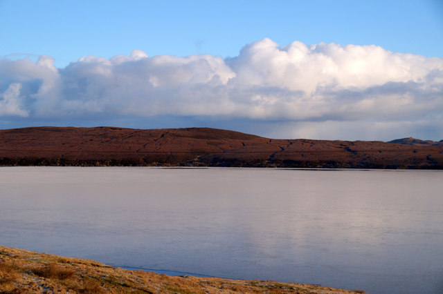
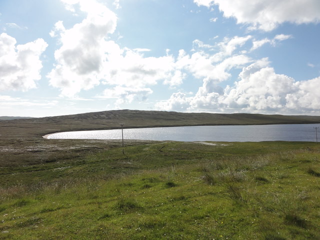
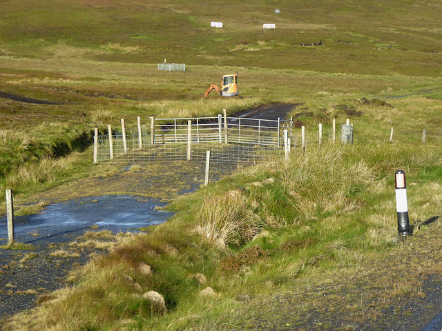
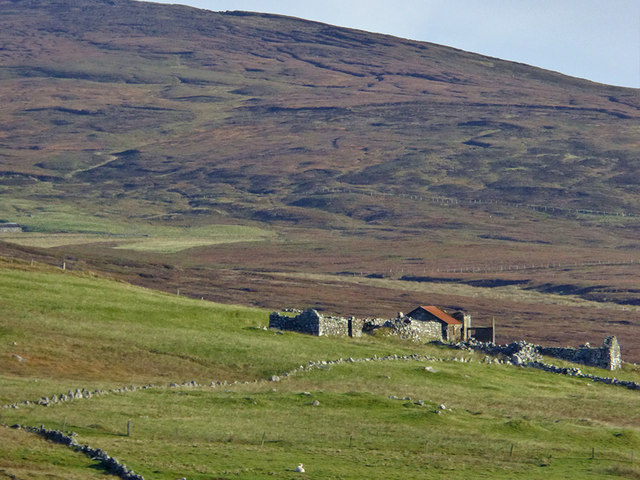
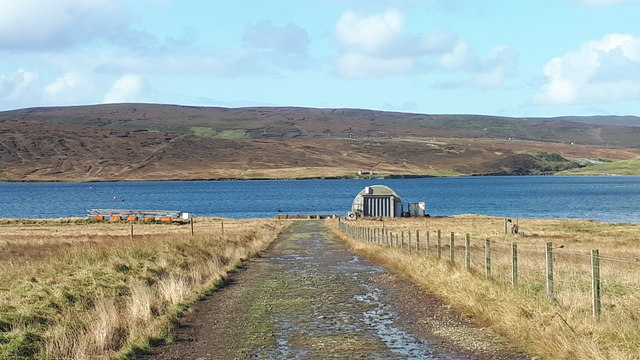
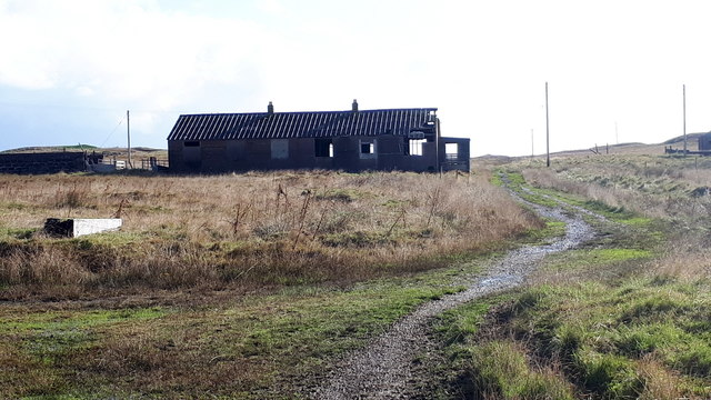
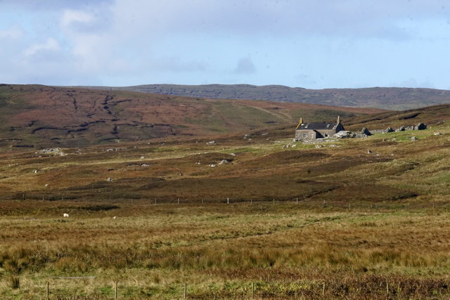
Ayre of Quoys is a picturesque beach located on the island of Shetland, off the coast of Scotland. Situated in the northern part of the island, the beach offers breathtaking views of the North Sea and the surrounding rugged cliffs. The beach is a hidden gem, known for its pristine white sand and crystal-clear turquoise waters.

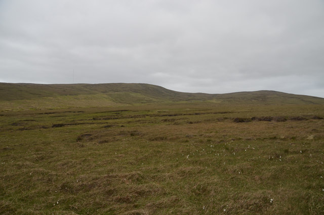
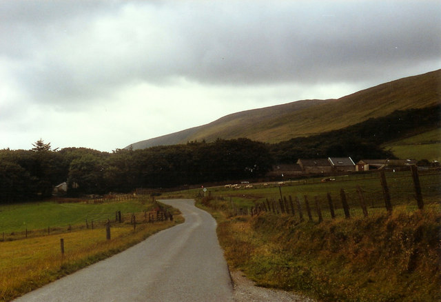
Ayre of Quoys is relatively secluded, making it a perfect spot for those seeking peace and tranquility. The beach is accessible via a short walk from the nearby car park, offering visitors a serene and untouched atmosphere. The beach is surrounded by rolling grassy dunes, which provide a natural barrier from the winds and create a sense of privacy.

The beach is a popular destination for nature enthusiasts and wildlife lovers. Visitors can often spot a variety of seabirds, such as puffins and terns, nesting along the cliffs. The area is also home to seals, which can be seen basking on the rocks or swimming in the shallow waters.

Ayre of Quoys is an ideal location for beachcombing, with an abundance of seashells and interesting rock formations to discover along the shoreline. The beach is also a great spot for picnicking and enjoying the stunning coastal scenery.

Overall, Ayre of Quoys is a hidden paradise, offering visitors a tranquil and unspoiled beach experience in the beautiful Shetland Islands.

If you have any feedback on the listing, please let us know in the comments section below.

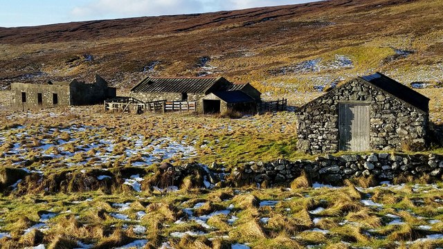
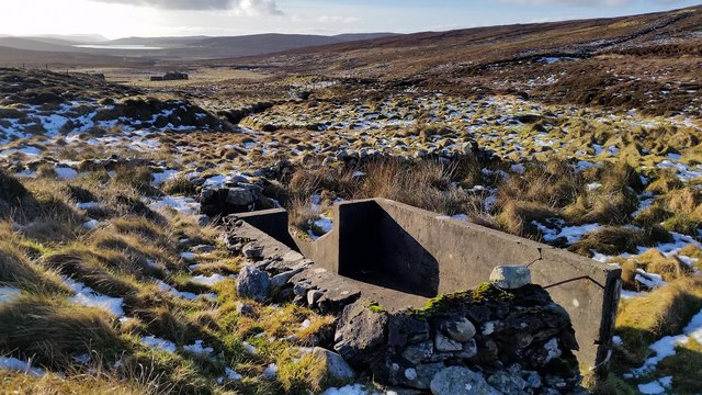
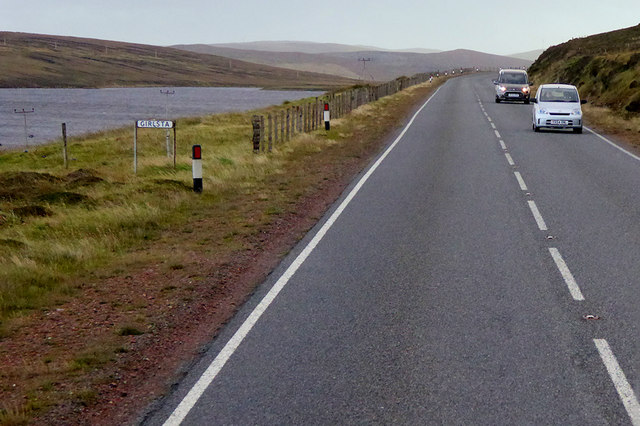
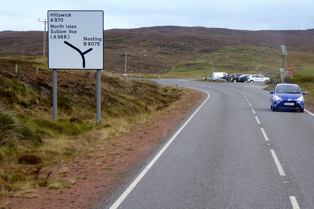
Ayre of Quoys Images

Images are sourced within 2km of 60.269095/-1.1984481 or Grid Reference HU4454. Thanks to Geograph Open Source API. All images are credited.

Frozen Loch of Girlsta Girlsta is Shetland's deepest loch, and rarely freezes.
Frozen Loch of Girlsta
Girlsta is Shetland's deepest loch, and rarely freezes.
South Nesting View of the road.
South Nesting
View of the road.
Loch of Girlsta View from the A970 of the Loch of Girlsta
Loch of Girlsta
View from the A970 of the Loch of Girlsta
Moorland at Flamister, Shetland
Moorland Gateway near Flamister, South Nesting, Shetland
Croft at Flamister Croft and outbuildings at Flamister.
Croft at Flamister
Croft and outbuildings at Flamister.
Sheepfold and Dipper Sheepfold shown on OS Maps with more modern sheep dipper built onto it. Croft of Flamister in background.
Sheepfold and Dipper
Sheepfold shown on OS Maps with more modern sheep dipper built onto it. Croft of Flamister in background.
Viking Energy mast One of Viking Energy's masts that dot the central mainland of Shetland.
Viking Energy mast
One of Viking Energy's masts that dot the central mainland of Shetland.
Southbound A970, Girlsta The loch at Girlsta is the deepest in Shetland, at about 65ft deep in places. The name "Girlsta" comes from the Old Norse "Geirhildastadr" - meaning "the place of Geirhilda". Geirhilda was a young Viking princess, daughter of the famous 9th century Viking explorer, Flóki Vilgerðarson. According to local folklore Geirhilda drowned in the loch after falling through the ice and she is buried on the small island within the loch. 
More information about the story at <span class="nowrap"><a title="https://www.shetlandwithlaurie.com/blog/geirhildrs-loch-a-viking-saga" rel="nofollow ugc noopener" href="https://www.shetlandwithlaurie.com/blog/geirhildrs-loch-a-viking-saga">Link</a><img style="margin-left:2px;" alt="External link" title="External link - shift click to open in new window" src="https://s1.geograph.org.uk/img/external.png" width="10" height="10"/></span> (Shetland with Laurie) and <span class="nowrap"><a title="https://madbassist.wixsite.com/hobbitpaw/folklore" rel="nofollow ugc noopener" href="https://madbassist.wixsite.com/hobbitpaw/folklore">Link</a><img style="margin-left:2px;" alt="External link" title="External link - shift click to open in new window" src="https://s1.geograph.org.uk/img/external.png" width="10" height="10"/></span> (Folklore and Shetland Stories)
Southbound A970, Girlsta
The loch at Girlsta is the deepest in Shetland, at about 65ft deep in places. The name "Girlsta" comes from the Old Norse "Geirhildastadr" - meaning "the place of Geirhilda". Geirhilda was a young Viking princess, daughter of the famous 9th century Viking explorer, Flóki Vilgerðarson. According to local folklore Geirhilda drowned in the loch after falling through the ice and she is buried on the small island within the loch. More information about the story at LinkExternal link (Shetland with Laurie) and LinkExternal link (Folklore and Shetland Stories)
Northbound A970 near Girlsta The A970 runs for 71 miles across most of the length of the "Mainland" in the Shetland Islands. It is a good-quality single-carriageway road for most of its route. Travelling from south to north, the road begins at Grutness near Sumburgh Airport and winds around the many hills and inlets passing close to a number of small villages without going through any large ones before Lerwick. After looping around Lerwick, a short spur runs to Scalloway whilst the main route continues northwards towards Brae where it crosses the narrow isthmus of Mavis Grind. At Sandy Lochs the road splits and a four-mile spur goes through Urafirth to Hillswick. The main route continuing to the right towards its northern terminus at Isbister. This last part of the route tends to be narrower with passing places.

<span class="nowrap"><a title="https://www.sabre-roads.org.uk/wiki/index.php?title=A970" rel="nofollow ugc noopener" href="https://www.sabre-roads.org.uk/wiki/index.php?title=A970">Link</a><img style="margin-left:2px;" alt="External link" title="External link - shift click to open in new window" src="https://s1.geograph.org.uk/img/external.png" width="10" height="10"/></span>  SABRE
Northbound A970 near Girlsta
The A970 runs for 71 miles across most of the length of the "Mainland" in the Shetland Islands. It is a good-quality single-carriageway road for most of its route. Travelling from south to north, the road begins at Grutness near Sumburgh Airport and winds around the many hills and inlets passing close to a number of small villages without going through any large ones before Lerwick. After looping around Lerwick, a short spur runs to Scalloway whilst the main route continues northwards towards Brae where it crosses the narrow isthmus of Mavis Grind. At Sandy Lochs the road splits and a four-mile spur goes through Urafirth to Hillswick. The main route continuing to the right towards its northern terminus at Isbister. This last part of the route tends to be narrower with passing places. LinkExternal link SABRE
Moorland near Catfirth A small section of the old (pre-1970s) road is just visible below the peat.
Moorland near Catfirth
A small section of the old (pre-1970s) road is just visible below the peat.
A970 passing Loch of Girlsta The A970 runs for 71 miles across most of the length of the "Mainland" in the Shetland Islands. It is a good-quality single-carriageway road for most of its route. Travelling from south to north, the road begins at Grutness near Sumburgh Airport and winds around the many hills and inlets passing close to a number of small villages without going through any large ones before Lerwick. After looping around Lerwick, a short spur runs to Scalloway whilst the main route continues northwards towards Brae where it crosses the narrow isthmus of Mavis Grind. At Sandy Lochs the road splits and a four-mile spur goes through Urafirth to Hillswick. The main route continuing to the right towards its northern terminus at Isbister. This last part of the route tends to be narrower with passing places.

<span class="nowrap"><a title="https://www.sabre-roads.org.uk/wiki/index.php?title=A970" rel="nofollow ugc noopener" href="https://www.sabre-roads.org.uk/wiki/index.php?title=A970">Link</a><img style="margin-left:2px;" alt="External link" title="External link - shift click to open in new window" src="https://s1.geograph.org.uk/img/external.png" width="10" height="10"/></span>  SABRE
A970 passing Loch of Girlsta
The A970 runs for 71 miles across most of the length of the "Mainland" in the Shetland Islands. It is a good-quality single-carriageway road for most of its route. Travelling from south to north, the road begins at Grutness near Sumburgh Airport and winds around the many hills and inlets passing close to a number of small villages without going through any large ones before Lerwick. After looping around Lerwick, a short spur runs to Scalloway whilst the main route continues northwards towards Brae where it crosses the narrow isthmus of Mavis Grind. At Sandy Lochs the road splits and a four-mile spur goes through Urafirth to Hillswick. The main route continuing to the right towards its northern terminus at Isbister. This last part of the route tends to be narrower with passing places. LinkExternal link SABRE
Southbound A970 near Catfirth The A970 runs for 71 miles across most of the length of the "Mainland" in the Shetland Islands. It is a good-quality single-carriageway road for most of its route. Travelling from south to north, the road begins at Grutness near Sumburgh Airport and winds around the many hills and inlets passing close to a number of small villages without going through any large ones before Lerwick. After looping around Lerwick, a short spur runs to Scalloway whilst the main route continues northwards towards Brae where it crosses the narrow isthmus of Mavis Grind. At Sandy Lochs the road splits and a four-mile spur goes through Urafirth to Hillswick. The main route continuing to the right towards its northern terminus at Isbister. This last part of the route tends to be narrower with passing places.

<span class="nowrap"><a title="https://www.sabre-roads.org.uk/wiki/index.php?title=A970" rel="nofollow ugc noopener" href="https://www.sabre-roads.org.uk/wiki/index.php?title=A970">Link</a><img style="margin-left:2px;" alt="External link" title="External link - shift click to open in new window" src="https://s1.geograph.org.uk/img/external.png" width="10" height="10"/></span>  SABRE
Southbound A970 near Catfirth
The A970 runs for 71 miles across most of the length of the "Mainland" in the Shetland Islands. It is a good-quality single-carriageway road for most of its route. Travelling from south to north, the road begins at Grutness near Sumburgh Airport and winds around the many hills and inlets passing close to a number of small villages without going through any large ones before Lerwick. After looping around Lerwick, a short spur runs to Scalloway whilst the main route continues northwards towards Brae where it crosses the narrow isthmus of Mavis Grind. At Sandy Lochs the road splits and a four-mile spur goes through Urafirth to Hillswick. The main route continuing to the right towards its northern terminus at Isbister. This last part of the route tends to be narrower with passing places. LinkExternal link SABRE
Northbound A970 near Catfirth The A970 runs for 71 miles across most of the length of the "Mainland" in the Shetland Islands. It is a good-quality single-carriageway road for most of its route. Travelling from south to north, the road begins at Grutness near Sumburgh Airport and winds around the many hills and inlets passing close to a number of small villages without going through any large ones before Lerwick. After looping around Lerwick, a short spur runs to Scalloway whilst the main route continues northwards towards Brae where it crosses the narrow isthmus of Mavis Grind. At Sandy Lochs the road splits and a four-mile spur goes through Urafirth to Hillswick. The main route continuing to the right towards its northern terminus at Isbister. This last part of the route tends to be narrower with passing places.

<span class="nowrap"><a title="https://www.sabre-roads.org.uk/wiki/index.php?title=A970" rel="nofollow ugc noopener" href="https://www.sabre-roads.org.uk/wiki/index.php?title=A970">Link</a><img style="margin-left:2px;" alt="External link" title="External link - shift click to open in new window" src="https://s1.geograph.org.uk/img/external.png" width="10" height="10"/></span>  SABRE
Northbound A970 near Catfirth
The A970 runs for 71 miles across most of the length of the "Mainland" in the Shetland Islands. It is a good-quality single-carriageway road for most of its route. Travelling from south to north, the road begins at Grutness near Sumburgh Airport and winds around the many hills and inlets passing close to a number of small villages without going through any large ones before Lerwick. After looping around Lerwick, a short spur runs to Scalloway whilst the main route continues northwards towards Brae where it crosses the narrow isthmus of Mavis Grind. At Sandy Lochs the road splits and a four-mile spur goes through Urafirth to Hillswick. The main route continuing to the right towards its northern terminus at Isbister. This last part of the route tends to be narrower with passing places. LinkExternal link SABRE
Derelict Croft, Hill of Catfirth
Track to the shore at Catfirth
The remains of Catfirth airfield Only open for about a year at the end of the First World War, but of especial significance to Shetland as the location of the first plane to land in the islands.
The remains of Catfirth airfield
Only open for about a year at the end of the First World War, but of especial significance to Shetland as the location of the first plane to land in the islands.
Ruin at Crown, Catfirth
Show me another place!

Ayre of Quoys is located at Grid Ref: HU4454 (Lat: 60.269095, Lng: -1.1984481)

Unitary Authority: Shetland Islands

Police Authority: Highlands and Islands

What 3 Words

///approve.bridges.wiggling. Near Aith, Shetland Islands

Related Wikis

RAF Catfirth

RAF Catfirth was a First World War seaplane base located on the island of Mainland in the Shetland Islands, Scotland. The base was under the control of...

Freester

Freester is a settlement on Mainland, Shetland, Scotland. It is in the parish of Nesting. == References == == External links == Canmore - Hard Knowe site...

Geopark Shetland

Geopark Shetland is the name used by the Geopark formally established in September 2009 on its entry into the European Geoparks Network. The Geopark extends...

Viking Wind Farm

Viking Wind Farm is a large on-shore wind farm under construction in the Shetland Islands which is being developed by Viking Energy, a partnership between...

North Isle of Gletness

The North Isle of Gletness is one of the Shetland Islands. It is east of the Shetland Mainland, near Gletness in Nesting parish, and is so called in contradistinction...

Central Mainland

The Central Mainland of the Shetland Islands is the part of the Mainland, the largest of the Shetland Islands, Scotland. It is located between Hellister...

South Isle of Gletness

The South Isle of Gletness is an islet off Gletness, in Nesting in east central, Mainland, Shetland. It is 30m at its highest point. Amongst its features...

Weisdale

Weisdale is a bay, hamlet and ancient parish on Mainland in Shetland, Scotland. The bay opens near the northern extremity of Scalloway Bay, and strikes...

Nearby Amenities

Located within 500m of 60.269095,-1.1984481
Power: pole
Lat/Long: 60.2686525/-1.1896486
Power: pole
Lat/Long: 60.2687855/-1.1908221
Power: pole
Lat/Long: 60.2689152/-1.1920229
Power: pole
Lat/Long: 60.2693156/-1.1926619
Power: pole
Lat/Long: 60.2698232/-1.1934807
Power: pole
Lat/Long: 60.2703386/-1.1943153
Power: pole
Lat/Long: 60.2704108/-1.1954683
Power: pole
Lat/Long: 60.2704671/-1.1965509
Power: pole
Lat/Long: 60.270554/-1.1980359
Power: pole
Lat/Long: 60.2706194/-1.1991821
Power: pole
Lat/Long: 60.2703002/-1.1998872
Power: pole
Lat/Long: 60.2698818/-1.2007855
Power: pole
Lat/Long: 60.269398/-1.2018384
Power: pole
Lat/Long: 60.2689051/-1.2029164
Power: pole
Lat/Long: 60.2688442/-1.2037852
Power: pole
Lat/Long: 60.268763/-1.2048313
Power: pole
Lat/Long: 60.2686671/-1.206139
Power: pole
Lat/Long: 60.2685679/-1.2074421
The data included in this document is from www.openstreetmap.org. The data is made available under ODbL.

Have you been to Ayre of Quoys?

Leave your review of Ayre of Quoys below (or comments, questions and feedback).