Aith Ayre

Beach in Shetland

Scotland

Aith Ayre

Mail Burial Ground Adjacent to the sea as is usual on Scottish islands.
Mail Burial Ground Credit: Oliver Dixon

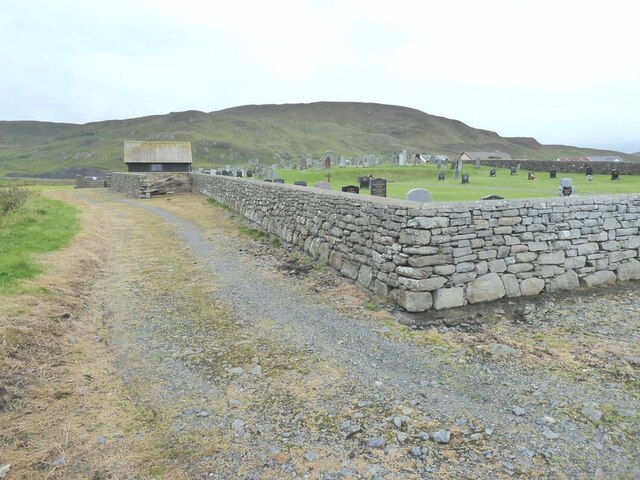
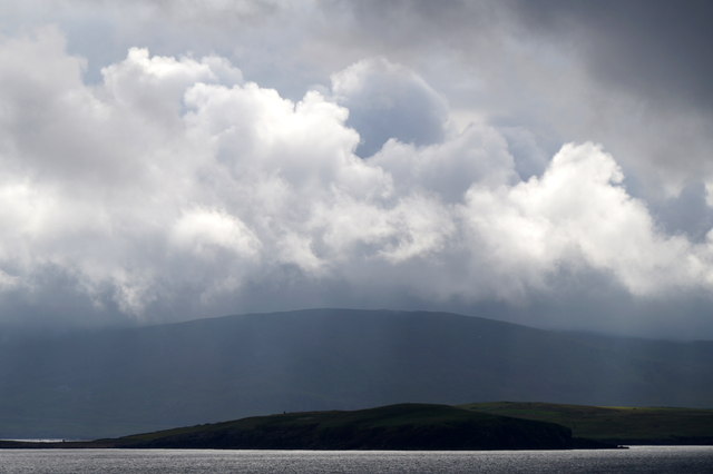
Aith Ayre is a stunning beach located on the island of Shetland, Scotland. Situated on the west coast of the mainland, it offers visitors a picturesque and unspoiled natural environment. The beach stretches for approximately half a mile and is known for its pristine white sand and crystal-clear turquoise waters. It is a popular destination for locals and tourists alike.

Aith Ayre is surrounded by rugged cliffs and rolling hills, providing a breathtaking backdrop to the beach. The area is rich in wildlife, making it a haven for birdwatchers and nature enthusiasts. It is not uncommon to spot various seabirds, including puffins, guillemots, and fulmars, along the coast.

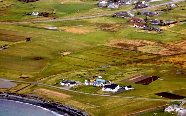
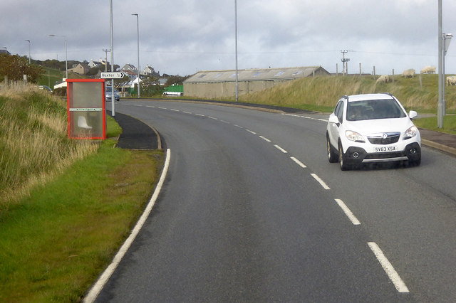
The beach is easily accessible by road, with ample parking available nearby. There are also public transport options for those without private vehicles. Visitors can enjoy various activities at Aith Ayre, such as swimming, picnicking, and beachcombing. The calm waters make it an ideal spot for families with children.

Within walking distance of the beach, there are facilities including a café, toilets, and even a campsite for those who wish to spend more time in the area. The beach also offers stunning views of the surrounding landscape, particularly during sunrise and sunset.

Aith Ayre is a true gem of Shetland, offering visitors a tranquil and idyllic coastal experience. Whether you are seeking relaxation or adventure, this beach is sure to captivate you with its natural beauty and serene atmosphere.

If you have any feedback on the listing, please let us know in the comments section below.
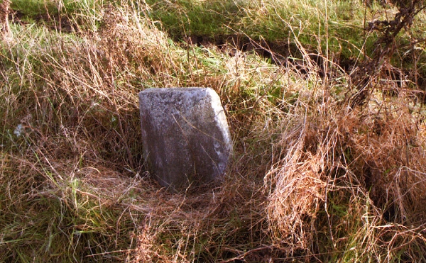
Aith Ayre Images

Images are sourced within 2km of 60.047626/-1.2034973 or Grid Reference HU4429. Thanks to Geograph Open Source API. All images are credited.

Mail Burial Ground Adjacent to the sea as is usual on Scottish islands.
Mail Burial Ground
Adjacent to the sea as is usual on Scottish islands.
Helli Ness to Bard Head We are at the parking place above Crossie Geo halfway between Lerwick and Sumburgh Head on the mainland of Shetland and I am looking north east across Greenmow and Helli Ness to Bard Head, Bressay. The Isle of Noss can be seen beyond Bressay.
Helli Ness to Bard Head
We are at the parking place above Crossie Geo halfway between Lerwick and Sumburgh Head on the mainland of Shetland and I am looking north east across Greenmow and Helli Ness to Bard Head, Bressay. The Isle of Noss can be seen beyond Bressay.
Aith, Cunningsburgh, from the air
Greenmow and Helli Ness, Cunningsburgh, from the air
Helli Ness, Cunningsburgh, from the air
South Voxter, Cunningsburgh, from the air
Aithsetter, Cunningsburgh, from the air
Ukinsetter, Fladdabister, from the air
Helli Ness, Cunningsburgh, from the sea Taken from the ferry en route to Orkney, from about 3 km distance.
Helli Ness, Cunningsburgh, from the sea
Taken from the ferry en route to Orkney, from about 3 km distance.
House under renovation, Cunningsburgh
A970 at Cunningsburgh Cunningsburgh, formerly also known as Coningsburgh (from the Old Norse: Konungsborgr meaning "King's castle"), is a hamlet on the coast of Mainland Shetland, nine miles south-west of Lerwick, about halfway between there and Sumburgh Head.
A970 at Cunningsburgh
Cunningsburgh, formerly also known as Coningsburgh (from the Old Norse: Konungsborgr meaning "King's castle"), is a hamlet on the coast of Mainland Shetland, nine miles south-west of Lerwick, about halfway between there and Sumburgh Head.
Bus Stop at Cunningsburgh Bus stop outside Cunningsburgh Primary School.
Bus Stop at Cunningsburgh
Bus stop outside Cunningsburgh Primary School.
Bus Stop on the A970 at Cunningsburgh Cunningsburgh, formerly also known as Coningsburgh (from the Old Norse: Konungsborgr meaning "King's castle"), is a hamlet on the coast of Mainland Shetland, nine miles south-west of Lerwick, about halfway between there and Sumburgh Head.
Bus Stop on the A970 at Cunningsburgh
Cunningsburgh, formerly also known as Coningsburgh (from the Old Norse: Konungsborgr meaning "King's castle"), is a hamlet on the coast of Mainland Shetland, nine miles south-west of Lerwick, about halfway between there and Sumburgh Head.
Bus Stop at Cunningsburgh Cunningsburgh, formerly also known as Coningsburgh (from the Old Norse: Konungsborgr meaning "King's castle"), is a hamlet on the coast of Mainland Shetland, nine miles south-west of Lerwick, about halfway between there and Sumburgh Head.
Bus Stop at Cunningsburgh
Cunningsburgh, formerly also known as Coningsburgh (from the Old Norse: Konungsborgr meaning "King's castle"), is a hamlet on the coast of Mainland Shetland, nine miles south-west of Lerwick, about halfway between there and Sumburgh Head.
Old Milestone by the A970, Cunningsburgh South Shetland concrete by the A970, in parish of Dunrossness (Mainland District), Cunningsburgh South, on embankment, mostly buried, East side of road.

Surveyed

Milestone Society National ID: SH_LWSB11
Old Milestone by the A970, Cunningsburgh South
Shetland concrete by the A970, in parish of Dunrossness (Mainland District), Cunningsburgh South, on embankment, mostly buried, East side of road. Surveyed Milestone Society National ID: SH_LWSB11
Old milestone This concrete milestone on the east side of the A970 was found in 2010 mostly buried in the banking.   It is 11 miles from Lerwick.
Old milestone
This concrete milestone on the east side of the A970 was found in 2010 mostly buried in the banking. It is 11 miles from Lerwick.
Burn Of Aith Broch This mound has been identified as the remains of a broch. <span class="nowrap"><a title="https://canmore.org.uk/site/939/burn-of-aith" rel="nofollow ugc noopener" href="https://canmore.org.uk/site/939/burn-of-aith">Link</a><img style="margin-left:2px;" alt="External link" title="External link - shift click to open in new window" src="https://s1.geograph.org.uk/img/external.png" width="10" height="10"/></span>
Burn Of Aith Broch
This mound has been identified as the remains of a broch. LinkExternal link
Aithsvoe Marina A very nice facility, built in 2004, still looking new.
The biggish boat off the water is the Mousa Ferry (Solan IV); both it <a href="https://www.geograph.org.uk/photo/1180671">HU4428 : Mousa ferry at winter home, Aithsvoe, Cunningsburgh</a> and the ferry business is up for sale (2011)
Aithsvoe Marina
A very nice facility, built in 2004, still looking new. The biggish boat off the water is the Mousa Ferry (Solan IV); both it HU4428 : Mousa ferry at winter home, Aithsvoe, Cunningsburgh and the ferry business is up for sale (2011)
Show me another place!

Aith Ayre is located at Grid Ref: HU4429 (Lat: 60.047626, Lng: -1.2034973)

Unitary Authority: Shetland Islands

Police Authority: Highlands and Islands

What 3 Words

///making.recount.flaunting. Near Sandwick, Shetland Islands

Related Wikis

Aithsetter

Aithsetter (Old Norse: Eiðseti, meaning "the farm at the isthmus") is a village on the island of Mainland, in Shetland, Scotland. Aithsetter is in the...

Bremirehoull

Bremirehoull is a settlement on the island of Mainland, in Shetland, Scotland. Bremirehoull is situated on the A970 in the Cunningsburgh area. == References... ==

Cunningsburgh

Cunningsburgh, formerly also known as Coningsburgh (Old Norse: Konungsborgr meaning "King's castle"), is a new hamlet and ancient parish in the south of...

Mail, Shetland

Mail is a hamlet on the island of Mainland, in the Shetland Islands, Scotland. == Geography == Mail is located on the south-eastern side of the island...

Nearby Amenities

Located within 500m of 60.047626,-1.2034973
Aith
Place: hamlet
Lat/Long: 60.0501222/-1.2067907
Aith Wick
Natural: bay
Lat/Long: 60.0482392/-1.195407
Power: pole
Lat/Long: 60.0472914/-1.212388
Power: pole
Lat/Long: 60.0472488/-1.2111175
Power: pole
Lat/Long: 60.0472072/-1.2101288
Power: pole
Lat/Long: 60.0471773/-1.2091771
Power: pole
Lat/Long: 60.0471311/-1.2078812
Power: pole
Lat/Long: 60.047085/-1.2062758
Power: pole
Lat/Long: 60.0470446/-1.2051762
Power: pole
Lat/Long: 60.0470054/-1.2040767
Power: pole
Lat/Long: 60.0513019/-1.2072286
Power: pole
Lat/Long: 60.0510401/-1.2064617
Power: pole
Lat/Long: 60.0507691/-1.2056694
Power: pole
Lat/Long: 60.0505627/-1.2063832
Power: pole
Lat/Long: 60.0499676/-1.205577
Power: pole
Lat/Long: 60.0495179/-1.2049741
Power: pole
Lat/Long: 60.048819/-1.2045583
Power: pole
Lat/Long: 60.047984/-1.2043365
Power: pole
Lat/Long: 60.0472493/-1.2041448
Power: pole
Lat/Long: 60.046145/-1.2038434
Power: pole
Lat/Long: 60.0454172/-1.2036378
Power: pole
Lat/Long: 60.0449455/-1.2035177
Power: pole
Lat/Long: 60.0443168/-1.2033675
Power: pole
Lat/Long: 60.0435763/-1.2031688
Power: pole
Lat/Long: 60.0494694/-1.2053114
Power: pole
Lat/Long: 60.0493991/-1.2058473
Power: pole
Lat/Long: 60.0491304/-1.2055516
The data included in this document is from www.openstreetmap.org. The data is made available under ODbL.

Have you been to Aith Ayre?

Leave your review of Aith Ayre below (or comments, questions and feedback).