Greva Sand
Beach in Shetland
Scotland
Greva Sand
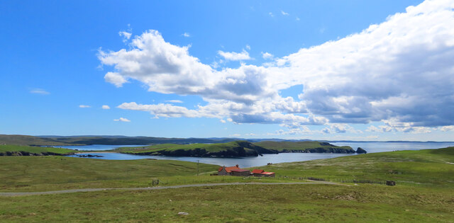
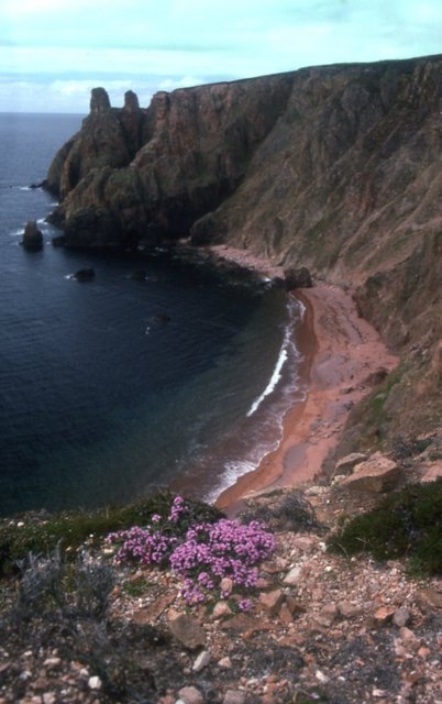
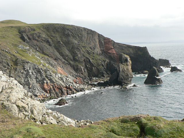
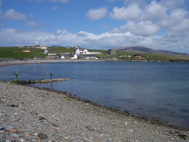
Greva Sand is a picturesque beach located on the Shetland Islands, situated off the northeast coast of mainland Scotland. This stunning beach is renowned for its unspoiled natural beauty and breathtaking views. With its pristine white sands and crystal-clear turquoise waters, Greva Sand offers a tranquil and idyllic escape for visitors.
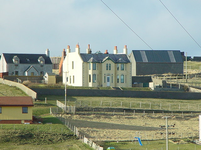
The beach can be accessed by a short walk from the nearby village of Gulberwick, making it easily reachable for both locals and tourists. Upon arrival, visitors are greeted by a wide expanse of sand, stretching for approximately 500 meters along the coastline. The beach is flanked by rocky cliffs on either side, adding to its dramatic and rugged charm.
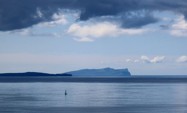
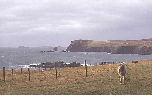
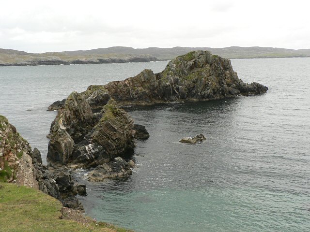
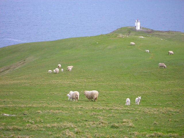
Greva Sand is known for its rich marine life and is a popular spot for wildlife enthusiasts. Seals can often be spotted lounging on the rocks, while seabirds soar overhead, creating a vibrant and lively atmosphere. The beach also offers stunning views of nearby islands and the vast North Sea.
The sandy shore is perfect for leisurely strolls, picnics, and sunbathing during the warmer months. It is important to note, however, that the water can be quite chilly even in summer, so swimming may not be suitable for everyone.
Greva Sand is a hidden gem on the Shetland Islands, providing a serene and unspoiled haven for nature lovers and beach enthusiasts alike. Whether you are seeking a peaceful retreat or simply want to admire the beauty of the Scottish coastline, Greva Sand is a must-visit destination.
If you have any feedback on the listing, please let us know in the comments section below.
Greva Sand Images
Images are sourced within 2km of 60.465612/-1.511184 or Grid Reference HU2675. Thanks to Geograph Open Source API. All images are credited.


Greva Sand is located at Grid Ref: HU2675 (Lat: 60.465612, Lng: -1.511184)
Unitary Authority: Shetland Islands
Police Authority: Highlands and Islands
What 3 Words
///decks.gourmet.snowballs. Near Brae, Shetland Islands
Nearby Locations
Related Wikis

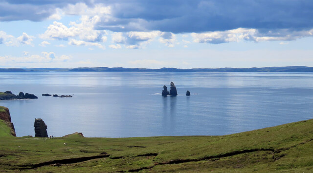
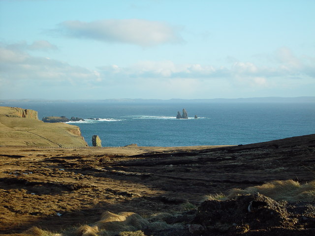
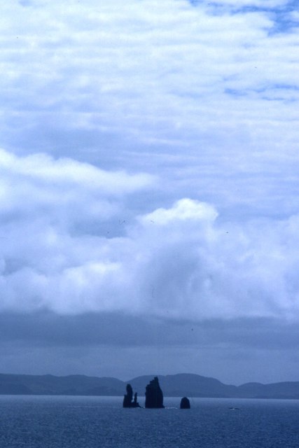
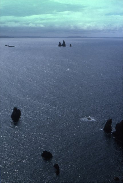
The Drongs
The Drongs are a group of sea stacks off the coast of Hillswick Ness, Northmavine, Shetland, Scotland. They lie to the west of the Isle of Westerhouse...

Hillswick
Hillswick is a small village in Northmavine, on the shore of the Atlantic Ocean and lies to the north-north west of Mainland, Shetland, the most northerly...

Tangwick Haa
Tangwick Haa is an historic house and museum in Esha Ness, Northmavine, Shetland. The building has two stories in a rectangular layout and along with the...

Braehoulland
Braehoulland is a hamlet on Mainland, in Shetland, Scotland. Braehoulland is situated within the parish of Northmaven. Eshaness Community Centre is located...
Have you been to Greva Sand?
Leave your review of Greva Sand below (or comments, questions and feedback).