Bathley

Settlement in Nottinghamshire Newark and Sherwood

England

Bathley

Arable land
Arable land Credit: N Chadwick

Bathley is a small village located in the district of Bassetlaw, Nottinghamshire, England. It is situated approximately 7 miles north of the market town of Newark-on-Trent and 15 miles east of the city of Nottingham. Bathley falls within the civil parish of Barnby in the Willows.

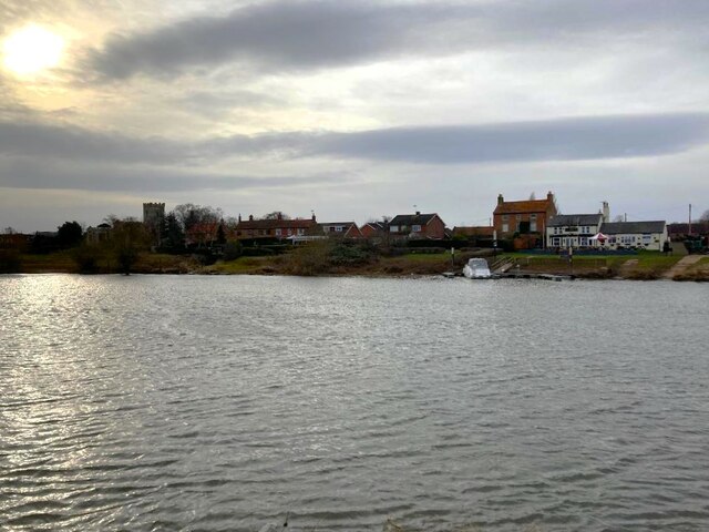
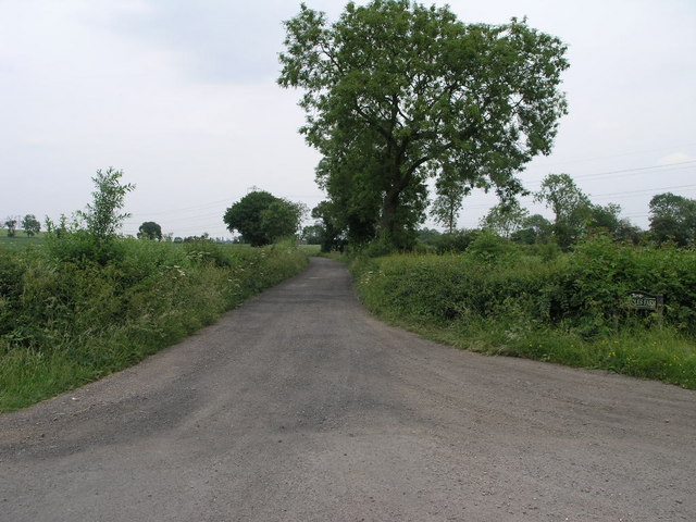
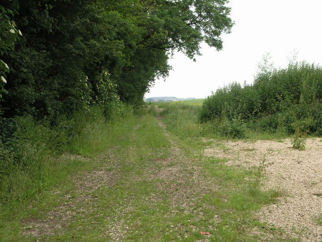
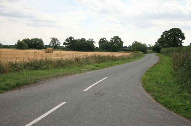
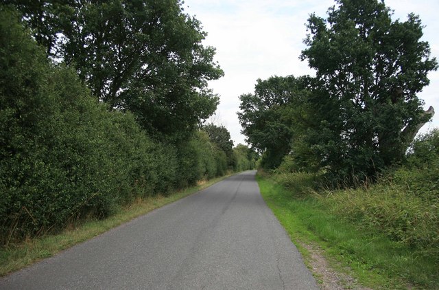
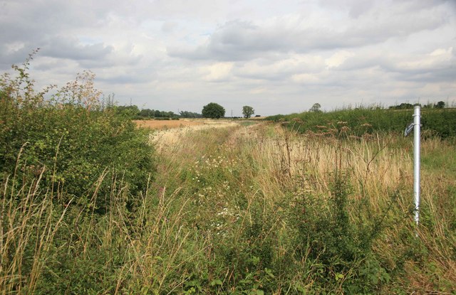
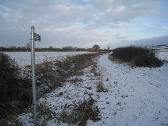
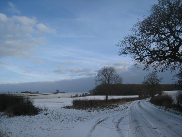
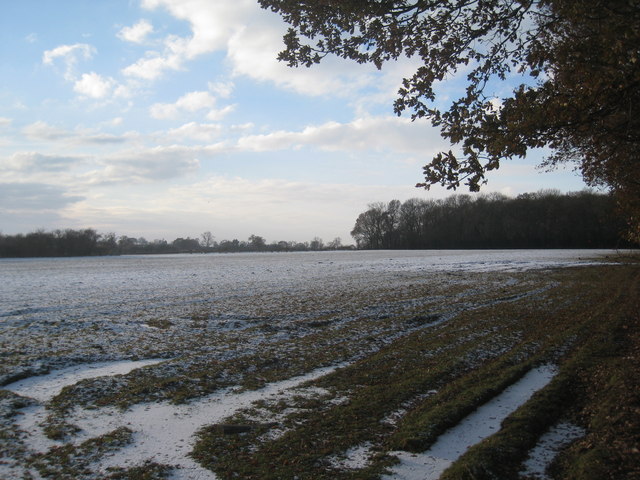
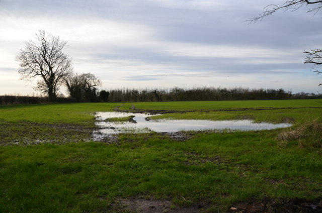
The village is known for its picturesque countryside setting, surrounded by agricultural fields and rolling hills. It offers a quiet and peaceful atmosphere, making it an ideal place for those seeking a rural lifestyle.

Bathley has a small community with a population of around 200 residents. The village is primarily residential, consisting of a mix of traditional cottages and modern houses. There are limited amenities within Bathley itself, with the nearest shops, schools, and services located in nearby towns.

The village is well-connected by road, with the A1 trunk road passing just to the west, providing easy access to surrounding areas. The nearby Newark North Gate railway station offers further transport links to other parts of the country.

Despite its small size, Bathley boasts a rich history, with evidence of human habitation dating back to Roman times. The village is home to St. Mary's Church, a Grade II listed building that dates back to the 12th century. The church is a focal point of the community and holds regular services and events.

Overall, Bathley offers a tranquil and scenic setting for residents, with easy access to nearby towns and good transportation links.

If you have any feedback on the listing, please let us know in the comments section below.
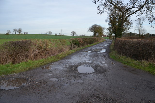
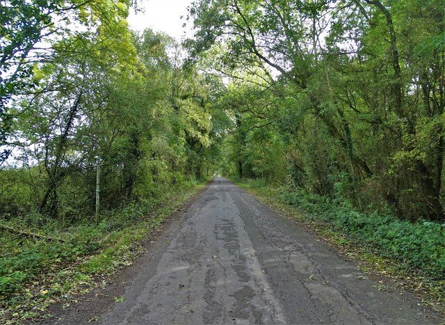
Bathley Images

Images are sourced within 2km of 53.12242/-0.837455 or Grid Reference SK7758. Thanks to Geograph Open Source API. All images are credited.

Arable land
Arable land
North Muskham seen from the East Bank of the Trent The Muskham Ferry pub and the Church of St Wilfrid can both be seen here.
North Muskham seen from the East Bank of the Trent
The Muskham Ferry pub and the Church of St Wilfrid can both be seen here.
Track to Foxholes This track leads to Foxholes Farm.
Track to Foxholes
This track leads to Foxholes Farm.
Norwell to the North The buildings in the hazy distance, next square north, are in Norwell the twin of nearby Southwell.
Norwell to the North
The buildings in the hazy distance, next square north, are in Norwell the twin of nearby Southwell.
Poser! This fellow stayed still long enough for me to get this still, and then noisily made his exit.
Poser!
This fellow stayed still long enough for me to get this still, and then noisily made his exit.
Fox Covert Pathway into a patch of woodland not so far east of Sherwood Forest.
Fox Covert
Pathway into a patch of woodland not so far east of Sherwood Forest.
View nr Foxholes farm  The corn has been cut recently in the field on the left.
View nr Foxholes farm
The corn has been cut recently in the field on the left.
Signpost by the track for Foxholes Farm
Norwood Road nr Fox covert
Footpath that follows the ditch  Footpath nr Watermill farm .
Footpath that follows the ditch
Footpath nr Watermill farm .
Snowbound bridleway near Norwell No evidence of it being used in the last 36 hours since the snow came down.
Snowbound bridleway near Norwell
No evidence of it being used in the last 36 hours since the snow came down.
The lane to North Muskham Not gritted and very icy in parts.
The lane to North Muskham
Not gritted and very icy in parts.
Winter scene above Sunnybrook Farm
The lane to Norwell Ungritted and very icy in parts.
The lane to Norwell
Ungritted and very icy in parts.
Waterlogged field Towards Sunnybrook Farm.
Waterlogged field
Towards Sunnybrook Farm.
Track to Foxholes Farm
From Bathleyhill Farm to Norwell: aerial 2017
Lane through the woods at Fox Covert
Show me another place!

Bathley is located at Grid Ref: SK7758 (Lat: 53.12242, Lng: -0.837455)

Administrative County: Nottinghamshire

District: Newark and Sherwood

Police Authority: Nottinghamshire

What 3 Words

///give.breaches.waffle. Near South Collingham, Nottinghamshire

Nearby Locations

Bathley

Related Wikis

Bathley

Bathley is a village and civil parish in the Newark and Sherwood district of Nottinghamshire, England, north-west of Newark-on-Trent. According to the...
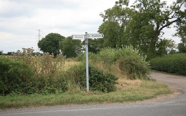
North Muskham

North Muskham is a village and civil parish in Nottinghamshire, England, close to the border with Lincolnshire. It is located between the River Trent...

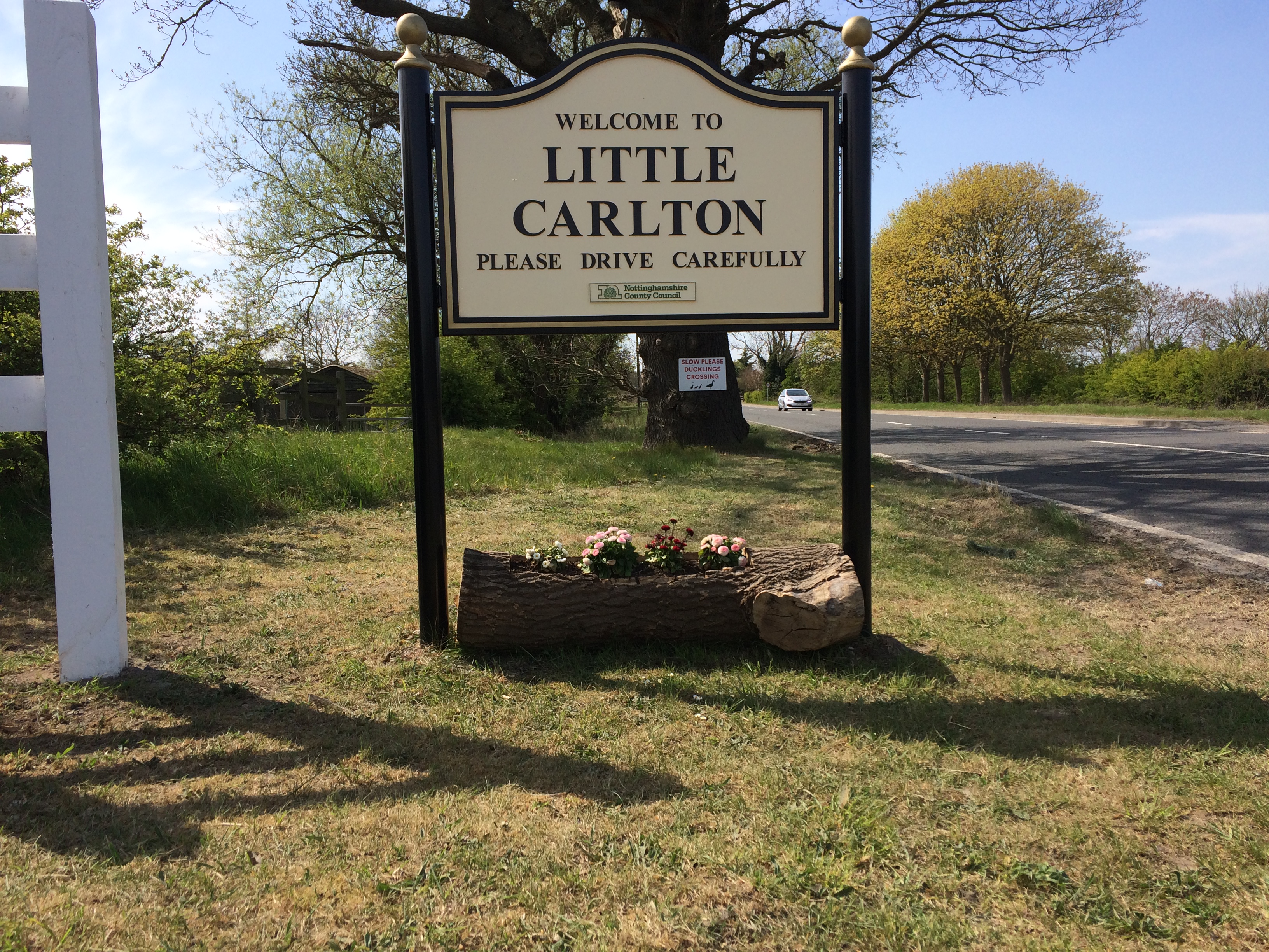
Little Carlton, Nottinghamshire

Little Carlton is a hamlet in the Newark and Sherwood district of Nottinghamshire, England, north-west of Newark-on-Trent. Little Carlton was recorded...

St Wilfrid's Church, North Muskham

St. Wilfrid's Church, North Muskham is a parish church in the Church of England in North Muskham, Nottinghamshire. The church is Grade I listed by the...

Nearby Amenities

Located within 500m of 53.12242,-0.837455
Created By: Merkaartor 0.12
Lat/Long: 53.1219759/-0.835051
Created By: Merkaartor 0.12
Lat/Long: 53.121635/-0.8325469
Bathley
Is In: Nottinghamshire, United Kingdom
Place: village
Wikidata: Q2164628
Lat/Long: 53.1234883/-0.8398656
Created By: Merkaartor 0.12
Lat/Long: 53.1216479/-0.830959
Created By: Merkaartor 0.12
Lat/Long: 53.119248/-0.8361389
Pub
The Crown
Created By: Merkaartor 0.12
Source: survey
Lat/Long: 53.1225284/-0.8381554
Bus Stop
Main Street
Bus: yes
Naptan AtcoCode: 3300NS0638
Naptan Bearing: NW
Naptan CommonName: Main Street
Naptan Crossing: Muskham Lane
Naptan Indicator: NW-bound
Naptan NaptanCode: ntsdjwmw
Naptan Notes: BW
Naptan Street: Main Street
Naptan Verified: no
Public Transport: platform
Source: naptan_import
Lat/Long: 53.1223101/-0.8381541
Main Street
Naptan AtcoCode: 3300NS0809
Naptan Bearing: SE
Naptan BusStopType: CUS
Naptan CommonName: Main Street
Naptan Crossing: Muskham Lane
Naptan Indicator: SE-bound
Naptan NaptanCode: ntsgmjwg
Naptan Notes: 3300NS0638
Naptan Street: Main Street
Naptan Verified: no
Source: naptan_import
Lat/Long: 53.1222631/-0.8379461
Power: tower
Source: Bing
Lat/Long: 53.1191561/-0.8329215
Power: pole
Lat/Long: 53.118332/-0.8345881
Power: pole
Lat/Long: 53.1200608/-0.8325925
Power: pole
Lat/Long: 53.1210073/-0.8315197
Power: pole
Lat/Long: 53.1217139/-0.8307579
Power: pole
Lat/Long: 53.1225896/-0.8306801
Power: pole
Lat/Long: 53.1234781/-0.8306238
Post Box
Brand: Royal Mail
Brand Wikidata: Q638098
Operator: Royal Mail
Operator Wikidata: Q638098
Post Box Type: lamp
Ref: NG23 26
Royal Cypher: EIIR
Royal Cypher Wikidata: Q33102113
Lat/Long: 53.1231876/-0.8386155
Telephone
Bathley Defibrillator
Defibrillator
Access: yes
Booth: K6
Covered: booth
Defibrillator Location: inside red phone box, Main Street, Bathley
Emergency: defibrillator
Man Made: telephone_box
Ref: CHT-13-603
Lat/Long: 53.1231836/-0.8385794
Advertising: board
Lat/Long: 53.1232021/-0.8386727
Bench
Lat/Long: 53.1230222/-0.838499
The data included in this document is from www.openstreetmap.org. The data is made available under ODbL.

Have you been to Bathley?

Leave your review of Bathley below (or comments, questions and feedback).