Bathgate
Settlement in West Lothian
Scotland
Bathgate
Bathgate is a town located in the county of West Lothian, Scotland. It lies approximately 20 miles west of Edinburgh and 30 miles east of Glasgow, making it a convenient location for commuters to both cities. Bathgate is situated on the southern edge of the West Lothian plateau, surrounded by picturesque countryside and rolling hills.
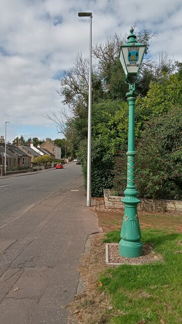
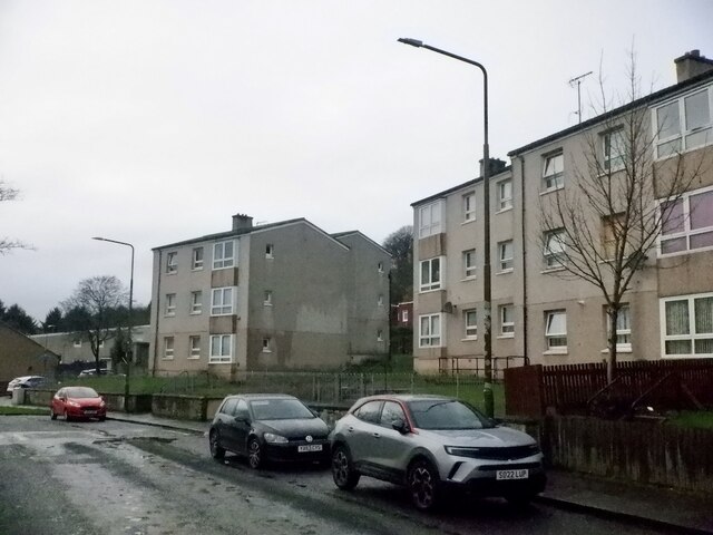
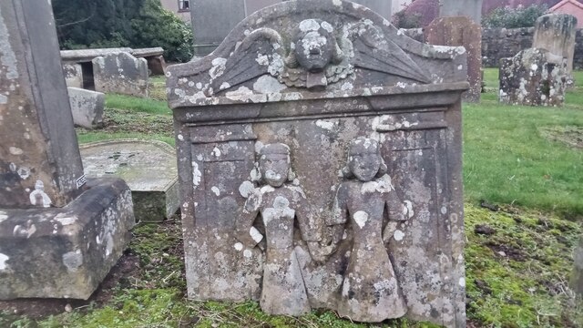
The town has a rich history that dates back to medieval times when it was a major market town and a center of trade. Today, Bathgate is a bustling town with a population of around 11,000 people. It offers a variety of amenities and services, including several supermarkets, shops, restaurants, and leisure facilities.
One of the town's notable landmarks is Bathgate Academy, a secondary school with a long-standing reputation for academic excellence. Bathgate also boasts a vibrant arts scene, with the Regal Theatre hosting live performances and film screenings throughout the year.
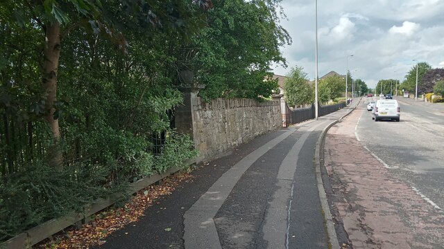
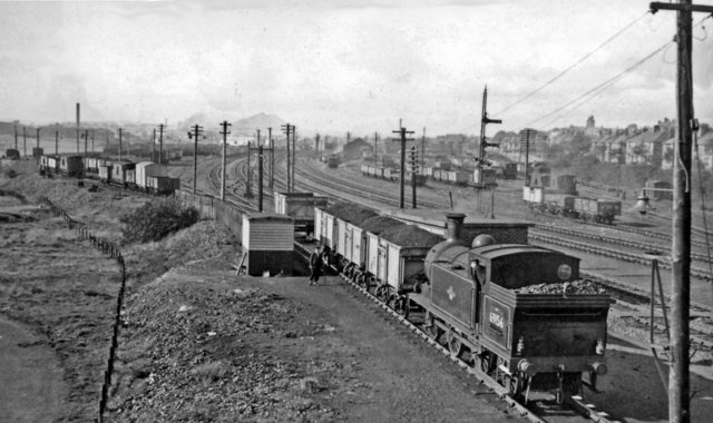
Transportation links in Bathgate are well-established, with a train station providing regular services to Edinburgh, Glasgow, and other nearby towns. The M8 motorway also runs close to the town, offering easy access to both cities by car.
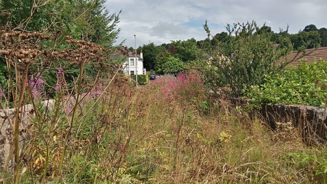
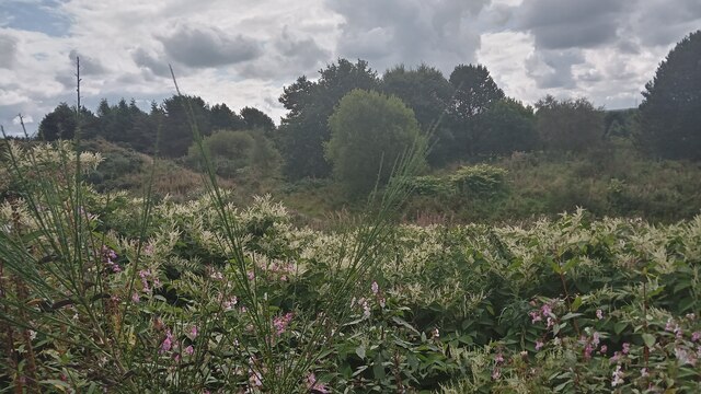
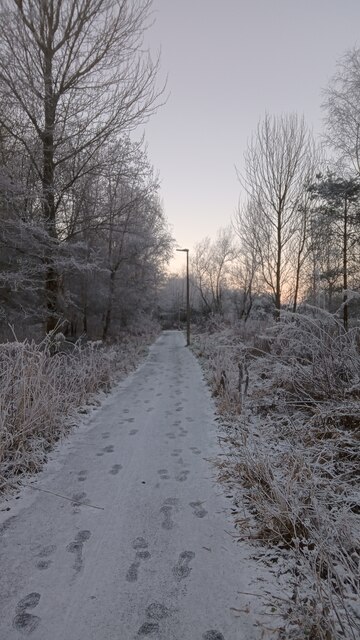
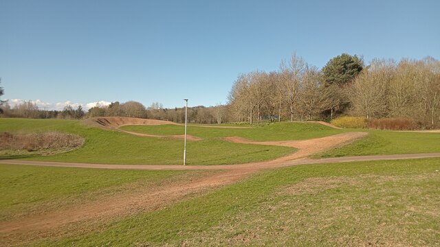
Bathgate is surrounded by beautiful countryside, making it an ideal location for outdoor enthusiasts. The nearby Bathgate Hills provide ample opportunity for hiking, cycling, and nature walks. The town is also home to several parks and green spaces, including Bathgate Park, which offers a peaceful retreat from the hustle and bustle of everyday life.
In summary, Bathgate is a thriving town with a rich history, excellent amenities, and convenient transport links. Its proximity to both Edinburgh and Glasgow, as well as its stunning natural surroundings, make it an attractive place to live or visit in West Lothian.
If you have any feedback on the listing, please let us know in the comments section below.
Bathgate Images
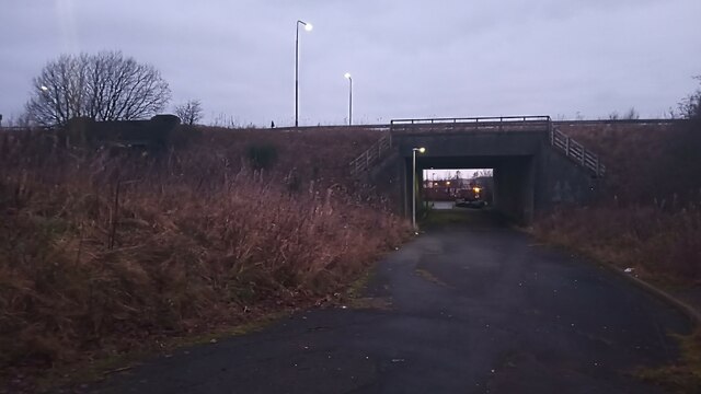
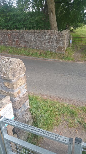
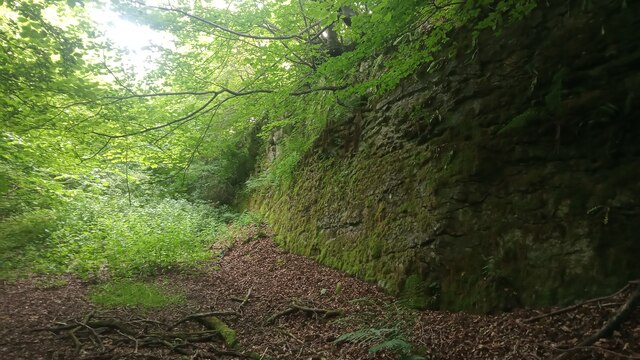
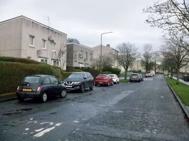
Images are sourced within 2km of 55.902511/-3.641848 or Grid Reference NS9768. Thanks to Geograph Open Source API. All images are credited.

Bathgate is located at Grid Ref: NS9768 (Lat: 55.902511, Lng: -3.641848)
Unitary Authority: West Lothian
Police Authority: The Lothians and Scottish Borders
What 3 Words
///bats.shrug.unique. Near Bathgate, West Lothian
Related Wikis

Bathgate
Bathgate (Scots: Bathket or Bathkit, Scottish Gaelic: Both Chèit) is a town in West Lothian, Scotland, 5 miles (8 km) west of Livingston and adjacent to...

Reconnect Regal Theatre
Reconnect Regal Theatre is a performance art/movie theatre located in Bathgate, Scotland. == Reconnect == The Reconnect Regal is the first project of the...

Mill Park, Bathgate
Mill Park was a football ground in Bathgate, Scotland. It was the home ground of Bathgate F.C. from 1902 until they folded in 1938. == History == Bathgate...

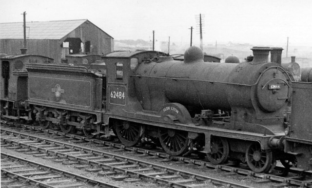
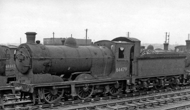
Bathgate railway station (1986)
Bathgate railway station was a railway station serving Bathgate in West Lothian, Scotland. It was located at the western end of the Edinburgh-Bathgate...
Nearby Amenities
Located within 500m of 55.902511,-3.641848Have you been to Bathgate?
Leave your review of Bathgate below (or comments, questions and feedback).