Furze Bay

Bay in Essex Tendring

England

Furze Bay

Skippers Island; 2010
Skippers Island; 2010 Credit: Mr James D

Furze Bay is a picturesque coastal area located in Essex, England. Situated on the eastern coast of the county, it offers stunning views of the North Sea and is a popular destination for locals and tourists alike.

The bay is characterized by its sandy beach, which stretches for approximately one mile, providing ample space for sunbathing, picnicking, and various recreational activities. The beach is well-maintained and clean, making it a family-friendly spot for a day out by the sea. The sand is soft and golden, ideal for building sandcastles or taking leisurely walks along the shore.

Furze Bay is also known for its calm waters, making it a favored spot for swimming and paddleboarding. Lifeguards are present during peak seasons to ensure the safety of visitors. The bay is also home to a variety of marine life, and snorkeling or diving enthusiasts can explore the underwater world and witness the vibrant sea creatures that inhabit the area.

Surrounding the bay, there are several amenities available to visitors. These include public toilets, parking facilities, and a range of beachside cafes and restaurants offering refreshments and meals. Additionally, there are designated areas for beach games and sports, providing entertainment for visitors of all ages.

Overall, Furze Bay offers a tranquil and scenic escape from the hustle and bustle of daily life. Whether it's enjoying a day on the beach, exploring the marine life, or simply soaking in the beauty of the surroundings, Furze Bay has something to offer for everyone seeking a coastal retreat in Essex.

If you have any feedback on the listing, please let us know in the comments section below.
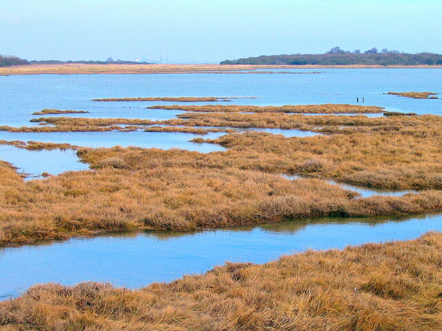
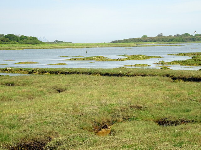
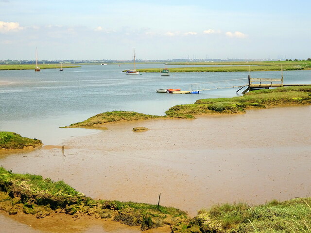
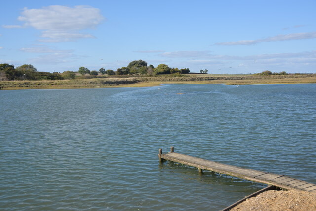
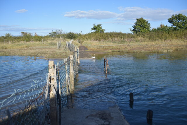
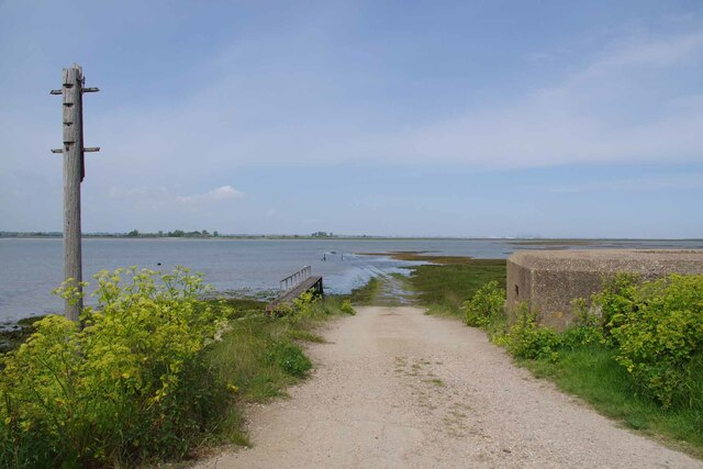
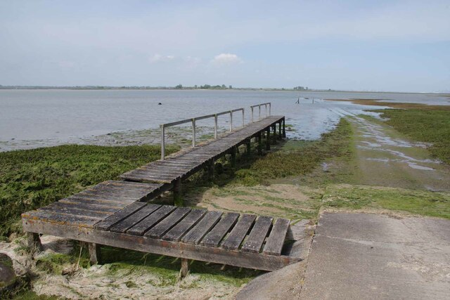
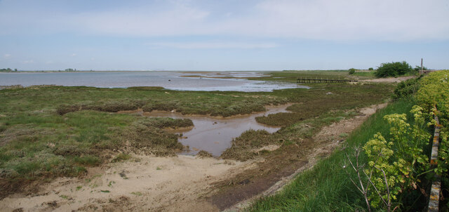
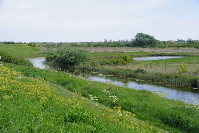
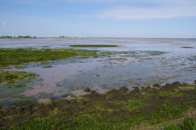
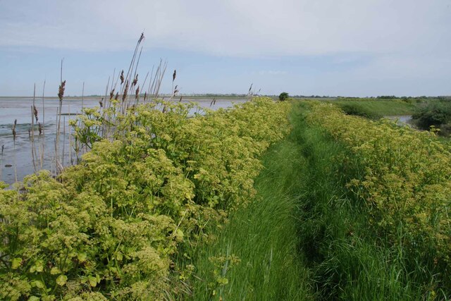
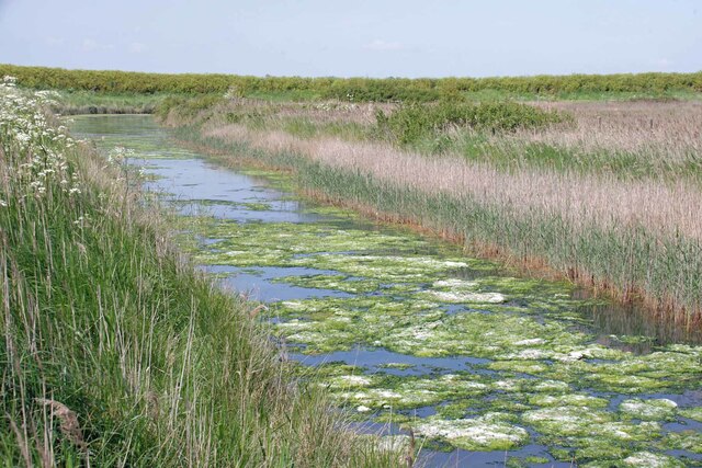
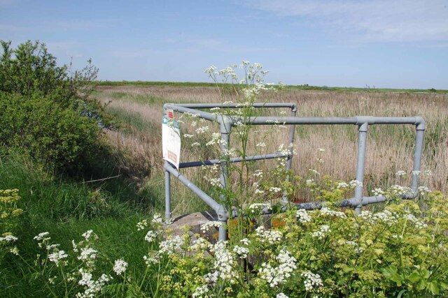
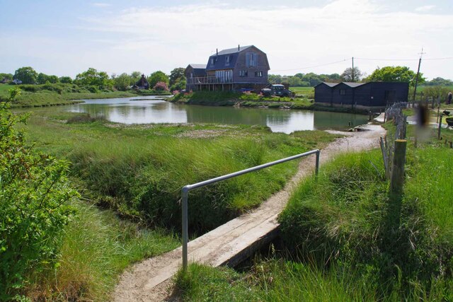
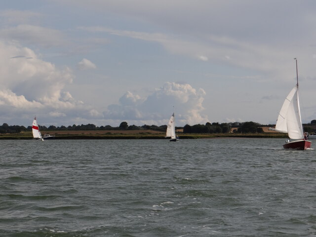
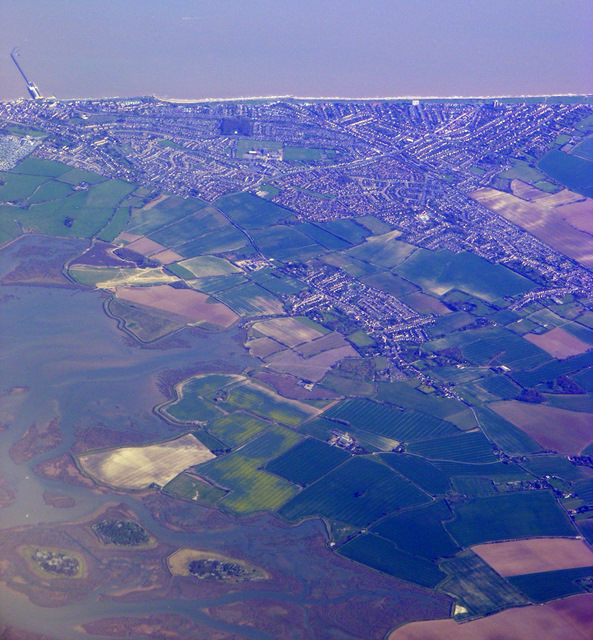
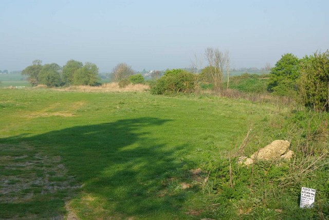
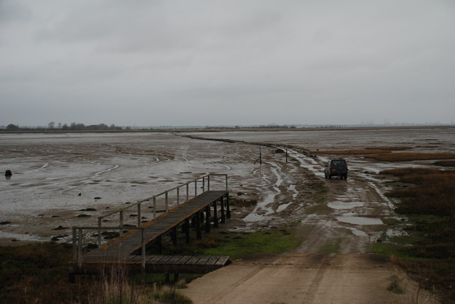
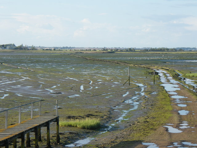
Furze Bay Images

Images are sourced within 2km of 51.873885/1.2323069 or Grid Reference TM2224. Thanks to Geograph Open Source API. All images are credited.

Skippers Island; 2010
Skippers Island; 2021
Hamford Water; near Skippers Island
Part of Hamford Water National Nature Reserve Near the Quay, Kirby-le-Soken, is this small jetty used by swimmers in the tidal water.
Part of Hamford Water National Nature Reserve
Near the Quay, Kirby-le-Soken, is this small jetty used by swimmers in the tidal water.
High tide thwarts points-bagger I had intended to walk this path to access three more squares I haven't visited but didn't have suitable footwear for the high tide.
High tide thwarts points-bagger
I had intended to walk this path to access three more squares I haven't visited but didn't have suitable footwear for the high tide.
Pillbox and Horsey Causeway Looking across Hamford Water towards Horsey Island <span class="nowrap"><a title="https://en.wikipedia.org/wiki/Horsey_Island" rel="nofollow ugc noopener" href="https://en.wikipedia.org/wiki/Horsey_Island">Link</a><img style="margin-left:2px;" alt="External link" title="External link - shift click to open in new window" src="https://s1.geograph.org.uk/img/external.png" width="10" height="10"/></span>
Pillbox and Horsey Causeway
Looking across Hamford Water towards Horsey Island LinkExternal link
Jetty For Horsey Island A receding tide on Hamford Water <span class="nowrap"><a title="https://en.wikipedia.org/wiki/Horsey_Island" rel="nofollow ugc noopener" href="https://en.wikipedia.org/wiki/Horsey_Island">Link</a><img style="margin-left:2px;" alt="External link" title="External link - shift click to open in new window" src="https://s1.geograph.org.uk/img/external.png" width="10" height="10"/></span>
Jetty For Horsey Island
A receding tide on Hamford Water LinkExternal link
Horsey Jetty Panorama Looking along the sea wall back towards the <a href="https://www.geograph.org.uk/photo/7490432">TM2322 : Jetty For Horsey Island</a>.
Horsey Jetty Panorama
Looking along the sea wall back towards the TM2322 : Jetty For Horsey Island.
Borrow Dike Near St Peters Point The Alexanders in the foreground are prolific on the sea wall.
Borrow Dike Near St Peters Point
The Alexanders in the foreground are prolific on the sea wall.
Saltmarsh in the Wade Looking across Hamford Water.
Saltmarsh in the Wade
Looking across Hamford Water.
Alexanders On the Sea Wall Looking along Frinton & Walton Footpath 36 that follows the seawall.
Alexanders On the Sea Wall
Looking along Frinton & Walton Footpath 36 that follows the seawall.
Algae on the Borrow Dike Looking towards St Peters Point.
Algae on the Borrow Dike
Looking towards St Peters Point.
Decoy Hall Sluice Looking towards St Peter's Point
Decoy Hall Sluice
Looking towards St Peter's Point
Kirby Quay The footbridge carries Frinton & Walton Footpath 32  across the ditch.
Kirby Quay
The footbridge carries Frinton & Walton Footpath 32 across the ditch.
Up Kirby Creek Dinghies sailing out of Kirby Creek from the direction of Honey Island.
Up Kirby Creek
Dinghies sailing out of Kirby Creek from the direction of Honey Island.
Walton on the Naze from the air Looking over Skipper's Island towards the town and the pier. Viewed from a Prague bound flight from Heathrow.
Walton on the Naze from the air
Looking over Skipper's Island towards the town and the pier. Viewed from a Prague bound flight from Heathrow.
Backwater Plea The small hand drawn sign on the right entreaties visitors to take their rubbish home to “keep our Beautiful Backwater Beautiful” it is ironic really as a few yards away there is a Council rubbish tip.
Backwater Plea
The small hand drawn sign on the right entreaties visitors to take their rubbish home to “keep our Beautiful Backwater Beautiful” it is ironic really as a few yards away there is a Council rubbish tip.
Horsey Island Tidal Causeway This tidal ford is found on Island Road leading from Kirby-le-Soken to Horsey Island. The photograph is taken from the 'pill box' at the head of the causeway at low-tide. The inlet is known as The Wade.
Horsey Island Tidal Causeway
This tidal ford is found on Island Road leading from Kirby-le-Soken to Horsey Island. The photograph is taken from the 'pill box' at the head of the causeway at low-tide. The inlet is known as The Wade.
Show me another place!

Furze Bay is located at Grid Ref: TM2224 (Lat: 51.873885, Lng: 1.2323069)

Administrative County: Essex

District: Tendring

Police Authority: Essex

What 3 Words

///twigs.divorcing.chemistry. Near Walton-on-the-Naze, Essex

Related Wikis

Skipper's Island

Skipper's Island is a 94.3-hectare (233-acre) nature reserve north of Kirby-le-Soken in Essex, England. It is owned and managed by the Essex Wildlife Trust...

Hamford Water

Hamford Water is a 2,185.8-hectare (5,401-acre) biological Site of Special Scientific Interest between Walton-on-the-Naze and Harwich in Essex. The site...

Horsey Island

Horsey Island is an island in the parish of Thorpe-le-Soken, Essex. It lies in Hamford Water and is part of the Hamford Water National Nature Reserve,...

Harwich (UK Parliament constituency)

Harwich was a parliamentary constituency represented in the House of Commons of the Parliament of the United Kingdom until its abolition for the 2010...

Nearby Amenities

Located within 500m of 51.873885,1.2323069
Horsey Island
Aeroway: aerodrome
Source: http://www.ukairfieldguide.net/airfields/Horsey-Island
Lat/Long: 51.8764132/1.2311524
The data included in this document is from www.openstreetmap.org. The data is made available under ODbL.

Have you been to Furze Bay?

Leave your review of Furze Bay below (or comments, questions and feedback).