Runswick Bay
Bay in Yorkshire
England
Runswick Bay
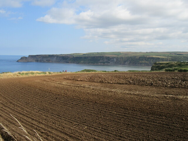
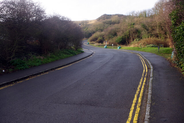
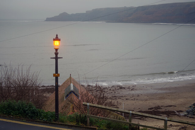
Runswick Bay is a picturesque village and bay located on the North Yorkshire coast, England. Situated approximately 9 miles north of Whitby, the bay is nestled between the cliffs of Kettleness and the village of Staithes. It is part of the North York Moors National Park, renowned for its stunning natural beauty.
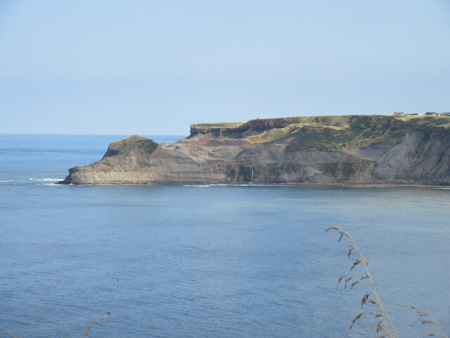
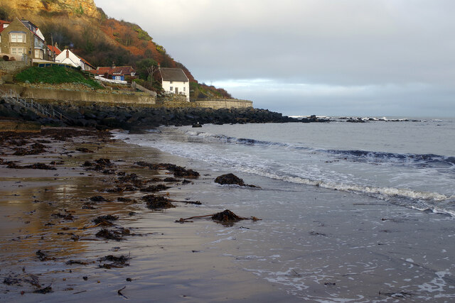
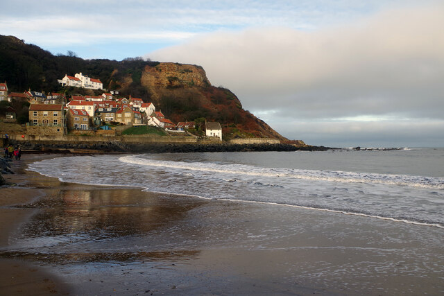
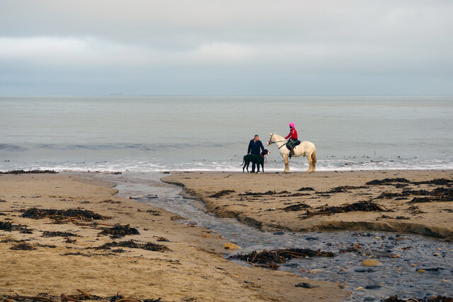
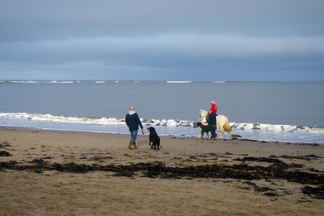
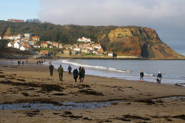
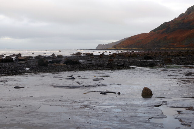
The bay is characterized by its sandy beach, flanked by towering cliffs on either side. The rugged cliffs are composed of Jurassic-era rocks, creating a dramatic backdrop to the bay. At low tide, the expansive sandy beach provides ample space for leisure activities such as sunbathing, picnicking, and beachcombing.
Runswick Bay is a popular destination for fossil hunters, as the bay is rich in fossils dating back millions of years. Fossils of ammonites, belemnites, and other prehistoric marine creatures can often be found embedded in the rocks and cliffs.
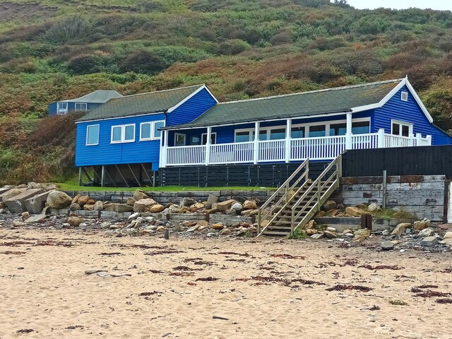
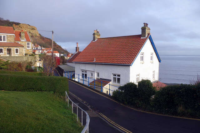
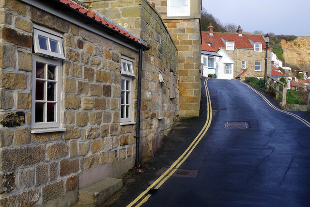
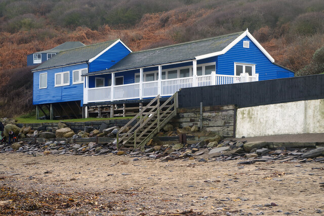
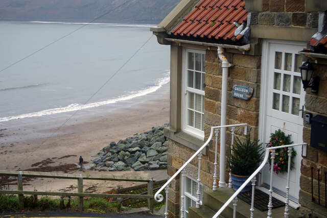
The village of Runswick Bay itself is a charming and well-preserved fishing community. It is home to a cluster of traditional red-roofed cottages, many of which date back to the 17th century. The narrow, winding streets and whitewashed buildings give the village a quaint and timeless feel.
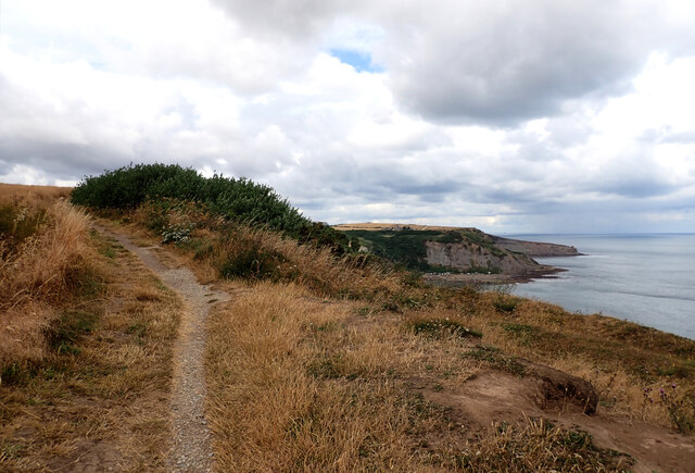
Visitors to Runswick Bay can also enjoy breathtaking coastal walks on the Cleveland Way National Trail, which passes through the bay. The trail offers magnificent views of the surrounding coastline, making it a favorite among hikers and nature enthusiasts.
Overall, Runswick Bay is a beautiful and tranquil destination, perfect for those seeking a peaceful coastal retreat or a chance to explore the wonders of nature.
If you have any feedback on the listing, please let us know in the comments section below.
Runswick Bay Images
Images are sourced within 2km of 54.532592/-0.73165061 or Grid Reference NZ8215. Thanks to Geograph Open Source API. All images are credited.
Runswick Bay is located at Grid Ref: NZ8215 (Lat: 54.532592, Lng: -0.73165061)
Division: North Riding
Administrative County: North Yorkshire
Police Authority: North Yorkshire
What 3 Words
///secondly.sprinting.duck. Near Whitby, North Yorkshire
Nearby Locations
Related Wikis

Hob Holes
The Hob Holes are caves in the cliffs of Runswick Bay, Scarborough, England which resulted from mining for jet – fossilised wood which is valuable as a...

Kettleness
Kettleness, is a hamlet in the Scarborough District of North Yorkshire, England. The settlement only consists of half-a-dozen houses, but up until the...

Kettleness railway station
Kettleness was a railway station on the Whitby, Redcar and Middlesbrough Union Railway from 1883 to 1958 serving the remote village of Kettleness. The...

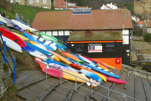
Runswick Bay Lifeboat Station
Runswick Bay Lifeboat Station was a Royal National Lifeboat Institution (RNLI) lifeboat station located in Runswick Bay in North Yorkshire, England. The...

Runswick Bay
Runswick Bay is a bay in the Scarborough Borough of North Yorkshire, England. It is also the name of a village located on the western edge of the bay...
Goldsborough, Scarborough
Goldsborough is a small hamlet in the civil parish of Lythe, North Yorkshire, England within the North York Moors National Park. It is situated a few miles...
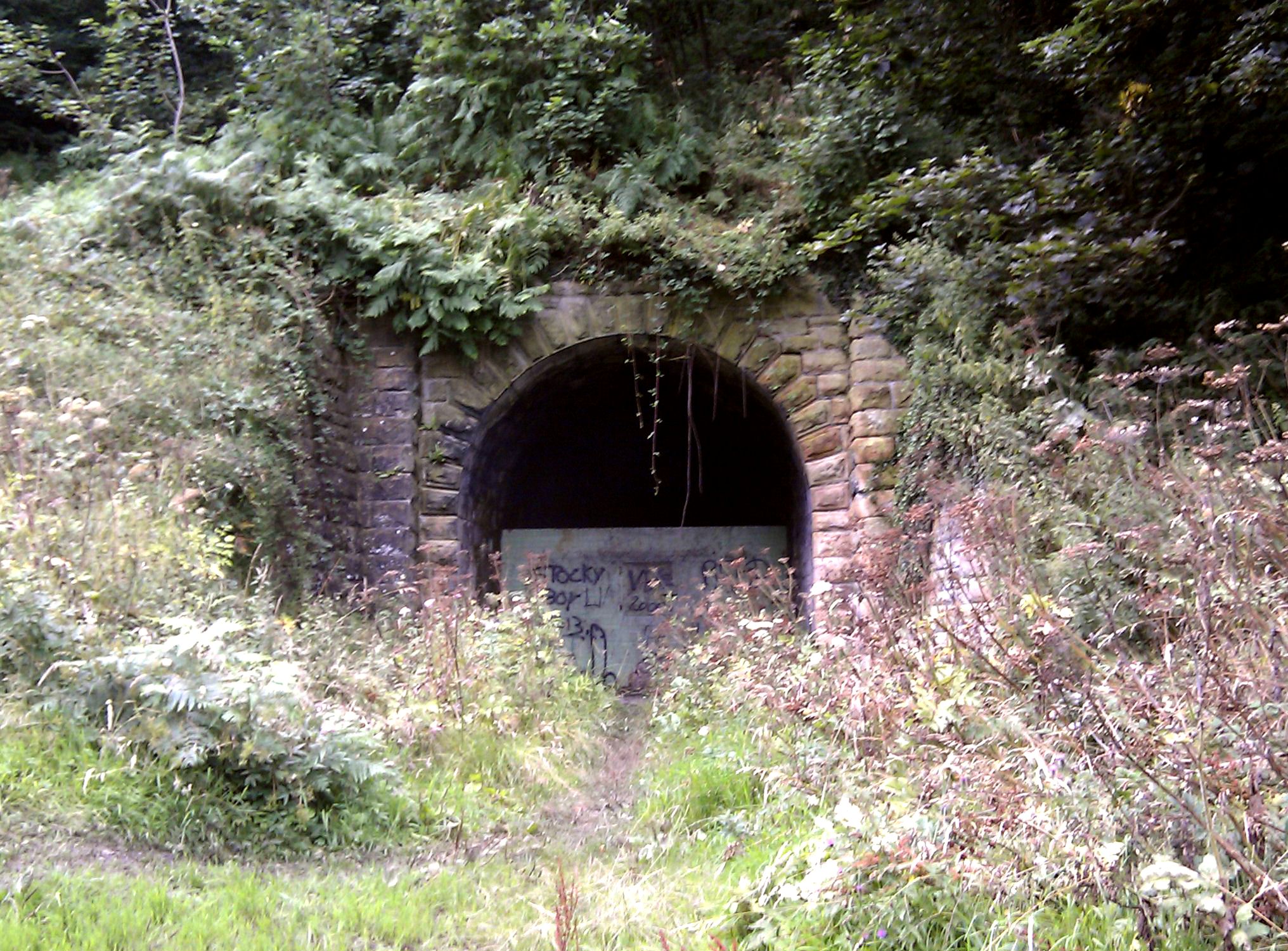
Sandsend Tunnel
Sandsend Tunnel is a tunnel on the former Whitby, Redcar and Middlesbrough Union Railway that was opened in 1883 and closed in 1958. The rail line that...

RAF Goldsborough
Royal Air Force Goldsborough or more simply RAF Goldsborough is a former Royal Air Force station located in North Yorkshire, England. == History == It...
Nearby Amenities
Located within 500m of 54.532592,-0.73165061Have you been to Runswick Bay?
Leave your review of Runswick Bay below (or comments, questions and feedback).