Doun Hellier
Bay in Shetland
Scotland
Doun Hellier
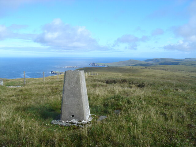
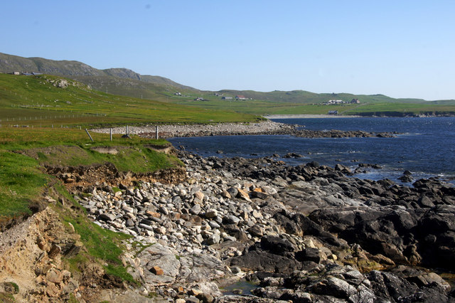
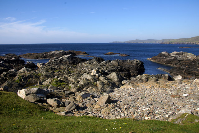
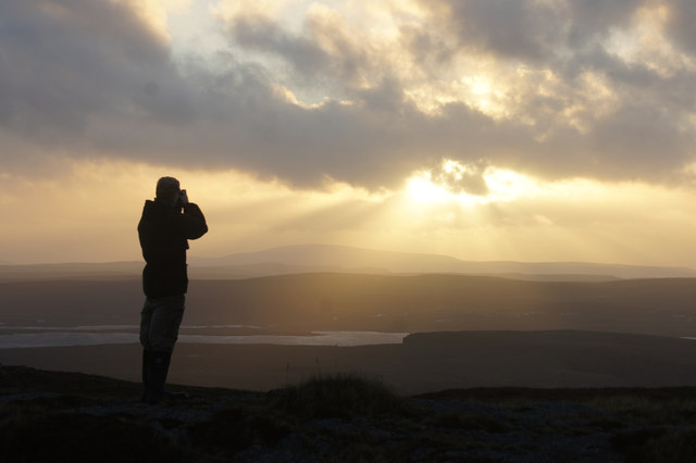
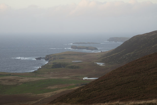
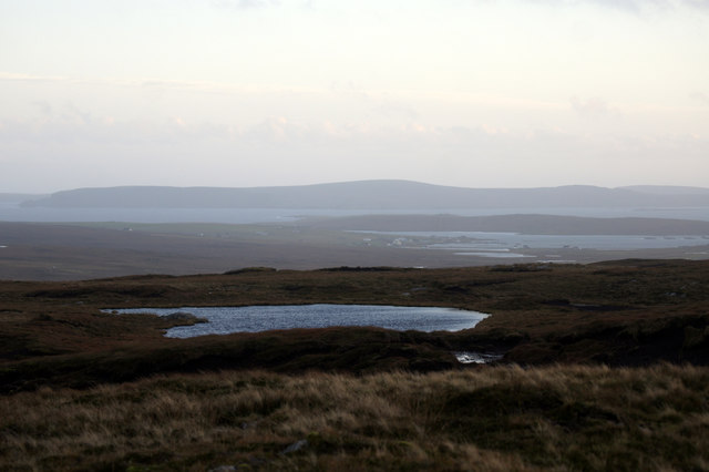
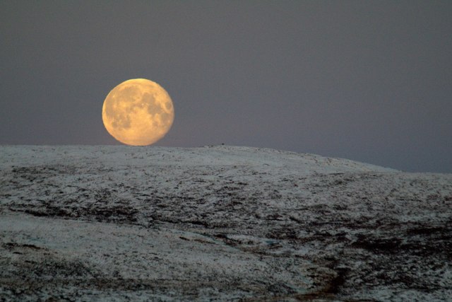
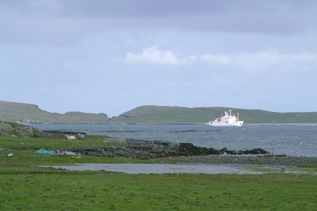
Doun Hellier is a small bay located on the island of Shetland in Scotland. This picturesque bay is situated on the east coast of the island, offering stunning views of the North Sea. With its tranquil atmosphere and natural beauty, Doun Hellier is a popular destination for visitors and locals alike.
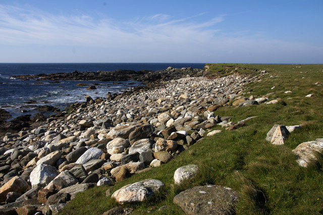
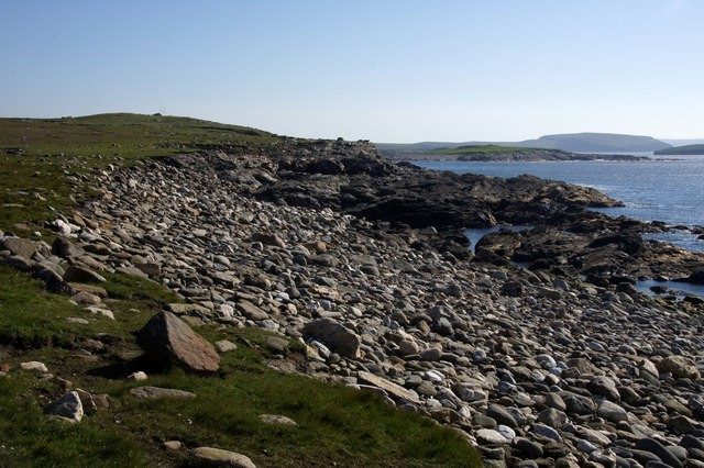
The bay is characterized by its rocky shores and breathtaking cliffs, which provide a dramatic backdrop to the surrounding landscape. The area is rich in wildlife, with seabirds such as puffins and guillemots often seen nesting on the cliffs. Seals can also be spotted lounging on the rocks or swimming in the crystal-clear waters.
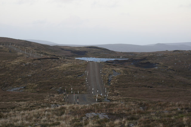
Accessible by foot, Doun Hellier offers visitors the opportunity to explore its rugged coastline and take in the stunning views. The bay is ideal for leisurely walks and picnics, with a small beach providing a peaceful spot for relaxation. The clear waters are perfect for swimming for those brave enough to take a dip in the chilly North Sea.
Doun Hellier is also a popular spot for fishing enthusiasts, with the bay known for its abundance of fish. Anglers can try their luck at catching cod, mackerel, or even the occasional salmon.
Overall, Doun Hellier is a hidden gem on the island of Shetland, offering a peaceful and picturesque retreat for nature lovers and outdoor enthusiasts. Its rugged beauty and diverse wildlife make it a must-visit destination for anyone exploring the Shetland Islands.
If you have any feedback on the listing, please let us know in the comments section below.
Doun Hellier Images
Images are sourced within 2km of 60.749167/-0.94253151 or Grid Reference HP5707. Thanks to Geograph Open Source API. All images are credited.


Doun Hellier is located at Grid Ref: HP5707 (Lat: 60.749167, Lng: -0.94253151)
Unitary Authority: Shetland Islands
Police Authority: Highlands and Islands
What 3 Words
///masters.others.proclaims. Near Baltasound, Shetland Islands
Nearby Locations
Related Wikis

Society of Our Lady of the Isles
The Society of Our Lady of the Isles (SOLI) is a small Anglican religious order for women, founded in the late 20th century. It is located in Shetland...

Brough Holm
Brough Holm is a small island off Unst, in the North Isles of Shetland. It is off Westing, which as the name implies is on the west coast of Unst. The...
Unst
Unst (; Scots: Unst; Norn: Ønst) is one of the North Isles of the Shetland Islands, Scotland. It is the northernmost of the inhabited British Isles and...

1992 New Year's Day Storm
The New Year's Day Storm (Norwegian: Nyttårsorkanen), known in Scotland as the 'Hogmanay Hurricane', was an intense European windstorm that affected much...

St Olaf's Church, Unst
St Olaf's Church, Unst is a ruined medieval church located on the island of Unst, in Shetland, Scotland, UK. The church was built in the Celtic style,...

Baltasound
Baltasound (or Baltasund) is the largest settlement on the island of Unst in Shetland, Scotland. It comes from the Old Norse man's name Balti (Baltisund...

Unst Airport
Unst Airport also called Baltasound Airport is an unlicensed airfield near Baltasound, on the island of Unst, Shetland Islands, Scotland. The airfield...
Balta Sound
Balta Sound is a sound (inlet) on the east coast of the island of Unst in the Shetland Islands, Scotland. The sound is sheltered from the North Sea to...
Nearby Amenities
Located within 500m of 60.749167,-0.94253151Have you been to Doun Hellier?
Leave your review of Doun Hellier below (or comments, questions and feedback).