Longa Taing
Coastal Feature, Headland, Point in Shetland
Scotland
Longa Taing
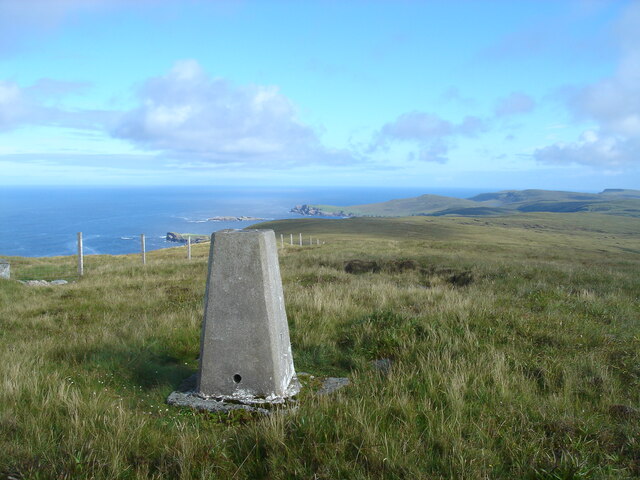
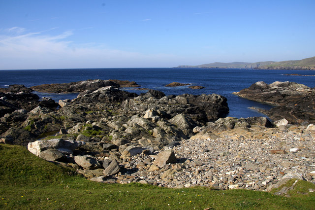
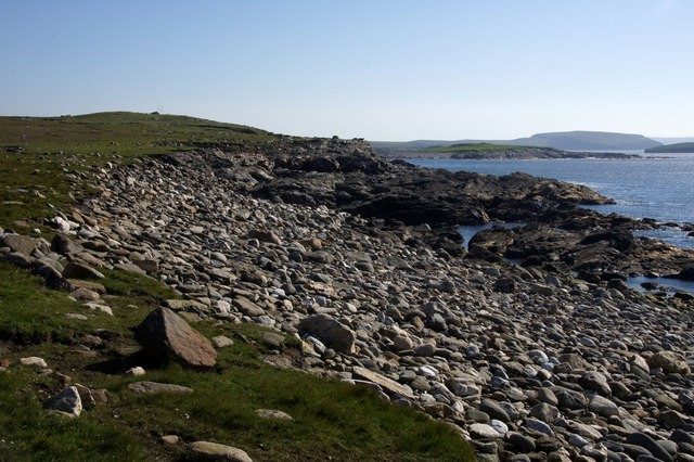
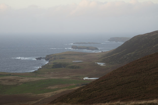
Longa Taing is a prominent coastal feature located in the picturesque Shetland Islands, off the northeastern coast of Scotland. It is a headland that extends into the North Sea, forming a distinct point that offers stunning views of the surrounding landscape.
Situated on the southern coast of the main Shetland island, Longa Taing boasts rugged cliffs that rise dramatically from the sea, making it a visually striking landmark. The headland is composed of sedimentary rocks, with layers of sandstone and shale visible along its exposed cliffs. These geological formations provide a glimpse into the island's ancient history and are of great interest to geologists and nature enthusiasts.
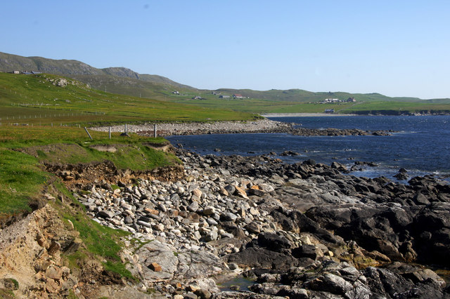
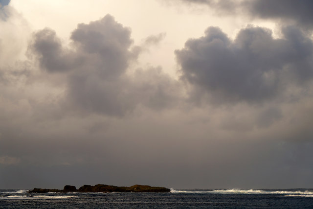
Longa Taing is also known for its rich wildlife and diverse ecosystem. The surrounding waters are teeming with marine life, including seals and various species of seabirds. Visitors often have the opportunity to witness these creatures in their natural habitat while enjoying the breathtaking views from the headland.
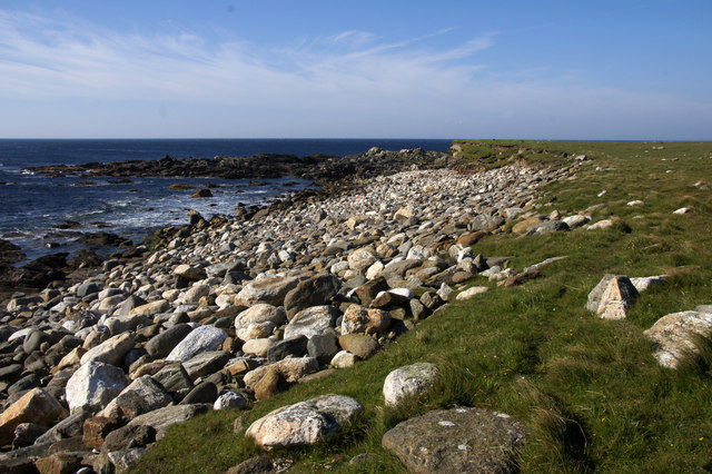
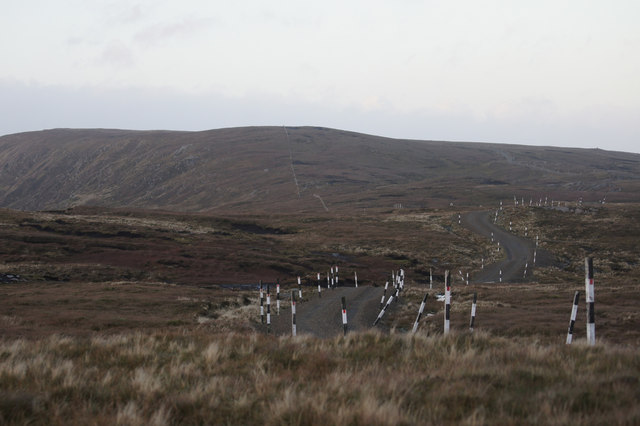
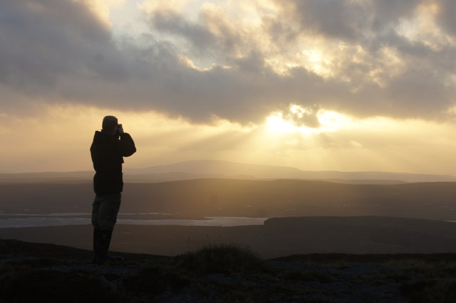
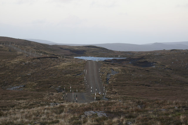
Access to Longa Taing is relatively easy, with a well-maintained footpath leading to the point. The headland is a popular destination for hikers and nature lovers who can explore the area and marvel at the unique coastal geology and wildlife. Photographers also flock to Longa Taing to capture the stunning vistas and capture the beauty of the Shetland Islands.
Overall, Longa Taing is an exceptional coastal feature in the Shetland Islands, offering visitors an opportunity to immerse themselves in the raw natural beauty of the region while experiencing its rich geological history and diverse wildlife.
If you have any feedback on the listing, please let us know in the comments section below.
Longa Taing Images
Images are sourced within 2km of 60.7493/-0.94797586 or Grid Reference HP5707. Thanks to Geograph Open Source API. All images are credited.


Longa Taing is located at Grid Ref: HP5707 (Lat: 60.7493, Lng: -0.94797586)
Unitary Authority: Shetland Islands
Police Authority: Highlands and Islands
What 3 Words
///seagull.rephrase.spite. Near Baltasound, Shetland Islands
Nearby Locations
Related Wikis

Society of Our Lady of the Isles
The Society of Our Lady of the Isles (SOLI) is a small Anglican religious order for women, founded in the late 20th century. It is located in Shetland...

Brough Holm
Brough Holm is a small island off Unst, in the North Isles of Shetland. It is off Westing, which as the name implies is on the west coast of Unst. The...
Unst
Unst (; Scots: Unst; Norn: Ønst) is one of the North Isles of the Shetland Islands, Scotland. It is the northernmost of the inhabited British Isles and...

1992 New Year's Day Storm
The New Year's Day Storm (Norwegian: Nyttårsorkanen), known in Scotland as the 'Hogmanay Hurricane', was an intense European windstorm that affected much...

St Olaf's Church, Unst
St Olaf's Church, Unst is a ruined medieval church located on the island of Unst, in Shetland, Scotland, UK. The church was built in the Celtic style,...

Baltasound
Baltasound (or Baltasund) is the largest settlement on the island of Unst in Shetland, Scotland. It comes from the Old Norse man's name Balti (Baltisund...

Unst Airport
Unst Airport also called Baltasound Airport is an unlicensed airfield near Baltasound, on the island of Unst, Shetland Islands, Scotland. The airfield...

Cullivoe
Cullivoe (Old Norse: Kollavágr - Bay of Kolli), is a village on Yell in the Shetland Islands. It is in the north east of the island, near Bluemull Sound...
Nearby Amenities
Located within 500m of 60.7493,-0.94797586Have you been to Longa Taing?
Leave your review of Longa Taing below (or comments, questions and feedback).