Wick of Gutcher
Bay in Shetland
Scotland
Wick of Gutcher
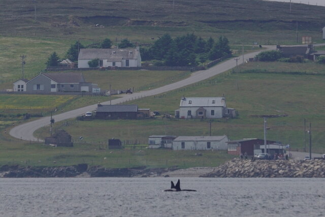
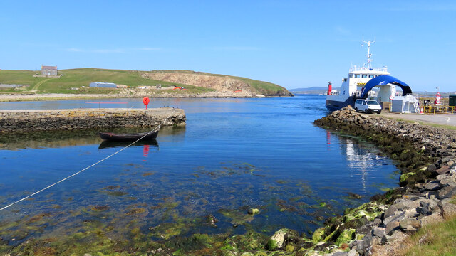
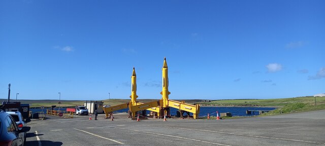
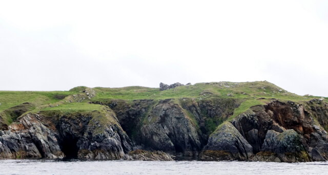
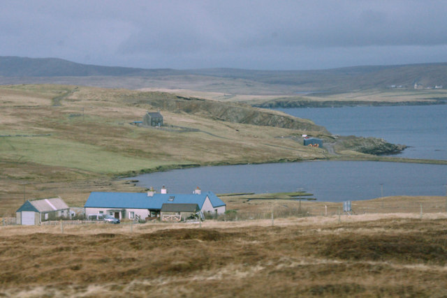
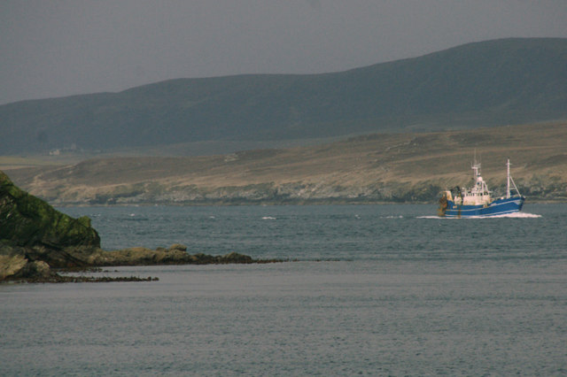
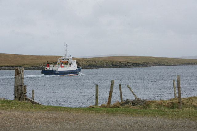
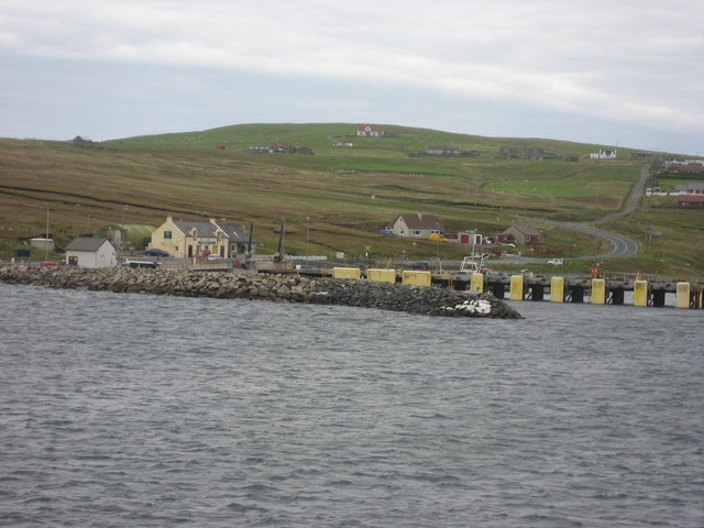
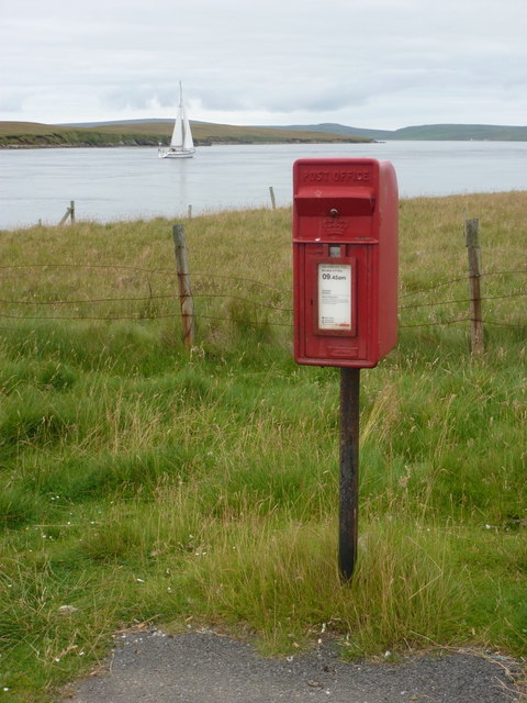
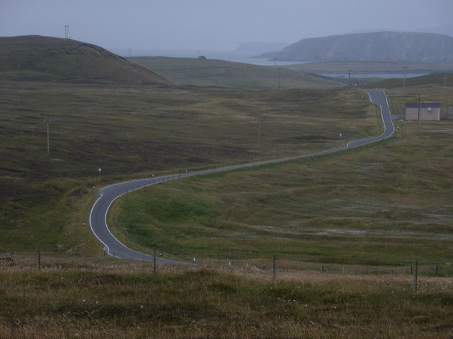
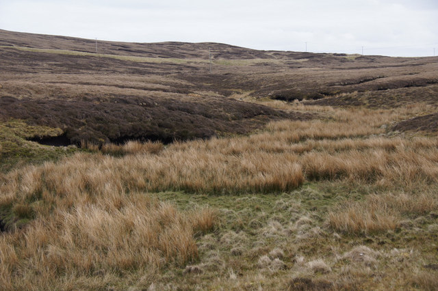
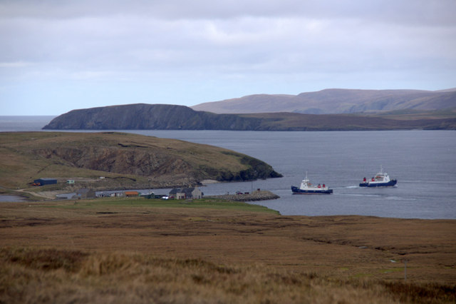
Wick of Gutcher, located in the picturesque Shetland Islands, is a charming bay and small settlement that offers visitors a glimpse into the natural beauty and rich cultural heritage of the region. Situated on the northwestern coast of the mainland, this idyllic bay is surrounded by rolling hills and dramatic cliffs, providing a stunning backdrop for any visitor.
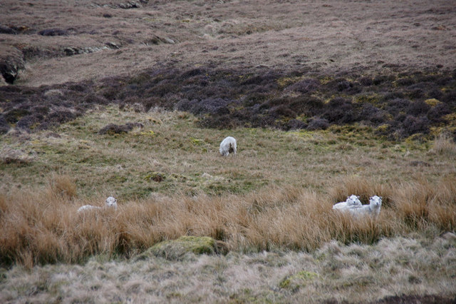
The bay itself is a haven for wildlife enthusiasts and nature lovers. It is home to a diverse range of bird species, including puffins, guillemots, and kittiwakes, making it a popular spot for birdwatching. Seals can often be seen lounging on the rocks, while otters playfully swim in the nearby waters.
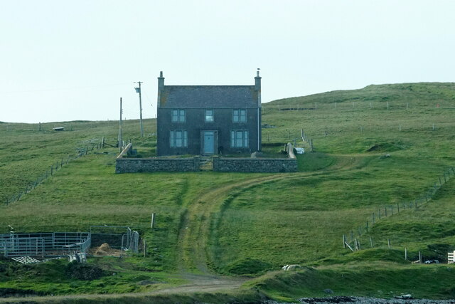
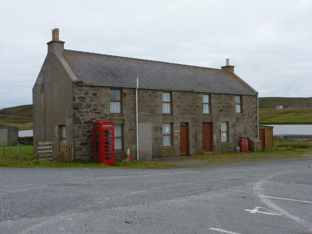
The settlement of Wick of Gutcher is a small community with a handful of traditional, charming cottages scattered around the bay. The area has a rich history, and visitors can explore the remnants of a 19th-century herring station, which was once a significant industry in the region. The bay was also an important trading post, with evidence of Viking settlements dating back over a thousand years.
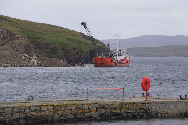
For those seeking outdoor adventures, Wick of Gutcher offers opportunities for hiking and walking along the nearby coastal paths. The bay is also a popular spot for sea kayaking and fishing, allowing visitors to experience the tranquility of the surrounding waters.
Overall, Wick of Gutcher is a hidden gem within the Shetland Islands, offering visitors a chance to immerse themselves in the natural beauty and cultural history of this remote and breathtaking location.
If you have any feedback on the listing, please let us know in the comments section below.
Wick of Gutcher Images
Images are sourced within 2km of 60.673893/-0.9968164 or Grid Reference HU5499. Thanks to Geograph Open Source API. All images are credited.
Wick of Gutcher is located at Grid Ref: HU5499 (Lat: 60.673893, Lng: -0.9968164)
Unitary Authority: Shetland Islands
Police Authority: Highlands and Islands
What 3 Words
///awoke.radiated.lofts. Near Gutcher, Shetland Islands
Nearby Locations
Related Wikis

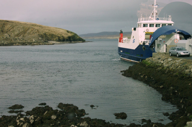
Gutcher
Gutcher is a settlement on the northeast coast of Yell in the Shetland islands. From here, rollon/roll off ferry services to Belmont on Unst and Hamars...

North Isles
The North Isles are the northern islands of the Shetland Islands, Scotland. The main islands in the group are Yell, Unst and Fetlar. Sometimes the islands...

Linga, Bluemull Sound
Linga is a very small uninhabited island in the Bluemull Sound, Shetland, Scotland. It is one of many islands in Shetland called Linga. It has an area...

Bluemull Sound
Bluemull Sound is the strait between Unst and Yell in Shetland's North Isles. A ferry service crosses it regularly. Cullivoe is on the Yell side, and the...

Belmont, Shetland
Belmont is a settlement and ferry terminal in southern Unst in the Shetland Islands. The ferry crosses from here to Gutcher in Yell and to Hamars Ness...
Belmont House, Shetland
Belmont House is a neo classical Georgian Country House Estate on the island of Unst, the most northerly of the Shetland Islands, [United Kingdom] and...

Cullivoe
Cullivoe (Old Norse: Kollavágr - Bay of Kolli), is a village on Yell in the Shetland Islands. It is in the north east of the island, near Bluemull Sound...

Burra Ness Broch
Burra Ness Broch is an iron-age broch located on the east coast of the island of Yell, Shetland, Scotland. == Location == Burra Ness Broch (grid reference...
Nearby Amenities
Located within 500m of 60.673893,-0.9968164Have you been to Wick of Gutcher?
Leave your review of Wick of Gutcher below (or comments, questions and feedback).