Head of Gutcher
Coastal Feature, Headland, Point in Shetland
Scotland
Head of Gutcher
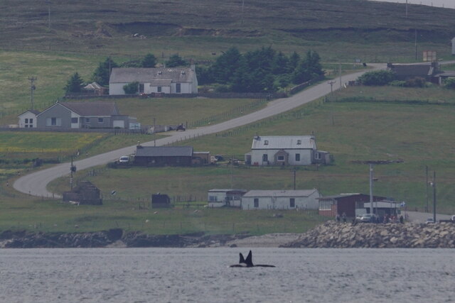
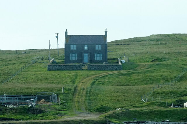
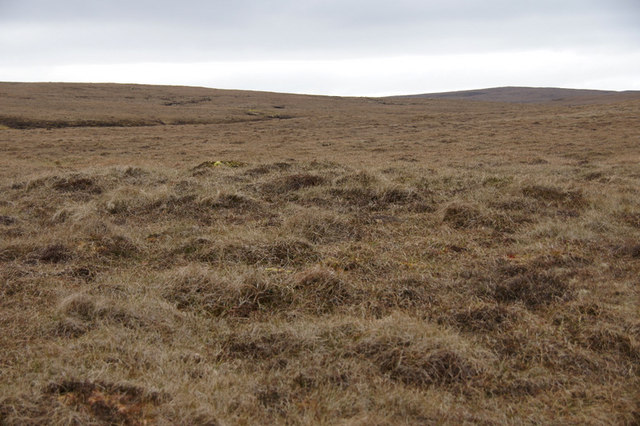
Head of Gutcher is a prominent coastal feature located in the northernmost part of the Shetland Islands, an archipelago in Scotland. Situated on the Mainland, the largest island in the group, it is a headland that juts out into the North Sea, offering breathtaking views of the surrounding rugged coastline.
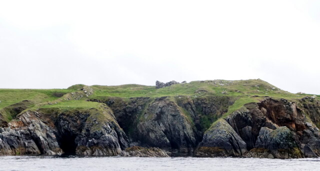
Rising to an elevation of approximately 30 meters (98 feet), Head of Gutcher boasts dramatic cliffs that are characteristic of the Shetland landscape. These cliffs are composed of sedimentary rocks, such as sandstone and shale, which have been shaped by centuries of erosion from wind and sea. The result is a striking, jagged coastline with fascinating geological formations.
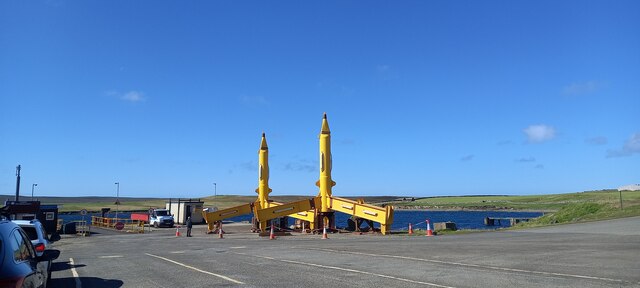
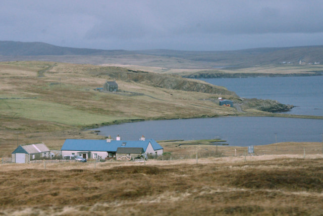
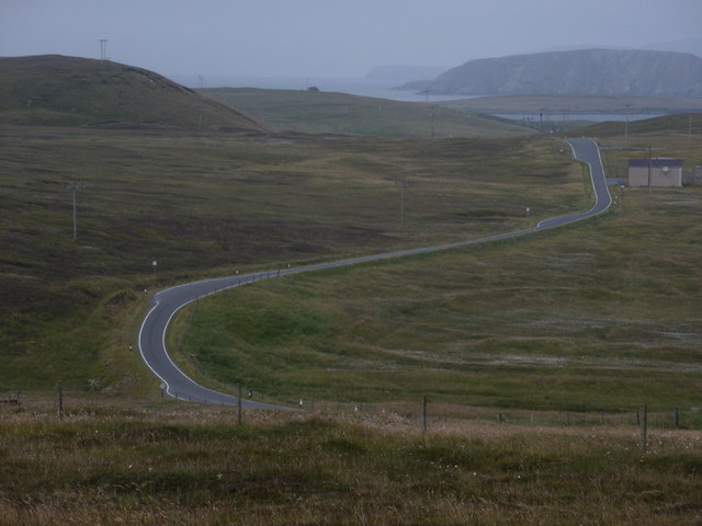
The headland is accessible by a narrow road that winds its way through the picturesque countryside of Shetland. At the tip of Head of Gutcher, there is a small parking area where visitors can leave their vehicles and take in the stunning panoramic views. On clear days, it is possible to see the neighboring islands of Yell and Unst, as well as the distant outline of the Norwegian coast.
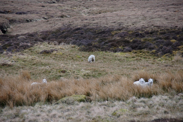
Head of Gutcher is also known for its rich wildlife. The cliffs provide nesting sites for numerous seabirds, including guillemots, puffins, and fulmars. Visitors may also spot seals and otters swimming in the waters surrounding the headland. The area is a popular spot for birdwatching and nature enthusiasts, who can enjoy peaceful walks along the coastal path while taking in the natural beauty of the Shetland Islands.
Overall, Head of Gutcher is a captivating coastal feature that showcases the raw and untamed beauty of the Shetland Islands. Its striking cliffs, stunning vistas, and abundant wildlife make it a must-visit destination for those exploring this remote and enchanting part of Scotland.
If you have any feedback on the listing, please let us know in the comments section below.
Head of Gutcher Images
Images are sourced within 2km of 60.678592/-0.99729255 or Grid Reference HU5499. Thanks to Geograph Open Source API. All images are credited.
Head of Gutcher is located at Grid Ref: HU5499 (Lat: 60.678592, Lng: -0.99729255)
Unitary Authority: Shetland Islands
Police Authority: Highlands and Islands
What 3 Words
///fast.rebounded.bricks. Near Gutcher, Shetland Islands
Nearby Locations
Related Wikis

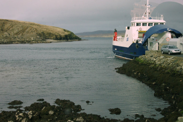
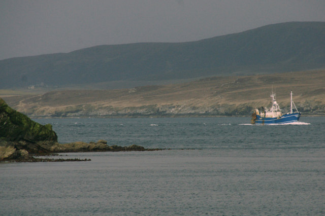
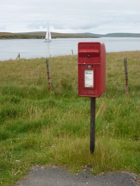
Bluemull Sound
Bluemull Sound is the strait between Unst and Yell in Shetland's North Isles. A ferry service crosses it regularly. Cullivoe is on the Yell side, and the...

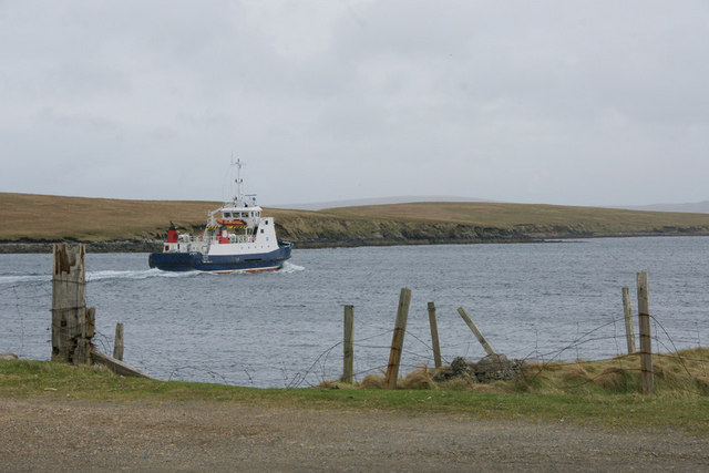
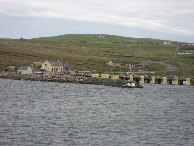
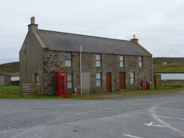
Gutcher
Gutcher is a settlement on the northeast coast of Yell in the Shetland islands. From here, rollon/roll off ferry services to Belmont on Unst and Hamars...

North Isles
The North Isles are the northern islands of the Shetland Islands, Scotland. The main islands in the group are Yell, Unst and Fetlar. Sometimes the islands...

Linga, Bluemull Sound
Linga is a very small uninhabited island in the Bluemull Sound, Shetland, Scotland. It is one of many islands in Shetland called Linga. It has an area...

Belmont, Shetland
Belmont is a settlement and ferry terminal in southern Unst in the Shetland Islands. The ferry crosses from here to Gutcher in Yell and to Hamars Ness...
Belmont House, Shetland
Belmont House is a neo classical Georgian Country House Estate on the island of Unst, the most northerly of the Shetland Islands, [United Kingdom] and...

Cullivoe
Cullivoe (Old Norse: Kollavágr - Bay of Kolli), is a village on Yell in the Shetland Islands. It is in the north east of the island, near Bluemull Sound...

Burra Ness Broch
Burra Ness Broch is an iron-age broch located on the east coast of the island of Yell, Shetland, Scotland. == Location == Burra Ness Broch (grid reference...
Nearby Amenities
Located within 500m of 60.678592,-0.99729255Have you been to Head of Gutcher?
Leave your review of Head of Gutcher below (or comments, questions and feedback).