Bay of Brough
Bay in Shetland
Scotland
Bay of Brough
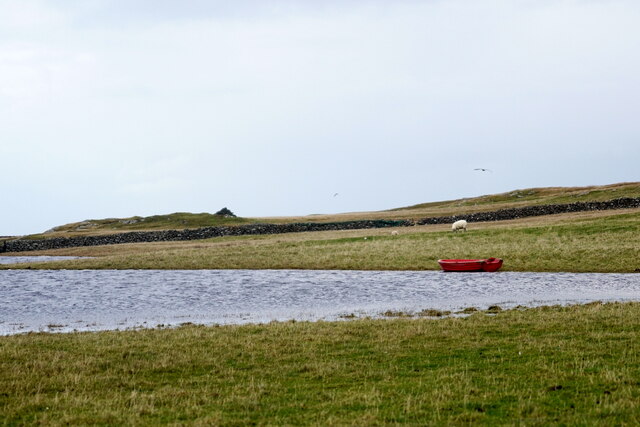
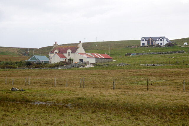
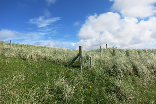
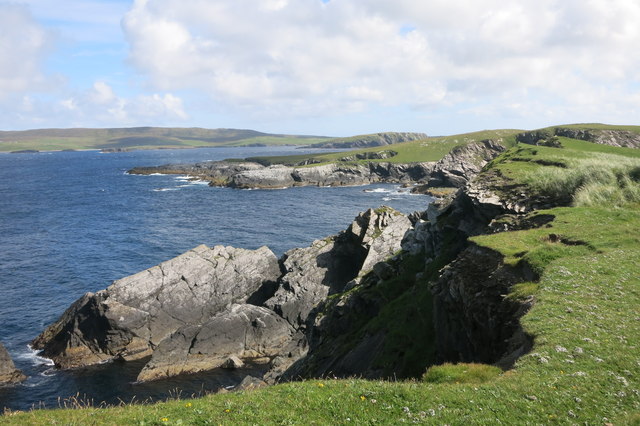
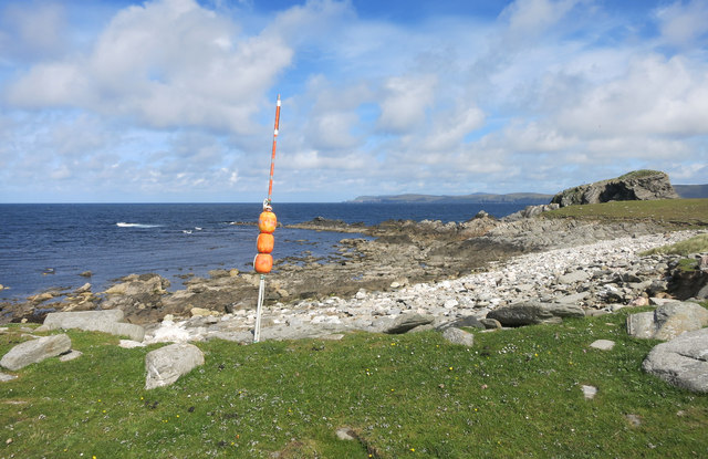
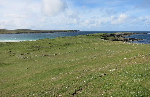
Bay of Brough is a picturesque and secluded bay located on the east coast of the Shetland Islands in Scotland. Nestled between the rugged cliffs and rolling green hills, this bay offers breathtaking natural beauty and tranquility.
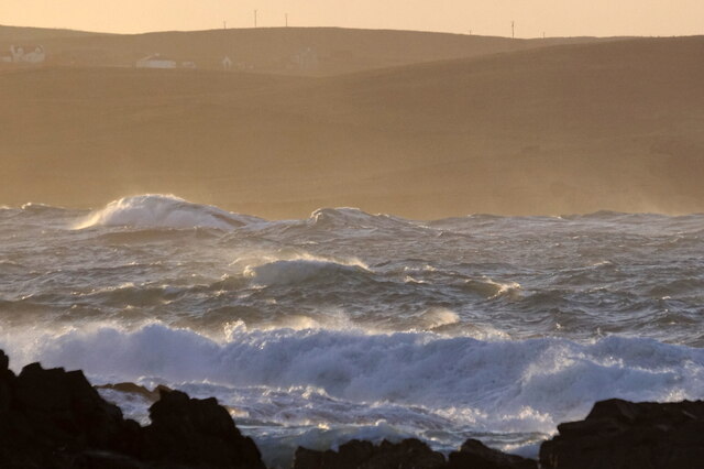
The bay is renowned for its stunning sandy beach, which stretches for approximately half a mile and is composed of fine golden sand. It is a popular spot for beachcombing, picnicking, and leisurely walks along the shore. The crystal-clear waters of the bay provide an excellent opportunity for swimming, paddling, and even snorkeling during the warmer months.
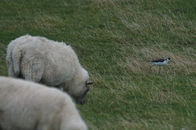
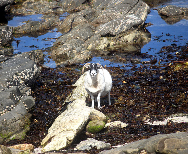
The surrounding cliffs, towering over 100 feet, provide a dramatic backdrop to the bay. They are home to a variety of seabirds, such as puffins, guillemots, and fulmars, making it a haven for birdwatchers and nature enthusiasts. Additionally, the bay is a favored spot for seals, which can often be seen basking on the rocks or swimming in the bay.
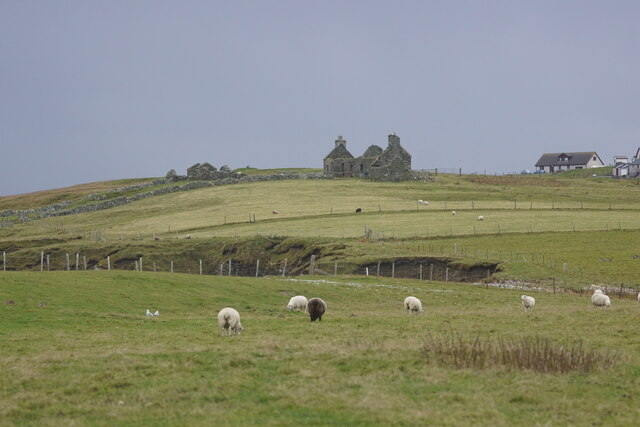
Visitors to Bay of Brough can also explore the nearby Brough Lodge, an impressive 18th-century house that stands on the edge of the bay. Despite being in ruins, the lodge showcases stunning architectural features and offers a glimpse into the area's historical past.
With its unspoiled natural beauty, abundant wildlife, and rich history, Bay of Brough is a must-visit destination for those seeking a peaceful and idyllic coastal experience in the Shetland Islands.
If you have any feedback on the listing, please let us know in the comments section below.
Bay of Brough Images
Images are sourced within 2km of 60.721643/-1.0114952 or Grid Reference HP5404. Thanks to Geograph Open Source API. All images are credited.


Bay of Brough is located at Grid Ref: HP5404 (Lat: 60.721643, Lng: -1.0114952)
Unitary Authority: Shetland Islands
Police Authority: Highlands and Islands
What 3 Words
///decoded.paradise.extensive. Near Gutcher, Shetland Islands
Nearby Locations
Related Wikis

Cullivoe
Cullivoe (Old Norse: Kollavágr - Bay of Kolli), is a village on Yell in the Shetland Islands. It is in the north east of the island, near Bluemull Sound...

St Olaf's Church, Unst
St Olaf's Church, Unst is a ruined medieval church located on the island of Unst, in Shetland, Scotland, UK. The church was built in the Celtic style,...

Brough Holm
Brough Holm is a small island off Unst, in the North Isles of Shetland. It is off Westing, which as the name implies is on the west coast of Unst. The...

Society of Our Lady of the Isles
The Society of Our Lady of the Isles (SOLI) is a small Anglican religious order for women, founded in the late 20th century. It is located in Shetland...

Gloup
Note: Gloup is common in Scottish placenames referring to a sea jet. Gloup is a village in the far north of the island of Yell in the Shetland Islands...
Bluemull Sound
Bluemull Sound is the strait between Unst and Yell in Shetland's North Isles. A ferry service crosses it regularly. Cullivoe is on the Yell side, and the...

Belmont House, Shetland
Belmont House is a neo classical Georgian Country House Estate on the island of Unst, the most northerly of the Shetland Islands, [United Kingdom] and...
Belmont, Shetland
Belmont is a settlement and ferry terminal in southern Unst in the Shetland Islands. The ferry crosses from here to Gutcher in Yell and to Hamars Ness...
Nearby Amenities
Located within 500m of 60.721643,-1.0114952Have you been to Bay of Brough?
Leave your review of Bay of Brough below (or comments, questions and feedback).