Sand Wick

Bay in Shetland

Scotland

Sand Wick

The Whalsay ferry, MV Linga, leaving Symbister pier Bound for Laxo on Shetland Mainland.
The Whalsay ferry, MV Linga, leaving Symbister pier Credit: David Purchase

Sand Wick is a picturesque bay located on the west coast of the Shetland Islands in Scotland. It is situated approximately 7 miles northwest of the main town of Lerwick. The bay is a popular tourist destination due to its stunning natural beauty and rich history.

The bay is characterized by its pristine sandy beach, which stretches for about half a mile along the coast. The sand is soft and golden, providing the perfect spot for sunbathing, picnicking, or taking leisurely walks. The crystal-clear waters of Sand Wick are also ideal for swimming, snorkeling, and other water activities.

Surrounded by rugged cliffs and rolling hills, Sand Wick offers breathtaking views of the surrounding landscape. The bay is home to a diverse range of wildlife, including seabirds, seals, and occasionally, dolphins and whales, making it a haven for nature enthusiasts and birdwatchers.

The area's history is also of great interest, with several archaeological sites nearby. The remains of a medieval chapel dedicated to St. Ninian can be found on the cliffs overlooking the bay, adding an element of intrigue and fascination to the area.

Access to Sand Wick is relatively easy, with a car park available for visitors. The bay also has basic facilities like public toilets and a small cafe nearby, ensuring a comfortable and enjoyable experience for all. Whether it's exploring the beach, admiring the wildlife, or immersing oneself in the history, Sand Wick offers a memorable experience for visitors to the Shetland Islands.

If you have any feedback on the listing, please let us know in the comments section below.
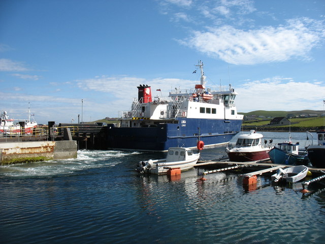
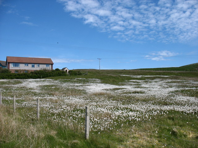
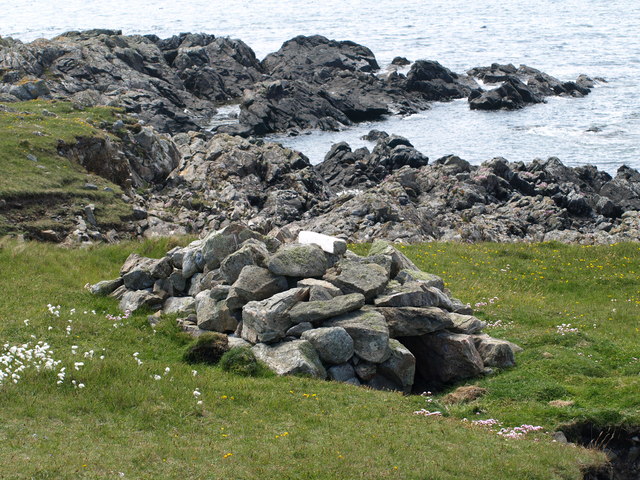
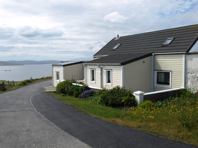
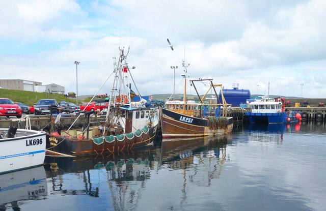
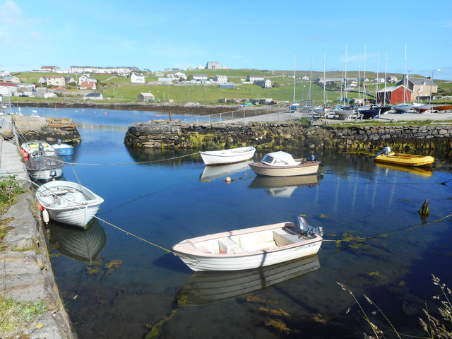
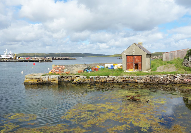
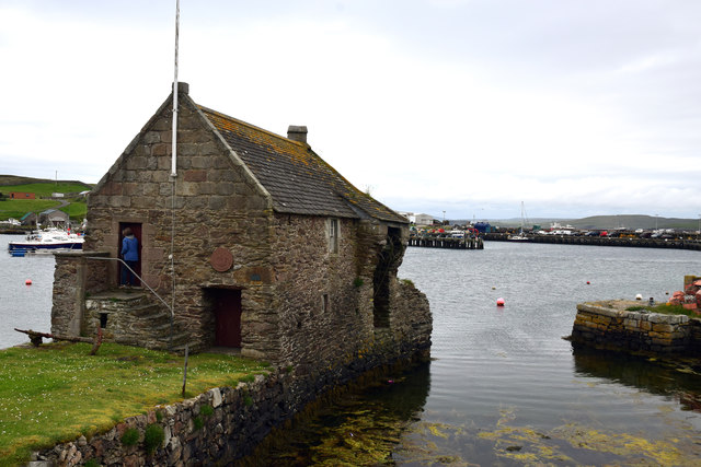
Sand Wick Images

Images are sourced within 2km of 60.332988/-1.0247354 or Grid Reference HU5361. Thanks to Geograph Open Source API. All images are credited.

The Whalsay ferry, MV Linga, leaving Symbister pier Bound for Laxo on Shetland Mainland.
The Whalsay ferry, MV Linga, leaving Symbister pier
Bound for Laxo on Shetland Mainland.
Southern Whalsay Looking from near the summit of Ward of Clett across to the uninhabited islet of East Linga in the distance.
Southern Whalsay
Looking from near the summit of Ward of Clett across to the uninhabited islet of East Linga in the distance.
The summit of Ward of Clett, Whalsay Well, this is what everyone would think is the summit. But the purists maintain that the true highest point is a little way to the north-east, at HU55046148.
The summit of Ward of Clett, Whalsay
Well, this is what everyone would think is the summit. But the purists maintain that the true highest point is a little way to the north-east, at HU55046148.
Descending to Clate On the way down from Ward of Clett, the highest point on Whalsay.
Descending to Clate
On the way down from Ward of Clett, the highest point on Whalsay.
Loch of Huxter, Whalsay One of four lochs on Whalsay of similar size. I would estimate that this is the largest.
Loch of Huxter, Whalsay
One of four lochs on Whalsay of similar size. I would estimate that this is the largest.
A field at Marrister, Whalsay Daisies in profusion.
A field at Marrister, Whalsay
Daisies in profusion.
North Voe, Symbister, Whalsay Is there a South Voe? Not on the map, but I could well imagine that the harbour where the ferry from Mainland comes in has this name.
North Voe, Symbister, Whalsay
Is there a South Voe? Not on the map, but I could well imagine that the harbour where the ferry from Mainland comes in has this name.
Otter House An Otter House, Point of Gruid, Symbister Ness, Whalsay.
Otter House
An Otter House, Point of Gruid, Symbister Ness, Whalsay.
A Cottage A Cottage at the turning space, Clate, Whalsay
A Cottage
A Cottage at the turning space, Clate, Whalsay
Rocks and Old Iron, Loch of Huxter A beautiful small loch near Symbister. The thing on the rock looks like part of an old stove.
Rocks and Old Iron, Loch of Huxter
A beautiful small loch near Symbister. The thing on the rock looks like part of an old stove.
Whalsay Leisure Centre
View at Symbister The eastern part of Symbister. Sodom, according to the map.
View at Symbister
The eastern part of Symbister. Sodom, according to the map.
Pier House Museum, Symbister Whalsay's most photographed building. The museum details Shetland's connections with the Hanseatic League, from a time when trade links with Europe didn't generate so much hot air. <span class="nowrap"><a title="https://en.wikipedia.org/wiki/Pier_House_Museum" rel="nofollow ugc noopener" href="https://en.wikipedia.org/wiki/Pier_House_Museum">Link</a><img style="margin-left:2px;" alt="External link" title="External link - shift click to open in new window" src="https://s1.geograph.org.uk/img/external.png" width="10" height="10"/></span>
Pier House Museum, Symbister
Whalsay's most photographed building. The museum details Shetland's connections with the Hanseatic League, from a time when trade links with Europe didn't generate so much hot air. LinkExternal link
Fishing Boats, Symbister
Symbister House A mansion built in 1823 for the owners of Whalsay, the Bruce family. According to this article <span class="nowrap"><a title="https://en.wikipedia.org/wiki/Symbister_House" rel="nofollow ugc noopener" href="https://en.wikipedia.org/wiki/Symbister_House">Link</a><img style="margin-left:2px;" alt="External link" title="External link - shift click to open in new window" src="https://s1.geograph.org.uk/img/external.png" width="10" height="10"/></span> they were an obnoxious bunch.
The house is now used by Whalsay secondary school.
Symbister House
A mansion built in 1823 for the owners of Whalsay, the Bruce family. According to this article LinkExternal link they were an obnoxious bunch. The house is now used by Whalsay secondary school.
Small Boat Harbour, Symbister In a corner of the main harbour is an inner haven for small craft.
Small Boat Harbour, Symbister
In a corner of the main harbour is an inner haven for small craft.
The Next Hut Along I am standing beside the historic and much photographed Pier House Museum looking towards a similar location just a short distance away which also features a building on a small stone pier. The scene is somewhat less picturesque.
The Next Hut Along
I am standing beside the historic and much photographed Pier House Museum looking towards a similar location just a short distance away which also features a building on a small stone pier. The scene is somewhat less picturesque.
Pier House Museum, Symbister, Whalsay, Shetland The Pier House was formerly a trading post for the Hanseatic League
Pier House Museum, Symbister, Whalsay, Shetland
The Pier House was formerly a trading post for the Hanseatic League
Show me another place!

Sand Wick is located at Grid Ref: HU5361 (Lat: 60.332988, Lng: -1.0247354)

Unitary Authority: Shetland Islands

Police Authority: Highlands and Islands

What 3 Words

///corrupted.foil.stormy. Near Symbister, Shetland Islands

Related Wikis

Clate

Clate (also known as Clett) is a hamlet and ward in southwestern Whalsay in the parish of Nesting in the Shetland Islands of Scotland. == Geography... ==

Holm of Sandwick

The Holm of Sandwick is an islet, located roughly 100 metres (330 ft) off Haa Ness and the southwestern side of Whalsay, in the Shetland Islands of Scotland...

Sandwick, Whalsay

Sandwick is a hamlet, often considered part of the main village of Symbister along with adjacent Harlsdale, in the parish of Nesting in southwestern Whalsay...

Symbister House

Symbister House is a former country house in Symbister, Whalsay island, in the Shetland islands of Scotland. It was built in 1823 by the Bruce family who...

Symbister

Symbister is the largest village and port on Whalsay, an island in the Shetland archipelago of Scotland. The population in 1991 was 797. The focus of the...

Pier House Museum

The Pier House Museum is a museum in Symbister, Whalsay, in the Shetland Islands of Scotland. The museum is located in the old Pier House, which was once...

Sodom, Shetland

Sodom (known locally as Sudheim) is a settlement on Whalsay, Shetland. The name is a corruption of the Old Norse SuĂ°heim meaning "south home". It was formerly...

Saltness

Saltness is a hamlet in southwestern Whalsay in the parish of Nesting in the Shetland Islands of Scotland. It lies in the northern part of Symbister, just...

Nearby Amenities

Located within 500m of 60.332988,-1.0247354
Sandwick
Is In: Shetland
Place: hamlet
Source: OS OpenData StreetView
Lat/Long: 60.3355299/-1.0207787
Barrier: cattle_grid
Lat/Long: 60.3364565/-1.0228863
Power: pole
Lat/Long: 60.3344258/-1.0165844
Power: pole
Lat/Long: 60.3348682/-1.0173263
Power: pole
Lat/Long: 60.3353306/-1.0181062
Power: pole
Lat/Long: 60.3357479/-1.0188253
Power: pole
Lat/Long: 60.3362316/-1.019633
Power: pole
Lat/Long: 60.334377/-1.01702
Power: pole
Lat/Long: 60.3357128/-1.0191722
The data included in this document is from www.openstreetmap.org. The data is made available under ODbL.

Have you been to Sand Wick?

Leave your review of Sand Wick below (or comments, questions and feedback).