Hellabrik's Wick
Bay in Shetland
Scotland
Hellabrik's Wick
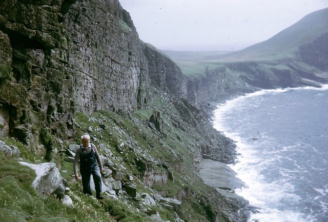
Hellabrik's Wick is a picturesque bay located on the southern coast of the Shetland Islands, Scotland. With its stunning natural beauty and tranquil atmosphere, it has become a popular destination for tourists and locals alike. The bay is nestled between rugged cliffs and is known for its crystal-clear turquoise waters, which are perfect for swimming and snorkeling during the summer months.
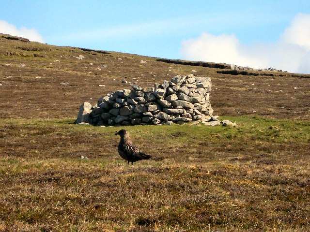
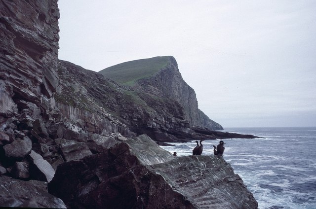
Hellabrik's Wick offers visitors a unique opportunity to experience the unspoiled natural beauty of the Shetland Islands. The bay is home to a diverse range of marine life, including seals, otters, and a variety of seabirds, making it a haven for wildlife enthusiasts and birdwatchers.
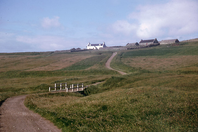
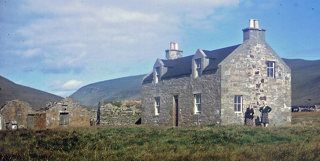
The surrounding landscape is characterized by rolling green hills and dramatic cliffs, providing breathtaking panoramic views of the bay. The area is also rich in archaeological history, with several ancient ruins and burial sites scattered throughout the vicinity.
For those seeking outdoor activities, Hellabrik's Wick offers excellent opportunities for hiking, with scenic coastal trails that lead to hidden coves and secluded beaches. Fishing is also popular in the area, with various species of fish found in the bay's waters.
Visitors to Hellabrik's Wick can enjoy the peace and serenity of this idyllic bay, while immersing themselves in the natural wonders of the Shetland Islands. Whether it's exploring the coastline, observing wildlife, or simply relaxing on the sandy shores, Hellabrik's Wick promises an unforgettable experience for nature lovers and adventure seekers.
If you have any feedback on the listing, please let us know in the comments section below.
Hellabrik's Wick Images
Images are sourced within 2km of 60.115215/-2.0749341 or Grid Reference HT9536. Thanks to Geograph Open Source API. All images are credited.


Hellabrik's Wick is located at Grid Ref: HT9536 (Lat: 60.115215, Lng: -2.0749341)
Unitary Authority: Shetland Islands
Police Authority: Highlands and Islands
What 3 Words
///demotion.plunge.ditching. Near Walls, Shetland Islands
Nearby Locations
Related Wikis

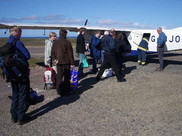
Foula Airfield
Foula Airfield (IATA: FOA) is an airfield located on the remote island of Foula, part of the Shetland Islands in the north of Scotland. == History == The...

Foula
Foula (), located in the Shetland archipelago of Scotland, is one of the United Kingdom's most remote permanently inhabited islands. Owned since the turn...

RMS Oceanic (1899)
RMS Oceanic was a transatlantic ocean liner built for the White Star Line. She sailed on her maiden voyage on 6 September 1899 and was the largest ship...
Nearby Amenities
Located within 500m of 60.115215,-2.0749341Have you been to Hellabrik's Wick?
Leave your review of Hellabrik's Wick below (or comments, questions and feedback).