Bay of Lopness

Bay in Orkney

Scotland

Bay of Lopness

B9069 passing Sanday Golf Club
B9069 passing Sanday Golf Club Credit: Alpin Stewart

The Bay of Lopness is a picturesque coastal area located in the Orkney Islands, Scotland. Situated on the northeastern coast of the island of Sanday, the bay is renowned for its natural beauty and diverse wildlife.

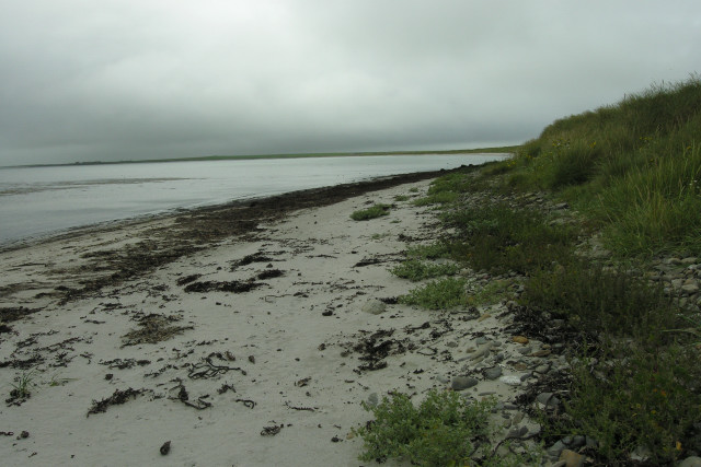
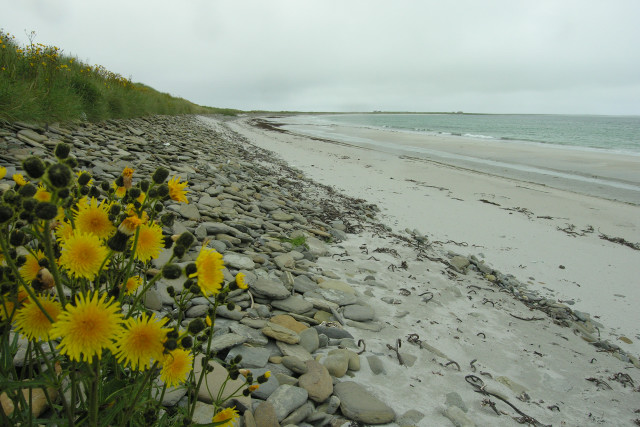
Stretching over a mile, the Bay of Lopness boasts pristine sandy beaches that are ideal for leisurely walks, sunbathing, and picnicking. The crystal-clear waters of the bay offer visitors the opportunity to engage in various water activities such as swimming, kayaking, and windsurfing.

The bay is also home to an abundance of wildlife, making it a popular spot for nature enthusiasts. Seals can often be spotted basking on the rocky shores, while seabirds such as puffins, guillemots, and kittiwakes nest in the cliffs surrounding the bay. The area is also known for its rich marine life, with dolphins and porpoises occasionally seen swimming offshore.

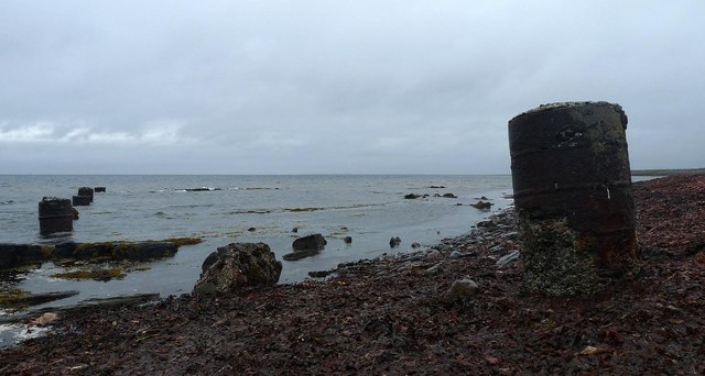
History enthusiasts will find interest in the Bay of Lopness as well, as it is home to several archaeological sites. The most notable is the Tresness Chambered Tomb, a Neolithic burial chamber that dates back thousands of years. This ancient structure provides a glimpse into the island's prehistoric past and is a fascinating attraction for visitors.

Overall, the Bay of Lopness offers a tranquil and captivating experience for those seeking natural beauty, wildlife encounters, and a glimpse into Orkney's intriguing history.

If you have any feedback on the listing, please let us know in the comments section below.

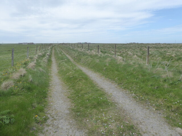
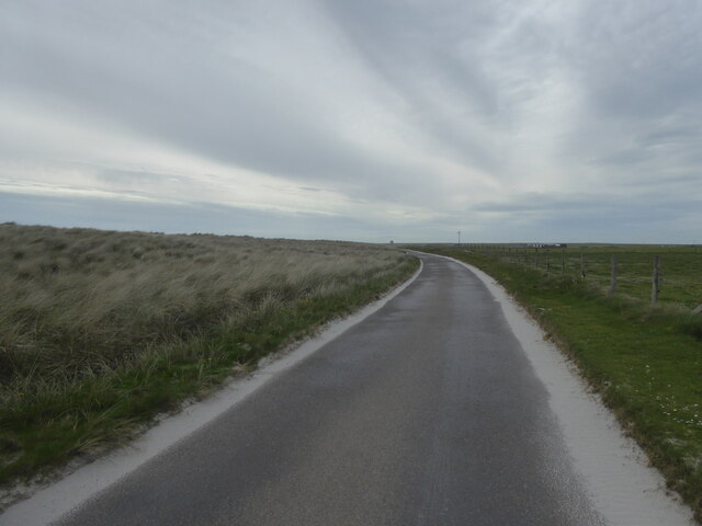
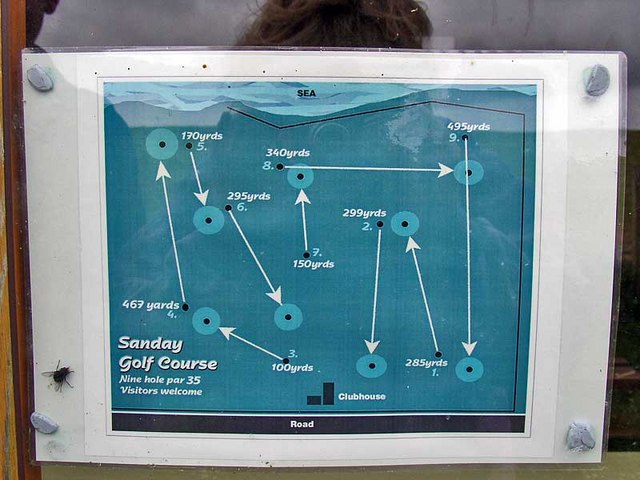
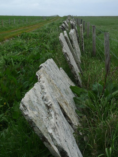
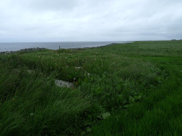
Bay of Lopness Images

Images are sourced within 2km of 59.26741/-2.4829861 or Grid Reference HY7242. Thanks to Geograph Open Source API. All images are credited.

B9069 passing Sanday Golf Club
B9069 approaching Newark Cottages, Sanday
Ruin at Newark, Sanday
Track at Sellibister, Sanday
B9069 by Bay of Lopness, Sanday
Farm of Cruddy In Lady Parish
Farm of Cruddy
In Lady Parish
Sanday Golf Club Taken from the B9069 by The Plain of Fidge, and featuring Sanday's 9 Hole links Golf Course. Genuinely the only feature of this grid square, not counting the cows that is.
Sanday Golf Club
Taken from the B9069 by The Plain of Fidge, and featuring Sanday's 9 Hole links Golf Course. Genuinely the only feature of this grid square, not counting the cows that is.
Course map Supplemental info: the map of the course, in the clubhouse window
Course map
Supplemental info: the map of the course, in the clubhouse window
Looking South West across the Bay of Lopness, Sanday Looking across the shallow Bay of Lopness with Long Taing of Newark in the distance.
Looking South West across the Bay of Lopness, Sanday
Looking across the shallow Bay of Lopness with Long Taing of Newark in the distance.
Looking South to Long Taing of Newark, Sanday The shallow bays of Bay of Lopness and Bay of Newark meet at this rocky headland.
Looking South to Long Taing of Newark, Sanday
The shallow bays of Bay of Lopness and Bay of Newark meet at this rocky headland.
Shore detail, Bay of Lopness, Sanday Shell sand gives way to flat sandstone cobbles along the shoreline of the Bay of Lopness.
Shore detail, Bay of Lopness, Sanday
Shell sand gives way to flat sandstone cobbles along the shoreline of the Bay of Lopness.
Milestone near Newark, Sanday, Orkney K is for Kettletoft.
Milestone near Newark, Sanday, Orkney
K is for Kettletoft.
Crossing the Plain of Fidge It's eight am on a January morning and I'm making my way home.
Crossing the Plain of Fidge
It's eight am on a January morning and I'm making my way home.
Butter Knowe burnt mound, Sanday, Orkney Looking towards the farm at Crudy.

The mound is formed of burnt stones and is approximately 14m in diameter (ref <span class="nowrap"><a title="http://canmore.rcahms.gov.uk/en/site/3622/details/sanday+butter+knowe/" rel="nofollow ugc noopener" href="http://canmore.rcahms.gov.uk/en/site/3622/details/sanday+butter+knowe/">Link</a><img style="margin-left:2px;" alt="External link" title="External link - shift click to open in new window" src="https://s1.geograph.org.uk/img/external.png" width="10" height="10"/></span> ).
Butter Knowe burnt mound, Sanday, Orkney
Looking towards the farm at Crudy. The mound is formed of burnt stones and is approximately 14m in diameter (ref LinkExternal link ).
Coastline near Seater, Sanday, Orkney The seaweed is extensive here.  There are remains of kelp workings nearby.

I'm not sure what the pillars are, but I saw similar ones elsewhere on the island carrying sewage pipes into the sea.
Coastline near Seater, Sanday, Orkney
The seaweed is extensive here. There are remains of kelp workings nearby. I'm not sure what the pillars are, but I saw similar ones elsewhere on the island carrying sewage pipes into the sea.
Stone dyke and farm track near Sellibister, Sanday, Orkney The track is an extension of the minor road which ends at Cleat and can be followed to the B9069.
Stone dyke and farm track near Sellibister, Sanday, Orkney
The track is an extension of the minor road which ends at Cleat and can be followed to the B9069.
Mound near Sellibister, Sanday, Orkney The derelict farm at Seater can be seen on the far right horizon.

This is the site of a chapel, Peterkirk, which was built on a prehistoric site, possibly a broch (ref <span class="nowrap"><a title="http://canmore.rcahms.gov.uk/en/site/3626/details/sanday+peterkirk/" rel="nofollow ugc noopener" href="http://canmore.rcahms.gov.uk/en/site/3626/details/sanday+peterkirk/">Link</a><img style="margin-left:2px;" alt="External link" title="External link - shift click to open in new window" src="https://s1.geograph.org.uk/img/external.png" width="10" height="10"/></span> ).
Mound near Sellibister, Sanday, Orkney
The derelict farm at Seater can be seen on the far right horizon. This is the site of a chapel, Peterkirk, which was built on a prehistoric site, possibly a broch (ref LinkExternal link ).
Rockpool below Newark, Sanday, Orkney The fields of Newark Farm are above this stretch of coastline.
Rockpool below Newark, Sanday, Orkney
The fields of Newark Farm are above this stretch of coastline.
Show me another place!

Bay of Lopness is located at Grid Ref: HY7242 (Lat: 59.26741, Lng: -2.4829861)

Unitary Authority: Orkney Islands

Police Authority: Highlands and Islands

What 3 Words

///carefully.point.power. Near Kettletoft, Orkney Islands

Related Wikis

East Sanday Coast

The East Sanday Coast is a protected wetland area on and around the island of Sanday, the third-largest of the Orkney islands off the north coast of Scotland...

Sanday, Orkney

Sanday (, Scots: Sandee) is one of the inhabited islands of Orkney that lies off the north coast of mainland Scotland. With an area of 50.43 km2 (19.5...

Sanday Airport

Sanday Airport (IATA: NDY, ICAO: EGES) is located 20 NM (37 km; 23 mi) north northeast of Kirkwall Airport on Sanday, Orkney Islands, Scotland. Sanday...

Scar boat burial

The Scar boat burial is a Viking boat burial near the village of Scar, on Sanday, in Orkney, Scotland. The burial, which dates to between 875 and 950 AD...

Nearby Amenities

Located within 500m of 59.26741,-2.4829861
Passing Place
Lat/Long: 59.2664244/-2.4899014
Power: pole
Lat/Long: 59.2664587/-2.4902337
The data included in this document is from www.openstreetmap.org. The data is made available under ODbL.

Have you been to Bay of Lopness?

Leave your review of Bay of Lopness below (or comments, questions and feedback).