Bennidusty Bay
Bay in Banffshire
Scotland
Bennidusty Bay

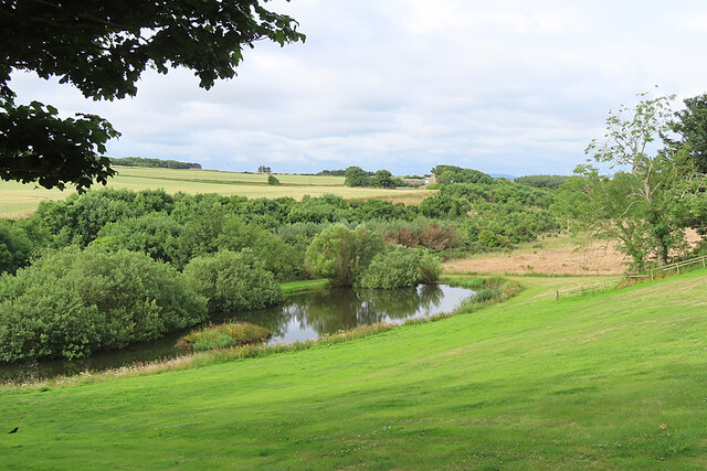
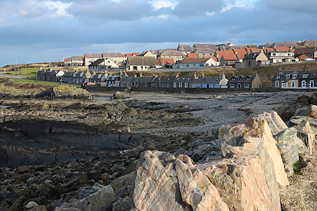
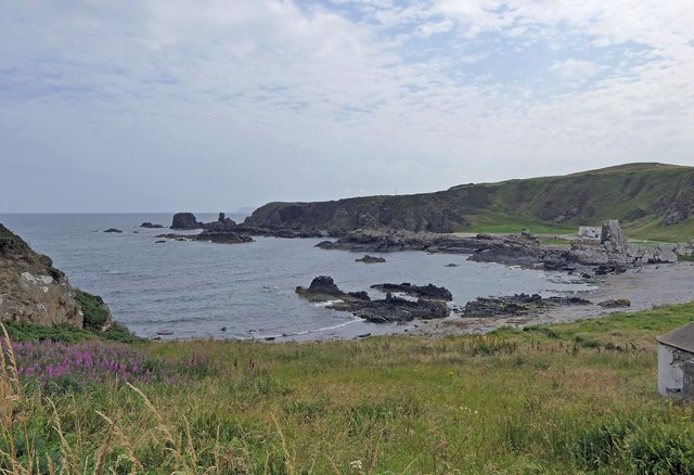
Bennidusty Bay is a picturesque coastal area located in Banffshire, Scotland. Situated along the northeastern coast of the country, the bay is renowned for its natural beauty and tranquil atmosphere. With its pristine sandy beaches, rugged cliffs, and stunning views of the North Sea, it has become a popular destination for both locals and tourists seeking a peaceful retreat.
The bay is characterized by its golden sands, which stretch for several miles and provide ample space for beachgoers to relax and enjoy the sun. The clear blue waters of the North Sea are ideal for swimming, and the bay is a favorite spot for water sports enthusiasts, offering opportunities for activities such as kayaking, paddleboarding, and sailing.
Surrounding the bay, visitors can take in the breathtaking scenery of the Banffshire coastline. Towering cliffs provide a dramatic backdrop, while the rolling hills and green pastures add to the area's charm. The bay is also home to a diverse range of wildlife, including seabirds and seals, making it a haven for nature lovers and birdwatchers.
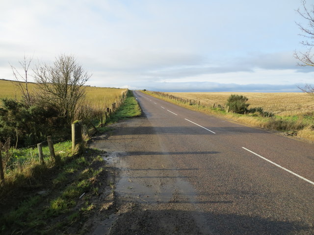
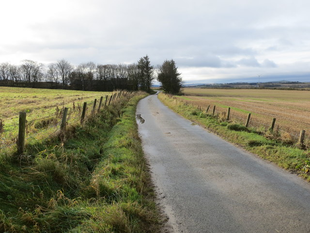
Bennidusty Bay is easily accessible, with a well-maintained road leading to the area. There are also parking facilities available for visitors. Nearby, there are several amenities, including cafes, restaurants, and accommodations, ensuring that visitors have everything they need for a comfortable and enjoyable stay.
Overall, Bennidusty Bay offers a tranquil and idyllic setting, perfect for those seeking a peaceful escape in the heart of nature. Whether it is lounging on the beach, exploring the coastal landscape, or simply enjoying the serenity of the surroundings, the bay provides a memorable experience for all who visit.
If you have any feedback on the listing, please let us know in the comments section below.
Bennidusty Bay Images
Images are sourced within 2km of 57.671712/-2.457634 or Grid Reference NJ7264. Thanks to Geograph Open Source API. All images are credited.


Bennidusty Bay is located at Grid Ref: NJ7264 (Lat: 57.671712, Lng: -2.457634)
Unitary Authority: Aberdeenshire
Police Authority: North East
What 3 Words
///onions.minder.hazy. Near Macduff, Aberdeenshire
Nearby Locations
Related Wikis

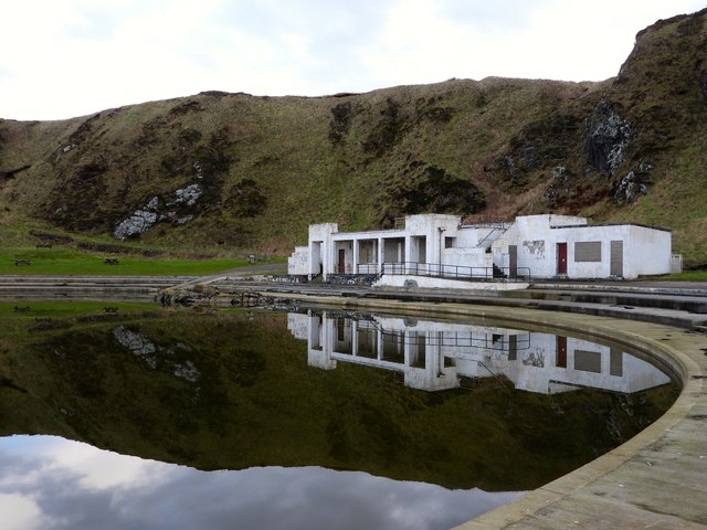
Tarlair Swimming Pool
Tarlair Swimming Pool is a disused lido at the base of a sea cliff just outside Macduff in Aberdeenshire in Scotland. This outdoor swimming complex was...

A98 road
The A98 road is a major coastal road of northeast Scotland passing through Moray and Aberdeenshire. The A98 is no longer a primary route, with this status...

Burn of Myrehouse
The Burn of Myrehouse is a coastal stream in Aberdeenshire in northeast Scotland, the lower section of which, Getty Burn is a right bank tributary of River...

Macduff Marine Aquarium
Macduff Marine Aquarium is an aquarium in Macduff, Scotland. == History == Macduff Marine Aquarium opened in 1997.In 2017, the aquarium closed to allow...
Deveronside F.C.
Deveronside Junior Football Club are a Scottish football club from the town of Banff. Members of the Scottish Junior Football Association, they currently...

Macduff Lifeboat Station
Macduff Lifeboat Station is a Royal National Lifeboat Institution (RNLI) marine-rescue facility in Macduff, Aberdeenshire, Scotland, United Kingdom. The...

Macduff, Aberdeenshire
Macduff (Scottish Gaelic: An Dùn) is a town in the Banff and Buchan area of Aberdeenshire, Scotland. It is situated on Banff Bay and faces the town of...

Macduff Town Hall
Macduff Town Hall is a municipal building in Shore Street, Macduff, Aberdeenshire, Scotland. The structure, which was the meeting place of Macduff Burgh...
Nearby Amenities
Located within 500m of 57.671712,-2.457634Have you been to Bennidusty Bay?
Leave your review of Bennidusty Bay below (or comments, questions and feedback).