Cleaved Head

Coastal Feature, Headland, Point in Banffshire

Scotland

Cleaved Head

Mouse-ear Hawkweed Hawkweeds, Hawksbeards and Hawkbits all have dandelion-like flowers and are notoriously difficult to tell apart. This is the exception, instantly recognisable because its flowers are lemon-yellow, while all the others are more canary-yellow.
Mouse-ear Hawkweed Credit: Anne Burgess

Cleaved Head is a prominent coastal feature located in Banffshire, Scotland. It is a headland or point that extends into the North Sea, offering stunning panoramic views of the surrounding area.

Rising approximately 50 meters above sea level, Cleaved Head is characterized by its rugged cliffs and rocky terrain. The headland is composed of sedimentary rocks, including sandstone and shale, which have been shaped by the relentless force of the waves over time. These cliffs provide a nesting site for various seabirds, including guillemots, puffins, and razorbills, making it a popular spot for birdwatching enthusiasts.

The headland is accessible via a narrow footpath that winds its way along the coastline, offering hikers an opportunity to explore the area and appreciate its natural beauty up close. At low tide, it is even possible to walk around the base of Cleaved Head and discover the many rock pools that are home to a diverse range of marine life.

Cleaved Head is also known for its rich history. It is believed to have been a strategic location during ancient times, with archaeological evidence suggesting human activity in the area dating back thousands of years. There are remnants of ancient settlements and burial sites nearby, adding to the allure of this coastal feature.

Overall, Cleaved Head in Banffshire is a captivating headland that combines breathtaking natural scenery with a rich cultural heritage. Whether it is for its stunning views, diverse wildlife, or historical significance, it is a destination that appeals to a wide range of visitors.

If you have any feedback on the listing, please let us know in the comments section below.
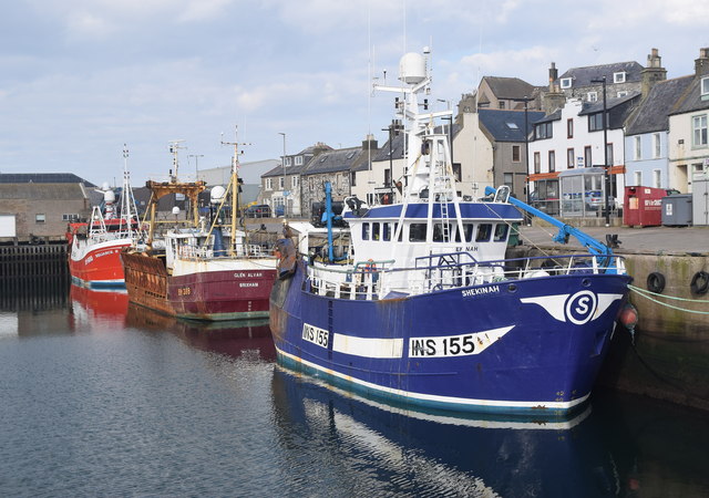
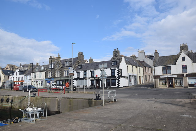
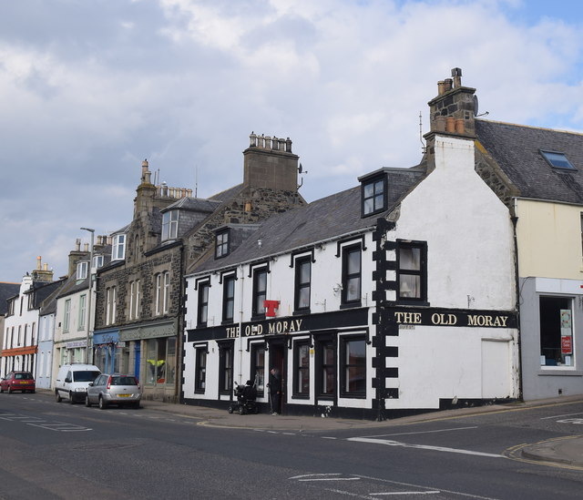
Cleaved Head Images

Images are sourced within 2km of 57.672085/-2.4662389 or Grid Reference NJ7264. Thanks to Geograph Open Source API. All images are credited.

Mouse-ear Hawkweed Hawkweeds, Hawksbeards and Hawkbits all have dandelion-like flowers and are notoriously difficult to tell apart. This is the exception, instantly recognisable because its flowers are lemon-yellow, while all the others are more canary-yellow.
Mouse-ear Hawkweed
Hawkweeds, Hawksbeards and Hawkbits all have dandelion-like flowers and are notoriously difficult to tell apart. This is the exception, instantly recognisable because its flowers are lemon-yellow, while all the others are more canary-yellow.
Loch Craig In the foreground is the sea wall of the Tarlair open-air swimming pool. Loch craig is the sea inlet offshore. The ship is Petronordic, port of registry Nassau, which is a shuttle tanker, gross tonnage 54865.
Loch Craig
In the foreground is the sea wall of the Tarlair open-air swimming pool. Loch craig is the sea inlet offshore. The ship is Petronordic, port of registry Nassau, which is a shuttle tanker, gross tonnage 54865.
House Martin (Delichon urbica) There are half a dozen nests under the roof of the pavilion at the Tarlair swimming pool. Note the bird sitting in this nest, presumably incubating eggs.
House Martin (Delichon urbica)
There are half a dozen nests under the roof of the pavilion at the Tarlair swimming pool. Note the bird sitting in this nest, presumably incubating eggs.
Tarlair Lido, 2022 The monochrome emphasises the current state of disrepair of the pavilion, but that is set to change, as funding has been secured and listed building consent given for its refurbishment starting in 2022.
The Friends of Tarlair <span class="nowrap"><a title="http://friendsoftarlair.co.uk/" rel="nofollow ugc noopener" href="http://friendsoftarlair.co.uk/">Link</a><img style="margin-left:2px;" alt="External link" title="External link - shift click to open in new window" src="https://s1.geograph.org.uk/img/external.png" width="10" height="10"/></span> are working towards making this a vibrant leisure destination once again. The Category A Listed facility deserves nothing less.
Tarlair Lido, 2022
The monochrome emphasises the current state of disrepair of the pavilion, but that is set to change, as funding has been secured and listed building consent given for its refurbishment starting in 2022. The Friends of Tarlair LinkExternal link are working towards making this a vibrant leisure destination once again. The Category A Listed facility deserves nothing less.
Natural sloping slabs at Tarlair At the entrance to the lido.
Natural sloping slabs at Tarlair
At the entrance to the lido.
The road to Tarlair Looking towards Macduff. The building to the right of the road is the Well of Tarlair. It dates from c.1800. The chalybeate waters enjoyed considerable popularity for their medicinal and health giving properties in the NE during the 18th and 19th centuries.
The road to Tarlair
Looking towards Macduff. The building to the right of the road is the Well of Tarlair. It dates from c.1800. The chalybeate waters enjoyed considerable popularity for their medicinal and health giving properties in the NE during the 18th and 19th centuries.
Threading the needle View through the naatural arch known locally as the Needle's Eye
Threading the needle
View through the naatural arch known locally as the Needle's Eye
Tarlair Lido - the swimming pool The lowest of the three pools. The terraces were restored in 2014, and restoration of the pavilion is due to commence in 2022.
Tarlair Lido - the swimming pool
The lowest of the three pools. The terraces were restored in 2014, and restoration of the pavilion is due to commence in 2022.
Tarlair Lido, the three pools Nearest, surrounded by the narrow wall was a paddling pool, the next area being a boating pool with the main swimming pool furthest away. The surrounds of the pools were restored in 2014. The complex Listed Category A.
Tarlair Lido, the three pools
Nearest, surrounded by the narrow wall was a paddling pool, the next area being a boating pool with the main swimming pool furthest away. The surrounds of the pools were restored in 2014. The complex Listed Category A.
Tarlair Lido, view from the east Compare with this view of the lido in its heyday <span class="nowrap"><a title="http://friendsoftarlair.co.uk/welcome-to-friends-of-tarlair/about-us/" rel="nofollow ugc noopener" href="http://friendsoftarlair.co.uk/welcome-to-friends-of-tarlair/about-us/">Link</a><img style="margin-left:2px;" alt="External link" title="External link - shift click to open in new window" src="https://s1.geograph.org.uk/img/external.png" width="10" height="10"/></span>

Restoration of the pavilion is due to start in 2022. Listed Category A.
Tarlair Lido, view from the east
Compare with this view of the lido in its heyday LinkExternal link Restoration of the pavilion is due to start in 2022. Listed Category A.
Rock fall at near Tarlair
Macduff: a view over the harbour Looking over the harbour from the grassy hilltop to the south, where an anchor is ... anchored, by the <a href="https://www.geograph.org.uk/photo/451242">NJ7064 : Macduff: parish church</a>.
Macduff: a view over the harbour
Looking over the harbour from the grassy hilltop to the south, where an anchor is ... anchored, by the NJ7064 : Macduff: parish church.
Macduff war memorial An unusual and striking war memorial tower erected in 1920 and B-listed (LB37681):  <span class="nowrap"><a title="http://portal.historicenvironment.scot/designation/LB37631" rel="nofollow ugc noopener" href="http://portal.historicenvironment.scot/designation/LB37631">Link</a><img style="margin-left:2px;" alt="External link" title="External link - shift click to open in new window" src="https://s1.geograph.org.uk/img/external.png" width="10" height="10"/></span> .
Macduff war memorial
An unusual and striking war memorial tower erected in 1920 and B-listed (LB37681): LinkExternal link .
View of Macduff harbour from Church Street
Macduff town hall, 17 Shore Street The Scottish baronial town hall facing the harbour was designed by Aberdeen architects Pirie and Clyne in 1884 and is B-listed (LB37634): <span class="nowrap"><a title="http://portal.historicenvironment.scot/designation/LB37634" rel="nofollow ugc noopener" href="http://portal.historicenvironment.scot/designation/LB37634">Link</a><img style="margin-left:2px;" alt="External link" title="External link - shift click to open in new window" src="https://s1.geograph.org.uk/img/external.png" width="10" height="10"/></span> . Next door is the former Clydesdale Bank and agent's house, also B-listed (LB37635): <span class="nowrap"><a title="http://portal.historicenvironment.scot/designation/LB37635" rel="nofollow ugc noopener" href="http://portal.historicenvironment.scot/designation/LB37635">Link</a><img style="margin-left:2px;" alt="External link" title="External link - shift click to open in new window" src="https://s1.geograph.org.uk/img/external.png" width="10" height="10"/></span> .
Macduff town hall, 17 Shore Street
The Scottish baronial town hall facing the harbour was designed by Aberdeen architects Pirie and Clyne in 1884 and is B-listed (LB37634): LinkExternal link . Next door is the former Clydesdale Bank and agent's house, also B-listed (LB37635): LinkExternal link .
Macduff harbour The harbour at Macduff, with its ocean-going trawlers, has a totally different feel to the gentrified Banff marina on the other side of the River Deveron estuary.  Here we see the smartly turned out Shekinah (registered to INV = Inverness) and the Reliance II (BF = Banff) sandwiching a rather rusty visitor from afar; the Glen Alvah from BM = Brixham (Devon).
Macduff harbour
The harbour at Macduff, with its ocean-going trawlers, has a totally different feel to the gentrified Banff marina on the other side of the River Deveron estuary. Here we see the smartly turned out Shekinah (registered to INV = Inverness) and the Reliance II (BF = Banff) sandwiching a rather rusty visitor from afar; the Glen Alvah from BM = Brixham (Devon).
Harbourside buildings, Macduff Most prominent is the Old Moray Inn.
Harbourside buildings, Macduff
Most prominent is the Old Moray Inn.
The Old Moray Inn, Macduff Next door is a chandler and the harbour master's office.
The Old Moray Inn, Macduff
Next door is a chandler and the harbour master's office.
Show me another place!

Cleaved Head is located at Grid Ref: NJ7264 (Lat: 57.672085, Lng: -2.4662389)

Unitary Authority: Aberdeenshire

Police Authority: North East

What 3 Words

///flexibly.reissued.sprint. Near Macduff, Aberdeenshire

Related Wikis

Tarlair Swimming Pool

Tarlair Swimming Pool is a disused lido at the base of a sea cliff just outside Macduff in Aberdeenshire in Scotland. This outdoor swimming complex was...

A98 road

The A98 road is a major coastal road of northeast Scotland passing through Moray and Aberdeenshire. The A98 is no longer a primary route, with this status...

Macduff Marine Aquarium

Macduff Marine Aquarium is an aquarium in Macduff, Scotland. == History == Macduff Marine Aquarium opened in 1997.In 2017, the aquarium closed to allow...

Macduff Lifeboat Station

Macduff Lifeboat Station is a Royal National Lifeboat Institution (RNLI) marine-rescue facility in Macduff, Aberdeenshire, Scotland, United Kingdom. The...

Burn of Myrehouse

The Burn of Myrehouse is a coastal stream in Aberdeenshire in northeast Scotland, the lower section of which, Getty Burn is a right bank tributary of River...

Deveronside F.C.

Deveronside Junior Football Club are a Scottish football club from the town of Banff. Members of the Scottish Junior Football Association, they currently...

Macduff, Aberdeenshire

Macduff (Scottish Gaelic: An Dùn) is a town in the Banff and Buchan area of Aberdeenshire, Scotland. It is situated on Banff Bay and faces the town of...

Macduff Town Hall

Macduff Town Hall is a municipal building in Shore Street, Macduff, Aberdeenshire, Scotland. The structure, which was the meeting place of Macduff Burgh...

Nearby Amenities

Located within 500m of 57.672085,-2.4662389
Source: Old Landsat image trace
Lat/Long: 57.671807/-2.4635957
Barrier: bollard
Lat/Long: 57.6704691/-2.4733899
Parking
Lat/Long: 57.6704604/-2.4735782
Bay of Cullen
Natural: bay
Lat/Long: 57.6719505/-2.4652504
Power: pole
Lat/Long: 57.6703683/-2.4734982
Power: pole
Lat/Long: 57.670449/-2.4726974
The data included in this document is from www.openstreetmap.org. The data is made available under ODbL.

Have you been to Cleaved Head?

Leave your review of Cleaved Head below (or comments, questions and feedback).