The Ark
Island in Banffshire
Scotland
The Ark

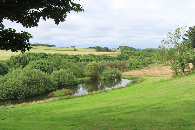
The Ark is a small island located off the coast of Banffshire, Scotland. Known for its stunning natural beauty and rich history, The Ark attracts visitors from all over the world. The island is accessible by boat and is a popular destination for nature enthusiasts and history buffs alike.
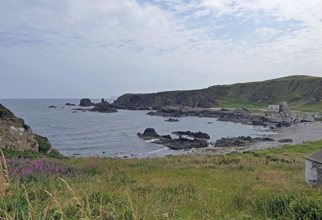
With its rugged cliffs, sandy beaches, and rolling green hills, The Ark offers a diverse range of landscapes to explore. It is home to a variety of wildlife, including seabird colonies, seals, and even occasional sightings of dolphins and whales. The island's unique ecosystem has been carefully preserved, making it a haven for birdwatchers and photographers.
The Ark is also steeped in history, with evidence of human habitation dating back thousands of years. Remnants of ancient settlements, including stone circles and burial sites, can be found scattered across the island. The ruins of a medieval castle, believed to have been built in the 12th century, stand as a testament to the island's past.
Visitors to The Ark can enjoy a range of activities, from hiking and camping to fishing and wildlife spotting. The island's tranquil atmosphere and breathtaking vistas make it an ideal destination for those seeking a peaceful getaway. Additionally, the local community offers various accommodations, including cozy cottages and bed and breakfasts, providing visitors with a comfortable and authentic experience.
Overall, The Ark is a hidden gem in Banffshire, offering visitors a unique blend of natural beauty and historical significance. Whether exploring its rugged coastline or immersing oneself in its rich heritage, The Ark promises an unforgettable experience for all who venture to this remote Scottish island.
If you have any feedback on the listing, please let us know in the comments section below.
The Ark Images
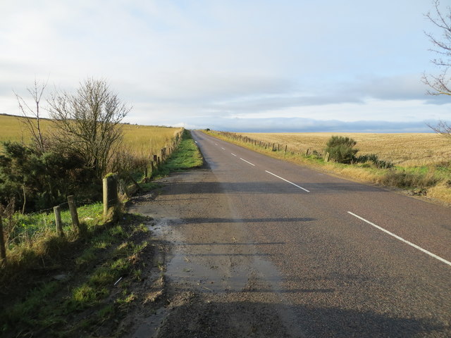
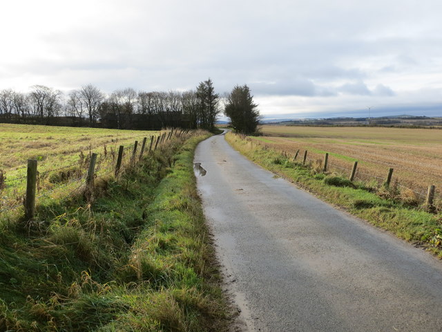
Images are sourced within 2km of 57.672493/-2.4551626 or Grid Reference NJ7264. Thanks to Geograph Open Source API. All images are credited.


The Ark is located at Grid Ref: NJ7264 (Lat: 57.672493, Lng: -2.4551626)
Unitary Authority: Aberdeenshire
Police Authority: North East
What 3 Words
///headed.jogged.ballpoint. Near Macduff, Aberdeenshire
Nearby Locations
Related Wikis

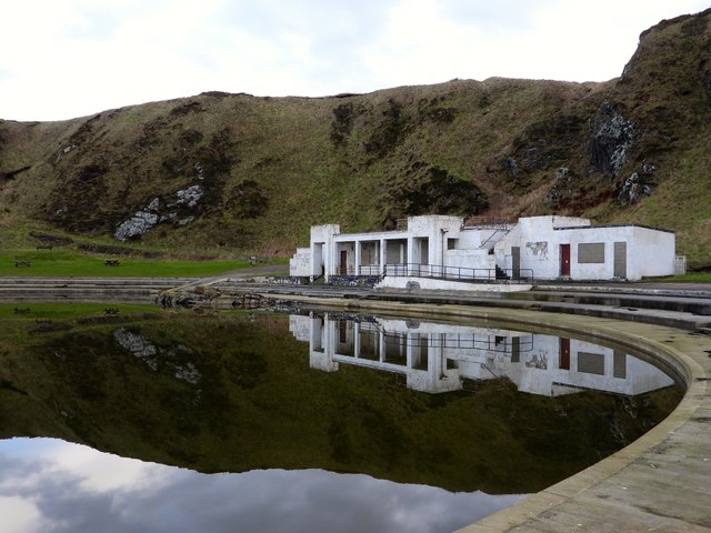
Tarlair Swimming Pool
Tarlair Swimming Pool is a disused lido at the base of a sea cliff just outside Macduff in Aberdeenshire in Scotland. This outdoor swimming complex was...

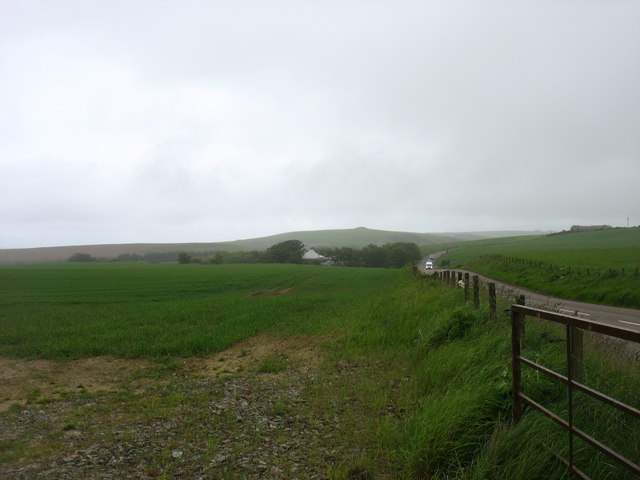
A98 road
The A98 road is a major coastal road of northeast Scotland passing through Moray and Aberdeenshire. The A98 is no longer a primary route, with this status...

Burn of Myrehouse
The Burn of Myrehouse is a coastal stream in Aberdeenshire in northeast Scotland, the lower section of which, Getty Burn is a right bank tributary of River...

Macduff Marine Aquarium
Macduff Marine Aquarium is an aquarium in Macduff, Scotland. == History == Macduff Marine Aquarium opened in 1997.In 2017, the aquarium closed to allow...
Nearby Amenities
Located within 500m of 57.672493,-2.4551626Have you been to The Ark?
Leave your review of The Ark below (or comments, questions and feedback).