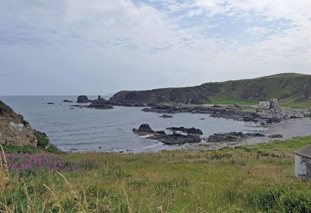
Bay of Cullen
Bay in Banffshire
Scotland
Bay of Cullen

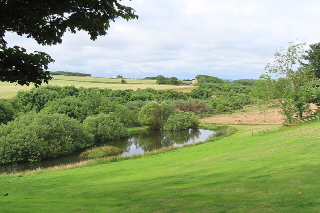
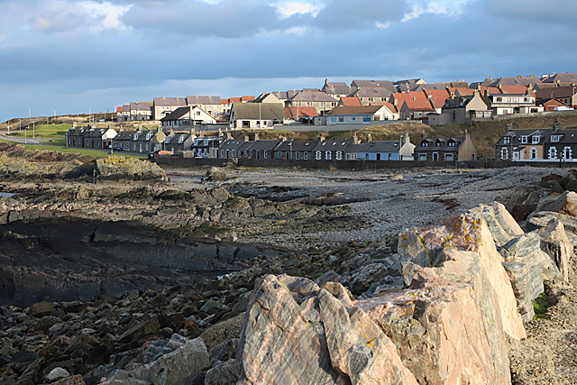
Bay of Cullen, located in Banffshire, Scotland, is a stunning coastal area renowned for its natural beauty and historical significance. Situated on the eastern coast of Scotland, it lies between the towns of Cullen and Findochty. This picturesque bay stretches for approximately 2 miles, offering visitors and locals alike a tranquil setting to enjoy various activities.
The Bay of Cullen boasts a pristine sandy beach, which is a major attraction for tourists during the summer months. The beach offers breathtaking views of the North Sea and the surrounding cliffs. It is an ideal spot for sunbathing, picnicking, and enjoying leisurely walks along the shore. The bay's clear waters are also perfect for swimming and snorkeling, attracting water sports enthusiasts.
Aside from its natural beauty, the Bay of Cullen is steeped in history. The nearby Cullen House, a historic mansion built in the 16th century, adds to the charm of the area. The bay has also played a significant role in fishing and shipping activities throughout the years, with remnants of old fisher cottages and boat sheds still visible.
The bay is easily accessible, with ample parking facilities nearby. It is well-served by local amenities, including cafes, restaurants, and shops, ensuring visitors have a comfortable and enjoyable experience. Nature lovers can explore the surrounding coastal paths and cliffs, which provide stunning views of the bay and its diverse marine life.
In conclusion, the Bay of Cullen in Banffshire is a remarkable destination that combines natural beauty, historical significance, and recreational activities. Whether visitors seek relaxation on its sandy beach or wish to explore its rich heritage, the bay offers an unforgettable experience for all who venture there.
If you have any feedback on the listing, please let us know in the comments section below.
Bay of Cullen Images
Images are sourced within 2km of 57.672404/-2.4625045 or Grid Reference NJ7264. Thanks to Geograph Open Source API. All images are credited.


Bay of Cullen is located at Grid Ref: NJ7264 (Lat: 57.672404, Lng: -2.4625045)
Unitary Authority: Aberdeenshire
Police Authority: North East
What 3 Words
///crouching.edit.prawn. Near Macduff, Aberdeenshire
Nearby Locations
Related Wikis

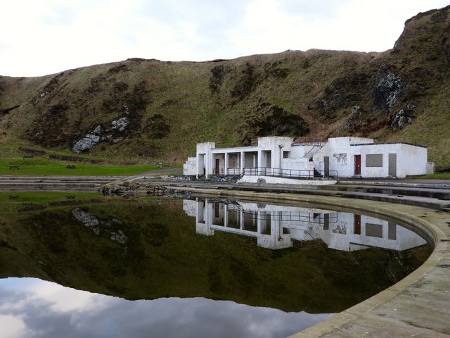
Tarlair Swimming Pool
Tarlair Swimming Pool is a disused lido at the base of a sea cliff just outside Macduff in Aberdeenshire in Scotland. This outdoor swimming complex was...

A98 road
The A98 road is a major coastal road of northeast Scotland passing through Moray and Aberdeenshire. The A98 is no longer a primary route, with this status...

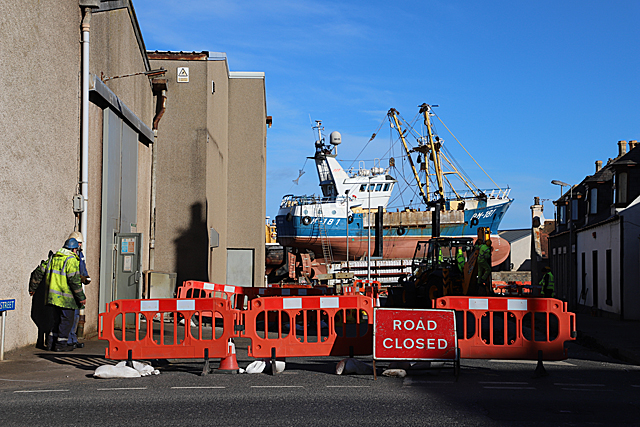
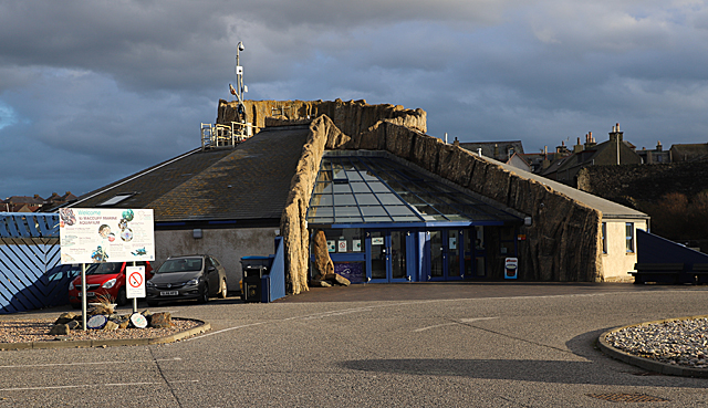
Macduff Marine Aquarium
Macduff Marine Aquarium is an aquarium in Macduff, Scotland. == History == Macduff Marine Aquarium opened in 1997.In 2017, the aquarium closed to allow...

Burn of Myrehouse
The Burn of Myrehouse is a coastal stream in Aberdeenshire in northeast Scotland, the lower section of which, Getty Burn is a right bank tributary of River...
Nearby Amenities
Located within 500m of 57.672404,-2.4625045Have you been to Bay of Cullen?
Leave your review of Bay of Cullen below (or comments, questions and feedback).