Bay of Doomy
Bay in Orkney
Scotland
Bay of Doomy
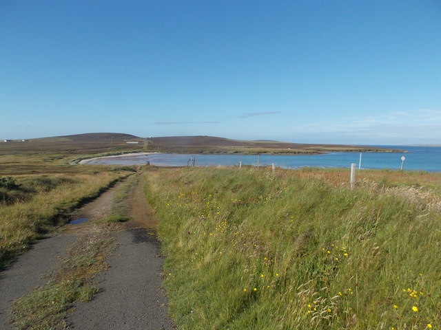
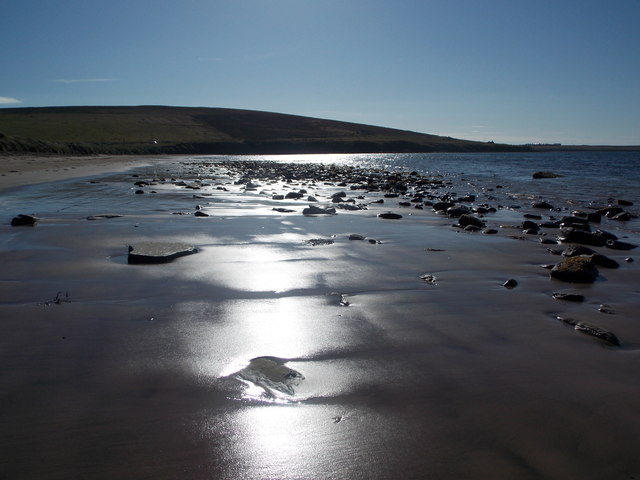
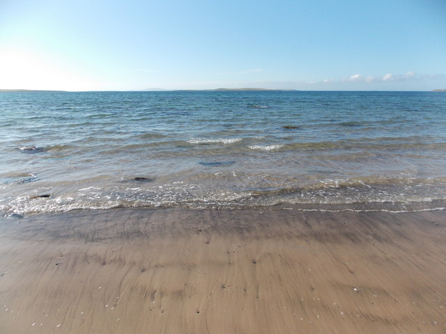
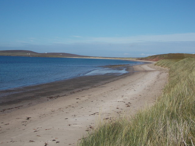
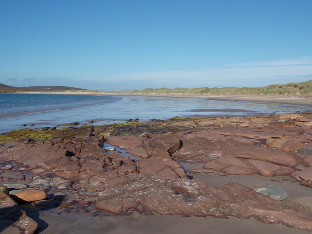
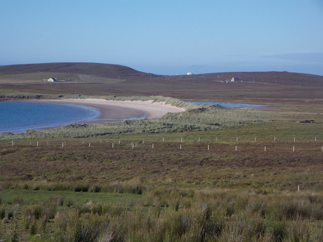
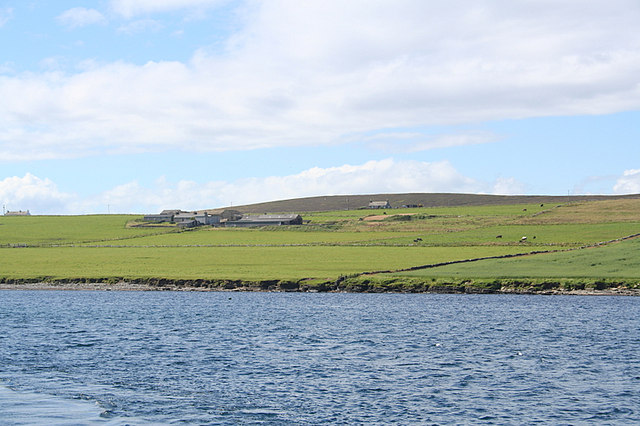
The Bay of Doomy is a picturesque coastal area located on the Orkney Islands in Scotland. Situated on the eastern side of the island, the bay stretches for approximately 1.5 kilometers and offers stunning views of the North Sea. The bay is nestled between rocky cliffs, adding to its natural beauty and charm.
The Bay of Doomy is known for its rugged landscape and diverse wildlife. The surrounding cliffs are home to a variety of seabirds, including puffins, guillemots, and razorbills. Visitors can often spot these magnificent creatures perched on the cliffs or soaring through the skies. The bay's pristine waters also attract seals and dolphins, providing an opportunity for nature enthusiasts to observe these marine mammals in their natural habitat.
The bay is a popular destination for outdoor activities such as walking, hiking, and bird watching. A well-maintained coastal path allows visitors to explore the area and take in the breathtaking scenery. During low tide, the bay reveals a sandy beach, perfect for picnics or simply enjoying the tranquility of the surroundings.
The Bay of Doomy is also of historical significance, with remnants of ancient settlements and burial mounds scattered along its coastline. These archaeological remains offer a glimpse into the island's rich history and provide an interesting backdrop to the natural beauty of the bay.
Overall, the Bay of Doomy in Orkney is a captivating coastal area that showcases the best of Scotland's natural and historical heritage. Whether it's for wildlife spotting, outdoor activities, or simply enjoying the stunning views, this bay offers a unique and unforgettable experience for visitors.
If you have any feedback on the listing, please let us know in the comments section below.
Bay of Doomy Images
Images are sourced within 2km of 59.195548/-2.7808354 or Grid Reference HY5534. Thanks to Geograph Open Source API. All images are credited.
![Eday: the old Faray postbox This stone-built structure looks rather like it once contained a postbox, and indeed it did: and a postbox which had a specific function.
A lady has contacted me with the following information: The pillar contained a postbox until 1947, and it was used for post for the island of Faray, off the west of Eday. A Faray islander would come across each week and collect their mail from here. [Faray has been uninhabited since 1947, so this story fits perfectly.]](https://s0.geograph.org.uk/geophotos/04/70/76/4707660_3d111803.jpg)
Bay of Doomy is located at Grid Ref: HY5534 (Lat: 59.195548, Lng: -2.7808354)
Unitary Authority: Orkney Islands
Police Authority: Highlands and Islands
What 3 Words
///newer.creeps.hamper. Near Backaland, Orkney Islands
Nearby Locations
Related Wikis

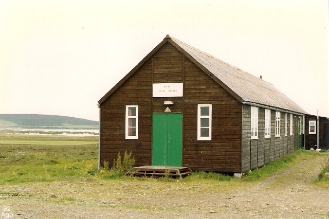
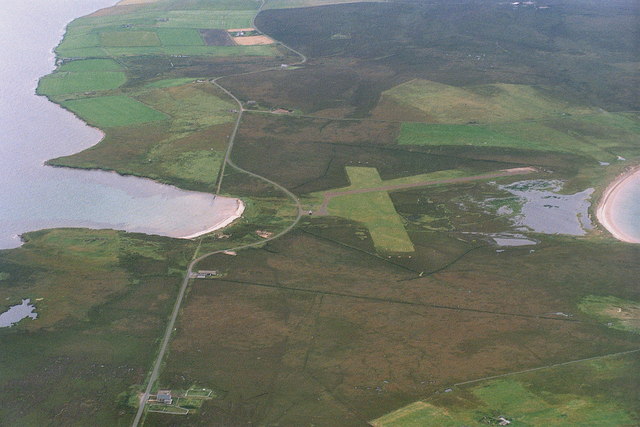
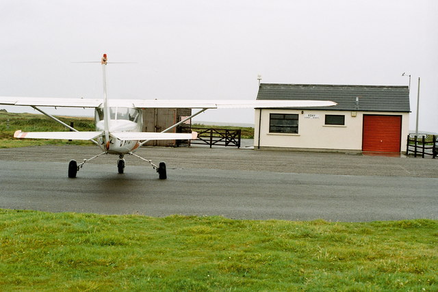
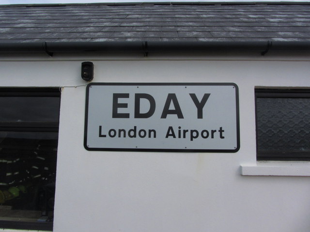
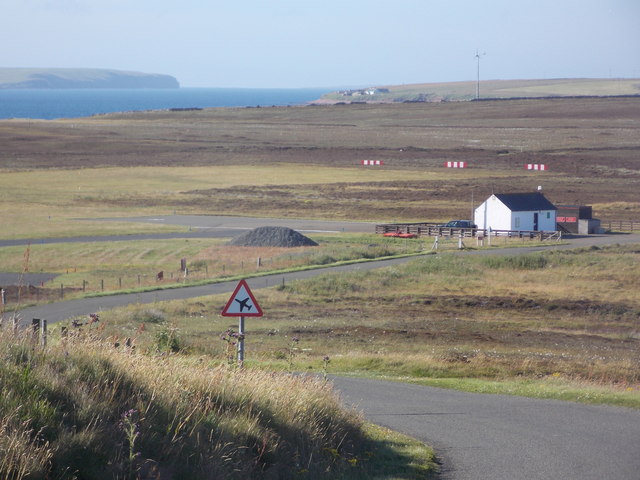
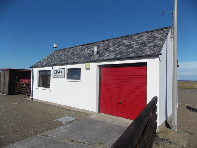
Eday Airport
Eday London Airport (IATA: EOI, ICAO: EGED) is located on Eday in Orkney, Scotland. As it is close to the Bay of London it is known locally as just London...

Eday
Eday (, Scots: Aidee) is one of the islands of Orkney, which are located to the north of the Scottish mainland. One of the North Isles, Eday is about 24...

Faray
Faray (Old Norse: Færey) is a small island in Orkney, Scotland, lying between Eday and Westray. Previously inhabited, the low-lying island is now a successful...

Vinquoy chambered cairn
Vinquoy chambered cairn (grid reference HY56013809) is a Neolithic chambered cairn located on the island of Eday, in Orkney, Scotland. The tomb probably...

Rusk Holm
Rusk Holm is a small island in the Orkney Islands, near Faray to the west. == History == There is a prehistoric cairn on it . Rusk Holm is also home to...
Backaland
Backaland is a settlement on the island of Eday in Orkney, Scotland. The settlement is also within the parish of Eday, and it is located to the south west...

Calf of Eday
The Calf of Eday (Scots: Cauf o Aidee; Old Norse: Kalfr) is an uninhabited island in Orkney, Scotland, lying north east of Eday. It is known for its wildlife...

Holm of Faray
The Holm of Faray is a small island in Orkney, Scotland, near Faray and Westray, which it lies between. Together with its neighbour Faray, it is designated...
Have you been to Bay of Doomy?
Leave your review of Bay of Doomy below (or comments, questions and feedback).