Bay of Newark
Bay in Orkney
Scotland
Bay of Newark
The Bay of Newark, located in Orkney, is a picturesque body of water situated on the eastern coast of Mainland, the largest island in the Orkney archipelago. This bay stretches approximately 5 kilometers in length and is surrounded by rugged, rocky cliffs that provide a stunning backdrop. It is positioned between the Brough of Deerness to the north and the Mull Head Nature Reserve to the south.
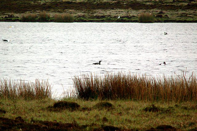
The bay's beauty is enhanced by its crystal-clear turquoise waters, which are often calm due to its sheltered nature. This makes it an ideal spot for various recreational activities such as swimming, kayaking, and fishing. The bay is also a popular destination for birdwatchers, as it serves as a habitat for a variety of seabirds including guillemots, razorbills, and puffins.
One of the notable features of the Bay of Newark is the presence of the Sands of Newark, a pristine sandy beach that emerges during low tide. This sandy stretch is a favorite among locals and visitors alike, offering a place to relax, sunbathe, and enjoy picnics while taking in the panoramic views of the bay.
Surrounding the bay are several walking trails that allow visitors to explore the coastal landscape and its diverse flora and fauna. These paths offer breathtaking views of the bay and its surroundings, making it a haven for nature enthusiasts and photographers.
Overall, the Bay of Newark in Orkney is a tranquil and scenic location that offers a range of recreational opportunities, making it a must-visit destination for both locals and tourists exploring the island.
If you have any feedback on the listing, please let us know in the comments section below.
Bay of Newark Images
Images are sourced within 2km of 59.207773/-2.7803266 or Grid Reference HY5535. Thanks to Geograph Open Source API. All images are credited.
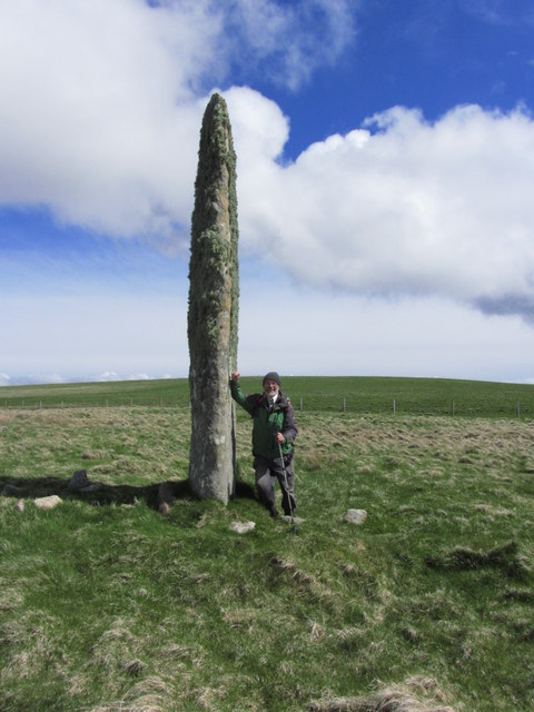
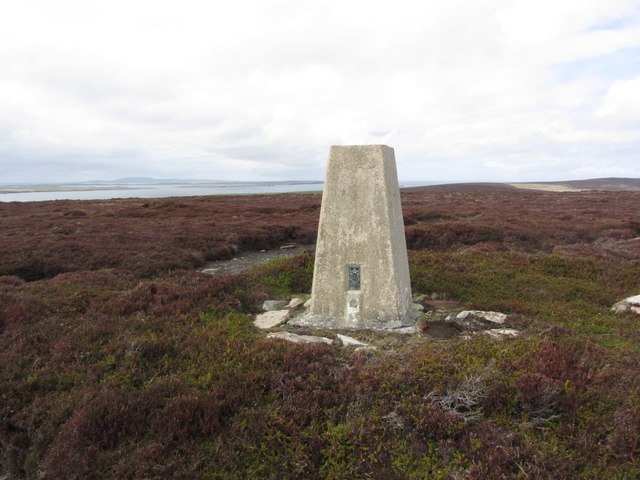
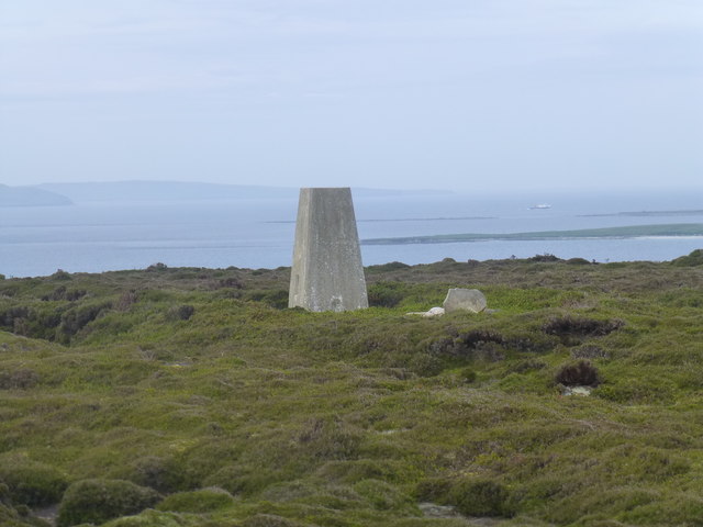
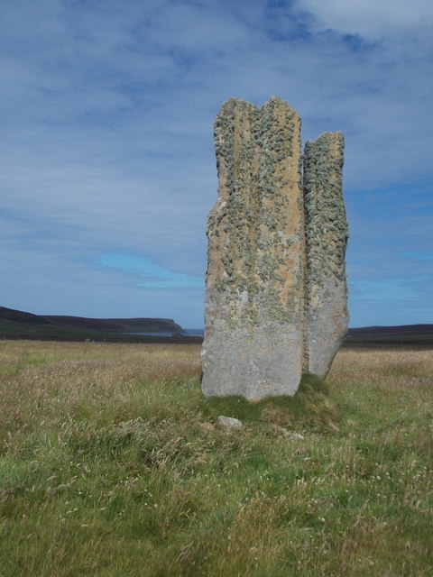
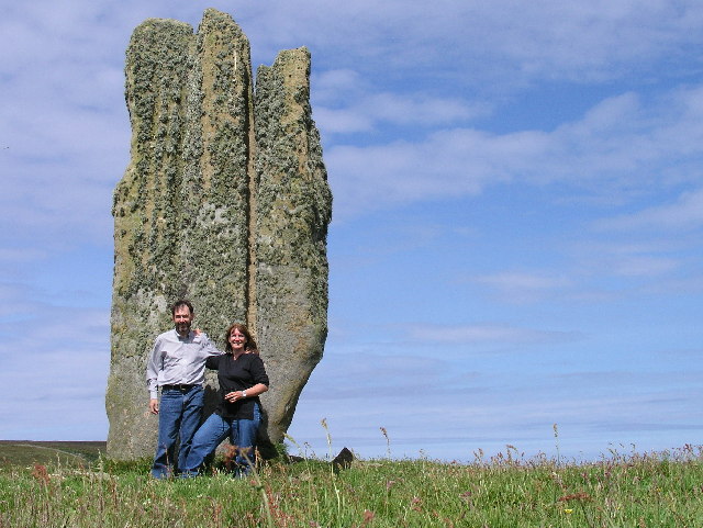
![Eday: the old Faray postbox This stone-built structure looks rather like it once contained a postbox, and indeed it did: and a postbox which had a specific function.
A lady has contacted me with the following information: The pillar contained a postbox until 1947, and it was used for post for the island of Faray, off the west of Eday. A Faray islander would come across each week and collect their mail from here. [Faray has been uninhabited since 1947, so this story fits perfectly.]](https://s0.geograph.org.uk/geophotos/04/70/76/4707660_3d111803.jpg)


Bay of Newark is located at Grid Ref: HY5535 (Lat: 59.207773, Lng: -2.7803266)
Unitary Authority: Orkney Islands
Police Authority: Highlands and Islands
What 3 Words
///noting.lyricism.revise. Near Backaland, Orkney Islands
Nearby Locations
Related Wikis

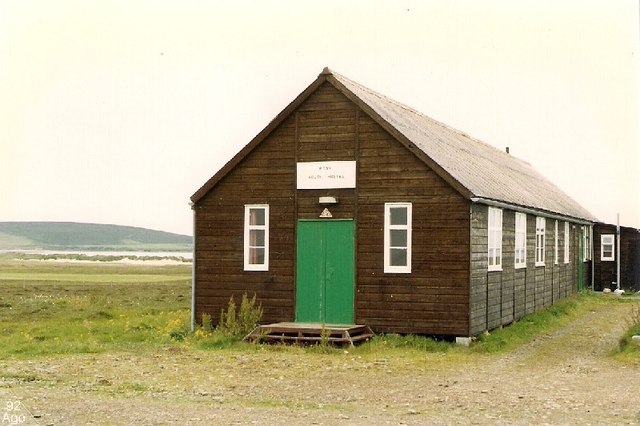
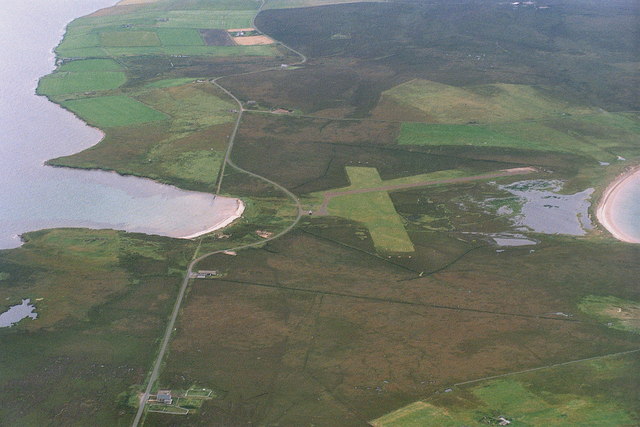
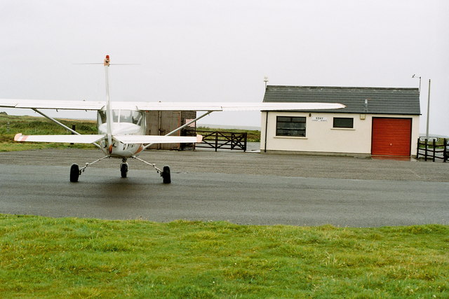
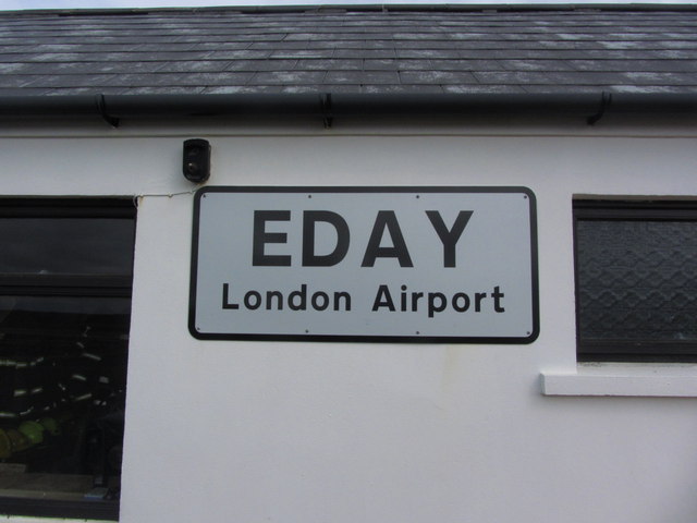
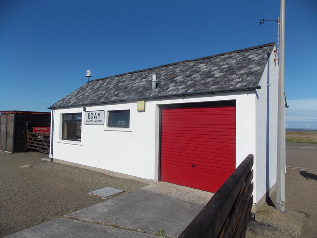
Eday Airport
Eday London Airport (IATA: EOI, ICAO: EGED) is located on Eday in Orkney, Scotland. As it is close to the Bay of London it is known locally as just London...

Vinquoy chambered cairn
Vinquoy chambered cairn (grid reference HY56013809) is a Neolithic chambered cairn located on the island of Eday, in Orkney, Scotland. The tomb probably...

Faray
Faray (Old Norse: Færey) is a small island in Orkney, Scotland, lying between Eday and Westray. Previously inhabited, the low-lying island is now a successful...

Eday
Eday (, Scots: Aidee) is one of the islands of Orkney, which are located to the north of the Scottish mainland. One of the North Isles, Eday is about 24...

Calf of Eday
The Calf of Eday (Scots: Cauf o Aidee; Old Norse: Kalfr) is an uninhabited island in Orkney, Scotland, lying north east of Eday. It is known for its wildlife...

Holm of Faray
The Holm of Faray is a small island in Orkney, Scotland, near Faray and Westray, which it lies between. Together with its neighbour Faray, it is designated...

Rusk Holm
Rusk Holm is a small island in the Orkney Islands, near Faray to the west. == History == There is a prehistoric cairn on it . Rusk Holm is also home to...

Sanday Light Railway
The Sanday Light Railway was a privately owned ridable miniature railway situated in Braeswick, on the island of Sanday, Orkney, Scotland. The railway...
Nearby Amenities
Located within 500m of 59.207773,-2.7803266Have you been to Bay of Newark?
Leave your review of Bay of Newark below (or comments, questions and feedback).