Loch of Doomy
Lake, Pool, Pond, Freshwater Marsh in Orkney
Scotland
Loch of Doomy
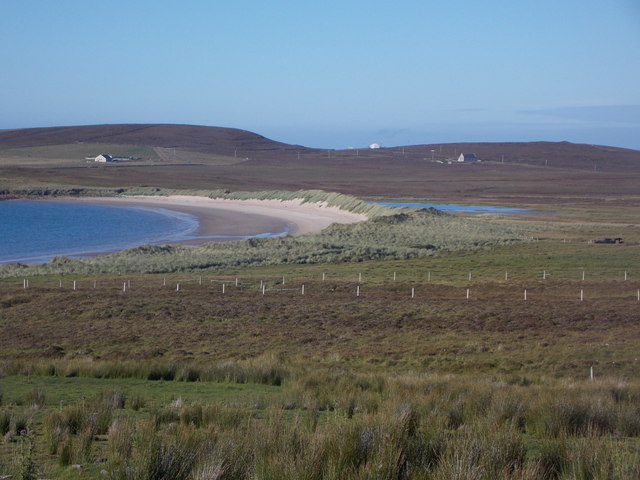
Loch of Doomy is a small freshwater lake located in the Orkney Islands, Scotland. Situated on the eastern coast of the main island, it is nestled amidst picturesque surroundings, making it a popular destination for nature enthusiasts and birdwatchers.
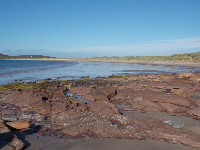
Covering an area of approximately 30 acres, the Loch of Doomy is surrounded by gently rolling hills and lush green meadows. The water is crystal clear and fed by small streams and natural springs that originate from the surrounding hills. It is known for its calm and serene atmosphere, offering a tranquil escape from the hustle and bustle of everyday life.
The Loch of Doomy is home to a diverse range of flora and fauna. The surrounding wetlands and marshy areas support a variety of plant species, including reeds, sedges, and water lilies. These wetland habitats provide an ideal breeding ground for many bird species, making it a significant site for bird migration and nesting.
Birdwatchers frequent the Loch of Doomy to observe a wide range of avian species, including wading birds, ducks, and geese. Some of the notable species that can be spotted here include the common snipe, teal, tufted duck, and curlew. Moreover, the loch also attracts a variety of other wildlife, such as otters, frogs, and dragonflies.
Access to Loch of Doomy is relatively easy, with a well-maintained footpath leading to the lake from the nearby village. Visitors can enjoy peaceful walks around the shores, observe the wildlife, or simply relax and take in the breathtaking views. Whether you are a nature lover or seeking a tranquil retreat, Loch of Doomy offers a captivating experience in the heart of Orkney's natural beauty.
If you have any feedback on the listing, please let us know in the comments section below.
Loch of Doomy Images
Images are sourced within 2km of 59.191724/-2.7759697 or Grid Reference HY5534. Thanks to Geograph Open Source API. All images are credited.


Loch of Doomy is located at Grid Ref: HY5534 (Lat: 59.191724, Lng: -2.7759697)
Unitary Authority: Orkney Islands
Police Authority: Highlands and Islands
What 3 Words
///guests.download.heat. Near Backaland, Orkney Islands
Nearby Locations
Related Wikis

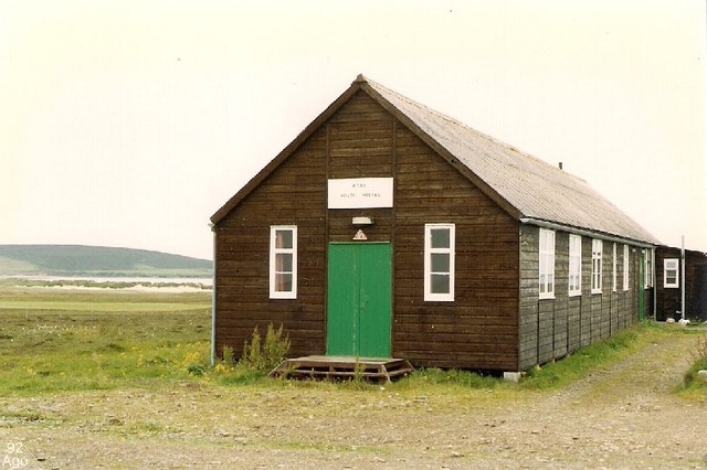
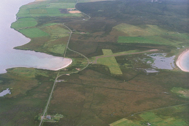
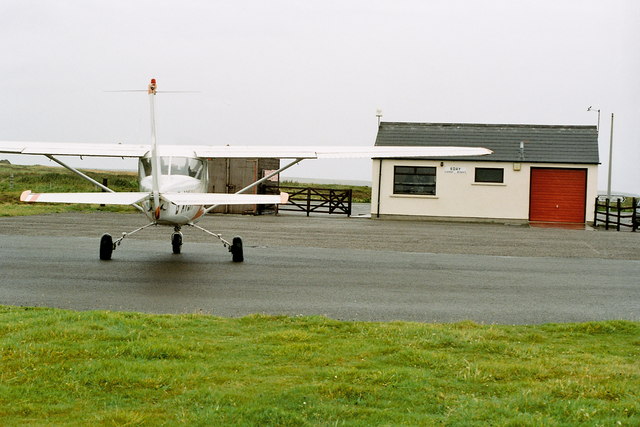
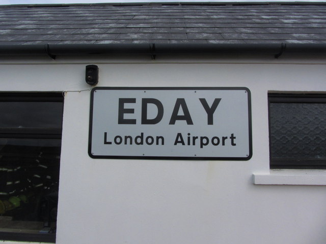
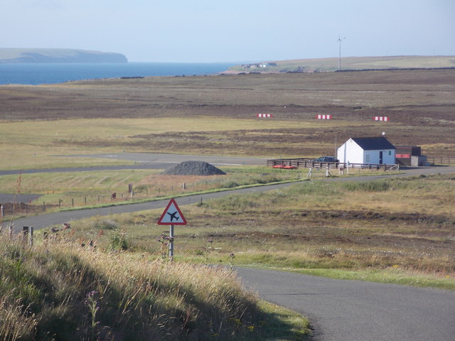
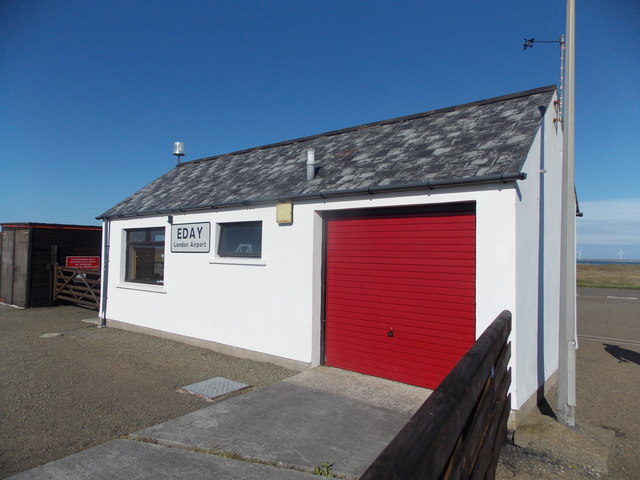
Eday Airport
Eday London Airport (IATA: EOI, ICAO: EGED) is located on Eday in Orkney, Scotland. As it is close to the Bay of London it is known locally as just London...

Eday
Eday (, Scots: Aidee) is one of the islands of Orkney, which are located to the north of the Scottish mainland. One of the North Isles, Eday is about 24...

Faray
Faray (Old Norse: Færey) is a small island in Orkney, Scotland, lying between Eday and Westray. Previously inhabited, the low-lying island is now a successful...

Vinquoy chambered cairn
Vinquoy chambered cairn (grid reference HY56013809) is a Neolithic chambered cairn located on the island of Eday, in Orkney, Scotland. The tomb probably...
Nearby Amenities
Located within 500m of 59.191724,-2.7759697Have you been to Loch of Doomy?
Leave your review of Loch of Doomy below (or comments, questions and feedback).