West Bight

Bay in Orkney

Scotland

West Bight

Ferry approaching the pier in Rapness, Westray
Ferry approaching the pier in Rapness, Westray Credit: stalked

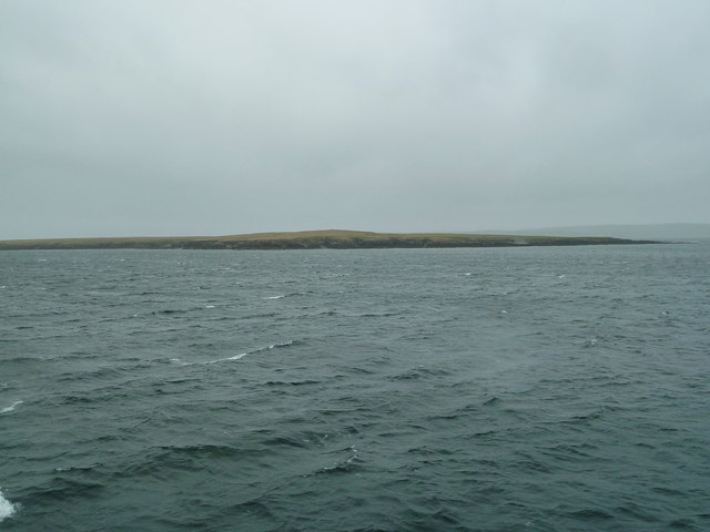
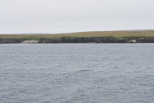
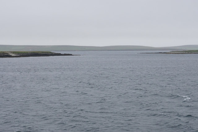
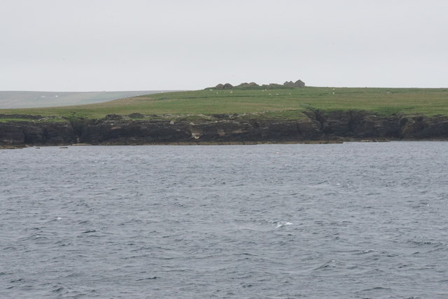
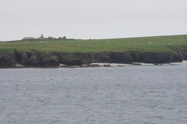
West Bight, Orkney (Bay) is a picturesque coastal region located on the western coast of the Orkney Mainland in Scotland. This bay is nestled between the towns of Stromness and Orphir, offering visitors breathtaking views of the surrounding landscape and the North Atlantic Ocean.

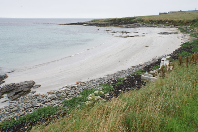
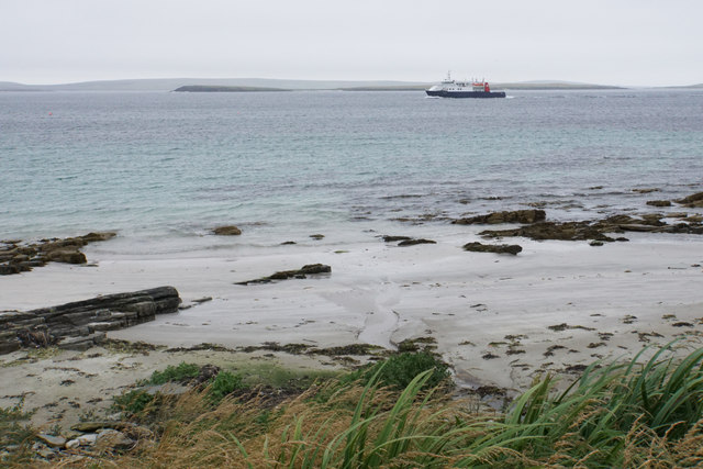
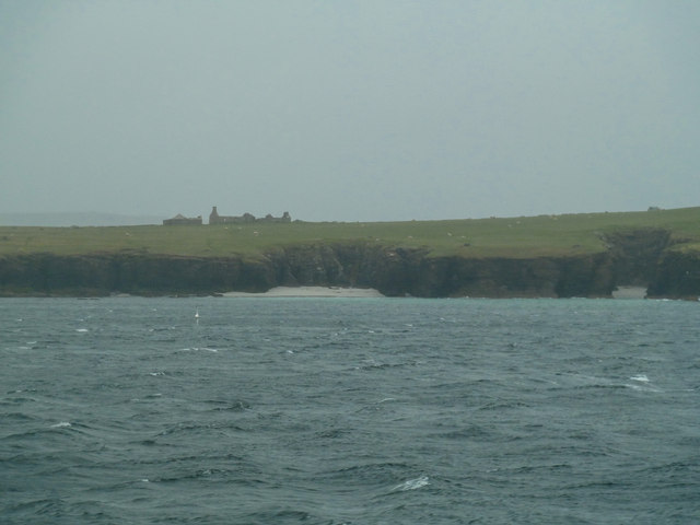
The bay is characterized by its rugged and rocky coastline, where dramatic cliffs and stacks rise from the water, creating a stunning backdrop against the vibrant blue sea. The bay is also home to a variety of bird species, including puffins, guillemots, and razorbills, making it a popular spot for birdwatching enthusiasts.

The area is known for its historical significance, with several archaeological sites scattered throughout the region. The most notable of these is the Broch of Borwick, an Iron Age fortified structure that stands proudly on a headland overlooking West Bight. This ancient site provides a glimpse into the lives of the people who inhabited Orkney thousands of years ago.

For outdoor enthusiasts, West Bight offers ample opportunities for exploration and adventure. The bay is a popular destination for sea kayaking, with its calm waters and stunning scenery providing a perfect backdrop for a leisurely paddle. The surrounding hills and moorlands also offer fantastic hiking trails, allowing visitors to immerse themselves in the natural beauty of the area.

Overall, West Bight, Orkney (Bay) is a captivating destination that showcases the raw beauty of Scotland's coastline. Its historical significance, diverse wildlife, and opportunities for outdoor activities make it a must-visit location for those seeking an unforgettable experience in Orkney.

If you have any feedback on the listing, please let us know in the comments section below.
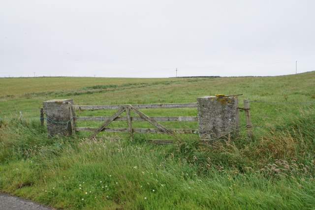
West Bight Images

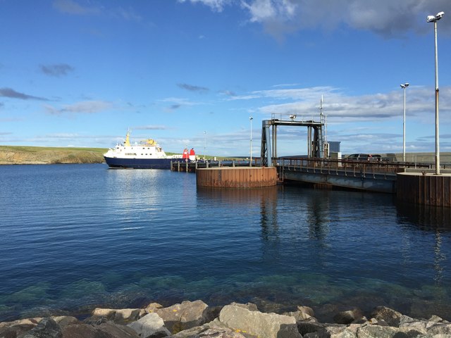
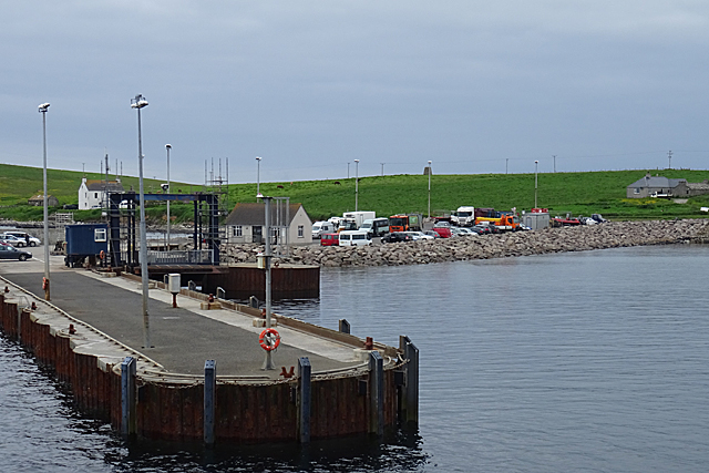
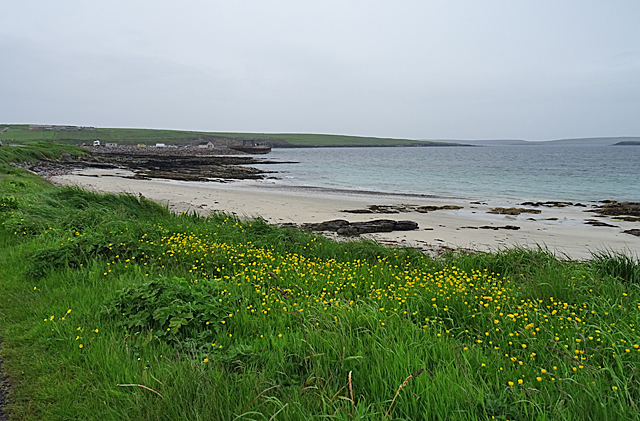
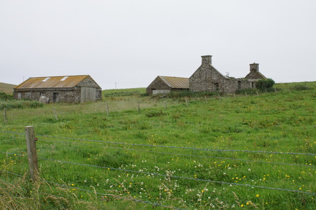
Images are sourced within 2km of 59.237325/-2.8372452 or Grid Reference HY5239. Thanks to Geograph Open Source API. All images are credited.

Ferry approaching the pier in Rapness, Westray
Rapness Pier This is where the vehicle ferry from Kirkwall lands, at the south end of the island of Westray.
Rapness Pier
This is where the vehicle ferry from Kirkwall lands, at the south end of the island of Westray.
Sands of Helzie Another of the string of little sandy beaches along the south coast of Westray. At the far side of the bay is Rapness Pier, where the vehicle ferry from Kirkwall comes in.
Sands of Helzie
Another of the string of little sandy beaches along the south coast of Westray. At the far side of the bay is Rapness Pier, where the vehicle ferry from Kirkwall comes in.
Helzie Farm The barns are still in use, but the farmhouse is roofless.
Helzie Farm
The barns are still in use, but the farmhouse is roofless.
Sands of Helzie Fine white sand.
Sands of Helzie
Fine white sand.
The Sands of Helzie and a ferry The ferry from Kirkwall is about to arrive at Rapness.
The Sands of Helzie and a ferry
The ferry from Kirkwall is about to arrive at Rapness.
Westray - MV Golden Mariana at Rapness Pier This photograph was taken well before the pier was extended as the main ferry terminal on the island.
Westray - MV Golden Mariana at Rapness Pier
This photograph was taken well before the pier was extended as the main ferry terminal on the island.
Varagen arriving at Westray
Holm of Faray View to the island from the ferry to Kirkwall with Lavey Sound to the far right of picture.
Holm of Faray
View to the island from the ferry to Kirkwall with Lavey Sound to the far right of picture.
Faray View to the island with Broad Sand Geo to the left and Long Sand Geo right on the shore. The abandoned dwelling to the left of picture on the horizon is Cott.
Faray
View to the island with Broad Sand Geo to the left and Long Sand Geo right on the shore. The abandoned dwelling to the left of picture on the horizon is Cott.
Cattle above the Point of Geldibist On the sound beyond, the ferry from Kirkwall is approaching Rapness.
Cattle above the Point of Geldibist
On the sound beyond, the ferry from Kirkwall is approaching Rapness.
Point of Geldibist Just about visible from the road. In the distance is the island of Faray, with the fainter profile of Eday behind it.
Point of Geldibist
Just about visible from the road. In the distance is the island of Faray, with the fainter profile of Eday behind it.
Field access on Rapness A little-used gate to the field, leading up to the spine of this southern peninsula.
Field access on Rapness
A little-used gate to the field, leading up to the spine of this southern peninsula.
Holm of Faray The western side of the island has a few geos. Tystie Geo and Outfloe Geo are visible here.
Holm of Faray
The western side of the island has a few geos. Tystie Geo and Outfloe Geo are visible here.
Point of Dogs Bones and Lavey Sound The southern tip of the Holm of Faray facing the northern tip of Faray.
Point of Dogs Bones and Lavey Sound
The southern tip of the Holm of Faray facing the northern tip of Faray.
Faray The remains of Quoy Farm are on top of the rise, while the cliff below is split by some geos.
Faray
The remains of Quoy Farm are on top of the rise, while the cliff below is split by some geos.
Cliffs of Faray The beginning of a sandy beach which is not very accessible. On top is an abandoned croft called Cott.
Cliffs of Faray
The beginning of a sandy beach which is not very accessible. On top is an abandoned croft called Cott.
Ferry at Whale Geo pier, Westray This is the Earl Thorfinn, docking before returning to Kirkwall.
Ferry at Whale Geo pier, Westray
This is the Earl Thorfinn, docking before returning to Kirkwall.
Show me another place!

West Bight is located at Grid Ref: HY5239 (Lat: 59.237325, Lng: -2.8372452)

Unitary Authority: Orkney Islands

Police Authority: Highlands and Islands

What 3 Words

///edges.pronouns.festivity. Near Backaland, Orkney Islands

Related Wikis

Holm of Faray

The Holm of Faray is a small island in Orkney, Scotland, near Faray and Westray, which it lies between. Together with its neighbour Faray, it is designated...

Rapness

Rapness is a settlement on the island of Westray in Orkney, Scotland. The slipway is the ferry terminal for the Orkney Ferries crossing from Kirkwall on...

Faray

Faray (Old Norse: Færey) is a small island in Orkney, Scotland, lying between Eday and Westray. Previously inhabited, the low-lying island is now a successful...

Rusk Holm

Rusk Holm is a small island in the Orkney Islands, near Faray to the west. == History == There is a prehistoric cairn on it . Rusk Holm is also home to...

Nearby Amenities

Located within 500m of 59.237325,-2.8372452
Created By: almien_coastlines mod
Lat/Long: 59.239069/-2.832336
Created By: almien_coastlines mod
Lat/Long: 59.238939/-2.830838
Created By: almien_coastlines mod
Lat/Long: 59.237017/-2.829349
The data included in this document is from www.openstreetmap.org. The data is made available under ODbL.

Have you been to West Bight?

Leave your review of West Bight below (or comments, questions and feedback).