Sand Geo

Coastal Feature, Headland, Point in Orkney

Scotland

Sand Geo

Ferry approaching the pier in Rapness, Westray
Ferry approaching the pier in Rapness, Westray Credit: stalked

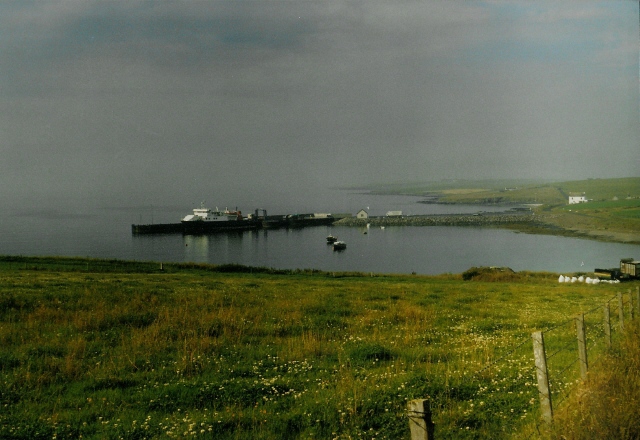
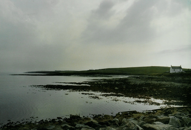
Sand Geo is a prominent coastal feature located in the Orkney Islands, a group of islands situated off the northeastern coast of Scotland. It is specifically found on the mainland of Orkney, on the eastern side of the island of Sanday.

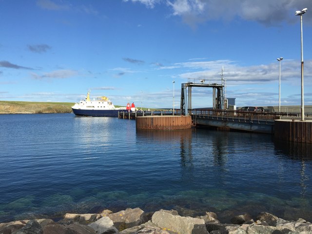
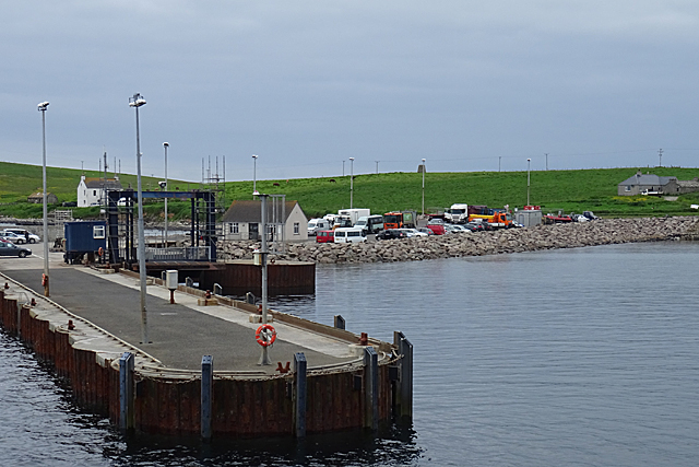
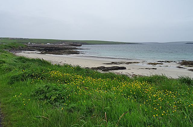
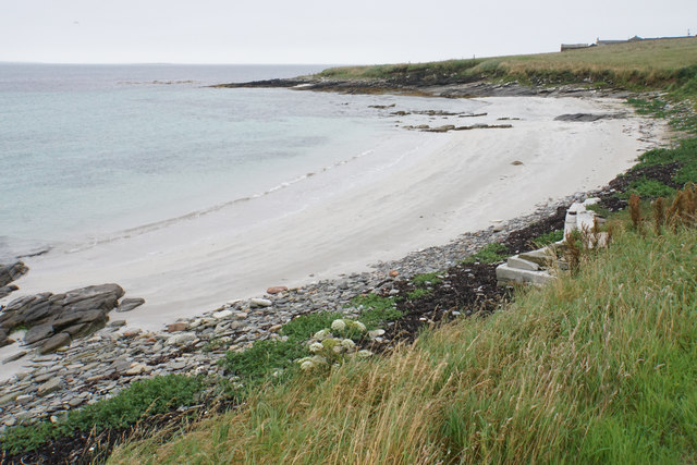
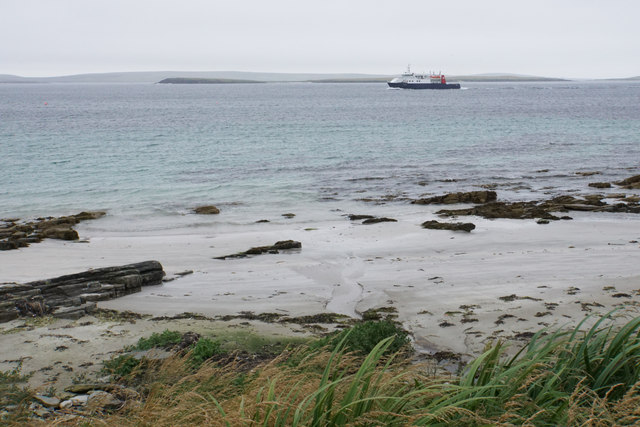
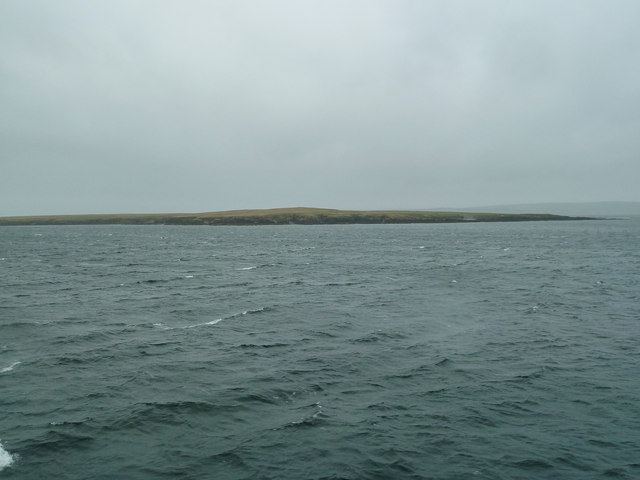
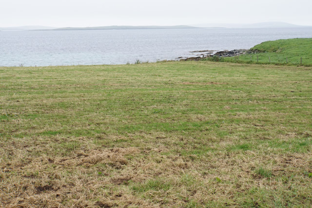
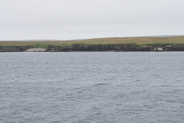
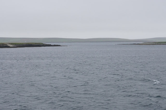
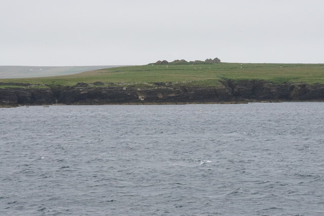
Sand Geo is a headland that juts out into the North Sea, forming a distinct point along the coastline. It is characterized by its rugged cliffs and rocky shoreline, which provide a striking contrast to the surrounding sandy beach areas. The headland is composed of sandstone and is known for its geological significance, showcasing layers of sedimentary rock that have been shaped by the relentless action of the sea.

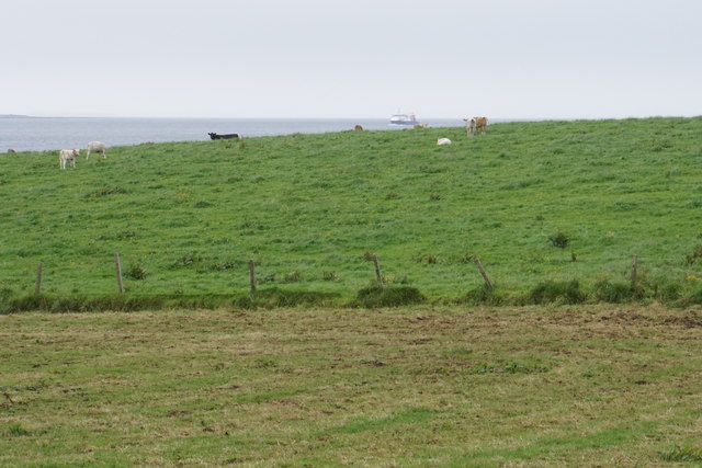
This coastal feature is notable for its dramatic landscape and its role in providing a habitat for a diverse range of marine and bird species. The cliffs of Sand Geo are home to nesting seabirds, including guillemots, fulmars, and puffins, which take advantage of the rocky ledges for shelter and breeding. The surrounding waters are also rich in marine life, with seals often spotted basking on the rocky shores and various fish species swimming in the nearby sea.

Sand Geo is a popular spot for nature enthusiasts, who visit the area to observe the unique geological formations, enjoy coastal walks, and witness the abundance of wildlife. Its picturesque setting, combined with the tranquil atmosphere, makes it a favored destination for photographers and those seeking a peaceful retreat in the midst of nature.

If you have any feedback on the listing, please let us know in the comments section below.

Sand Geo Images

Images are sourced within 2km of 59.2408/-2.8344032 or Grid Reference HY5239. Thanks to Geograph Open Source API. All images are credited.

Ferry approaching the pier in Rapness, Westray
Rapness Pier This is where the vehicle ferry from Kirkwall lands, at the south end of the island of Westray.
Rapness Pier
This is where the vehicle ferry from Kirkwall lands, at the south end of the island of Westray.
Sands of Helzie Another of the string of little sandy beaches along the south coast of Westray. At the far side of the bay is Rapness Pier, where the vehicle ferry from Kirkwall comes in.
Sands of Helzie
Another of the string of little sandy beaches along the south coast of Westray. At the far side of the bay is Rapness Pier, where the vehicle ferry from Kirkwall comes in.
Helzie Farm The barns are still in use, but the farmhouse is roofless.
Helzie Farm
The barns are still in use, but the farmhouse is roofless.
Sands of Helzie Fine white sand.
Sands of Helzie
Fine white sand.
The Sands of Helzie and a ferry The ferry from Kirkwall is about to arrive at Rapness.
The Sands of Helzie and a ferry
The ferry from Kirkwall is about to arrive at Rapness.
Westray - MV Golden Mariana at Rapness Pier This photograph was taken well before the pier was extended as the main ferry terminal on the island.
Westray - MV Golden Mariana at Rapness Pier
This photograph was taken well before the pier was extended as the main ferry terminal on the island.
Varagen arriving at Westray
Holm of Faray View to the island from the ferry to Kirkwall with Lavey Sound to the far right of picture.
Holm of Faray
View to the island from the ferry to Kirkwall with Lavey Sound to the far right of picture.
Cattle above the Point of Geldibist On the sound beyond, the ferry from Kirkwall is approaching Rapness.
Cattle above the Point of Geldibist
On the sound beyond, the ferry from Kirkwall is approaching Rapness.
Point of Geldibist Just about visible from the road. In the distance is the island of Faray, with the fainter profile of Eday behind it.
Point of Geldibist
Just about visible from the road. In the distance is the island of Faray, with the fainter profile of Eday behind it.
Holm of Faray The western side of the island has a few geos. Tystie Geo and Outfloe Geo are visible here.
Holm of Faray
The western side of the island has a few geos. Tystie Geo and Outfloe Geo are visible here.
Point of Dogs Bones and Lavey Sound The southern tip of the Holm of Faray facing the northern tip of Faray.
Point of Dogs Bones and Lavey Sound
The southern tip of the Holm of Faray facing the northern tip of Faray.
Faray The remains of Quoy Farm are on top of the rise, while the cliff below is split by some geos.
Faray
The remains of Quoy Farm are on top of the rise, while the cliff below is split by some geos.
Ferry at Whale Geo pier, Westray This is the Earl Thorfinn, docking before returning to Kirkwall.
Ferry at Whale Geo pier, Westray
This is the Earl Thorfinn, docking before returning to Kirkwall.
Arriving at Rapness, Westray
Farmland at Grimbust, with Rapness harbour below
Coastline at Rapness The white house is (from memory) Whitelet
Coastline at Rapness
The white house is (from memory) Whitelet
Show me another place!

Sand Geo is located at Grid Ref: HY5239 (Lat: 59.2408, Lng: -2.8344032)

Unitary Authority: Orkney Islands

Police Authority: Highlands and Islands

What 3 Words

///recorders.scribbled.climber. Near Backaland, Orkney Islands

Related Wikis

Holm of Faray

The Holm of Faray is a small island in Orkney, Scotland, near Faray and Westray, which it lies between. Together with its neighbour Faray, it is designated...

Rapness

Rapness is a settlement on the island of Westray in Orkney, Scotland. The slipway is the ferry terminal for the Orkney Ferries crossing from Kirkwall on...

Faray

Faray (Old Norse: Færey) is a small island in Orkney, Scotland, lying between Eday and Westray. Previously inhabited, the low-lying island is now a successful...

Vinquoy chambered cairn

Vinquoy chambered cairn (grid reference HY56013809) is a Neolithic chambered cairn located on the island of Eday, in Orkney, Scotland. The tomb probably...

Rusk Holm

Rusk Holm is a small island in the Orkney Islands, near Faray to the west. == History == There is a prehistoric cairn on it . Rusk Holm is also home to...

Calf of Eday

The Calf of Eday (Scots: Cauf o Aidee; Old Norse: Kalfr) is an uninhabited island in Orkney, Scotland, lying north east of Eday. It is known for its wildlife...

Eday Airport

Eday London Airport (IATA: EOI, ICAO: EGED) is located on Eday in Orkney, Scotland. As it is close to the Bay of London it is known locally as just London...

Eday

Eday (, Scots: Aidee) is one of the islands of Orkney, which are located to the north of the Scottish mainland. One of the North Isles, Eday is about 24...

Nearby Amenities

Located within 500m of 59.2408,-2.8344032
Created By: almien_coastlines mod
Lat/Long: 59.239069/-2.832336
Created By: almien_coastlines mod
Lat/Long: 59.241755/-2.831324
Created By: almien_coastlines mod
Lat/Long: 59.241923/-2.831153
Created By: almien_coastlines mod
Lat/Long: 59.238939/-2.830838
The data included in this document is from www.openstreetmap.org. The data is made available under ODbL.

Have you been to Sand Geo?

Leave your review of Sand Geo below (or comments, questions and feedback).