Braefoot Bay

Bay in Fife

Scotland

Braefoot Bay

Car Craig Cormorants, Shags and Gull population on this rocky island near Inchcolm.
The land in NT2083 is only visible at low tide.
Car Craig Credit: Simon Johnston

Braefoot Bay is a small bay located on the eastern coast of Scotland, specifically in the region of Fife. It is situated approximately 5 miles northwest of the town of Dalgety Bay and around 10 miles northeast of the city of Edinburgh. The bay itself is nestled between the towns of Aberdour and Burntisland.

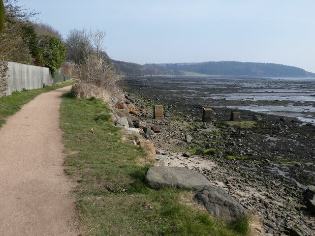
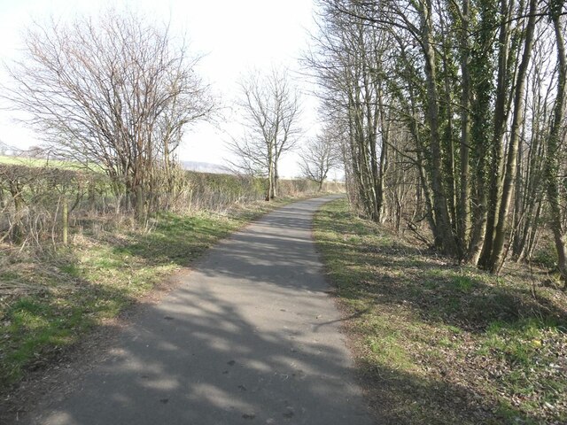
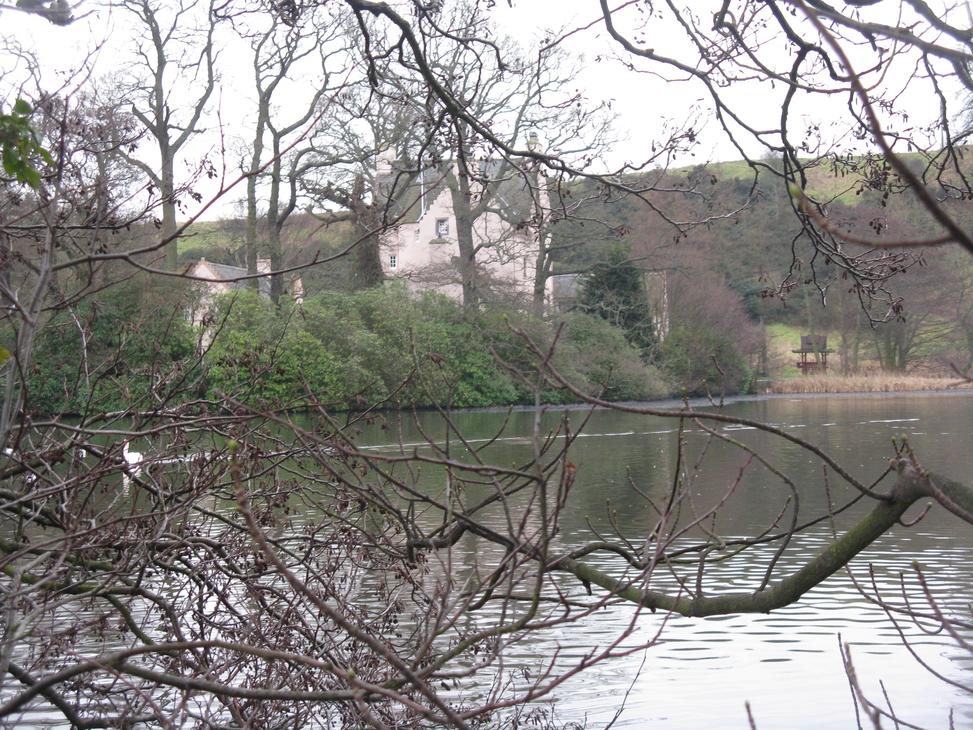
The bay is known for its picturesque scenery, with stunning views of the Firth of Forth and the surrounding countryside. It is a popular destination for locals and tourists alike, offering opportunities for activities such as walking, picnicking, and birdwatching. The bay is also home to a variety of wildlife, including seabirds, seals, and occasionally dolphins.

One of the main features of Braefoot Bay is the oil refinery complex located on its eastern shore. The refinery, operated by ExxonMobil, has been in operation since the 1960s and is a significant contributor to the local economy. It processes crude oil into a range of products, including gasoline, diesel, and aviation fuel.

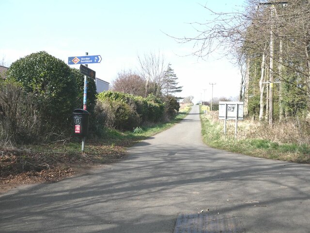
The bay is easily accessible by road, with a nearby junction on the A921 providing direct access. There is also a railway station in Aberdour, around 2 miles away, offering convenient transportation links.

Overall, Braefoot Bay is a charming coastal area in Fife, offering a mix of natural beauty, industrial activity, and recreational opportunities.

If you have any feedback on the listing, please let us know in the comments section below.

Braefoot Bay Images

Images are sourced within 2km of 56.038097/-3.3112406 or Grid Reference NT1883. Thanks to Geograph Open Source API. All images are credited.

Car Craig Cormorants, Shags and Gull population on this rocky island near Inchcolm.
The land in NT2083 is only visible at low tide.
Car Craig
Cormorants, Shags and Gull population on this rocky island near Inchcolm. The land in NT2083 is only visible at low tide.
Car Craig Rugged rocky outcrop near Inchcolm. One of the Islands of the Forth <a title="https://www.geograph.org.uk/gallery/islands_of_the_forth_6400" href="https://www.geograph.org.uk/gallery/islands_of_the_forth_6400">Link</a>
Sometimes known as Carr Craig
Car Craig
Rugged rocky outcrop near Inchcolm. One of the Islands of the Forth Link Sometimes known as Carr Craig
Kelp off Car Craig, Firth of Forth Kelp are large seaweed plants (algae), belonging to the brown algae and classified in the order Laminariales.  

When the tide is high the kelp form spectacular forests underwater. 
<span class="nowrap"><a title="http://en.wikipedia.org/wiki/Kelp" rel="nofollow ugc noopener" href="http://en.wikipedia.org/wiki/Kelp">Link</a><img style="margin-left:2px;" alt="External link" title="External link - shift click to open in new window" src="https://s1.geograph.org.uk/img/external.png" width="10" height="10"/></span>

That's the sandy mud seabed you can see between the algae.
Kelp off Car Craig, Firth of Forth
Kelp are large seaweed plants (algae), belonging to the brown algae and classified in the order Laminariales. When the tide is high the kelp form spectacular forests underwater. LinkExternal link That's the sandy mud seabed you can see between the algae.
Common Seals on deep channel marker buoy Navigation buoy in the Firth of Forth.  The Common Seals <span class="nowrap"><a title="http://en.wikipedia.org/wiki/Common_Seal" rel="nofollow ugc noopener" href="http://en.wikipedia.org/wiki/Common_Seal">Link</a><img style="margin-left:2px;" alt="External link" title="External link - shift click to open in new window" src="https://s1.geograph.org.uk/img/external.png" width="10" height="10"/></span> seem to like these: <a title="https://www.geograph.org.uk/photo/15558" href="https://www.geograph.org.uk/photo/15558">Link</a>

These catmarkers occasionally attract Grey Seals too: <span class="nowrap"><a title="http://www.flickr.com/photos/purplerabbits/2612367777/" rel="nofollow ugc noopener" href="http://www.flickr.com/photos/purplerabbits/2612367777/">Link</a><img style="margin-left:2px;" alt="External link" title="External link - shift click to open in new window" src="https://s1.geograph.org.uk/img/external.png" width="10" height="10"/></span>
Common Seals on deep channel marker buoy
Navigation buoy in the Firth of Forth. The Common Seals LinkExternal link seem to like these: Link These catmarkers occasionally attract Grey Seals too: LinkExternal link
Aberdour Jetty The jetty at Aberdour Harbour now full of yachts as it is the winter season and they are no longer in the water. Autumn colours at Hawcraig Point beyond.
Aberdour Jetty
The jetty at Aberdour Harbour now full of yachts as it is the winter season and they are no longer in the water. Autumn colours at Hawcraig Point beyond.
Pumpkin Flag At Forth View on Hawcraig Point a Pumpkin Flag is proudly flying! Directly beyond is Arthurs Seat and the Edinburgh skyline.
Pumpkin Flag
At Forth View on Hawcraig Point a Pumpkin Flag is proudly flying! Directly beyond is Arthurs Seat and the Edinburgh skyline.
Fife Coastal Path at Dalgety Bay The Fife Coastal Path runs at this point in common with National Cycle Network route 76. The headland of Braefoot Point in the distance.
Fife Coastal Path at Dalgety Bay
The Fife Coastal Path runs at this point in common with National Cycle Network route 76. The headland of Braefoot Point in the distance.
Woodland above the shore of Dalgety Bay
St Bridget's Kirk Closed to visitors because of the dangerous state of the buildings.
St Bridget's Kirk
Closed to visitors because of the dangerous state of the buildings.
Junction on the private road from St Bridget's Kirk to Four Lums The road to the right is Beech Avenue which carries the Fife Coastal Path through to Aberdour.
Junction on the private road from St Bridget's Kirk to Four Lums
The road to the right is Beech Avenue which carries the Fife Coastal Path through to Aberdour.
Private road to Braefoot Point The road carries the status of public right of way.
Private road to Braefoot Point
The road carries the status of public right of way.
Daffodils on Beech Avenue In spring, at least, it is daffodils rather than beech trees which characterise this private farm road which runs between Dalgety Bay and Aberdour. The road carries the Fife Coastal Path and National Cycle Network route 76.
Daffodils on Beech Avenue
In spring, at least, it is daffodils rather than beech trees which characterise this private farm road which runs between Dalgety Bay and Aberdour. The road carries the Fife Coastal Path and National Cycle Network route 76.
Horse riders on Beech Avenue In spring, at least, it is daffodils rather than beech trees which characterise this private farm road which runs between Dalgety Bay and Aberdour. The road carries the Fife Coastal Path and National Cycle Network route 76.
Horse riders on Beech Avenue
In spring, at least, it is daffodils rather than beech trees which characterise this private farm road which runs between Dalgety Bay and Aberdour. The road carries the Fife Coastal Path and National Cycle Network route 76.
Cyclists on Beech Avenue In spring, at least, it is daffodils rather than beech trees which characterise this private farm road which runs between Dalgety Bay and Aberdour. The road carries the Fife Coastal Path and National Cycle Network route 76.
Cyclists on Beech Avenue
In spring, at least, it is daffodils rather than beech trees which characterise this private farm road which runs between Dalgety Bay and Aberdour. The road carries the Fife Coastal Path and National Cycle Network route 76.
Path from Beech Avenue to Braefoot Point With status of public right of way.
Path from Beech Avenue to Braefoot Point
With status of public right of way.
Subway under the access road to Braefoot Terminal This subway carries the Fife Coastal Path and National Cycle Network route 76 under the access road to the Braefoot Terminal which is a terminal for the export of liquefied Petroleum Natural Gas.
Subway under the access road to Braefoot Terminal
This subway carries the Fife Coastal Path and National Cycle Network route 76 under the access road to the Braefoot Terminal which is a terminal for the export of liquefied Petroleum Natural Gas.
Driveway through the trees to St Colme House
Book box Book exchange box beside the driveway to St Colme House.
Book box
Book exchange box beside the driveway to St Colme House.
Show me another place!

Braefoot Bay is located at Grid Ref: NT1883 (Lat: 56.038097, Lng: -3.3112406)

Unitary Authority: Fife

Police Authority: Fife

What 3 Words

///motivator.evenly.contained. Near Aberdour, Fife

Related Wikis

Nearby Amenities

Located within 500m of 56.038097,-3.3112406
Braefoot Bay
Natural: bay
Source: OS_OpenData_StreetView
Lat/Long: 56.0348895/-3.3159673
Monks' Cave
Archaeological Site: settlement
Historic: archaeological_site
Source: survey
Lat/Long: 56.0392476/-3.3082768
Turning Circle
Lat/Long: 56.0401481/-3.3078088
Source: survey;bing
Lat/Long: 56.0399061/-3.3074288
Source: survey;bing
Lat/Long: 56.039911/-3.3073586
Source: survey;bing
Lat/Long: 56.0399226/-3.3073449
Source: survey;bing
Lat/Long: 56.0399352/-3.307348
Source: survey;bing
Lat/Long: 56.0399383/-3.3074361
Source: survey;bing
Lat/Long: 56.0399432/-3.3073658
Seamark Light Character: Fl
Seamark Light Period: 3
Seamark Light Range: 15
Seamark Type: light_major
Lat/Long: 56.0355258/-3.3130748
Seamark Light Character: Fl
Seamark Light Period: 3
Seamark Light Range: 15
Seamark Type: light_major
Lat/Long: 56.03586/-3.3117047
Seamark Anchorage Category: small_craft
Seamark Type: anchorage
Lat/Long: 56.035057/-3.3166688
Seamark Light Category: vertical
Seamark Light Character: F
Seamark Light Multiple: 2
Seamark Type: light_minor
Lat/Long: 56.0347905/-3.3129192
Seamark Light Category: vertical
Seamark Light Character: F
Seamark Light Multiple: 2
Seamark Type: light_minor
Lat/Long: 56.0352132/-3.3119876
Seamark Light Category: vertical
Seamark Light Character: F
Seamark Light Multiple: 2
Seamark Type: light_minor
Lat/Long: 56.0365867/-3.3106707
Seamark Light Category: vertical
Seamark Light Character: F
Seamark Light Multiple: 2
Seamark Type: light_minor
Lat/Long: 56.0370328/-3.3092628
Seamark Light Category: vertical
Seamark Light Character: F
Seamark Light Multiple: 2
Seamark Type: light_minor
Lat/Long: 56.037432/-3.3086114
Mortimer's Deep
Place: locality
Lat/Long: 56.0346705/-3.3080548
Charles Hill
Natural: peak
Lat/Long: 56.04012/-3.3084635
Ferny Hill
Place: locality
Lat/Long: 56.0387573/-3.3134673
Golf: pin
Lat/Long: 56.0404481/-3.3110628
The data included in this document is from www.openstreetmap.org. The data is made available under ODbL.

Have you been to Braefoot Bay?

Leave your review of Braefoot Bay below (or comments, questions and feedback).