Barnhill Bay

Bay in Fife

Scotland

Barnhill Bay

Beacons at Hawkcraig Point Apparently used by tankers coming into the Braehead Oil Terminal. The new steps are part of the Fife Coastal Path heading east from Aberdour to Burntisland.
Beacons at Hawkcraig Point Credit: M J Richardson

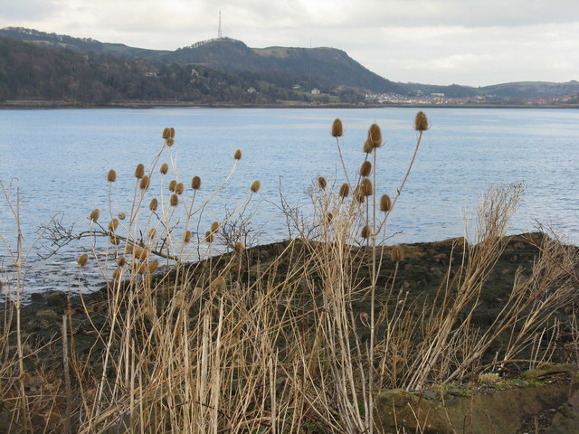
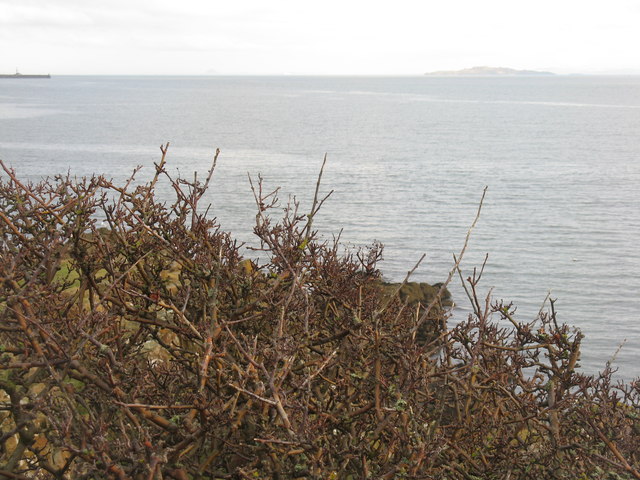
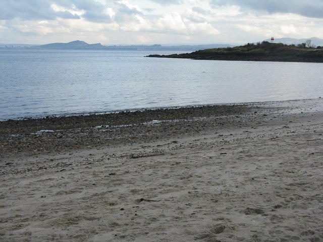
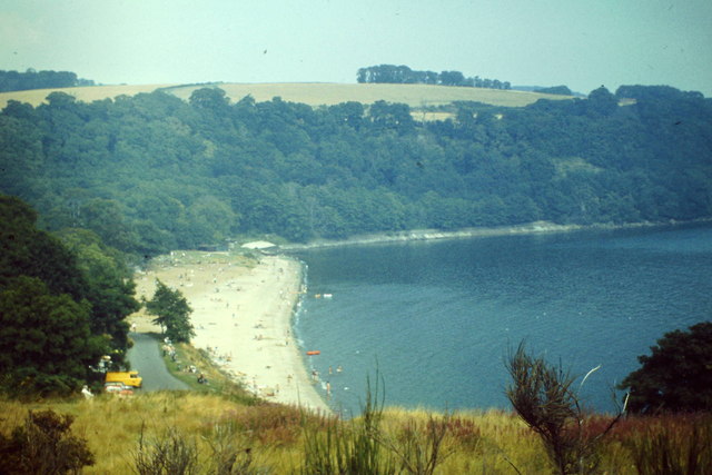
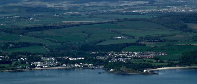
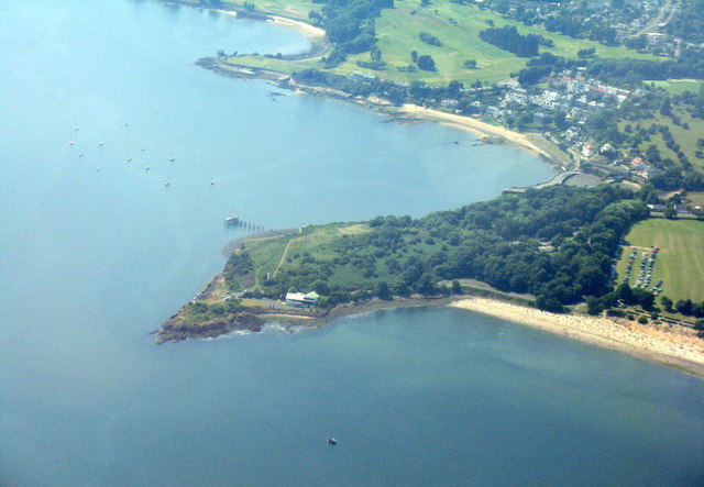
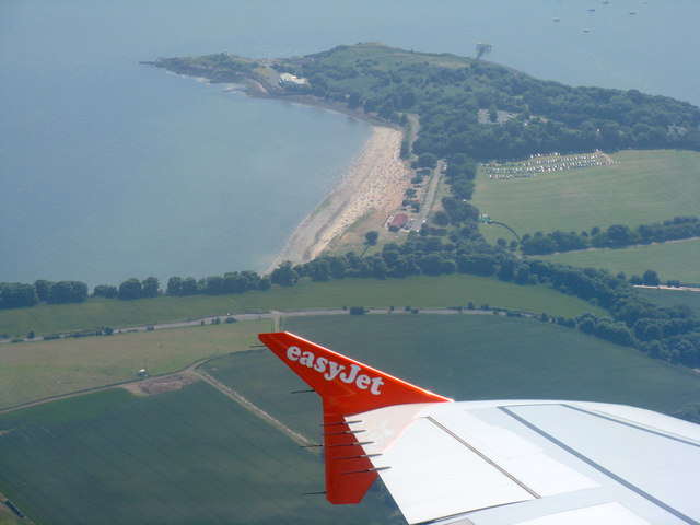
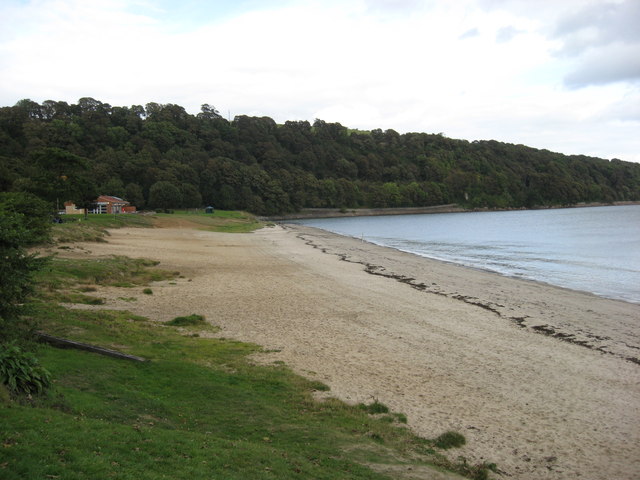
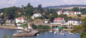
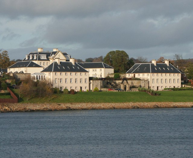
Barnhill Bay is a picturesque bay located on the east coast of Scotland, in the region of Fife. Situated just a few miles north of the town of Leven, this bay offers breathtaking views and a tranquil atmosphere.

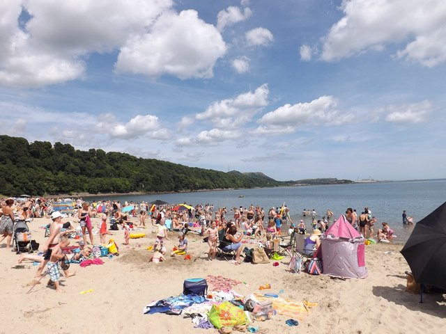
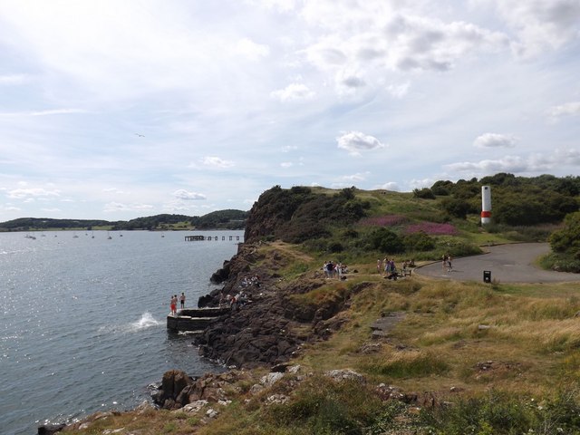
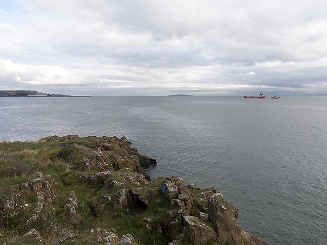
The bay is nestled between two headlands and stretches for approximately half a mile, with golden sandy beaches and crystal-clear waters. It is a popular destination for locals and tourists alike, particularly during the summer months when visitors can enjoy swimming, sunbathing, and picnicking on the beach.

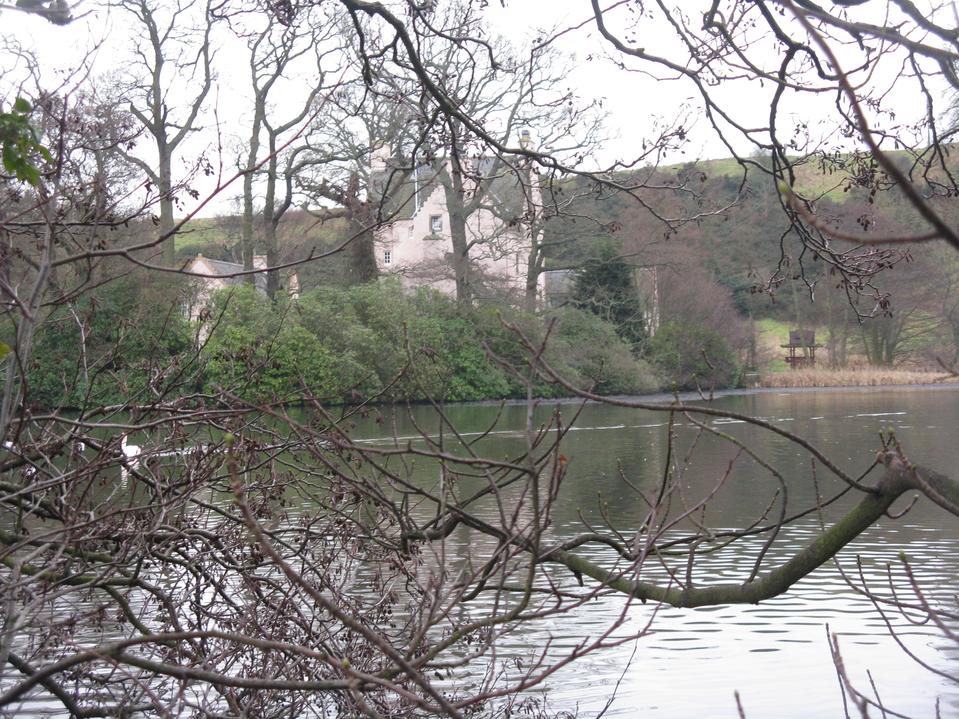
Barnhill Bay is also known for its diverse wildlife and natural beauty. The bay is home to a variety of bird species, including oystercatchers, curlews, and sandpipers, making it a haven for birdwatching enthusiasts. The area surrounding the bay is rich in flora and fauna, with wildflowers and sea grasses adding to its charm.

For those who enjoy water sports, Barnhill Bay provides the ideal conditions for activities such as windsurfing, sailing, and kayaking. The bay's calm waters and gentle breezes make it a safe and enjoyable spot for beginners and experienced enthusiasts alike.

In addition to its natural attractions, Barnhill Bay is also conveniently located near several amenities. There is a car park nearby, as well as public toilets and a café, ensuring that visitors have all the necessary facilities for a day out by the sea.

Overall, Barnhill Bay is a hidden gem in Fife, offering a peaceful retreat with stunning scenery, abundant wildlife, and a range of recreational activities for all to enjoy.

If you have any feedback on the listing, please let us know in the comments section below.
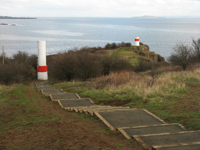
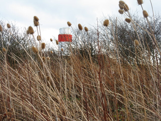
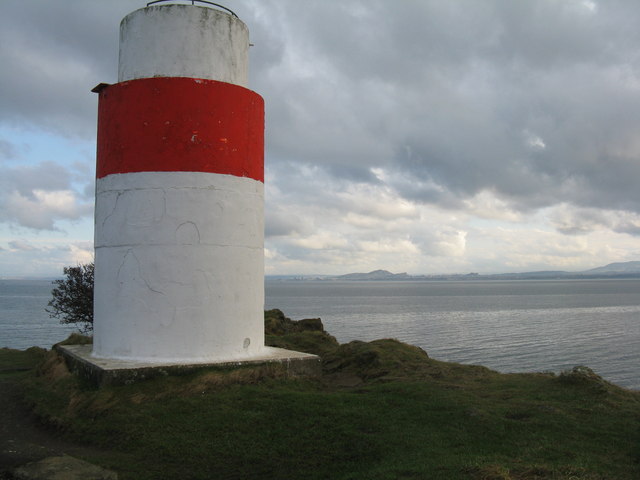
Barnhill Bay Images

Images are sourced within 2km of 56.042899/-3.3083535 or Grid Reference NT1884. Thanks to Geograph Open Source API. All images are credited.

Beacons at Hawkcraig Point Apparently used by tankers coming into the Braehead Oil Terminal. The new steps are part of the Fife Coastal Path heading east from Aberdour to Burntisland.
Beacons at Hawkcraig Point
Apparently used by tankers coming into the Braehead Oil Terminal. The new steps are part of the Fife Coastal Path heading east from Aberdour to Burntisland.
Teasels at Hawkcraig Point With one of the two navigation beacons for Braefoot behind.
Teasels at Hawkcraig Point
With one of the two navigation beacons for Braefoot behind.
Hawkcraig and teasels Looking across Silversands Bay to the transmitter on The Binn, beyond Burntisland.
Hawkcraig and teasels
Looking across Silversands Bay to the transmitter on The Binn, beyond Burntisland.
Beacon at Hawkcraig Point One of two to assist tankers heading for Braefoot Oil Terminal. With Edinburgh and Arthurs seat 14 km across the Firth of Forth.
Beacon at Hawkcraig Point
One of two to assist tankers heading for Braefoot Oil Terminal. With Edinburgh and Arthurs seat 14 km across the Firth of Forth.
Wind-batterd hawthorn at Hawkcraig Point With Inchkeith in the distance.
Wind-batterd hawthorn at Hawkcraig Point
With Inchkeith in the distance.
Hawkcraig Point from Silversands Looking across the Firth of Forth to Edinburgh.
Hawkcraig Point from Silversands
Looking across the Firth of Forth to Edinburgh.
Silversands Bay Popular east-facing beach on the Firth of Forth at Aberdour.
<span class="nowrap"><a title="http://en.wikipedia.org/wiki/Aberdour" rel="nofollow ugc noopener" href="http://en.wikipedia.org/wiki/Aberdour">Link</a><img style="margin-left:2px;" alt="External link" title="External link - shift click to open in new window" src="https://s1.geograph.org.uk/img/external.png" width="10" height="10"/></span>
Silversands Bay
Popular east-facing beach on the Firth of Forth at Aberdour. LinkExternal link
Aberdour from the air Hawkcraig Point is prominent, with Aberdour beyond and Wester Aberdour to the left.
Aberdour from the air
Hawkcraig Point is prominent, with Aberdour beyond and Wester Aberdour to the left.
Silversands Bay, Aberdour Absolutely mobbed today due to temperatures reaching 27 degrees Celsius.
Silversands Bay, Aberdour
Absolutely mobbed today due to temperatures reaching 27 degrees Celsius.
Hawk Craig from Hawkcraig Point The southernmost point at Silversands.
Hawk Craig from Hawkcraig Point
The southernmost point at Silversands.
Hawk Craig from above Burntisland With Aberdour beach and harbour beyond.
Hawk Craig from above Burntisland
With Aberdour beach and harbour beyond.
Silversands Bay Looking south from above Torry Hill, with Hawkcraig Point at the other end of the bay. A busy Thursday afternoon on the beach in the school holidays.
Silversands Bay
Looking south from above Torry Hill, with Hawkcraig Point at the other end of the bay. A busy Thursday afternoon on the beach in the school holidays.
Silversands Beach - Aberdour This beach reputedly has a blue flag and is renowned for good bathing.  The water looked pretty cold when I passed by.
Silversands Beach - Aberdour
This beach reputedly has a blue flag and is renowned for good bathing. The water looked pretty cold when I passed by.
The Happy Harrier The LPG tanker Happy Harrier, recently departed from Braefoot gas terminal (see Geograph image <a href="https://www.geograph.org.uk/photo/3679531">NT1883 : Gas terminal, Braefoot Bay</a>) en route for Port Jerome in France. The 3595 gross tonnes Happy Harrier was constructed in Tokyo, Japan in 1988 and is owned by Bsm-UK of Newcastle upon Tyne.
The Happy Harrier
The LPG tanker Happy Harrier, recently departed from Braefoot gas terminal (see Geograph image NT1883 : Gas terminal, Braefoot Bay) en route for Port Jerome in France. The 3595 gross tonnes Happy Harrier was constructed in Tokyo, Japan in 1988 and is owned by Bsm-UK of Newcastle upon Tyne.
View over Hawkcraig Point A view from Hawkcraig Point, with docks at Burntisland visible in the distance. The lpg tanker Happy Harrier can be seen in the Forth estuary having recently departed from Braefoot gas terminal en route for Port Jerome in France. For detail view see: <a href="https://www.geograph.org.uk/photo/3684534">NT2083 : The Happy Harrier</a>
View over Hawkcraig Point
A view from Hawkcraig Point, with docks at Burntisland visible in the distance. The lpg tanker Happy Harrier can be seen in the Forth estuary having recently departed from Braefoot gas terminal en route for Port Jerome in France. For detail view see: NT2083 : The Happy Harrier
View over Black Sands at Aberdour from Hawkcraig Point
Lighthouse beacon at Hawkscraig Point
Beach, Silversands Bay Near high water.
Beach, Silversands Bay
Near high water.
Show me another place!

Barnhill Bay is located at Grid Ref: NT1884 (Lat: 56.042899, Lng: -3.3083535)

Unitary Authority: Fife

Police Authority: Fife

What 3 Words

///than.strapping.rivers. Near Aberdour, Fife

Related Wikis

Nearby Amenities

Located within 500m of 56.042899,-3.3083535
Barnhill Bay
Natural: bay
Source: OS_OpenData_StreetView
Lat/Long: 56.0431187/-3.3079786
Monks' Cave
Archaeological Site: settlement
Historic: archaeological_site
Source: survey
Lat/Long: 56.0392476/-3.3082768
Turning Circle
Lat/Long: 56.0401481/-3.3078088
Source: survey;bing
Lat/Long: 56.0399061/-3.3074288
Source: survey;bing
Lat/Long: 56.039911/-3.3073586
Source: survey;bing
Lat/Long: 56.0399226/-3.3073449
Source: survey;bing
Lat/Long: 56.0399352/-3.307348
Source: survey;bing
Lat/Long: 56.0399383/-3.3074361
Source: survey;bing
Lat/Long: 56.0399432/-3.3073658
Charles Hill
Natural: peak
Lat/Long: 56.04012/-3.3084635
Public Bookcase
Check Date: 2023-08-06
Lit: no
Public Bookcase Type: wooden_cabinet
Lat/Long: 56.0452347/-3.3144883
Golf: pin
Lat/Long: 56.0452833/-3.3061835
Golf: pin
Lat/Long: 56.0458431/-3.308145
Golf: pin
Lat/Long: 56.0444278/-3.311755
Golf: pin
Lat/Long: 56.0429223/-3.3126209
Golf: pin
Lat/Long: 56.0433424/-3.3134978
Golf: pin
Lat/Long: 56.0404481/-3.3110628
The data included in this document is from www.openstreetmap.org. The data is made available under ODbL.

Have you been to Barnhill Bay?

Leave your review of Barnhill Bay below (or comments, questions and feedback).