Port Mòr
Bay in Caithness
Scotland
Port Mòr
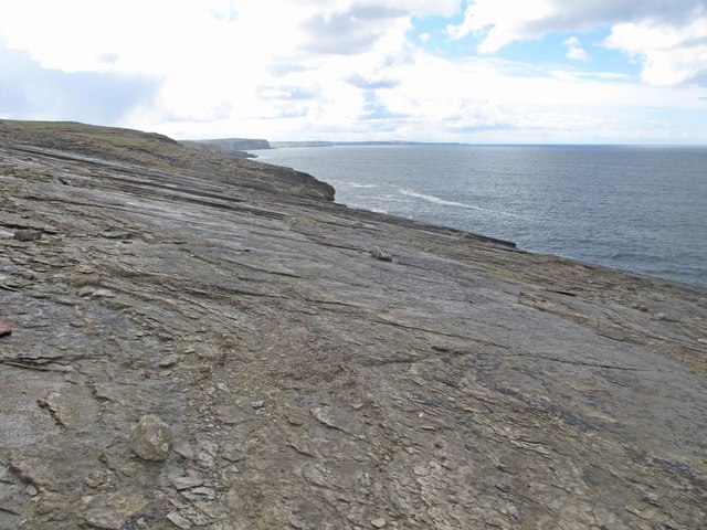
Port Mòr, Caithness (Bay) is a picturesque coastal village located on the north coast of Scotland. Situated in the county of Caithness, it is nestled between the towns of Thurso and Wick. The village is renowned for its stunning natural beauty, with a bay that offers breathtaking views of the North Sea.
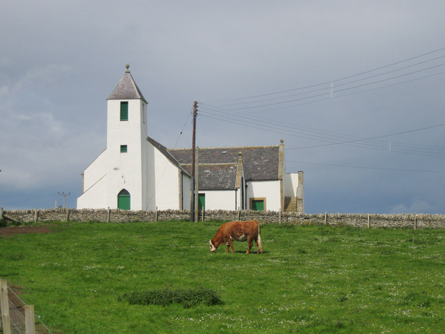
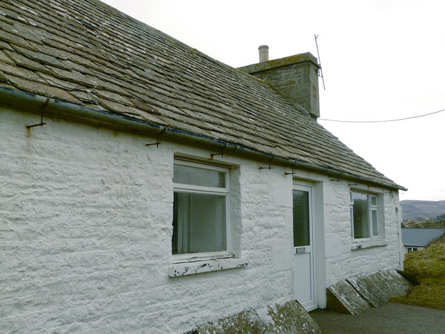
Port Mòr has a small population, consisting mainly of residents who are attracted to the tranquility and charm of coastal living. The village is characterized by its traditional Scottish architecture, with quaint cottages and houses lining the streets. The community is tight-knit and welcoming, reflecting the warmth and friendliness of the Scottish people.
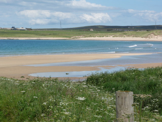
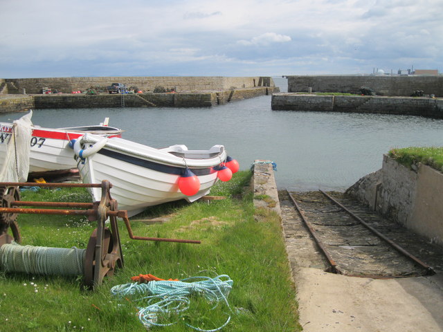
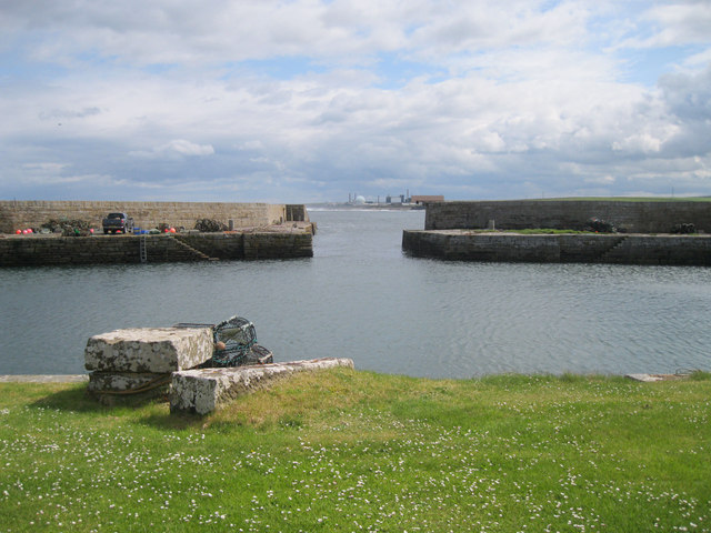
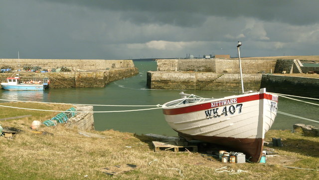
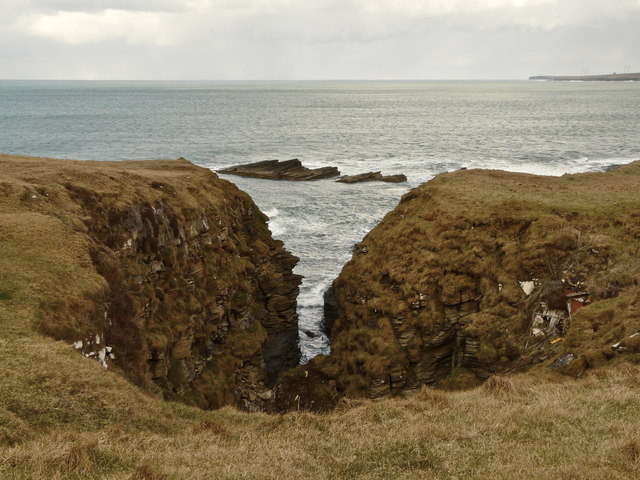
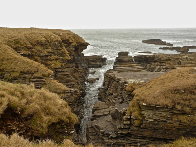
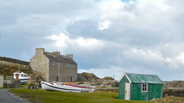
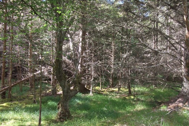
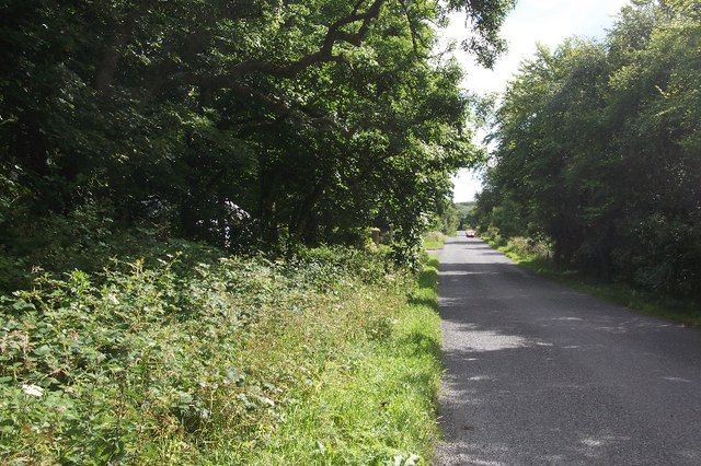
The bay itself is a popular attraction for both locals and tourists alike. Its sandy beach stretches for miles, providing the perfect spot for leisurely walks or picnics. The bay is also frequented by fishing enthusiasts, who can be seen casting their lines in search of mackerel or cod. Birdwatchers are drawn to Port Mòr due to its proximity to important seabird colonies, making it an excellent destination for spotting a variety of species.
In addition to its natural beauty, Port Mòr offers a range of amenities to cater to residents and visitors. There are several local shops, cafes, and pubs where one can enjoy a meal or a drink while taking in the idyllic surroundings. The village also hosts various events and festivals throughout the year, showcasing the rich cultural heritage and traditions of the area.
Overall, Port Mòr, Caithness (Bay) is a charming coastal village that offers a peaceful retreat for those seeking natural beauty and a close-knit community. With its stunning bay, friendly locals, and range of amenities, it is a must-visit destination for anyone exploring the Scottish north coast.
If you have any feedback on the listing, please let us know in the comments section below.
Port Mòr Images
Images are sourced within 2km of 58.56607/-3.7921603 or Grid Reference NC9565. Thanks to Geograph Open Source API. All images are credited.
Port Mòr is located at Grid Ref: NC9565 (Lat: 58.56607, Lng: -3.7921603)
Unitary Authority: Highland
Police Authority: Highlands and Islands
What 3 Words
///tempting.gazette.computers. Near Reay, Highland
Related Wikis

Fresgoe
Fresgoe is the main harbour for the village of Reay, overlooking Sandside Bay in Caithness in the Scottish highlands. It was built in the early 1830s,...

Sandside Chase
The Sandside Chase (The Chase of Sandside, The Chase of Sansett; in Gaelic, Ruoig-Hansett, Ruaig Handside or Ruaig-Shansaid) was a Scottish clan battle...

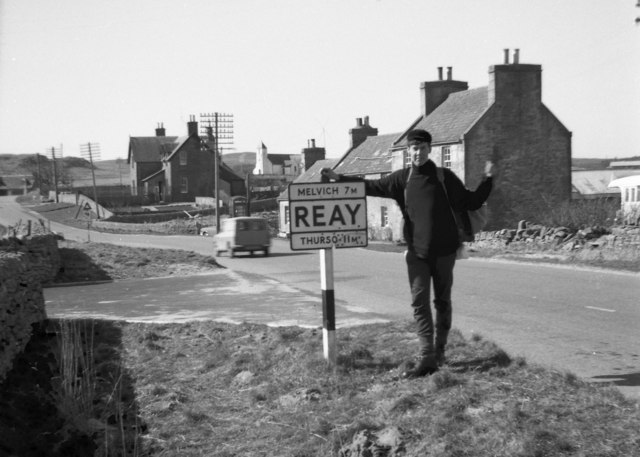
Reay
Reay (Scottish Gaelic: Ràth) is a village which has grown around Sandside Bay on the north coast of the Highland council area of Scotland. It is within...

Reay Parish Church
Reay Parish Church is a Church of Scotland parish church serving Reay, Caithness. It is one of the most northerly communities on the Scottish mainland...
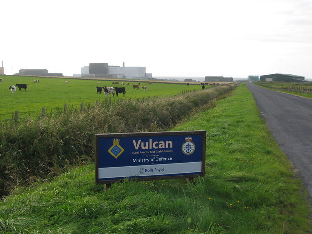
Vulcan Naval Reactor Test Establishment
Vulcan Naval Reactor Test Establishment (NRTE), formerly HMS Vulcan, is a UK Ministry of Defence (MoD) establishment in Scotland, operated by Rolls-Royce...

Dounreay Castle
Dounreay Castle is a ruined 16th-century L-plan castle, about 8 miles (13 km) west of Thurso, Highland (council area), Scotland, within the grounds of...

Achvarasdal
Achvarasdal (from the Norse placename meaning "Barr's valley", with the later, post 13th century addition of the Gaelic Ach-/Achadh- meaning "field") is...

Dounreay
Dounreay (; Scottish Gaelic: Dùnrath) is a small settlement and the site of two large nuclear establishments on the north coast of Caithness in the Highland...
Nearby Amenities
Located within 500m of 58.56607,-3.7921603Have you been to Port Mòr?
Leave your review of Port Mòr below (or comments, questions and feedback).