Shell Cove
Bay in Devon
England
Shell Cove

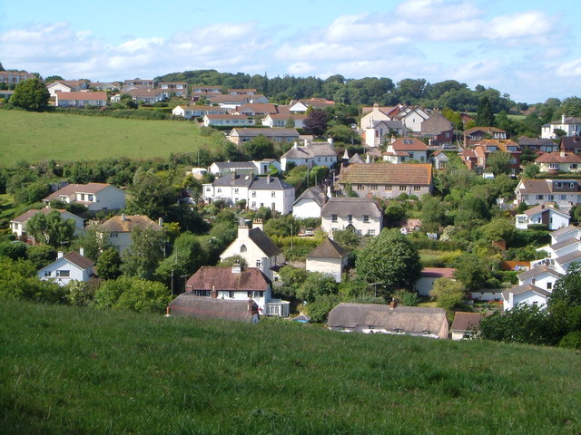
Shell Cove, Devon Bay, is a picturesque coastal town located in the county of Devon, southwest England. Situated on the southeastern edge of the county, Shell Cove offers stunning views of the English Channel and is known for its natural beauty and charming atmosphere.
The town itself is characterized by its quaint, colorful cottages and narrow, winding streets. It is a popular destination for both locals and tourists, who are drawn to its idyllic beaches and rugged cliffs. Shell Cove boasts several sandy beaches, which are perfect for sunbathing, swimming, and beachcombing. The clear, blue waters of the bay also make it a popular spot for water sports enthusiasts, such as surfers and kayakers.
One of the main attractions in Shell Cove is the picturesque harbor, which is lined with fishing boats and yachts. The harbor is a hub of activity, with fishermen bringing in their catch of the day and visitors enjoying the fresh seafood at the local restaurants. Shell Cove is renowned for its delicious seafood, with locally caught fish and shellfish being a specialty.
For nature lovers, Shell Cove offers plenty of opportunities for exploration. The surrounding cliffs and coastal paths provide breathtaking views and are ideal for hiking and birdwatching. The area is also home to a variety of wildlife, including seals, dolphins, and seabirds.
With its stunning coastal scenery, charming atmosphere, and abundance of outdoor activities, Shell Cove, Devon Bay, is a must-visit destination for anyone seeking a quintessential English seaside experience.
If you have any feedback on the listing, please let us know in the comments section below.
Shell Cove Images
Images are sourced within 2km of 50.571014/-3.4683034 or Grid Reference SX9675. Thanks to Geograph Open Source API. All images are credited.


Shell Cove is located at Grid Ref: SX9675 (Lat: 50.571014, Lng: -3.4683034)
Administrative County: Devon
Police Authority: Devon and Cornwall
What 3 Words
///boots.windows.extremely. Near Dawlish, Devon
Nearby Locations
Related Wikis

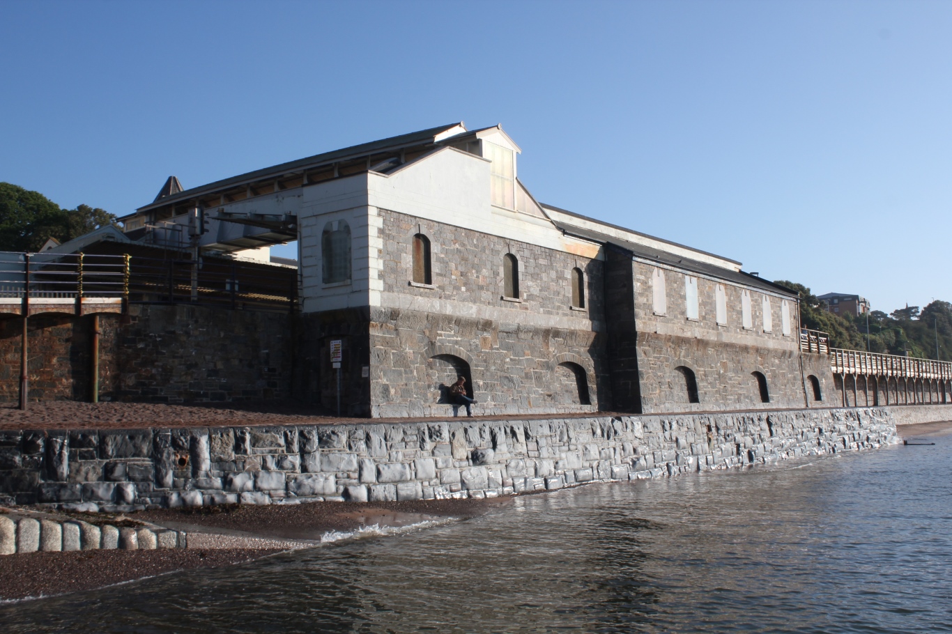
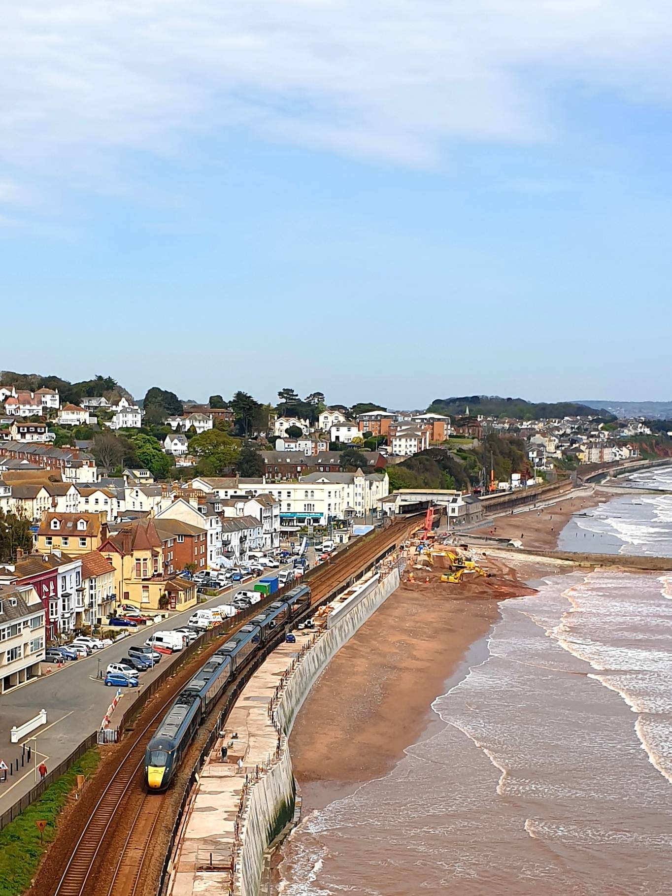
South Devon Railway sea wall
The South Devon Railway sea wall is situated on the south coast of Devon in England. A footpath runs alongside the railway between Dawlish Warren and Dawlish...
Holcombe, Teignbridge
Holcombe is a small village in the south of Devon, England, situated between the much larger coastal towns of Teignmouth and Dawlish. The village has very...
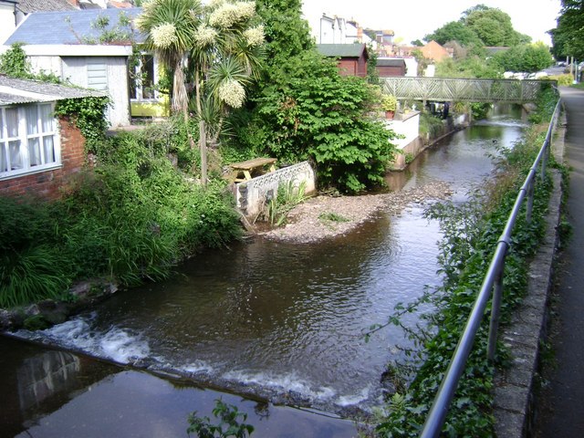
Dawlish Water
Dawlish Water is a minor coastal stream which flows through Devon, England.Dawlish Water, also known as “The Brook”, rises on the eastern slopes of Haldon...
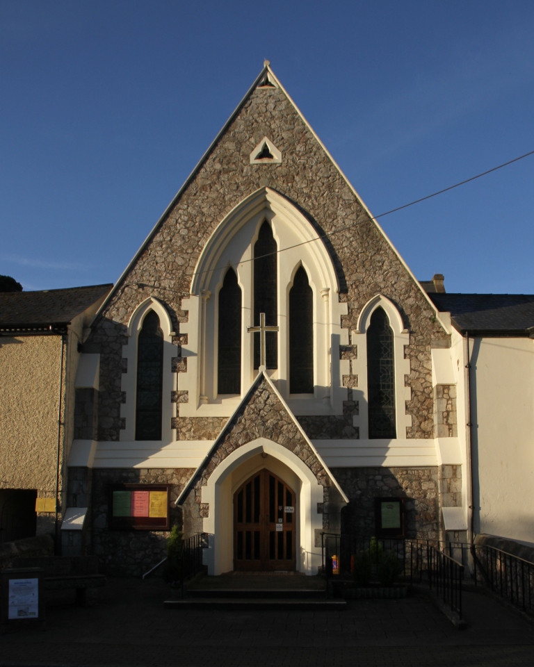
Dawlish Methodist Church
Dawlish Methodist Church is located on Brunswick Street in the town of Dawlish, Devon, England. It belongs to the circuit of Teignbridge. == History... ==
Dawlish railway station
Dawlish railway station is on the Exeter to Plymouth line and serves the seaside resort town of Dawlish in Devon, England. It is located 206 miles 7 chains...
Dawlish
Dawlish is an English seaside resort town and civil parish in Teignbridge on the south coast of Devon; it is located 12 miles (19 km) from the county...
Dawlish College
Dawlish College (formerly Dawlish Community College) is a coeducational secondary school located in the town of Dawlish, Devon, England. Its students come...

Oakwood Court College
Oakwood provides a specialist provision for young people aged 16 – 25 years, designed to meet the needs of those with Learning difficulties and disabilities...
Nearby Amenities
Located within 500m of 50.571014,-3.4683034Have you been to Shell Cove?
Leave your review of Shell Cove below (or comments, questions and feedback).