Porth Neugwl
Bay in Anglesey
Wales
Porth Neugwl
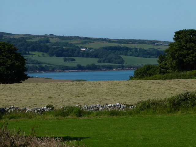
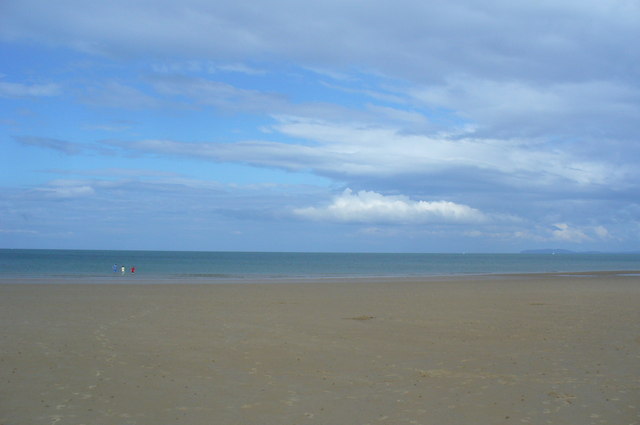
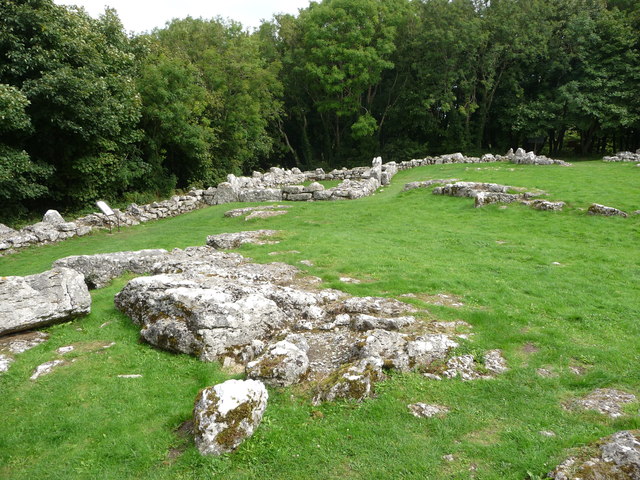
Porth Neigwl, also known as Hell's Mouth, is a picturesque bay located on the western coast of Anglesey, an island off the northwest coast of Wales. Stretching approximately four miles in length, it is renowned for its stunning natural beauty and is a popular destination for visitors seeking a tranquil seaside experience.
The bay's unique name, Hell's Mouth, can be traced back to its treacherous waters and strong currents, which have led to numerous shipwrecks in the past. However, despite its ominous name, Porth Neigwl offers a safe and idyllic environment for beachgoers and water sports enthusiasts.
The beach at Porth Neigwl consists of golden sands, making it an ideal spot for sunbathing and picnicking. The bay is also well-known for its excellent surfing conditions, attracting surfers from across the region. The consistent Atlantic swells and favorable winds provide ideal waves for both beginners and experienced surfers.
Surrounded by rolling hills and cliffs, Porth Neigwl offers breathtaking views of the Irish Sea and the rugged coastline of Anglesey. The area is abundant in wildlife, with various bird species often spotted along the bay, including gulls, fulmars, and cormorants.
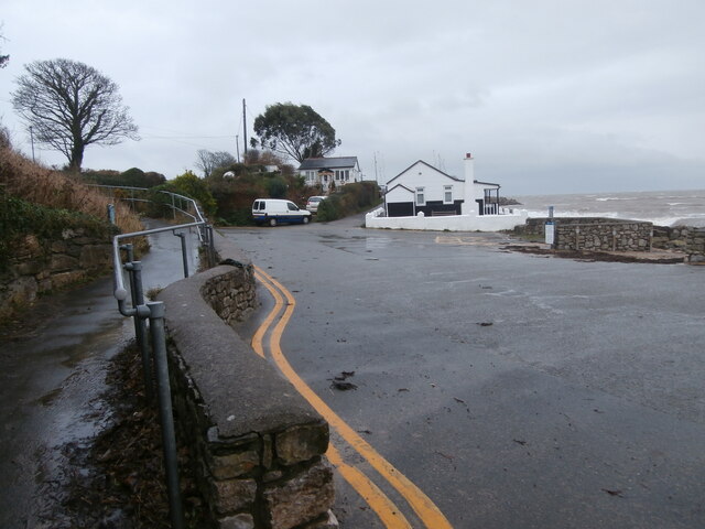
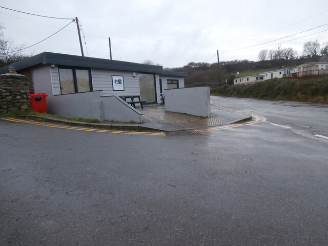
Facilities at Porth Neigwl include a car park, public toilets, and a café nearby. The bay is easily accessible by road, with a well-maintained coastal path providing opportunities for scenic walks and hikes.
Overall, Porth Neigwl is a captivating destination that combines natural beauty, thrilling water sports, and a touch of maritime history, making it a must-visit location for nature enthusiasts and beach lovers alike.
If you have any feedback on the listing, please let us know in the comments section below.
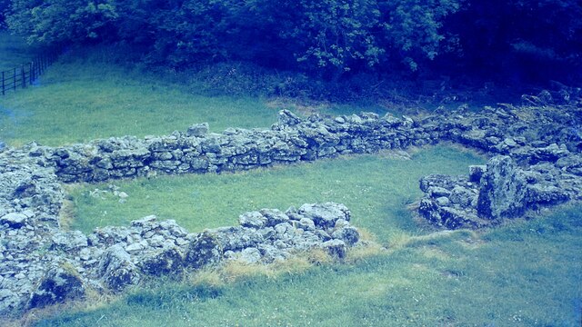
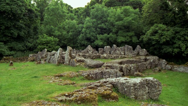
Porth Neugwl Images
Images are sourced within 2km of 53.352964/-4.2337258 or Grid Reference SH5186. Thanks to Geograph Open Source API. All images are credited.

Porth Neugwl is located at Grid Ref: SH5186 (Lat: 53.352964, Lng: -4.2337258)
Unitary Authority: Isle of Anglesey
Police Authority: North Wales
What 3 Words
///rushed.foil.bypassed. Near Moelfre, Isle of Anglesey
Nearby Locations
Related Wikis

Moelfre, Anglesey
Moelfre ([ˈmɔɨ̯lvrɛ] ) is a village, a community and, until 2012, an electoral ward on the north-east coast of the Isle of Anglesey in Wales. The community...
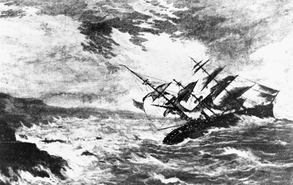
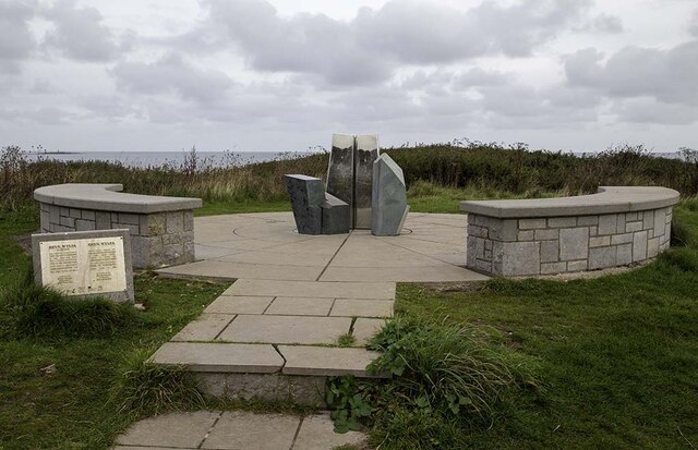
Royal Charter Storm
The Royal Charter Storm (also known as the Great storm of 1859) of 25 and 26 October 1859 was considered to be the most severe storm to hit the Irish Sea...

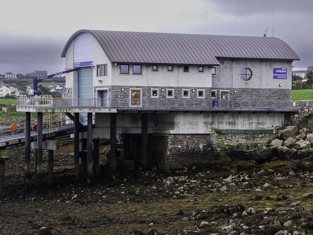
Moelfre Lifeboat Station
Moelfre Lifeboat Station is located in the village of Moelfre, on the north east coast of Anglesey, Wales. A lifeboat was first stationed here in 1848...

Ynys Moelfre
Ynys Moelfre (Welsh for 'Moelfre Island') is a small island off the coast of Anglesey, Wales. At low tide it has a maximum length of 261 metres and a maximum...
Nearby Amenities
Located within 500m of 53.352964,-4.2337258Have you been to Porth Neugwl?
Leave your review of Porth Neugwl below (or comments, questions and feedback).