Porth Lydan
Bay in Anglesey
Wales
Porth Lydan
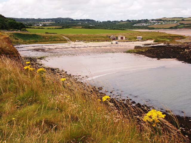
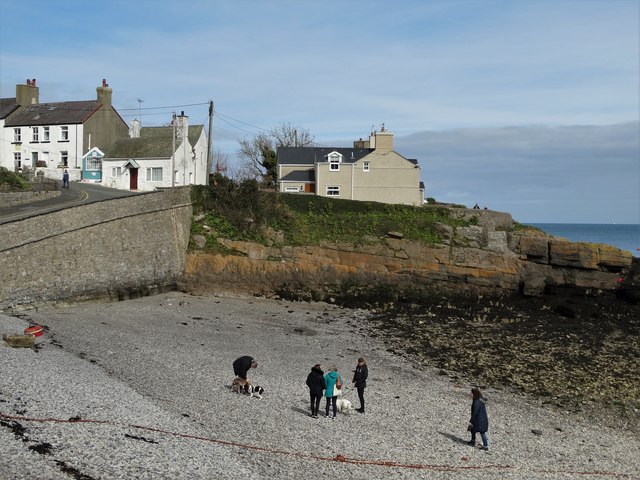
Porth Lydan is a picturesque bay located on the northwestern coast of Anglesey, an island off the coast of northwest Wales. It is situated between the villages of Rhosneigr and Aberffraw, and is known for its stunning sandy beach and crystal-clear waters.
The bay is a popular destination for beachgoers and water sports enthusiasts, offering a wide range of activities such as swimming, surfing, windsurfing, and paddleboarding. The beach is relatively spacious and stretches for approximately 2 miles, providing ample room for visitors to relax and enjoy the scenery.
Porth Lydan is surrounded by magnificent cliffs, providing a dramatic backdrop to the beach. The cliffs also offer opportunities for coastal walks and birdwatching, as the area is home to various species of seabirds, including guillemots, razorbills, and puffins.
The bay is easily accessible, with a car park located just a short distance from the beach. Facilities such as toilets and a café are available nearby, ensuring visitors have all the necessary amenities.
Porth Lydan is also known for its stunning sunsets, which attract many photographers and nature enthusiasts. The golden hour provides a perfect opportunity to capture the beauty of the bay and its surroundings.
Overall, Porth Lydan is a charming and tranquil bay, offering visitors the chance to unwind and connect with nature in a stunning coastal setting.
If you have any feedback on the listing, please let us know in the comments section below.
Porth Lydan Images
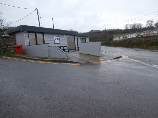
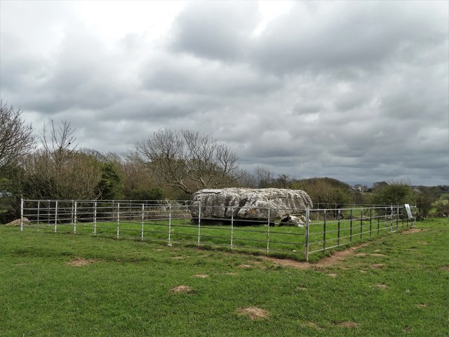
Images are sourced within 2km of 53.355/-4.2310974 or Grid Reference SH5186. Thanks to Geograph Open Source API. All images are credited.


Porth Lydan is located at Grid Ref: SH5186 (Lat: 53.355, Lng: -4.2310974)
Unitary Authority: Isle of Anglesey
Police Authority: North Wales
What 3 Words
///galloped.crimson.wedding. Near Moelfre, Isle of Anglesey
Nearby Locations
Related Wikis

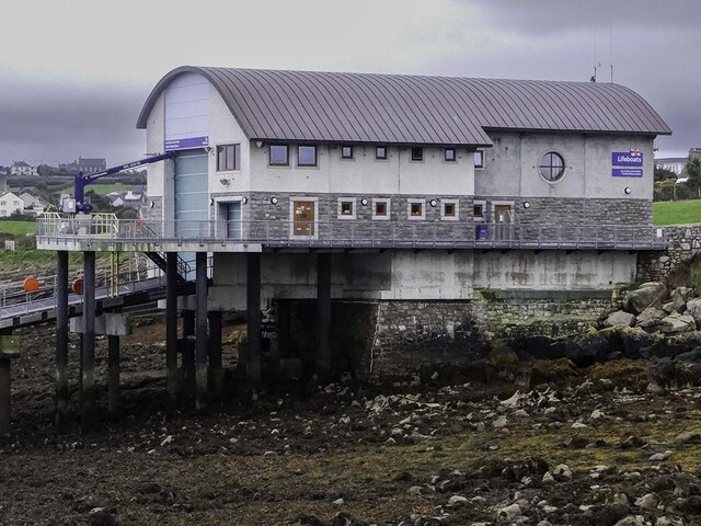
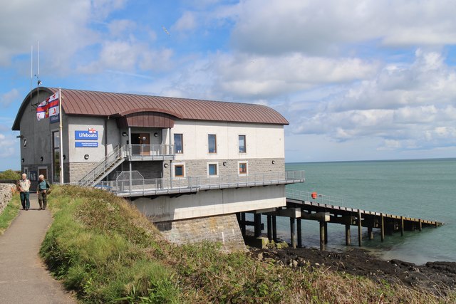
Moelfre Lifeboat Station
Moelfre Lifeboat Station is located in the village of Moelfre, Anglesey and is run by the Royal National Lifeboat Institution. The present boathouse became...
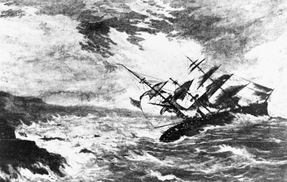
Royal Charter Storm
The Royal Charter Storm (also known as the Great storm of 1859) of 25 and 26 October 1859 was considered to be the most severe storm to hit the Irish Sea...

Moelfre, Anglesey
Moelfre ([ˈmɔɨ̯lvrɛ] ) is a village, a community and, until 2012, an electoral ward on the north-east coast of the Isle of Anglesey in Wales. The community...

Ynys Moelfre
Ynys Moelfre (Welsh for 'Moelfre Island') is a small island off the coast of Anglesey, Wales. At low tide it has a maximum length of 261 metres and a maximum...
Nearby Amenities
Located within 500m of 53.355,-4.2310974Have you been to Porth Lydan?
Leave your review of Porth Lydan below (or comments, questions and feedback).