South Bay
Bay in Ayrshire
Scotland
South Bay
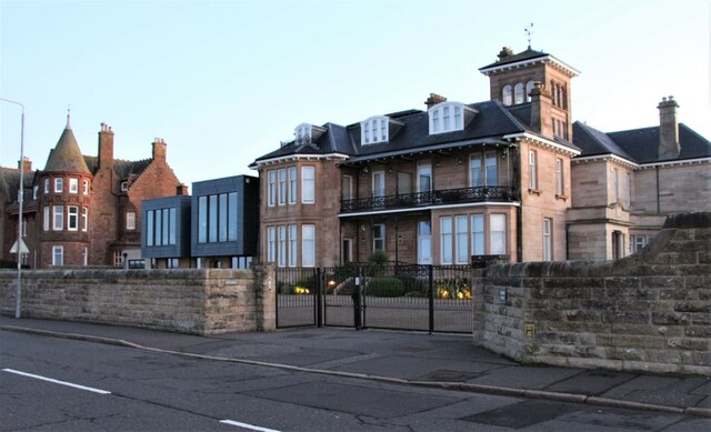
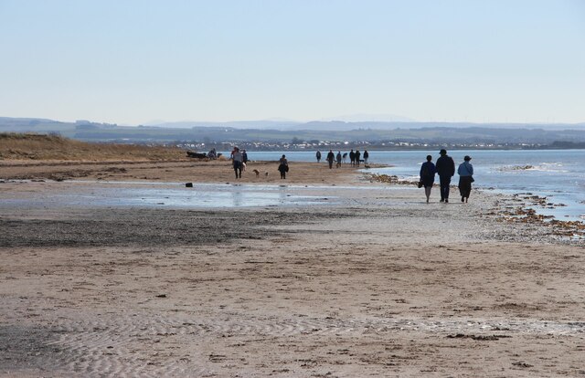
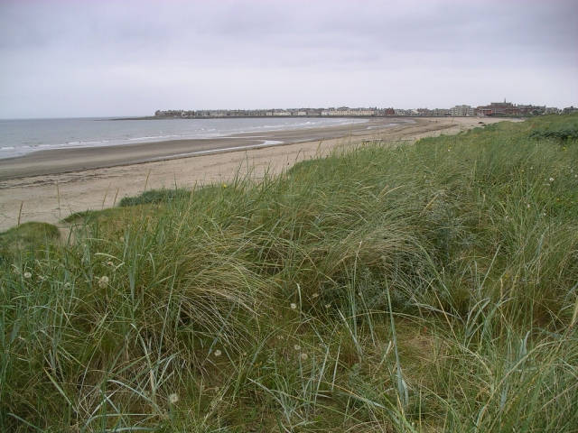
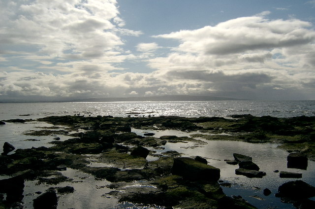
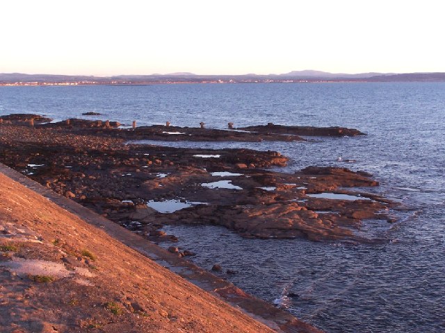
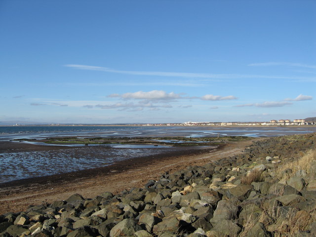
South Bay, Ayrshire, also known as Bay, is a picturesque coastal town located in South Ayrshire, Scotland. Situated on the west coast, it sits about 40 miles southwest of Glasgow and approximately 5 miles south of Ayr, the largest town in the area. South Bay is renowned for its stunning sandy beach, making it a popular tourist destination during the summer months.
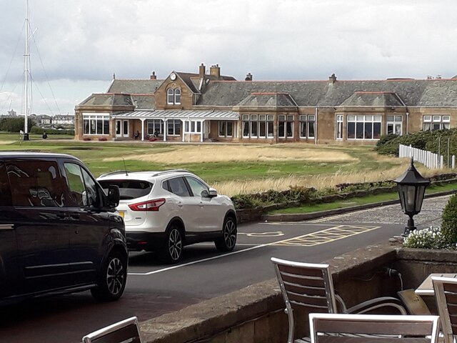
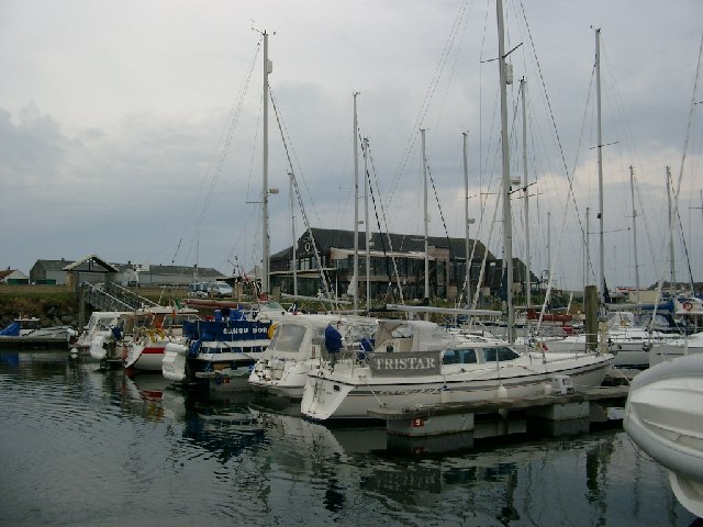
The town is surrounded by natural beauty, with rolling hills and a rugged coastline providing a backdrop to the charming town. The beach itself stretches for miles, offering visitors ample space to relax, swim, and enjoy various water sports. The bay is also home to a small harbor, where fishing boats can often be seen coming and going.
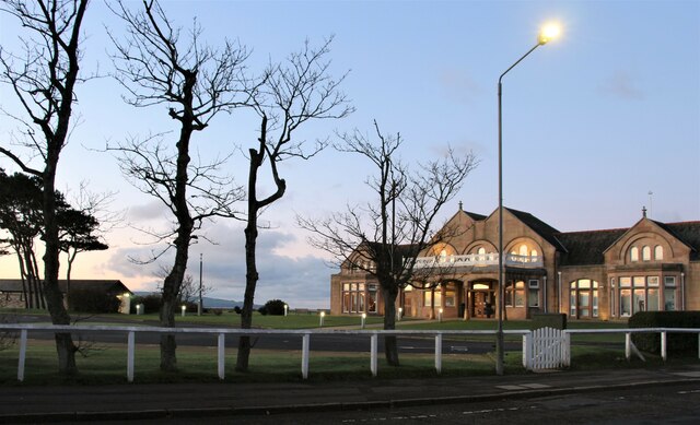
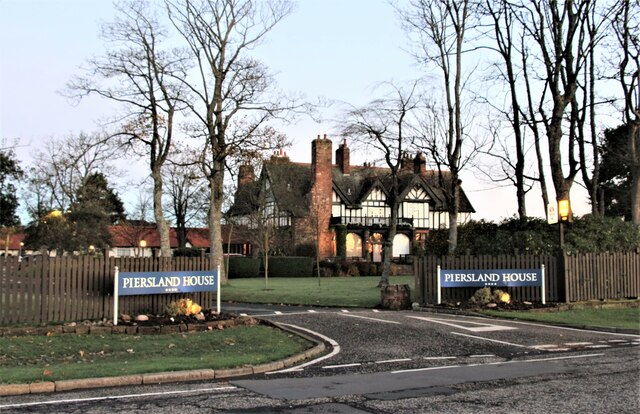
In addition to its natural attractions, South Bay boasts a range of amenities for residents and visitors alike. The town has a selection of shops, cafes, and restaurants, offering a variety of local and international cuisine. There are also several accommodations available, including hotels and guesthouses, providing options for those looking to stay overnight.
South Bay is well-connected to other parts of Ayrshire and beyond, with regular bus services and nearby train stations providing easy access to surrounding areas. The town is also conveniently located near several attractions, such as Culzean Castle and Country Park, which is just a short drive away.
Overall, South Bay, Ayrshire, offers a perfect blend of natural beauty, seaside charm, and modern amenities, making it an ideal destination for both a relaxing getaway and an exploration of the surrounding area.
If you have any feedback on the listing, please let us know in the comments section below.
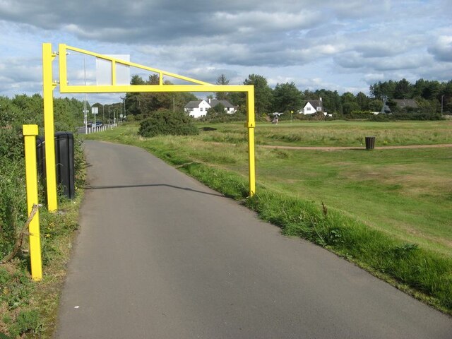
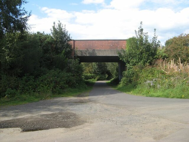
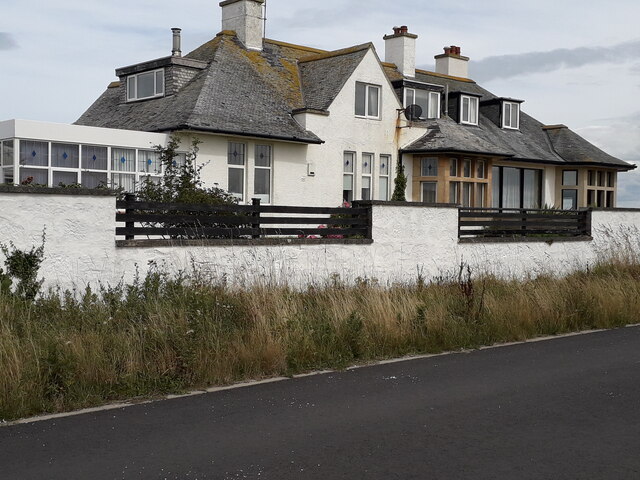
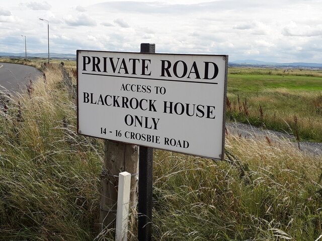
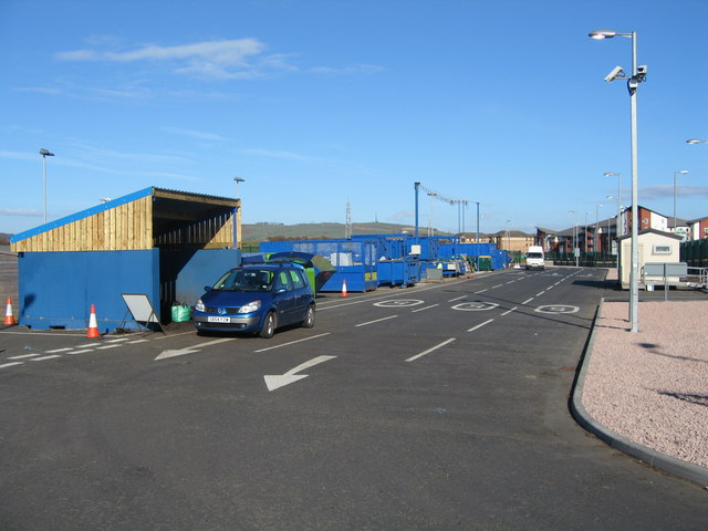
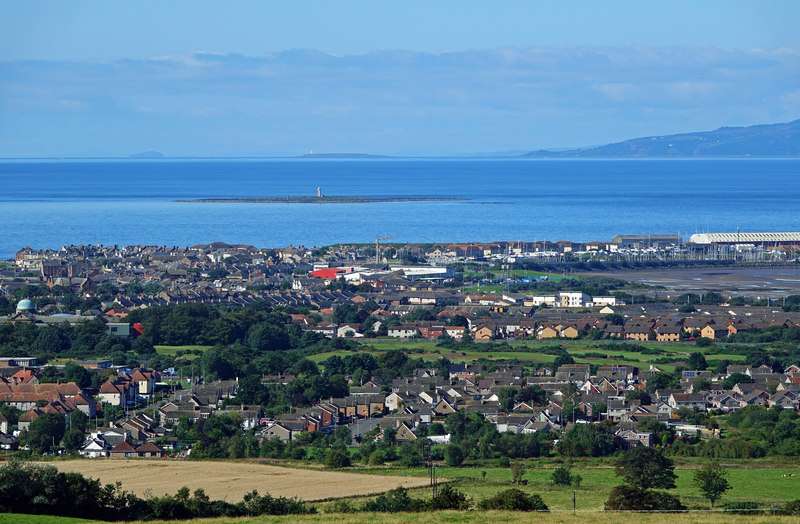
South Bay Images
Images are sourced within 2km of 55.537067/-4.6622986 or Grid Reference NS3230. Thanks to Geograph Open Source API. All images are credited.
![Lady Isle from Troon Am I the only person that thinks [you are allowed to shut one eye] that the lighthouse helps to make the isle look like a submarine??
Maybe if you squint through both eyes it helps.
Arran is on the right horizon!!](https://s1.geograph.org.uk/photos/46/73/467385_81b60042.jpg)
South Bay is located at Grid Ref: NS3230 (Lat: 55.537067, Lng: -4.6622986)
Unitary Authority: South Ayrshire
Police Authority: Ayrshire
What 3 Words
///dice.bristle.imparting. Near Troon, South Ayrshire
Nearby Locations
Related Wikis
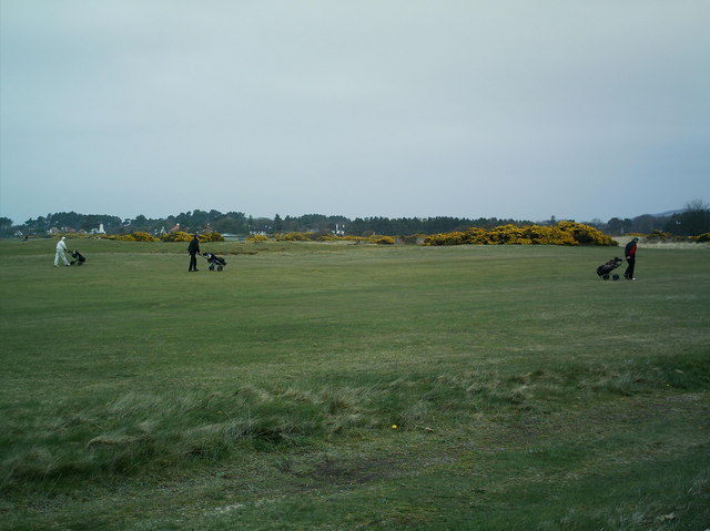
Troon
Troon (Scottish Gaelic: An Truthail / An t-Sròn) is a town and sea port in South Ayrshire, situated on the west coast of Ayrshire in Scotland, about eight...

Troon Town Hall
Troon Town Hall is a municipal building in Ayr Street, Troon, Scotland. The structure, which serves as the meeting place of Troon Community Council, is...

Troon railway station
Troon railway station is a railway station serving the town of Troon, South Ayrshire, Scotland. The station is managed by ScotRail and is on the Ayrshire...

1973 Open Championship
The 1973 Open Championship was the 102nd Open Championship, played 11–14 July at Troon Golf Club in Troon, Scotland. Tom Weiskopf won his only major championship...
1950 Open Championship
The 1950 Open Championship was the 79th Open Championship, held 5–7 July at Troon Golf Club in Troon, South Ayrshire, Scotland. Defending champion Bobby...

2008 Senior Open Championship
The 2008 Senior Open Championship was a senior major golf championship and the 22nd Senior Open Championship, held on 24–27 July at Royal Troon Golf Club...
2004 Open Championship
The 2004 Open Championship was a men's major golf championship and the 133rd Open Championship, held from 15 to 18 July at the Old Course of Royal Troon...
2016 Open Championship
The 2016 Open Championship was a men's major golf championship and the 145th Open Championship, played from 14–17 July at Royal Troon Golf Club in Ayrshire...
Nearby Amenities
Located within 500m of 55.537067,-4.6622986Have you been to South Bay?
Leave your review of South Bay below (or comments, questions and feedback).