Porth Penrhyn-mawr
Bay in Anglesey
Wales
Porth Penrhyn-mawr
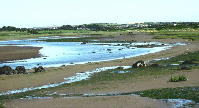
Porth Penrhyn-mawr, located on the north coast of Anglesey, Wales, is a picturesque bay known for its stunning natural beauty. The bay is nestled between rocky cliffs and offers breathtaking views of the surrounding landscape. With its clean sandy beach and crystal-clear waters, it is a popular destination for beachgoers and nature enthusiasts.
The bay is surrounded by cliffs that provide a dramatic backdrop to the beach. These cliffs are home to a variety of bird species, including puffins, gulls, and cormorants, making it a haven for birdwatchers. Visitors can often spot these beautiful creatures perched on the cliffs or soaring above the bay.
Porth Penrhyn-mawr is also an excellent spot for water activities. The calm, sheltered waters are perfect for swimming and paddling, making it a great place for families. The bay is also ideal for kayaking and stand-up paddleboarding, with plenty of opportunities to explore the coastline and nearby caves.
For those who prefer to keep their feet on dry land, Porth Penrhyn-mawr offers fantastic walking and hiking opportunities. The bay is part of the Anglesey Coastal Path, which stretches 125 miles around the entire island. Visitors can enjoy leisurely strolls along the beach or embark on more challenging hikes along the cliffs, taking in the panoramic views of the bay and the Irish Sea.
Overall, Porth Penrhyn-mawr is a hidden gem on the Anglesey coastline, offering a tranquil and picturesque retreat for those seeking natural beauty and outdoor activities.
If you have any feedback on the listing, please let us know in the comments section below.
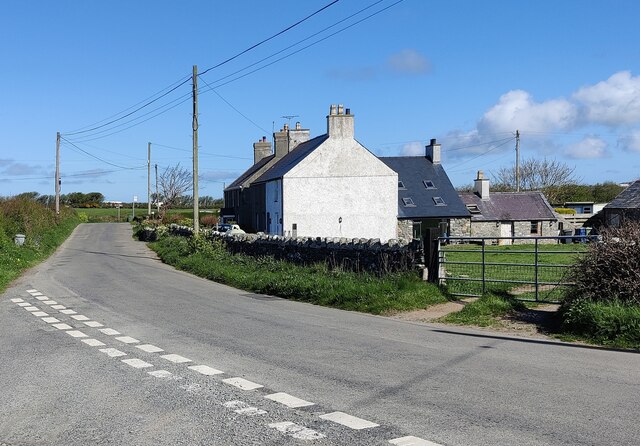
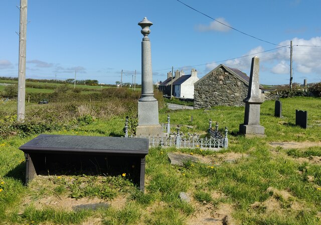
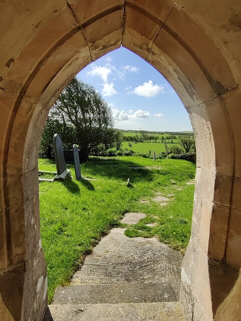
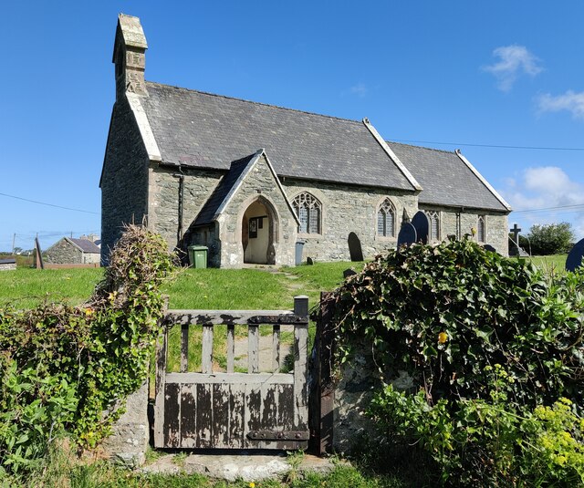
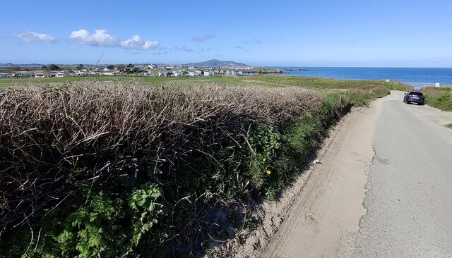
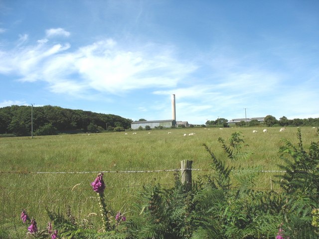
Porth Penrhyn-mawr Images
Images are sourced within 2km of 53.321978/-4.5741879 or Grid Reference SH2883. Thanks to Geograph Open Source API. All images are credited.
Porth Penrhyn-mawr is located at Grid Ref: SH2883 (Lat: 53.321978, Lng: -4.5741879)
Unitary Authority: Isle of Anglesey
Police Authority: North Wales
What 3 Words
///providing.tenses.leaky. Near Llanfachraeth, Isle of Anglesey
Nearby Locations
Related Wikis

Llanfwrog, Anglesey
Llanfwrog is a village in Anglesey, in north-west Wales. It lies about 4 miles (6.4 km) to the northeast of Holyhead. The village lies near the coast about...
Penrhos, Anglesey
Penrhos was a large estate on Holy Island, Anglesey, in north-west Wales. == History == In 1553, during Edward VI's reign, Penrhos was granted to John...
Afon Alaw
The Afon Alaw (English: River Alaw) is a river on Anglesey (Welsh: Ynys Môn) in Wales which rises near Llanerch-y-medd and flows northwards into the reservoir...

Aber Alaw
Aber Alaw (Welsh: "Mouth of the Alaw" ) is at the mouth of the Afon Alaw on Anglesey, in North Wales. It is located just north of Valley and south west...
Nearby Amenities
Located within 500m of 53.321978,-4.5741879Have you been to Porth Penrhyn-mawr?
Leave your review of Porth Penrhyn-mawr below (or comments, questions and feedback).