Porth Tywyn-mawr
Bay in Anglesey
Wales
Porth Tywyn-mawr
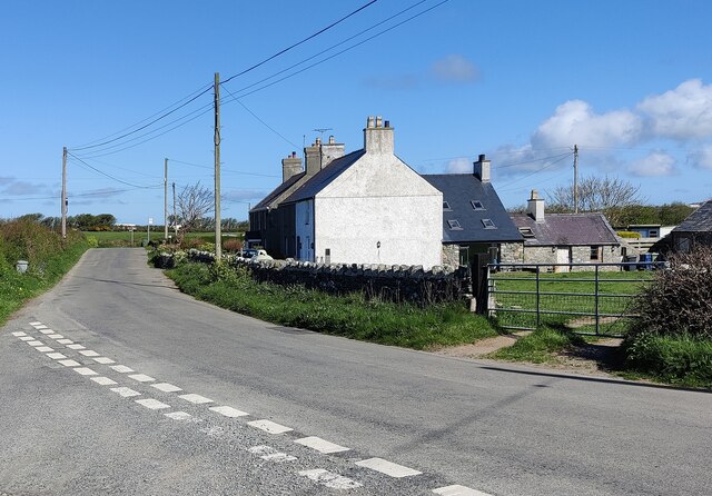
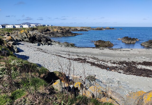
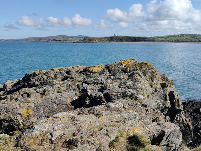
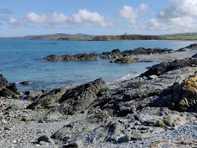
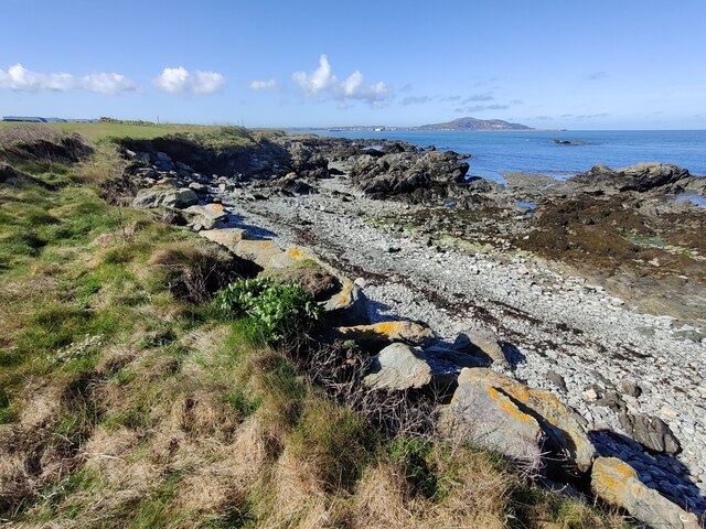
Porth Tywyn-mawr, also known as Anglesey Bay, is a picturesque coastal area located on the Isle of Anglesey in Wales, United Kingdom. With its stunning natural beauty and tranquil atmosphere, it is a popular tourist destination for both locals and visitors.
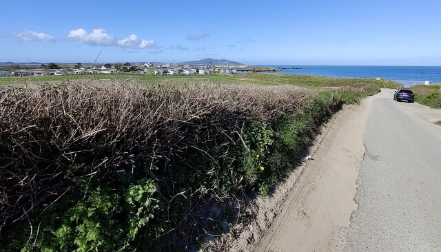
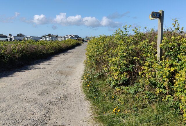
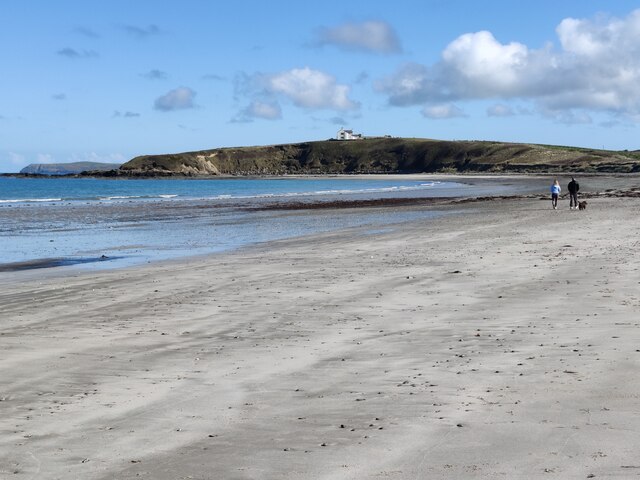
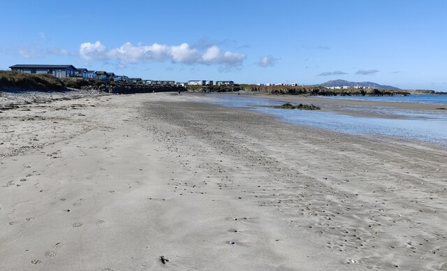
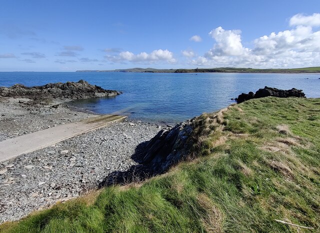
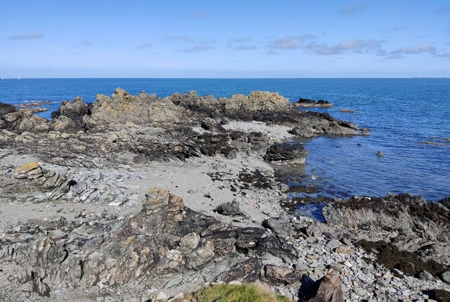
The bay is characterized by its long stretch of golden sandy beach, which is backed by rolling sand dunes and grassy cliffs. The beach is well-maintained and offers a range of facilities, including designated swimming areas, lifeguard services during peak seasons, and ample parking spaces for visitors. It is an ideal spot for beachgoers, families, and water sports enthusiasts.
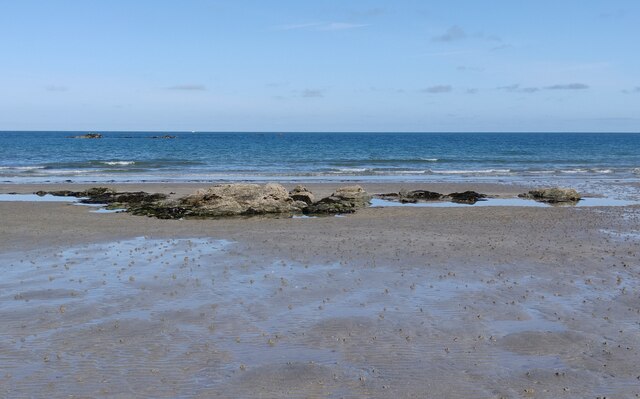
The bay's waters are generally calm, making it a great location for swimming, paddleboarding, and kayaking. It is also a popular spot for fishing, with anglers drawn to the abundance of fish species found in the area.
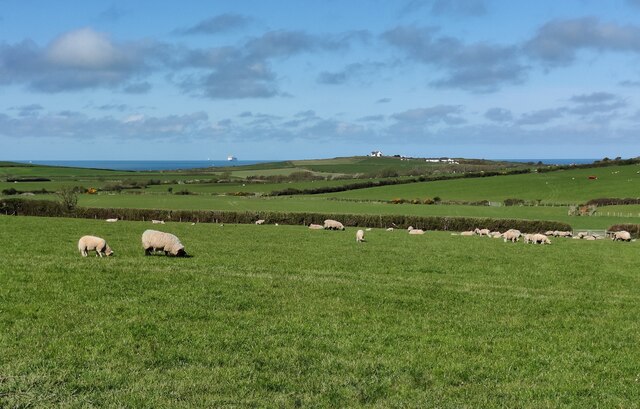
Nature lovers will appreciate the bay's rich biodiversity. The dunes and cliffs surrounding the beach are home to a variety of plant and animal species, including rare birds such as oystercatchers and little terns. Visitors may also catch glimpses of seals and dolphins frolicking in the waters.
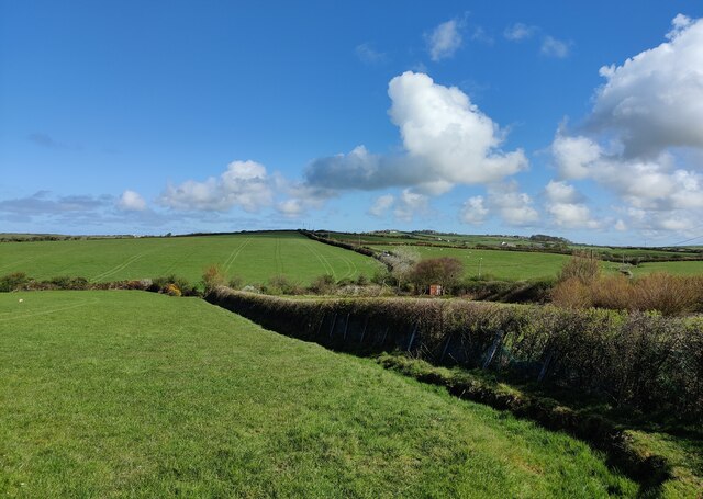
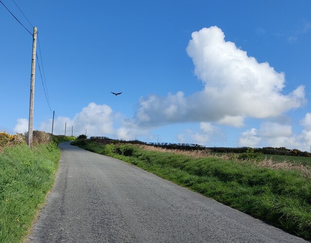
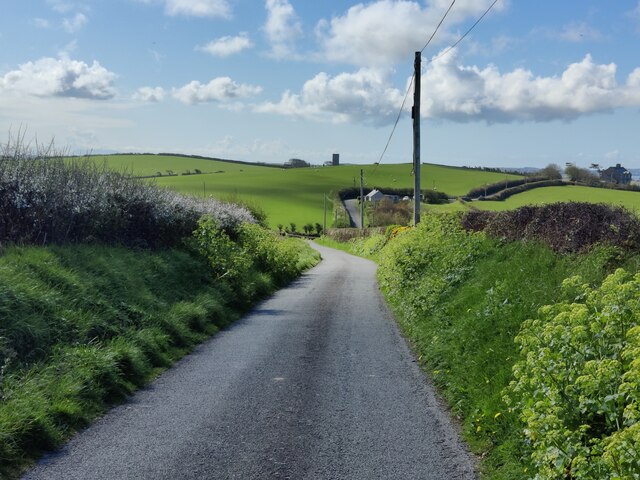
Porth Tywyn-mawr offers stunning panoramic views of the Irish Sea and the Snowdonia mountain range in the distance. The bay's peaceful ambiance and natural beauty make it an idyllic spot for leisurely walks, picnics, or simply enjoying the breathtaking scenery.
Overall, Porth Tywyn-mawr, Anglesey Bay is a hidden gem on the Isle of Anglesey, offering a perfect blend of natural beauty, recreational activities, and tranquility for all who visit.
If you have any feedback on the listing, please let us know in the comments section below.
Porth Tywyn-mawr Images
Images are sourced within 2km of 53.336354/-4.5755047 or Grid Reference SH2885. Thanks to Geograph Open Source API. All images are credited.
Porth Tywyn-mawr is located at Grid Ref: SH2885 (Lat: 53.336354, Lng: -4.5755047)
Unitary Authority: Isle of Anglesey
Police Authority: North Wales
What 3 Words
///adults.steadier.models. Near Llanfaethlu, Isle of Anglesey
Nearby Locations
Related Wikis

Llanfwrog, Anglesey
Llanfwrog is a village in Anglesey, in north-west Wales. It lies about 4 miles (6.4 km) to the northeast of Holyhead. The village lies near the coast about...

Holyhead Breakwater Lighthouse
The Holyhead Breakwater Lighthouse stands on the Holyhead Breakwater outside the Welsh port of Holyhead, Anglesey. == History == The structure, which was...

Llanfaethlu
Llanfaethlu is a village and community in the north west of Anglesey, in north-west Wales. The community population taken at the 2011 Census was 553. The...

St Maethlu's Church, Llanfaethlu
St Maethlu's Church is a medieval church in the village of Llanfaethlu, Anglesey, Wales. It is one of a number of churches in the parish and benefice of...

Carreglwyd
Carreglwyd is a Georgian country house, northwest of Llanfaethlu, Anglesey, Wales, which became a Grade II* listed building in 1952. Its gardens and parkland...

Holyhead Breakwater
Holyhead Breakwater is situated at the north-western end of Holyhead in Anglesey in North Wales. The Victorian structure, which is 1.7 miles (2.7 km) long...

Holyhead Mail Pier Lighthouse
Holyhead Mail Pier or Admiralty Pier Lighthouse on Salt Island, Anglesey, is an inactive lighthouse which was designed by the civil engineer John Rennie...

Salt Island, Anglesey
Salt Island (Welsh: Ynys yr Halen) is joined to Holy Island, Anglesey, in North Wales. It is a natural provider of shelter for the town's Old Harbour from...
Nearby Amenities
Located within 500m of 53.336354,-4.5755047Have you been to Porth Tywyn-mawr?
Leave your review of Porth Tywyn-mawr below (or comments, questions and feedback).