Porth Dryw

Bay in Anglesey

Wales

Porth Dryw

Gwynfa Farm at Llanfwrog
Gwynfa Farm at Llanfwrog Credit: Mat Fascione

The requested URL returned error: 429 Too Many Requests

If you have any feedback on the listing, please let us know in the comments section below.
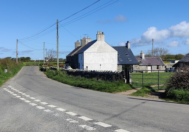
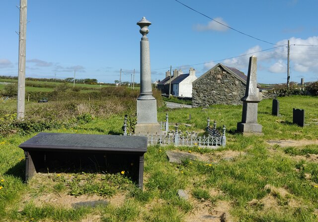
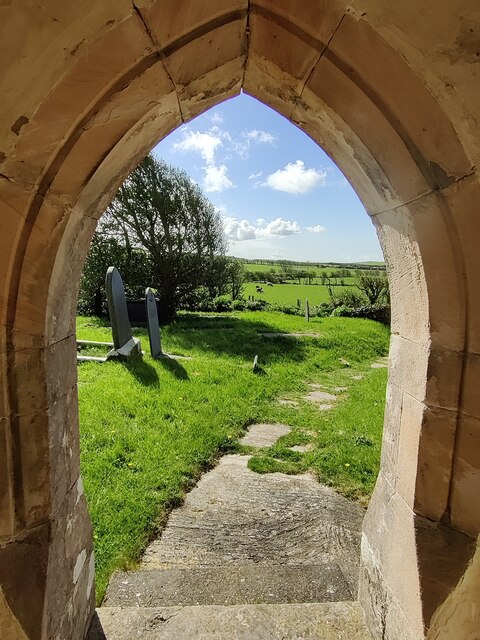
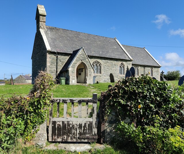
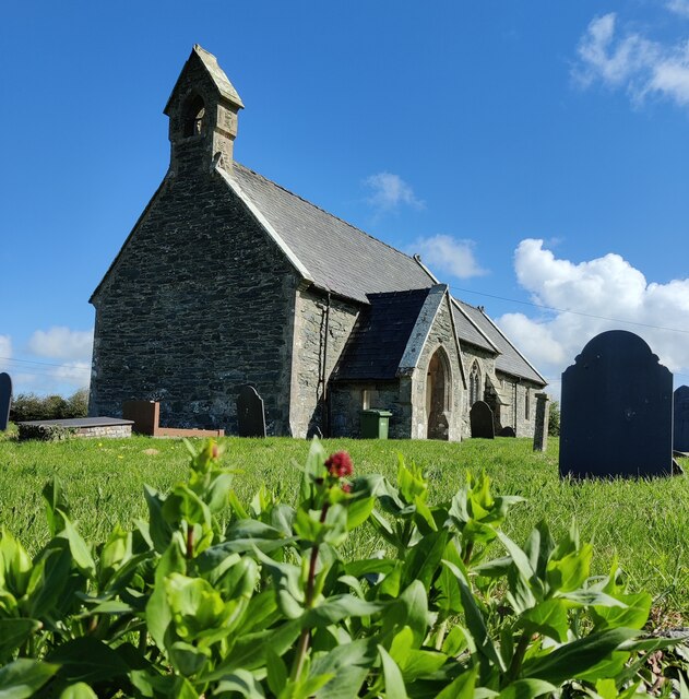
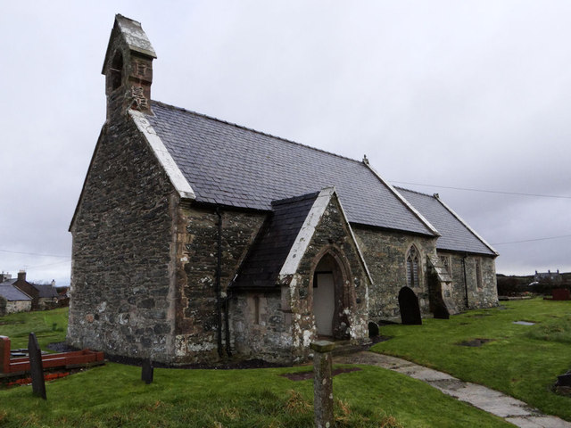
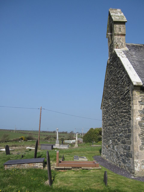
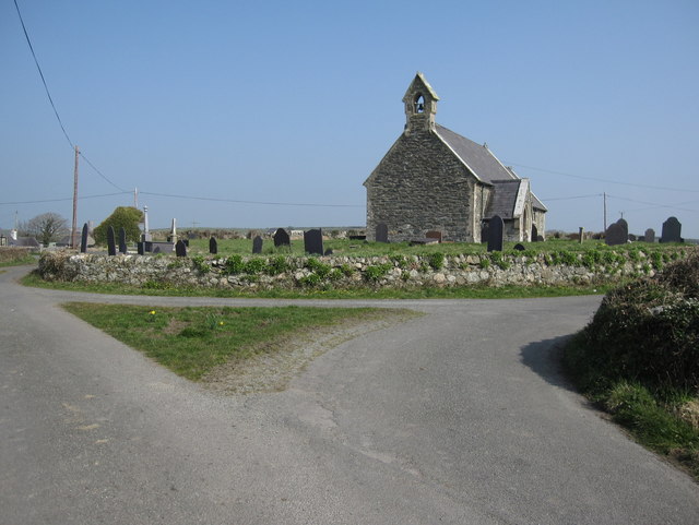
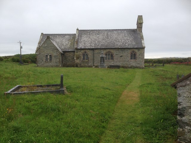
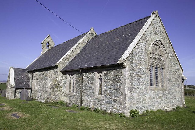
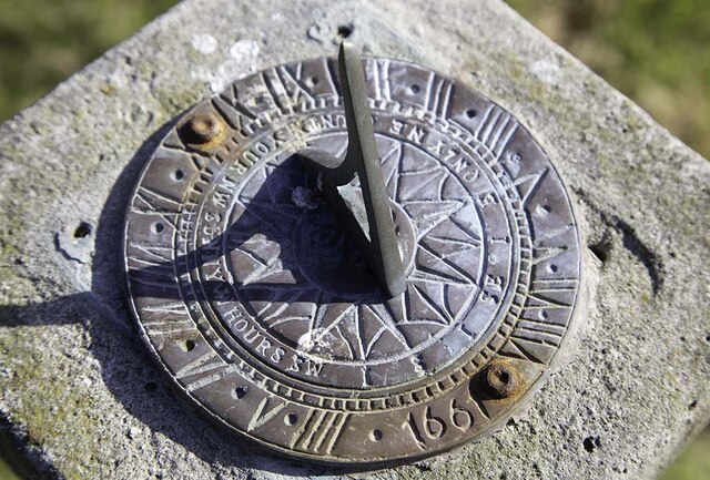
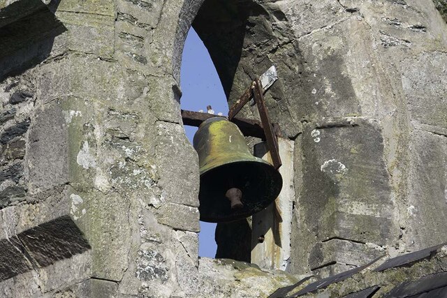
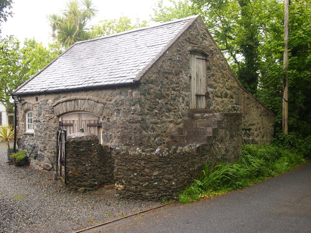
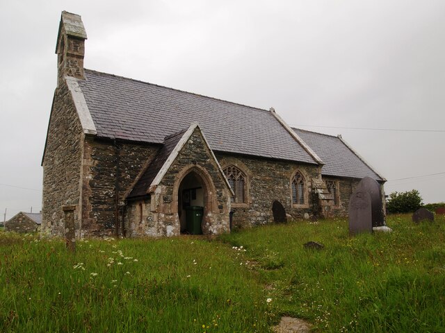
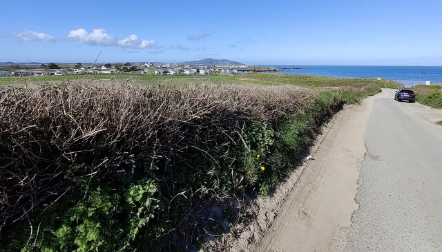
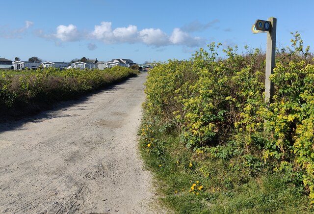
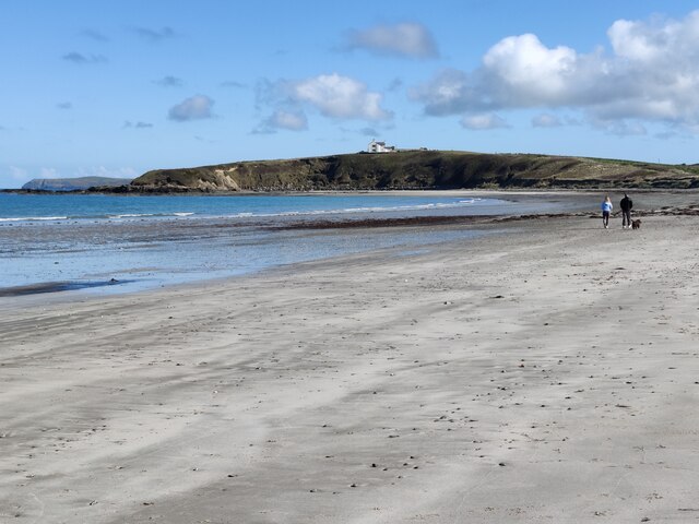
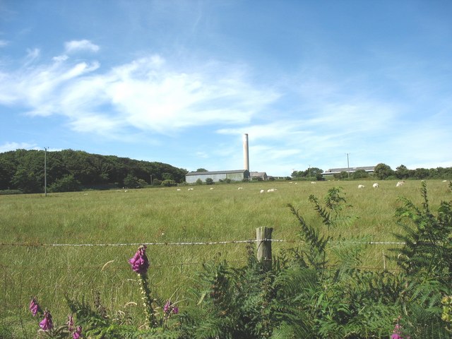
Porth Dryw Images

Images are sourced within 2km of 53.32427/-4.5808586 or Grid Reference SH2883. Thanks to Geograph Open Source API. All images are credited.

Gwynfa Farm at Llanfwrog
St Mwrog's churchyard, Llanfwrog
Doorway at St Mwrog's church
St Mwrog's church at Llanfwrog
Llanfwrog Church - St Mwrog's
Bench mark on St Mwrog's church, Llanfwrog This Ordnance Survey bench mark is on the south west corner of St Mwrog's church - see also <a href="https://www.geograph.org.uk/photo/5671541">SH3083 : The west end of St Mwrog's church, Llanfwrog</a>
Bench mark on St Mwrog's church, Llanfwrog
This Ordnance Survey bench mark is on the south west corner of St Mwrog's church - see also SH3083 : The west end of St Mwrog's church, Llanfwrog
The west end of St Mwrog's church, Llanfwrog There is an Ordnance Survey bench mark on the near, south west corner of the church - <a href="https://www.geograph.org.uk/photo/5671530">SH3083 : Bench mark on St Mwrog's church, Llanfwrog</a>
The west end of St Mwrog's church, Llanfwrog
There is an Ordnance Survey bench mark on the near, south west corner of the church - SH3083 : Bench mark on St Mwrog's church, Llanfwrog
St Mwrog's church and churchyard, Llanfwrog Looking north west towards St Mwrog's church and churchyard.
St Mwrog's church and churchyard, Llanfwrog
Looking north west towards St Mwrog's church and churchyard.
Eglwys Llanfwrog Disused church which was built in 1864 to replace an earlier medieval church.
Eglwys Llanfwrog
Disused church which was built in 1864 to replace an earlier medieval church.
Former Church of St Mwrog No longer used as a place of worship.
Former Church of St Mwrog
No longer used as a place of worship.
Sundial in St Mwrog's churchyard
The bell at St Mwrog's church
Old Outbuilding, Llanfwrog
St Mwrog's Church, Llanfwrog
Lane at Porth Tywyn-mawr
Wales Coast Path at Porth Tywyn-mawr The Wales Coast Path (Welsh: Llwybr Arfordir Cymru) is a long distance footpath which follows the whole of the coastline of Wales. It opened on 5 May 2012, and offers a 870 mile long route from Chepstow in the south to Queensferry in the north.
Wales is the first country in the world to provide a dedicated footpath along its entire coastline. The Path runs through eleven National Nature Reserves and other nature reserves, including those managed by The Wildlife Trusts or Royal Society for the Protection of Birds (RSPB).
Logo can be seen at<a href="https://www.geograph.org.uk/photo/3738617">SS0897 : Logo, Wales Coast Path</a>.
Website: <span class="nowrap"><a title="http://www.walescoastpath.gov.uk/default.aspx" rel="nofollow ugc noopener" href="http://www.walescoastpath.gov.uk/default.aspx">Link</a><img style="margin-left:2px;" alt="External link" title="External link - shift click to open in new window" src="https://s1.geograph.org.uk/img/external.png" width="10" height="10"/></span>
Wales Coast Path at Porth Tywyn-mawr
The Wales Coast Path (Welsh: Llwybr Arfordir Cymru) is a long distance footpath which follows the whole of the coastline of Wales. It opened on 5 May 2012, and offers a 870 mile long route from Chepstow in the south to Queensferry in the north. Wales is the first country in the world to provide a dedicated footpath along its entire coastline. The Path runs through eleven National Nature Reserves and other nature reserves, including those managed by The Wildlife Trusts or Royal Society for the Protection of Birds (RSPB). Logo can be seen atSS0897 : Logo, Wales Coast Path. Website: LinkExternal link
Porth Tywyn-mawr This half mile stretch of beach is also known as Sandy Beach.
Porth Tywyn-mawr
This half mile stretch of beach is also known as Sandy Beach.
Show me another place!

Porth Dryw is located at Grid Ref: SH2883 (Lat: 53.32427, Lng: -4.5808586)

Unitary Authority: Isle of Anglesey

Police Authority: North Wales

What 3 Words

///flopping.filled.textiles. Near Llanfachraeth, Isle of Anglesey

Related Wikis

Llanfwrog, Anglesey

Llanfwrog is a village in Anglesey, in north-west Wales. It lies about 4 miles (6.4 km) to the northeast of Holyhead. The village lies near the coast about...

Holyhead Breakwater Lighthouse

The Holyhead Breakwater Lighthouse stands on the Holyhead Breakwater outside the Welsh port of Holyhead, Anglesey. == History == The structure, which was...

Penrhos, Anglesey

Penrhos was a large estate on Holy Island, Anglesey, in north-west Wales. == History == In 1553, during Edward VI's reign, Penrhos was granted to John...

Holyhead Mail Pier Lighthouse

Holyhead Mail Pier or Admiralty Pier Lighthouse on Salt Island, Anglesey, is an inactive lighthouse which was designed by the civil engineer John Rennie...

Nearby Amenities

Located within 500m of 53.32427,-4.5808586
Porth Dryw
Natural: beach
Lat/Long: 53.3249057/-4.5808564
The data included in this document is from www.openstreetmap.org. The data is made available under ODbL.

Have you been to Porth Dryw?

Leave your review of Porth Dryw below (or comments, questions and feedback).