Porth Cae-Du
Bay in Anglesey
Wales
Porth Cae-Du
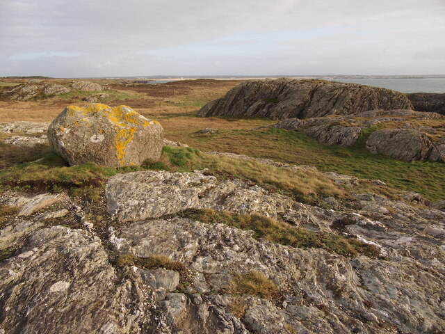
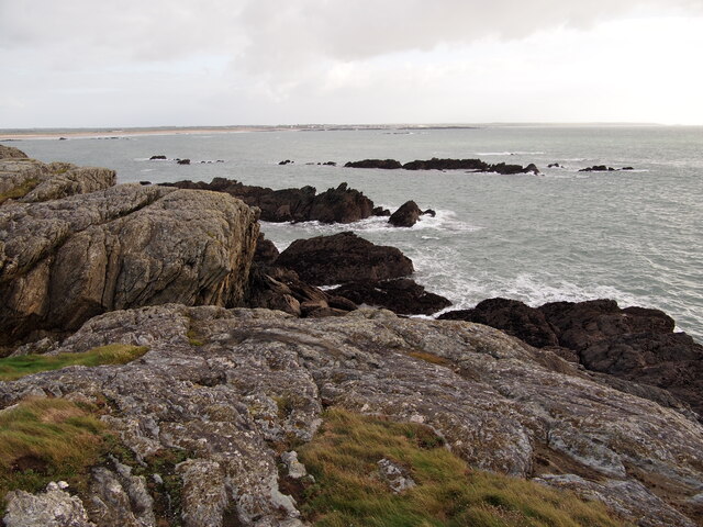
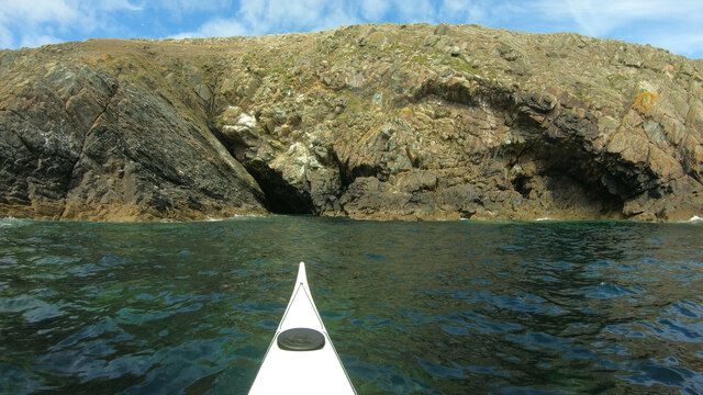
Porth Cae-Du, located on the coast of Anglesey, is a picturesque bay in North Wales, known for its natural beauty and tranquil atmosphere. The bay is nestled between rocky cliffs and is accessed via a narrow winding road, adding to its secluded charm.
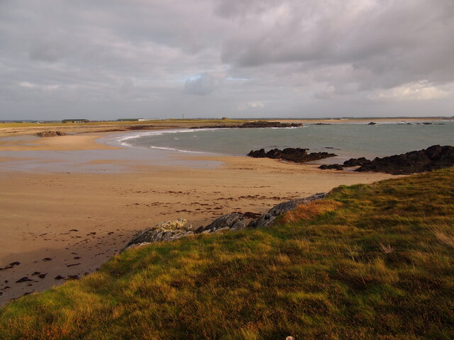
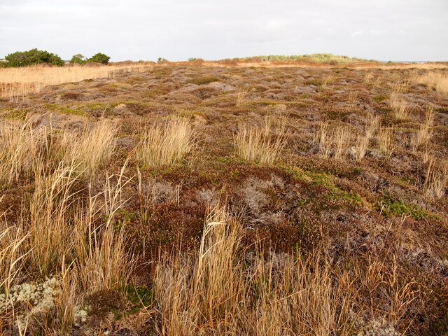
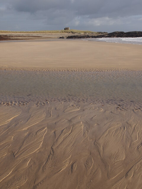
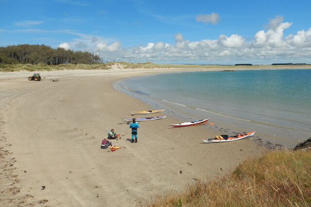
The beach at Porth Cae-Du is a mix of sand and pebbles, offering a peaceful spot for visitors to relax and enjoy the stunning coastal views. The bay is surrounded by lush greenery and offers panoramic vistas of the Irish Sea. The clear waters of the bay are perfect for swimming, and the rocky areas are ideal for rock pooling and exploring the diverse marine life.
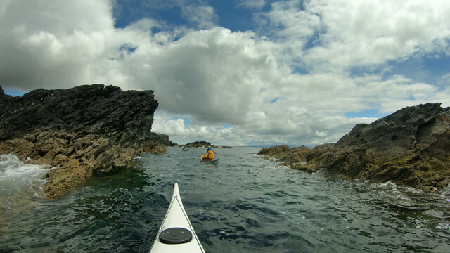
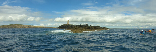
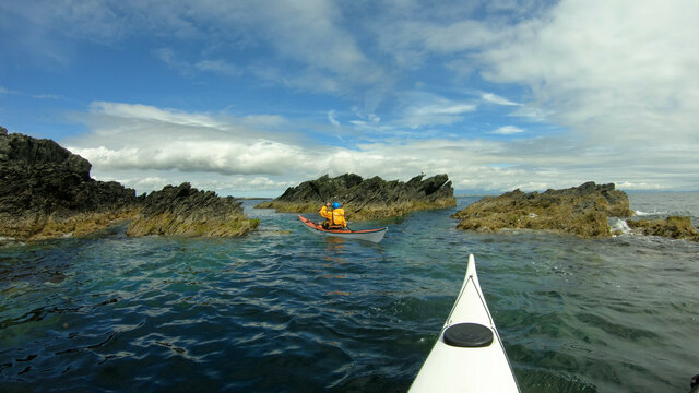
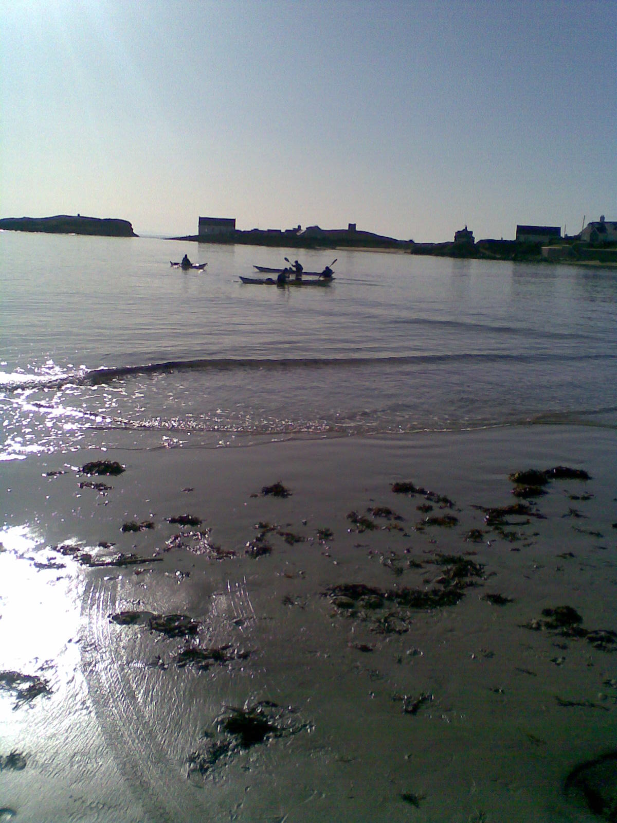
Porth Cae-Du is also a popular destination for water sports enthusiasts, with opportunities for kayaking, paddleboarding, and sailing. The bay is well-known for its excellent surfing conditions, attracting surfers from both local and international communities.
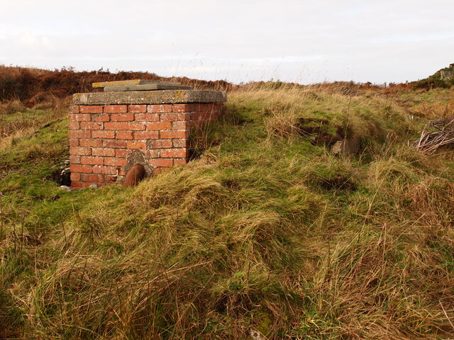
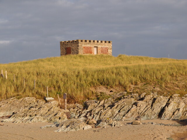
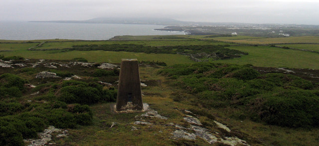
Aside from its natural beauty, Porth Cae-Du also has historical significance. The remains of an Iron Age fort can be found on the headland overlooking the bay, providing a glimpse into the area's ancient past. The bay is also a starting point for the Anglesey Coastal Path, a 125-mile long trail that offers breathtaking views of the coastline.
Overall, Porth Cae-Du is a hidden gem on the Anglesey coast, offering visitors a peaceful and scenic retreat in a stunning natural setting.
If you have any feedback on the listing, please let us know in the comments section below.
Porth Cae-Du Images
Images are sourced within 2km of 53.242025/-4.578872 or Grid Reference SH2874. Thanks to Geograph Open Source API. All images are credited.

Porth Cae-Du is located at Grid Ref: SH2874 (Lat: 53.242025, Lng: -4.578872)
Unitary Authority: Isle of Anglesey
Police Authority: North Wales
What 3 Words
///evolving.ooze.push. Near Rhosneigr, Isle of Anglesey
Nearby Locations
Related Wikis
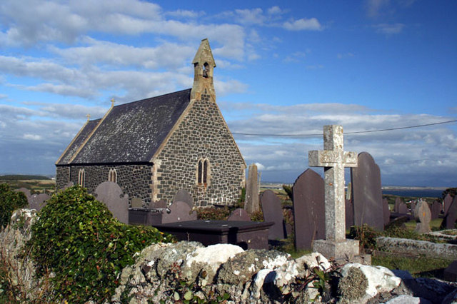
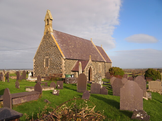
St Gwenfaen's Church, Rhoscolyn
St Gwenfaen's Church is in the village of Rhoscolyn, on the Isle of Anglesey, Wales. The church was established in AD630, and was dedicated to St. Gwenfaen...
Rhoscolyn
Rhoscolyn is a village and community located on Holy Island, Anglesey, Wales. It is just over five miles south of Holyhead and is the most southerly settlement...
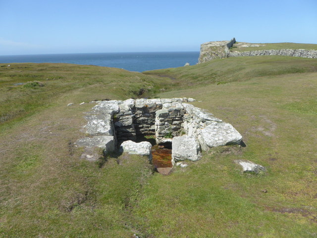
St Gwenfaen's Well
St Gwenfaen's Well (also known as Welsh: Ffynnon Gwenfaen, Welsh: Ffynnon Wenfaen and Welsh: Ffynnon Gwenfai) is an early medieval holy well in the south...

Glannau Rhoscolyn
Glannau Rhoscolyn is a Site of Special Scientific Interest (or SSSI) in Anglesey, North Wales, and extends along the west coast of Holy Island, Anglesey...
Nearby Amenities
Located within 500m of 53.242025,-4.578872Have you been to Porth Cae-Du?
Leave your review of Porth Cae-Du below (or comments, questions and feedback).