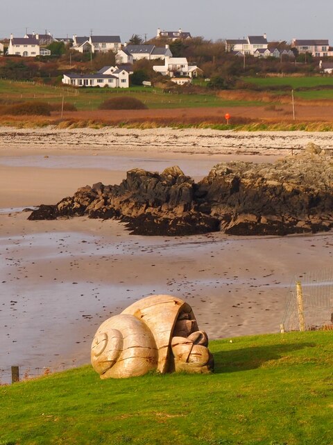
Porth Gorslwyn
Bay in Anglesey
Wales
Porth Gorslwyn
The requested URL returned error: 429 Too Many Requests
If you have any feedback on the listing, please let us know in the comments section below.
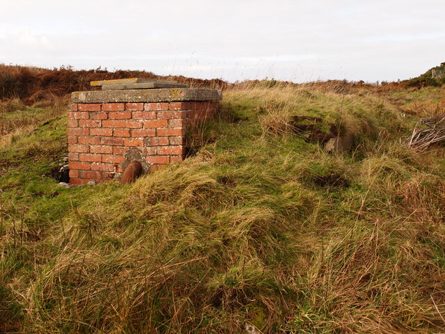
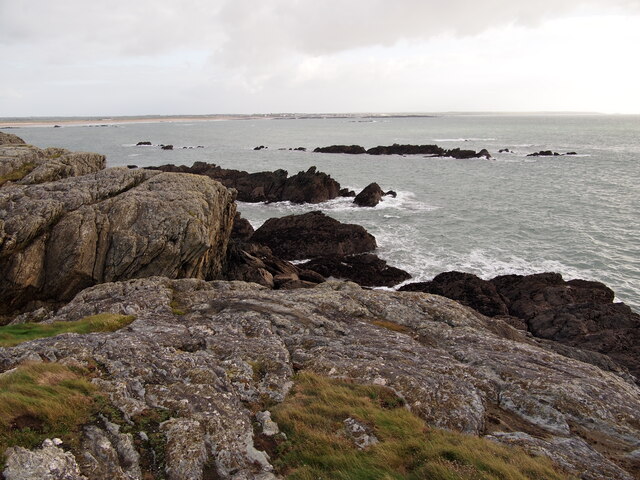
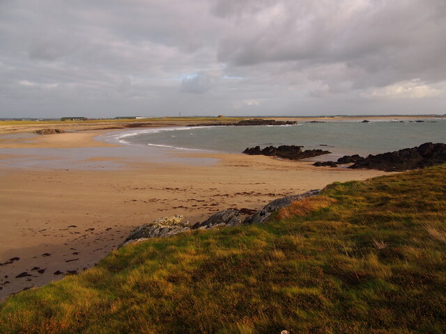
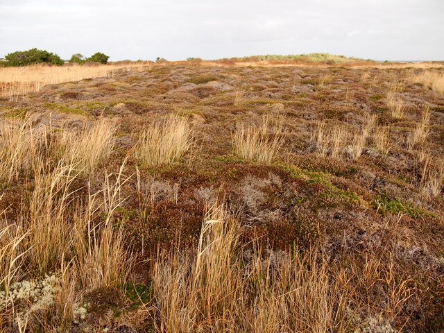
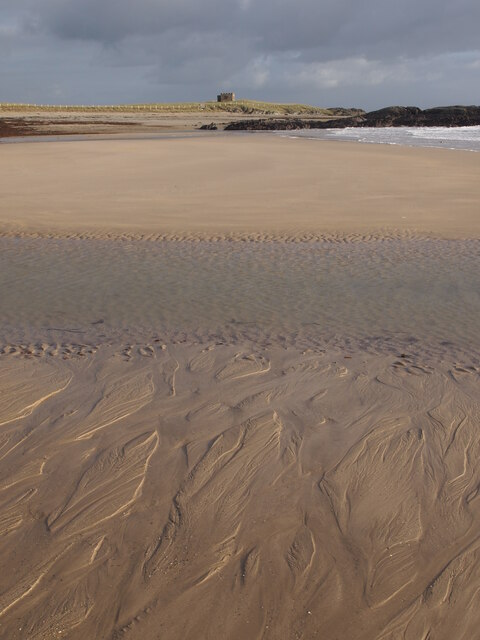
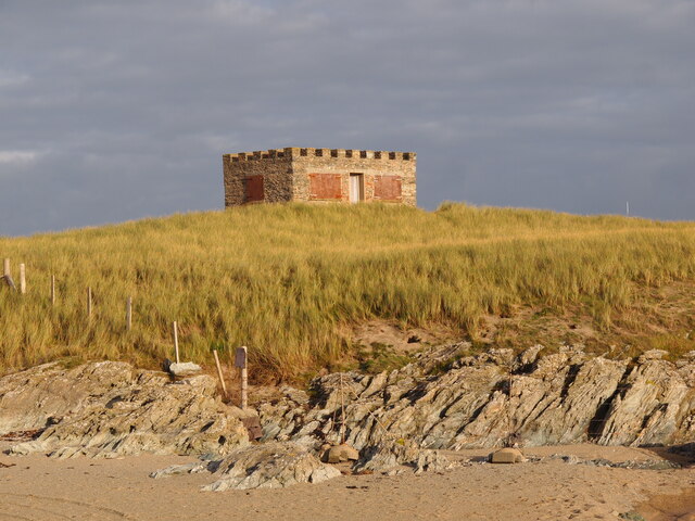
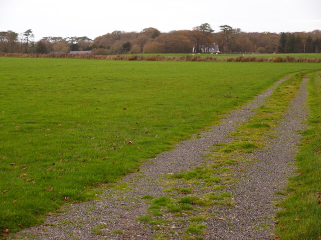
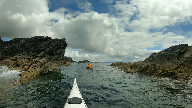
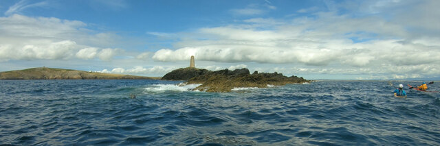
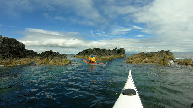
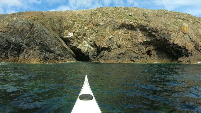
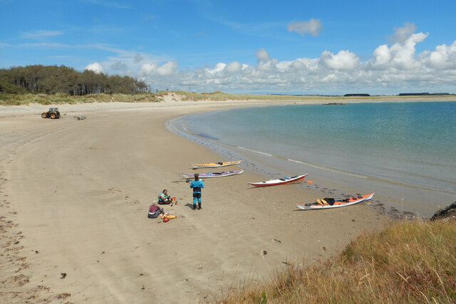
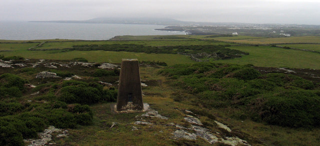
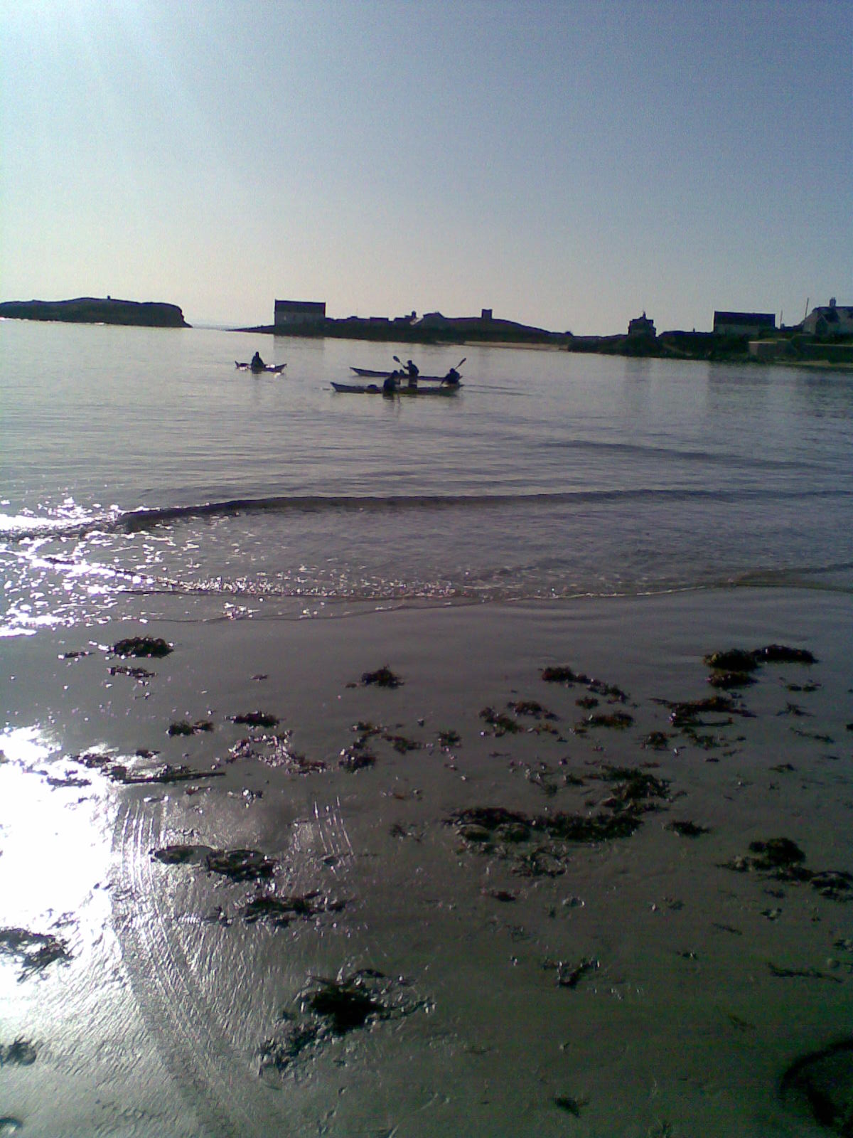
Porth Gorslwyn Images
Images are sourced within 2km of 53.242555/-4.5784692 or Grid Reference SH2874. Thanks to Geograph Open Source API. All images are credited.

Porth Gorslwyn is located at Grid Ref: SH2874 (Lat: 53.242555, Lng: -4.5784692)
Unitary Authority: Isle of Anglesey
Police Authority: North Wales
What 3 Words
///impact.wobbles.walnuts. Near Rhosneigr, Isle of Anglesey
Nearby Locations
Related Wikis
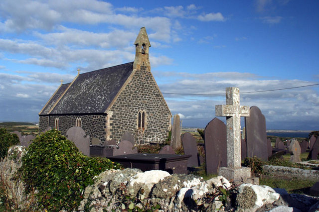
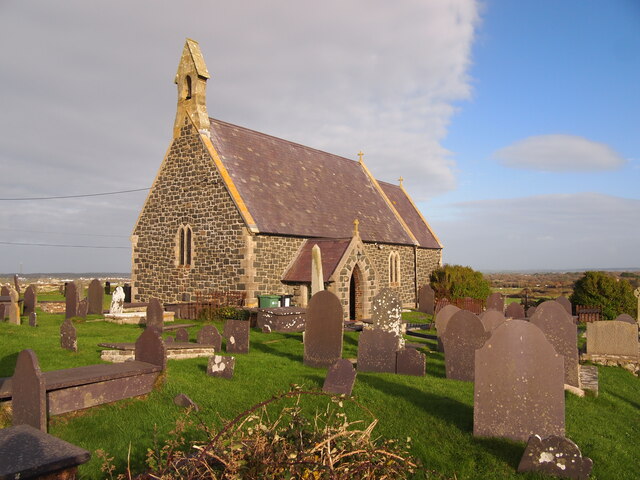
St Gwenfaen's Church, Rhoscolyn
St Gwenfaen's Church is in the village of Rhoscolyn, on the Isle of Anglesey, Wales. The church was established in AD630, and was dedicated to St. Gwenfaen...
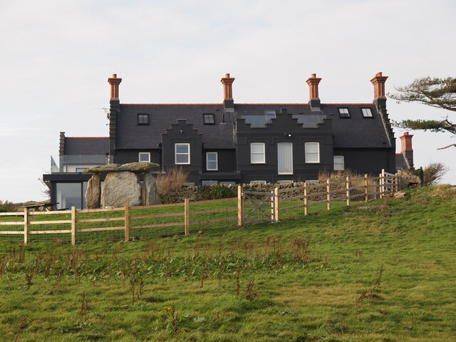
Rhoscolyn
Rhoscolyn is a village and community located on Holy Island, Anglesey, Wales. It is just over five miles south of Holyhead and is the most southerly settlement...
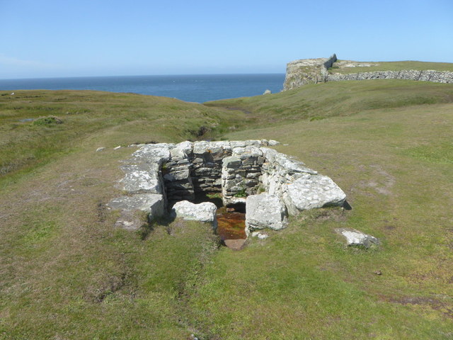
St Gwenfaen's Well
St Gwenfaen's Well (also known as Welsh: Ffynnon Gwenfaen, Welsh: Ffynnon Wenfaen and Welsh: Ffynnon Gwenfai) is an early medieval holy well in the south...

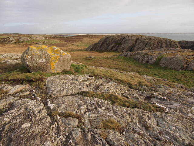
Glannau Rhoscolyn
Glannau Rhoscolyn is a Site of Special Scientific Interest (or SSSI) in Anglesey, North Wales, and extends along the west coast of Holy Island, Anglesey...
Nearby Amenities
Located within 500m of 53.242555,-4.5784692Have you been to Porth Gorslwyn?
Leave your review of Porth Gorslwyn below (or comments, questions and feedback).