Camas na Cusgaig
Bay in Sutherland
Scotland
Camas na Cusgaig
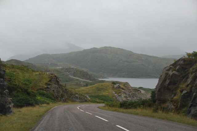
Camas na Cusgaig, located in the county of Sutherland in the Scottish Highlands, is a picturesque bay nestled along the northwestern coast of Scotland. Known for its unspoiled natural beauty, the bay is surrounded by rugged cliffs and rolling hills, offering breathtaking views of the Atlantic Ocean.
The bay is characterized by its pristine sandy beach, which stretches for approximately 1.5 kilometers. The golden sands are often dotted with small seashells and pebbles, making it an ideal spot for beachcombing and leisurely walks. The crystal-clear turquoise waters of the bay are relatively calm, making it a popular destination for swimming and other water activities during the summer months.
Camas na Cusgaig is also home to a diverse range of marine life. Visitors can often spot seals sunbathing on the rocks or playing in the water, while seabirds such as gannets, puffins, and cormorants can be seen soaring above the bay. The surrounding cliffs provide nesting grounds for various species of seabirds, adding to the area's ecological significance.
The bay offers a tranquil and serene atmosphere, making it a haven for those seeking relaxation and solace in nature. Its remote location ensures a peaceful retreat away from the hustle and bustle of city life, with minimal human activity in the area. Whether it's enjoying a picnic on the beach, exploring the nearby coastal paths, or simply taking in the stunning scenery, Camas na Cusgaig is a hidden gem that showcases the raw beauty of the Scottish Highlands.
If you have any feedback on the listing, please let us know in the comments section below.
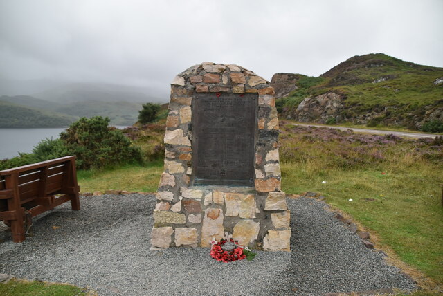
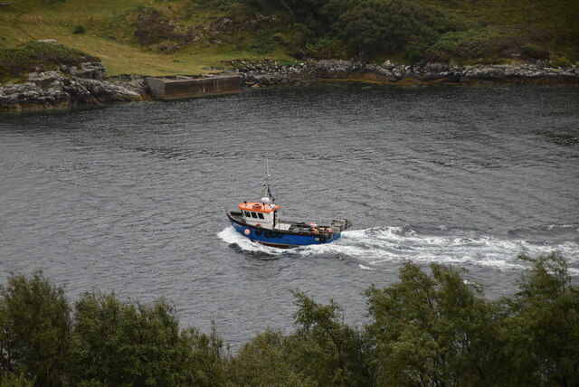
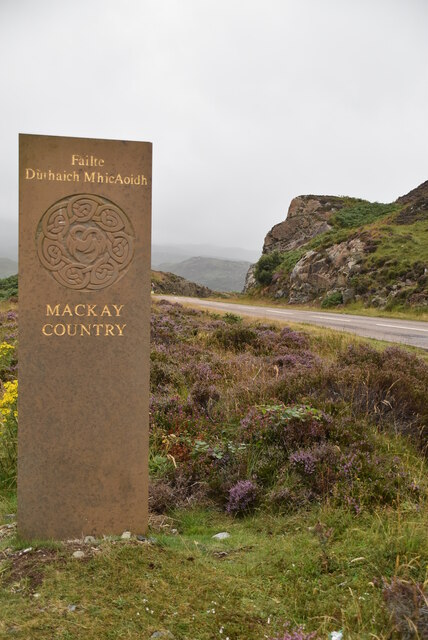
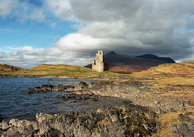
Camas na Cusgaig Images
Images are sourced within 2km of 58.255866/-5.0167116 or Grid Reference NC2333. Thanks to Geograph Open Source API. All images are credited.


Camas na Cusgaig is located at Grid Ref: NC2333 (Lat: 58.255866, Lng: -5.0167116)
Unitary Authority: Highland
Police Authority: Highlands and Islands
What 3 Words
///reclined.loafer.quail. Near Inchnadamph, Highland
Nearby Locations
Related Wikis

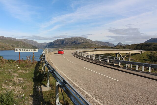
Kylesku
Kylesku (Scottish Gaelic: An Caolas Cumhang) is a small, remote fishing hamlet in Sutherland in the Scottish Highlands. Until 1984, it was the site of...

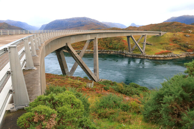
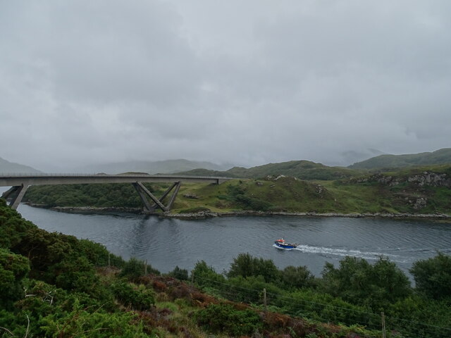
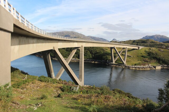
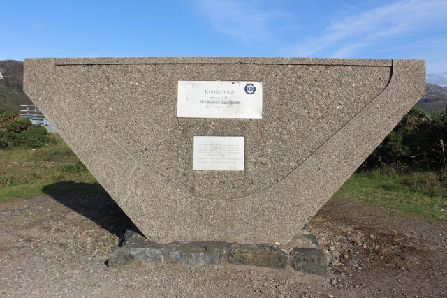
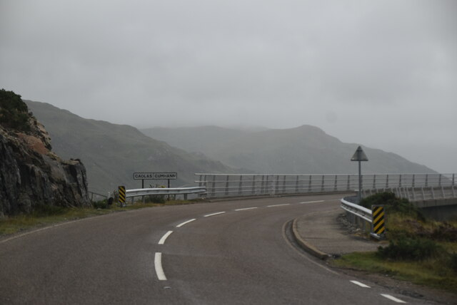
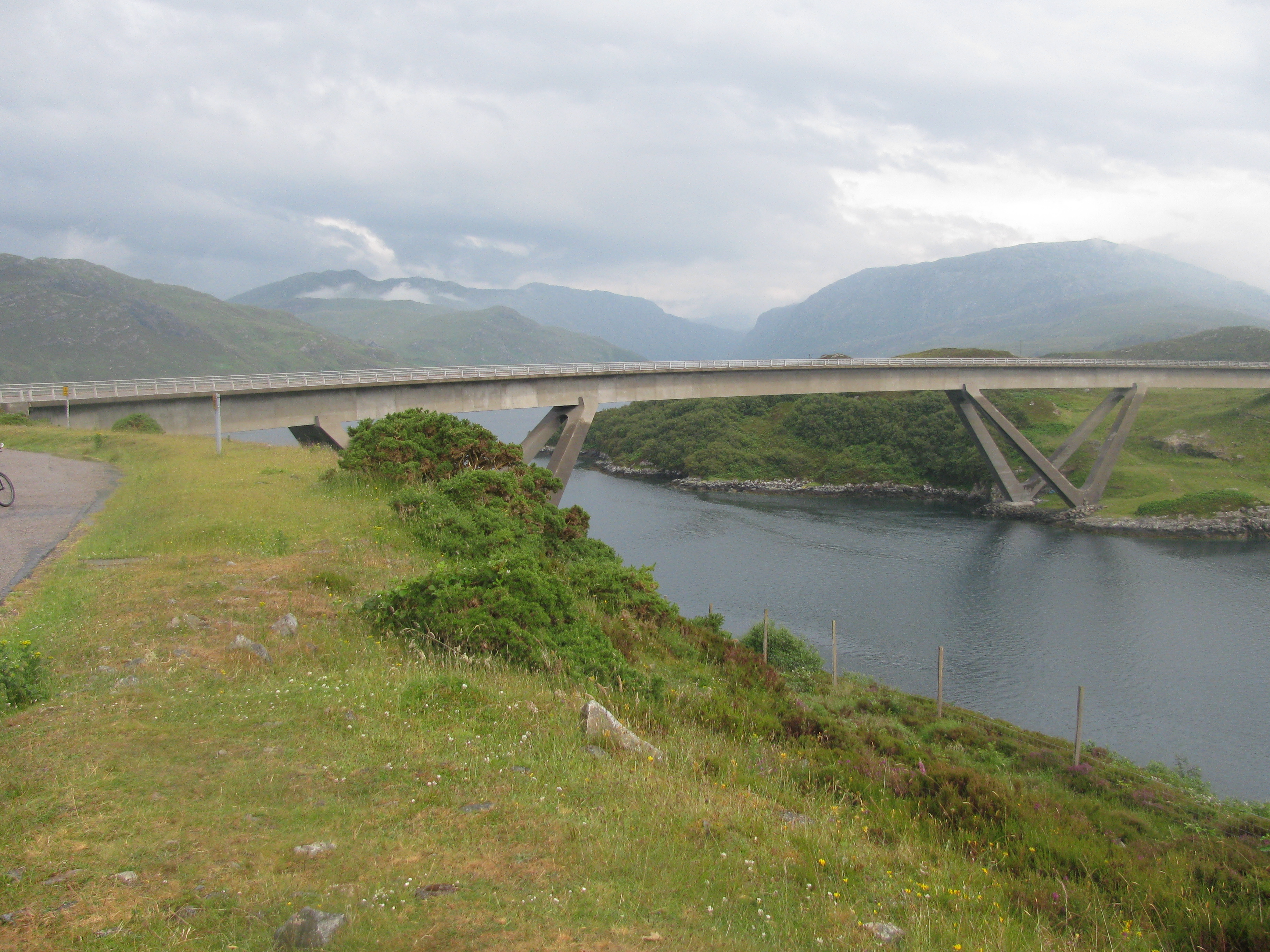
Kylesku Bridge
The Kylesku Bridge (officially known since 2019 by its Gaelic name Drochaid a' Chaolais Chumhaing) is a distinctively curved concrete box girder bridge...
Kylestrome
Kylestrome (Scottish Gaelic: Caol Sròim) is a village on the north shore of Loch a' Chàirn Bhàin, 2 miles (3 kilometres) northwest of Unapool, in Sutherland...
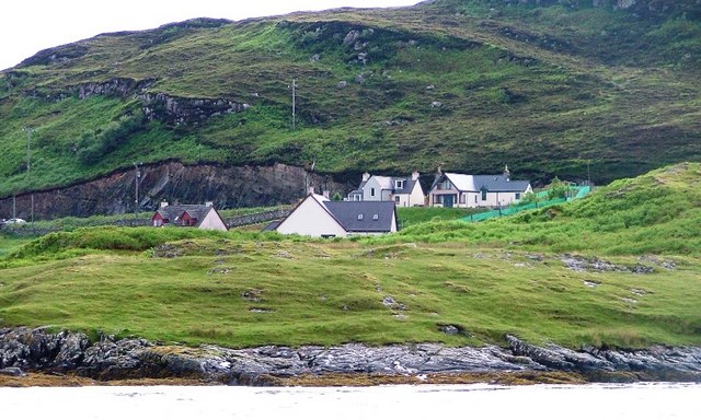
Unapool
Unapool is a small settlement in the Assynt district of Sutherland in the Highland council area of Scotland. It is located on the A894 between Durness...
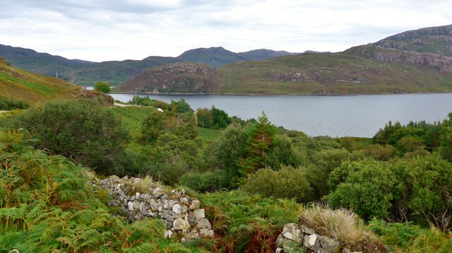
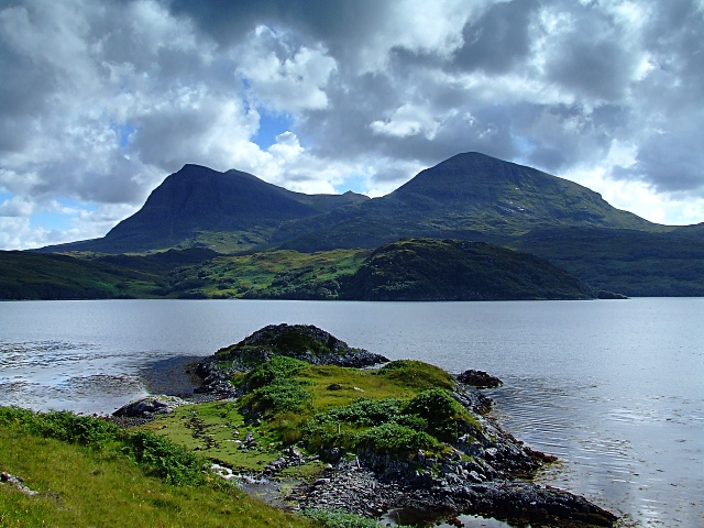
Loch a' Chàirn Bhàin
Loch a' Chàirn Bhàin (Gaelic for "White Cairn Loch"), or Loch Cairnbawn, is a sea inlet off Eddrachillis Bay on the west coast of the Scottish Highlands...
Port HHZ
Port HHZ was a shore establishment of the Royal Navy during the Second World War. It was based at Loch Cairnbawn, Scotland, and was established in 1942...

Quinag
Quinag (Scottish Gaelic: A’ Chuineag) is an 808 m high mountain range in Sutherland in the Scottish Highlands, with an undulating series of peaks along...
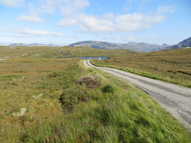
Assynt
Assynt (Scottish Gaelic: Asainn [ˈas̪ɪɲ] or Asainte [ˈas̪ɪɲtʲə]) is a sparsely populated area in the south-west of Sutherland, lying north of Ullapool...
Related Videos

Kylesku Bridge Timelapse walking across
Kylesku Bridge Timelapse walking across #scotland #insta360 #timelapse #nc500.


North West Sutherland - Scottish Highlands
North west Sutherland area guides: https://www.venture-north.co.uk/guides/assynt-west Get lost in the beauty and creativity of ...
![[8] Short - Break at Dileab nan Lochlannach a Viking Legacy - Scotland #shorts](https://i.ytimg.com/vi/iTjxLWnJ8AU/hqdefault.jpg)
Nearby Amenities
Located within 500m of 58.255866,-5.0167116Have you been to Camas na Cusgaig?
Leave your review of Camas na Cusgaig below (or comments, questions and feedback).