Cnoc Falaisge
Hill, Mountain in Sutherland
Scotland
Cnoc Falaisge
Cnoc Falaisge, also known as the Hill of Falaisge, is a prominent hill located in the county of Sutherland, in the northern part of Scotland. It is situated near the village of Lairg and stands at an elevation of approximately 368 meters (1,207 feet).
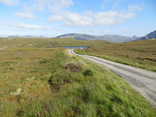
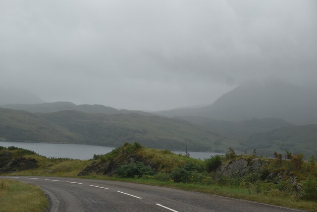
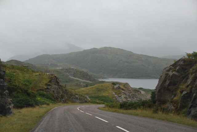
The hill offers stunning panoramic views of the surrounding countryside, including the beautiful Loch Shin and the rolling hills of the Scottish Highlands. Its location in a remote and unspoiled area makes it a popular destination for hikers and nature enthusiasts.
Cnoc Falaisge is known for its diverse flora and fauna, with heather, grasses, and wildflowers covering its slopes. The hill is home to a variety of bird species, including buzzards, kestrels, and the occasional golden eagle. Red deer can also be spotted roaming the area.
The hill is easily accessible via a well-marked trail that starts from the nearby village of Lairg. The path takes visitors through a mixture of moorland and woodland, offering a chance to observe the local wildlife and enjoy the peaceful surroundings.
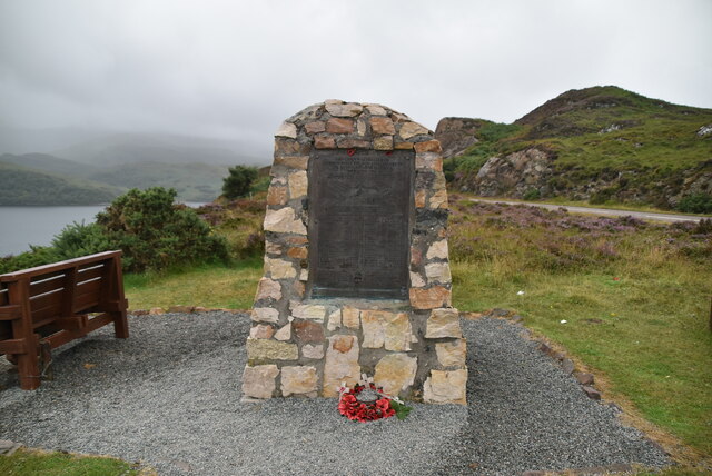
Cnoc Falaisge holds historical significance as well. It is believed that the hill was used as a gathering place for the local clans in ancient times. Some remnants of ancient settlements and burial cairns can still be found in the vicinity.
Overall, Cnoc Falaisge offers a wonderful opportunity to experience the natural beauty and history of the Scottish Highlands, making it a must-visit destination for outdoor enthusiasts and those seeking a tranquil escape.
If you have any feedback on the listing, please let us know in the comments section below.
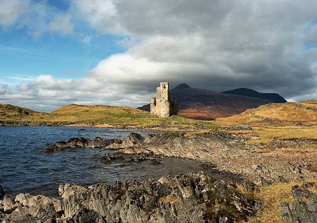
Cnoc Falaisge Images
Images are sourced within 2km of 58.251589/-5.0147966 or Grid Reference NC2333. Thanks to Geograph Open Source API. All images are credited.


Cnoc Falaisge is located at Grid Ref: NC2333 (Lat: 58.251589, Lng: -5.0147966)
Unitary Authority: Highland
Police Authority: Highlands and Islands
What 3 Words
///instance.inner.kilowatt. Near Inchnadamph, Highland
Nearby Locations
Related Wikis

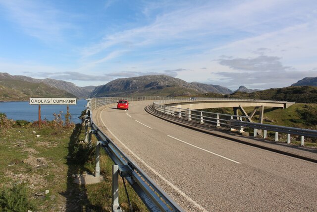
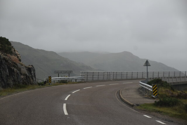
Kylesku
Kylesku (Scottish Gaelic: An Caolas Cumhang) is a small, remote fishing hamlet in Sutherland in the Scottish Highlands. Until 1984, it was the site of...
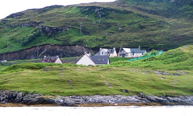
Unapool
Unapool is a small settlement in the Assynt district of Sutherland in the Highland council area of Scotland. It is located on the A894 between Durness...
Kylestrome
Kylestrome (Scottish Gaelic: Caol Sròim) is a village on the north shore of Loch a' Chàirn Bhàin, 2 miles (3 kilometres) northwest of Unapool, in Sutherland...

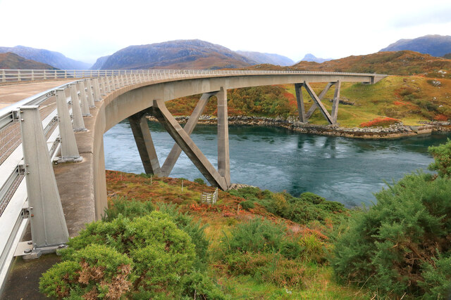
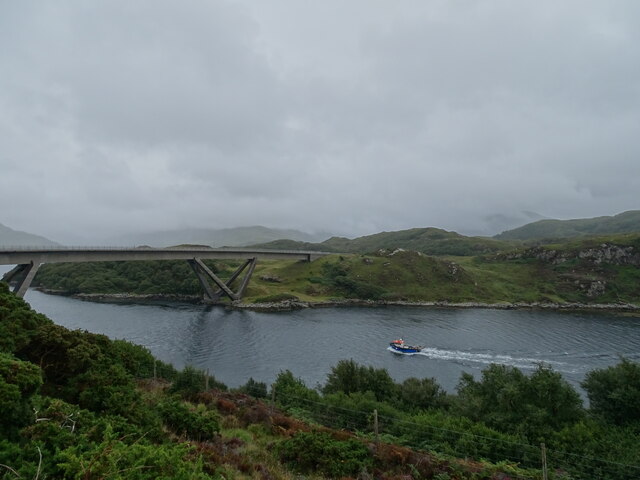
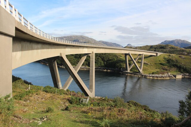
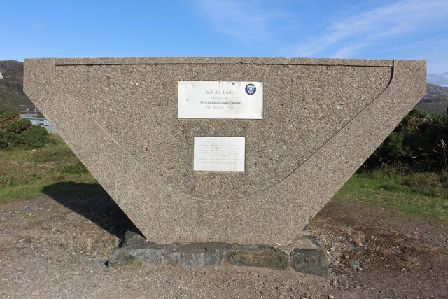
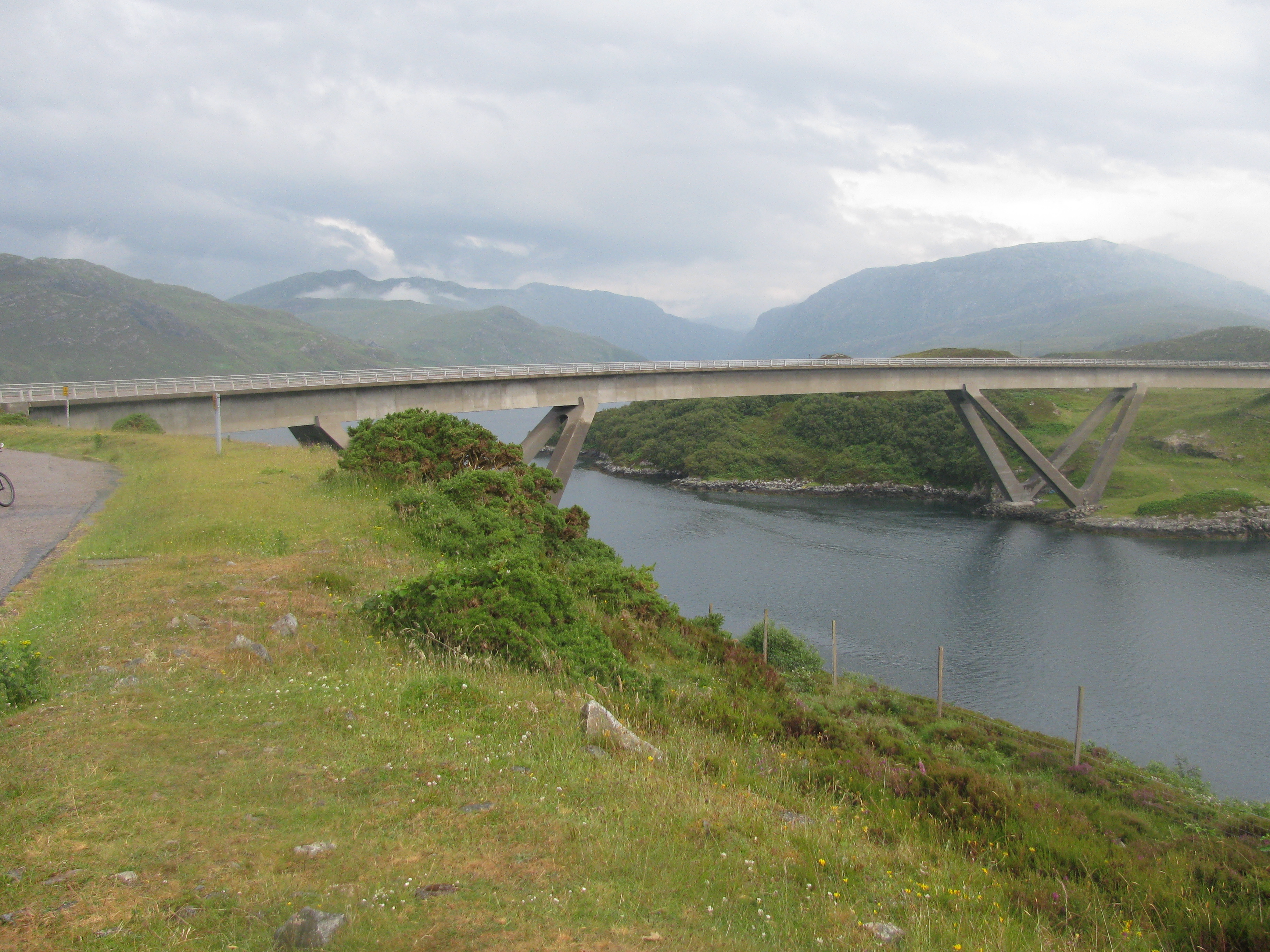
Kylesku Bridge
The Kylesku Bridge (officially known since 2019 by its Gaelic name Drochaid a' Chaolais Chumhaing) is a distinctively curved concrete box girder bridge...
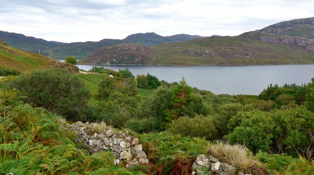
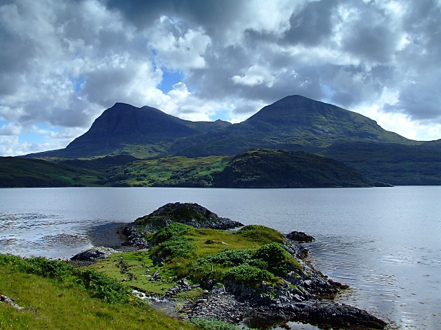
Loch a' Chàirn Bhàin
Loch a' Chàirn Bhàin (Gaelic for "White Cairn Loch"), or Loch Cairnbawn, is a sea inlet off Eddrachillis Bay on the west coast of the Scottish Highlands...
Port HHZ
Port HHZ was a shore establishment of the Royal Navy during the Second World War. It was based at Loch Cairnbawn, Scotland, and was established in 1942...

Quinag
Quinag (Scottish Gaelic: A’ Chuineag) is an 808 m high mountain range in Sutherland in the Scottish Highlands, with an undulating series of peaks along...
Assynt
Assynt (Scottish Gaelic: Asainn [ˈas̪ɪɲ] or Asainte [ˈas̪ɪɲtʲə]) is a sparsely populated area in the south-west of Sutherland, lying north of Ullapool...
Related Videos


Kylesku Bridge Timelapse walking across
Kylesku Bridge Timelapse walking across #scotland #insta360 #timelapse #nc500.
![[8] Short - Break at Dileab nan Lochlannach a Viking Legacy - Scotland #shorts](https://i.ytimg.com/vi/iTjxLWnJ8AU/hqdefault.jpg)

North West Sutherland - Scottish Highlands
North west Sutherland area guides: https://www.venture-north.co.uk/guides/assynt-west Get lost in the beauty and creativity of ...
Nearby Amenities
Located within 500m of 58.251589,-5.0147966Have you been to Cnoc Falaisge?
Leave your review of Cnoc Falaisge below (or comments, questions and feedback).