Am Binnein
Hill, Mountain in Argyllshire
Scotland
Am Binnein

Am Binnein is a prominent hill located in Argyllshire, Scotland. Standing at an impressive height of 1,130 meters (3,707 feet), it is recognized as one of the Munros, which are mountains in Scotland that reach an elevation of at least 914 meters (3,000 feet). Am Binnein is part of the famous Arrochar Alps range, which is renowned for its rugged and picturesque landscape.
Situated in the Loch Lomond and The Trossachs National Park, Am Binnein offers breathtaking views of the surrounding area, including the nearby Loch Lomond and the stunning Argyll Forest Park. The ascent to the summit is challenging, with steep and rocky terrain, making it a popular destination among experienced hikers and mountaineers.
The hill is characterized by its distinctive shape, with a sharp and narrow ridge that leads to the summit. This ridge, known as the "knife-edge," provides an exhilarating and thrilling experience for those brave enough to traverse it. However, caution must be exercised as the ridge can be treacherous, especially in adverse weather conditions.
Am Binnein is also home to a variety of wildlife, including red deer, golden eagles, and ptarmigans. The surrounding area boasts an abundance of flora, with heather, wildflowers, and moss-covered rocks adding to the picturesque scenery.
Overall, Am Binnein is a challenging and rewarding hill that offers breathtaking views and a unique hiking experience. It is a must-visit destination for outdoor enthusiasts seeking adventure in the stunning Scottish countryside.
If you have any feedback on the listing, please let us know in the comments section below.
Am Binnein Images
Images are sourced within 2km of 56.131888/-4.8464824 or Grid Reference NS2396. Thanks to Geograph Open Source API. All images are credited.


Am Binnein is located at Grid Ref: NS2396 (Lat: 56.131888, Lng: -4.8464824)
Unitary Authority: Argyll and Bute
Police Authority: Argyll and West Dunbartonshire
What 3 Words
///diplomats.cocktail.bounding. Near Garelochhead, Argyll & Bute
Nearby Locations
Related Wikis

Beinn Reithe
Beinn Reithe is a mountain in Argyll in the Scottish Highlands and forms part of the Ardgoil Peninsula and Arrochar Alps. Beinn Reithe is located between...

The Saddle (Lochgoilhead)
The Saddle is a mountain near Lochgoilhead in The Ardgoil Peninsula in Argyll. It reaches a height of 521m and is in the Arrochar Alps.
Tom Molach
Tom Molach is a peak within the Ardgoil Peninsula and Arrochar Alps near Lochgoilhead in Argyll, Scotland. The peak reaches a height of 370 metres (1,210...
Argyll's Bowling Green
Argyll's Bowling Green (Scottish Gaelic: Baile na Grèine meaning "sunny hamlet" or "sunny cattle fold") is an area on the Ardgoil estate in Argyll and...
Glenmallan
Glenmallan is a settlement in Argyll and Bute, Scotland, on the shore of Loch Long. It has a population of under 1000, and its coordinates are latitude...
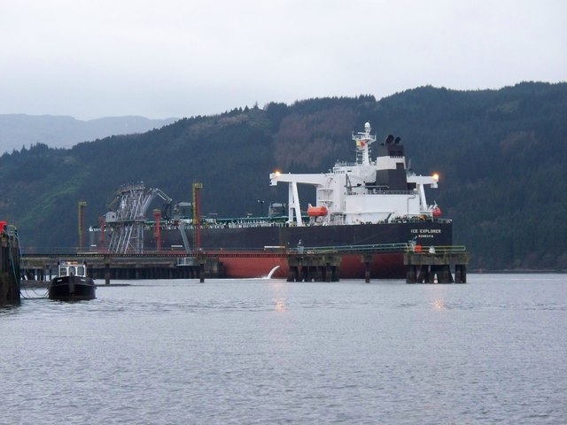
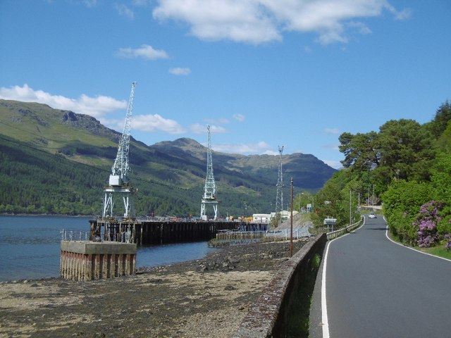
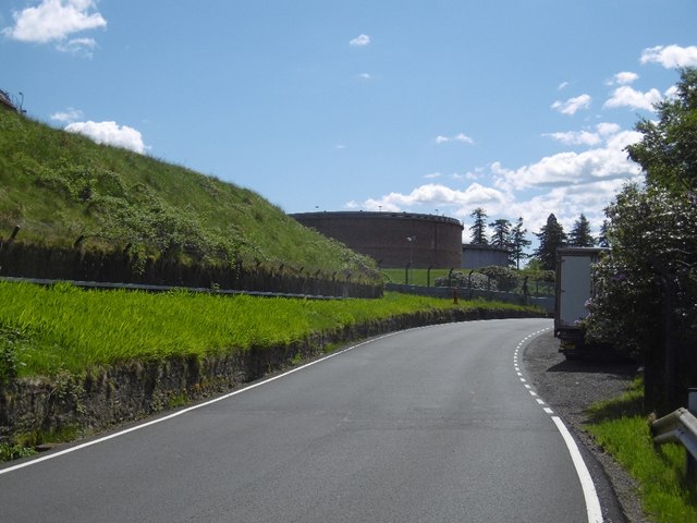
Finnart Oil Terminal
Finnart Oil Terminal, also known as Finnart Ocean Terminal or Chap Point, is an oil depot on the eastern shore of Loch Long, Firth of Clyde on the west...
Clach Bheinn (Lochgoilhead)
Clach Bheinn is a hill near Lochgoilhead in the Ardgoil Peninsula and is within the Arrochar Alps. The hill reaches a height of 441 m.

Loch Goil
Loch Goil; (Scottish Gaelic: Loch Goil) is a small sea loch forming part of the coast of the Cowal peninsula in Argyll and Bute, Scotland. The sea loch...
Have you been to Am Binnein?
Leave your review of Am Binnein below (or comments, questions and feedback).