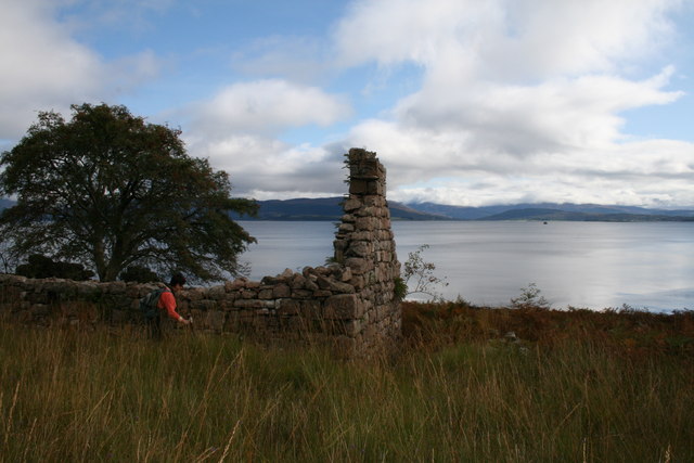
Camas Calltuinn

Bay in Argyllshire

Scotland

Camas Calltuinn

Rusting milepost on the B8043 near Kingairloch
Rusting milepost on the B8043 near Kingairloch Credit: Steven Brown

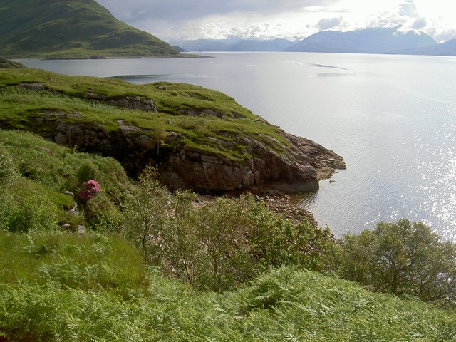
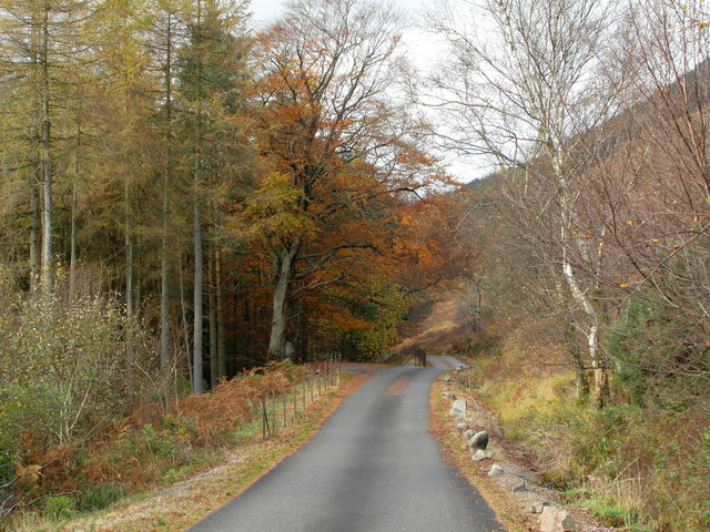
Camas Calltuinn is a picturesque bay located in Argyllshire, a region in western Scotland. Nestled on the west coast of Scotland, this bay offers breathtaking views and a tranquil atmosphere that attracts visitors from all over the world.

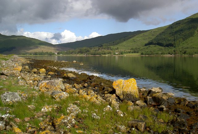
With its pristine sandy beach and crystal-clear turquoise waters, Camas Calltuinn is a paradise for beach lovers and nature enthusiasts. The bay is surrounded by lush green hills and cliffs, adding to its natural beauty and providing a stunning backdrop for those looking to relax and unwind.

The bay is also known for its rich marine life, making it a popular spot for snorkeling and diving. Visitors can explore the underwater world and discover a variety of colorful fish, coral reefs, and even the occasional seal or dolphin.

For those who enjoy outdoor activities, Camas Calltuinn offers plenty of opportunities for hiking, with several scenic trails that meander along the coastline and through the nearby hills. The bay is also a great spot for birdwatching, with a diverse range of bird species that can be spotted throughout the year.

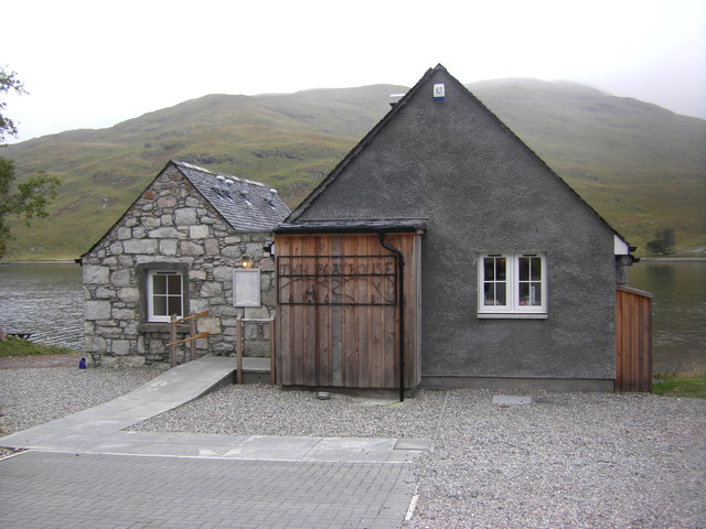
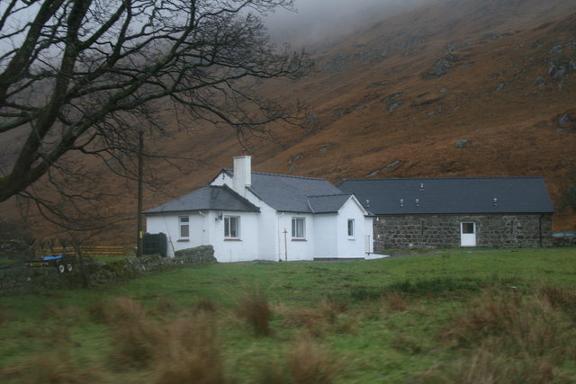
In addition to its natural attractions, Camas Calltuinn is home to a small community of locals who are known for their warm hospitality. Visitors can find cozy accommodations, charming cafes, and local shops where they can purchase unique souvenirs.

Camas Calltuinn is a hidden gem in Argyllshire, offering a serene escape from the bustling city life and providing a perfect destination for those seeking a peaceful retreat in the midst of stunning natural beauty.

If you have any feedback on the listing, please let us know in the comments section below.

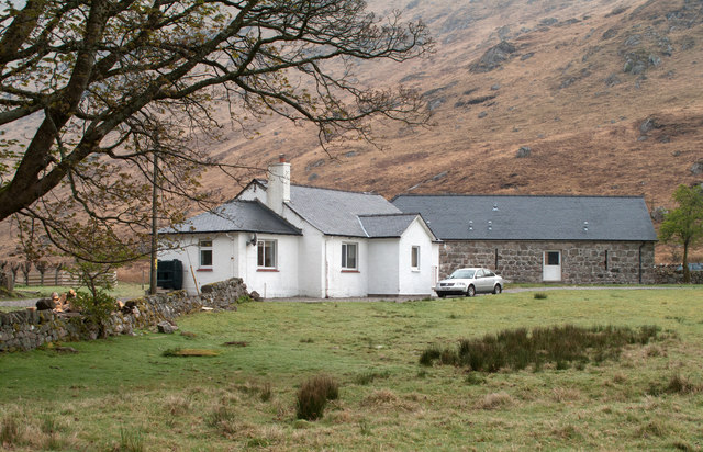
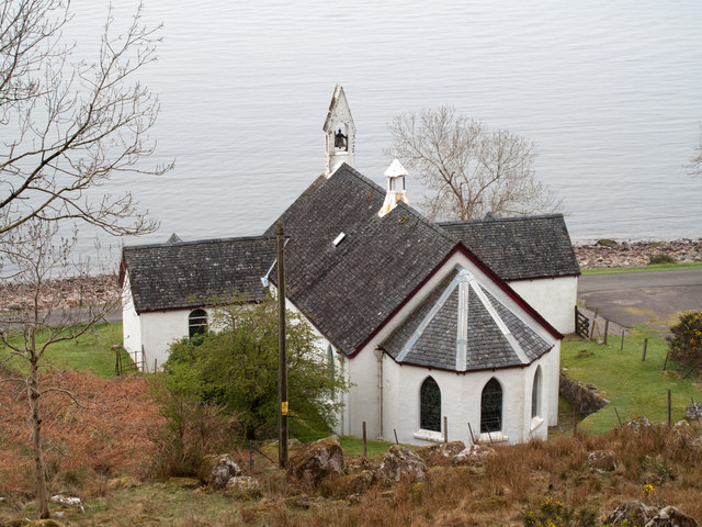
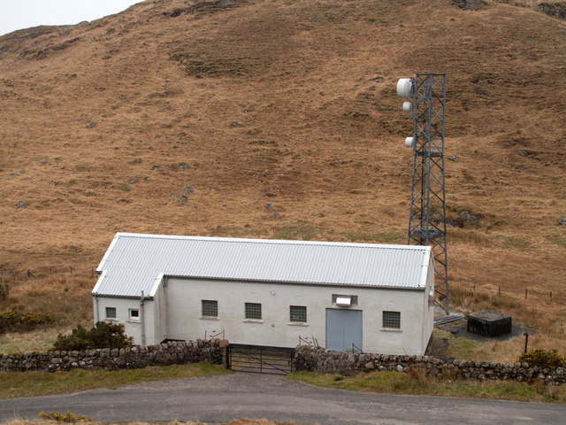
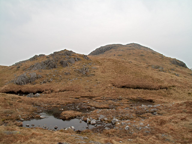
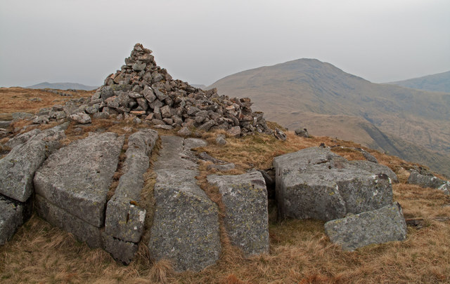
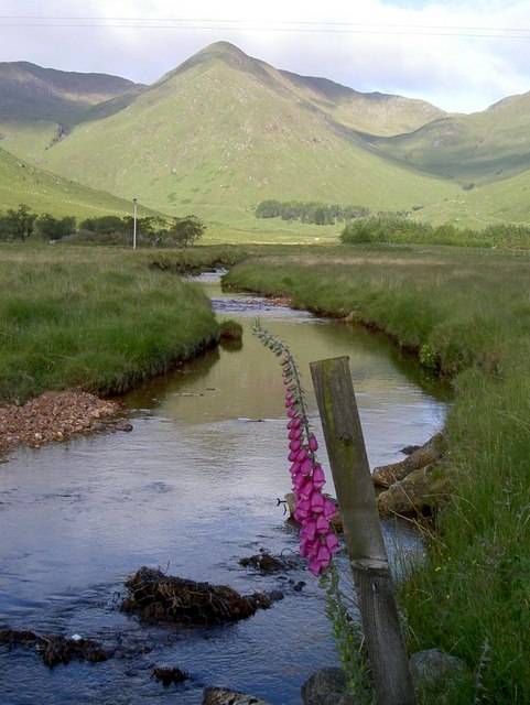
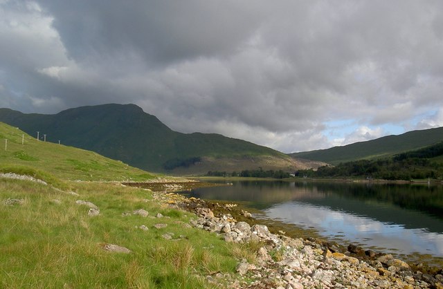
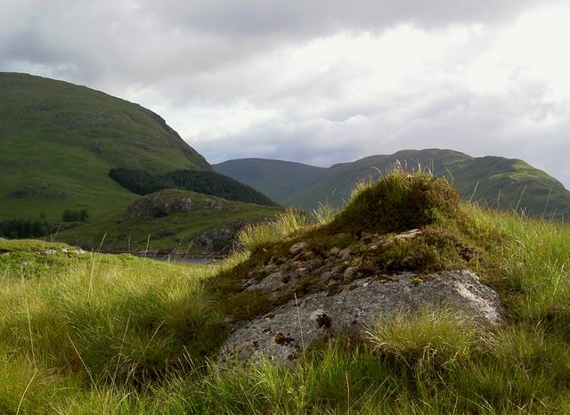
Camas Calltuinn Images

Images are sourced within 2km of 56.616363/-5.5061879 or Grid Reference NM8452. Thanks to Geograph Open Source API. All images are credited.

Rusting milepost on the B8043 near Kingairloch
B8043 at Kingairloch
Milepost beside the B8043 at Glengalmadale
Ruin at Ballachan a' Chaiginn
Glengalmadale Glengalmadale as a settlement consists of just two buildings; the farther one is now 'The Steadings', a B & B establishment' The view is from the rough car park close to the bridge over the Glengalmadale River.
Glengalmadale
Glengalmadale as a settlement consists of just two buildings; the farther one is now 'The Steadings', a B & B establishment' The view is from the rough car park close to the bridge over the Glengalmadale River.
Parish church at Camasnacroise Camasnacroise is a tiny settlement and the parish church of Kingairloch one of its few buildings; it was built in 1857. The water beyond is Loch Linnhe.
Parish church at Camasnacroise
Camasnacroise is a tiny settlement and the parish church of Kingairloch one of its few buildings; it was built in 1857. The water beyond is Loch Linnhe.
Telecoms aerial and building below Ceanna Mòr The B8043 crosses a low col almost at the foot of the south ridge of Beinn na Cille; placing the mast there presumably allows it to receive and transmit to and from the small settlements at both Kingairloch and Camasnacroise.
Telecoms aerial and building below Ceanna Mòr
The B8043 crosses a low col almost at the foot of the south ridge of Beinn na Cille; placing the mast there presumably allows it to receive and transmit to and from the small settlements at both Kingairloch and Camasnacroise.
Pool on south ridge of Beinne na Cille The south ridge of Beinn na Cille rises steeply from the B8043 as a  largely grassy feature but with some rock exposures; the lochan seen here lies at around 450m.
Pool on south ridge of Beinne na Cille
The south ridge of Beinn na Cille rises steeply from the B8043 as a largely grassy feature but with some rock exposures; the lochan seen here lies at around 450m.
Summit area and cairn of Beinn na Cille A partly grassed rock plinth supports the summit cairn of the Graham, Beinn na Cille; beyond is the Corbett, Fuar Bheinn and another Corbett, Creach Bheinn begins to rise to the right out of the picture.
Summit area and cairn of Beinn na Cille
A partly grassed rock plinth supports the summit cairn of the Graham, Beinn na Cille; beyond is the Corbett, Fuar Bheinn and another Corbett, Creach Bheinn begins to rise to the right out of the picture.
Abhainn na Fearna in summer The closing months of work on the 2007-2011 Bird Atlas project bring me back to this quiet spot, but no incentive is needed
Abhainn na Fearna in summer
The closing months of work on the 2007-2011 Bird Atlas project bring me back to this quiet spot, but no incentive is needed
Loch a' Choire south shore Once again man's appetite for electricity taints this idyllic scene
Loch a' Choire south shore
Once again man's appetite for electricity taints this idyllic scene
Ceanna Mor Tussocky grass smothers the bedrock and makes off-track trekking tricky
Ceanna Mor
Tussocky grass smothers the bedrock and makes off-track trekking tricky
Camas a' Chaiginn Sheltered behind Ceanna Mor, this tiny bay supports breeding Whitethroats and Willow Warblers.  An escaped rhododendron adds a splash of colour.
Camas a' Chaiginn
Sheltered behind Ceanna Mor, this tiny bay supports breeding Whitethroats and Willow Warblers. An escaped rhododendron adds a splash of colour.
Loch a' Choire A calm June morning promises showers later
Loch a' Choire
A calm June morning promises showers later
Boathouse Restaurant, Kingairloch
Glengalmadale
Glengalmadale
B8043 near Kingairloch
B8043 heading towards Glengalmadale
Show me another place!

Camas Calltuinn is located at Grid Ref: NM8452 (Lat: 56.616363, Lng: -5.5061879)

Unitary Authority: Highland

Police Authority: Highlands and Islands

What 3 Words

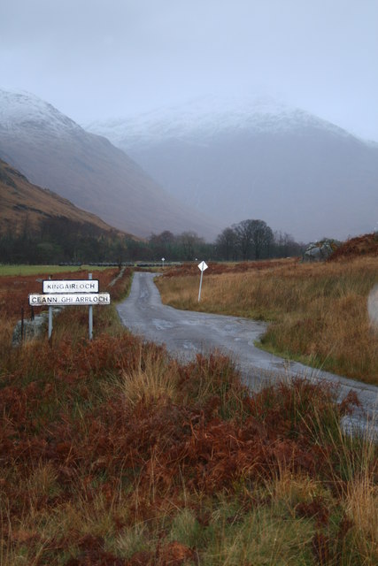
///hardening.mash.hands. Near Lochaline, Highland

Related Wikis

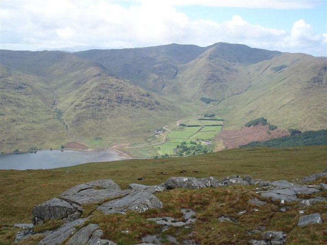
Beinn Mheadhoin (Morvern)

Beinn Mheadhoin (739 m) is a mountain in the Northwest Highlands of Scotland. It is located in the Morvern area of Lochaber. A peak of various ridges with...

Creach Bheinn (Morvern)

Creach Bheinn is a prominent mountain in the Morvern area in the west of Scotland. It is less steep and even less frequently climbed than its northern...

Glensanda

Glensanda (Old Norse, the glen of the sandy river) was a Viking settlement at the mouth of Glen Sanda on the Morvern peninsula within south west Lochaber...

Shuna Island

Shuna Island or simply Shuna is an island in Loch Linnhe, offshore from Appin, in Argyll and Bute, Scotland. The island is approximately two kilometres...

A861 road

The A861 road is a circuitous, primarily coastal, road in Lochaber, within the Highland council area of Scotland.The A861 serves the communities of the...

Castle Stalker

Castle Stalker (Scottish Gaelic: Caisteal an Stalcaire) is a four-storey tower house or keep in the Scottish county Argyll. It is set on a tidal islet...

Castle Coeffin

Castle Coeffin is a ruin on the island of Lismore, an island in Loch Linnhe, in Argyll, on the west coast of Scotland. It stands on a promontory on the...

Appin railway station

Appin was a railway station in Scotland, close to the Sound of Shuna on the east shore of Loch Laiche - an arm of Loch Linnhe, Portnacroish, Appin in Argyll...

Related Videos

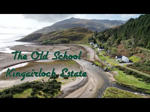
The Old School, Kingairloch Estate, Morven Peninsula

Nestled between the salty shores of Loch Linnhe and the granite peaks of the Morven Peninsula lies Kingairloch Estate - the ...

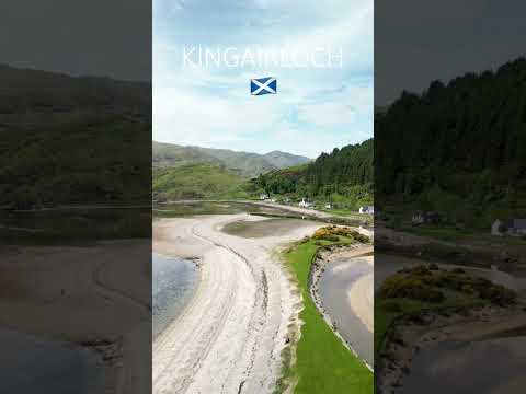
Kingairloch, Morvern Peninsula - Scottish Highlands (Link for full video in description)

Full Video - https://youtu.be/ca1kaaqiUPM Song - Within Our Nature Artist - Scott Buckley #kingairlochestate #scotland #uk ...
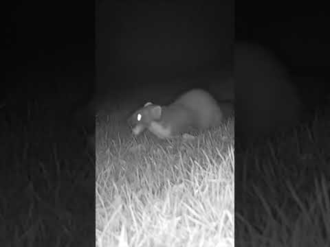
Pine Marten #shorts

Filmed in Kingairloch in the Scottish Highlands.

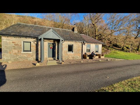
Kingairloch Estate - December 2022

These are a collection of videos I've extracted from the Marco Polo app, which I'd recorded for friends. These aren't professionally ...

Nearby Amenities

Located within 500m of 56.616363,-5.5061879
Power: pole
Lat/Long: 56.6165031/-5.4980312
Power: pole
Lat/Long: 56.6168194/-5.4990358
Power: pole
Lat/Long: 56.61699/-5.5003623
Power: pole
Lat/Long: 56.6171646/-5.5017397
Power: pole
Lat/Long: 56.617532/-5.5029164
Power: pole
Lat/Long: 56.6178022/-5.5038132
Power: pole
Lat/Long: 56.6180609/-5.5046157
Power: pole
Lat/Long: 56.618322/-5.5054481
Power: pole
Lat/Long: 56.6184596/-5.5066578
Power: pole
Lat/Long: 56.6185782/-5.5077103
Power: pole
Lat/Long: 56.6187108/-5.5088354
Power: pole
Lat/Long: 56.6188558/-5.510114
Power: pole
Lat/Long: 56.618981/-5.5111785
Power: pole
Lat/Long: 56.6189233/-5.5121472
Power: pole
Lat/Long: 56.617906/-5.5066908
Power: pole
Lat/Long: 56.6172247/-5.5067447
Power: pole
Lat/Long: 56.6172239/-5.5074513
Power: pole
Lat/Long: 56.617289/-5.5080681
Power: pole
Lat/Long: 56.6175007/-5.5085158
The data included in this document is from www.openstreetmap.org. The data is made available under ODbL.

Have you been to Camas Calltuinn?

Leave your review of Camas Calltuinn below (or comments, questions and feedback).