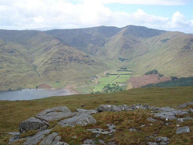
Loch a' Choire

Sea, Estuary, Creek in Argyllshire

Scotland

Loch a' Choire

Loch a' Choire View past the head of the loch towards Kingairloch House.
Loch a' Choire Credit: Richard Webb

The requested URL returned error: 429 Too Many Requests

If you have any feedback on the listing, please let us know in the comments section below.

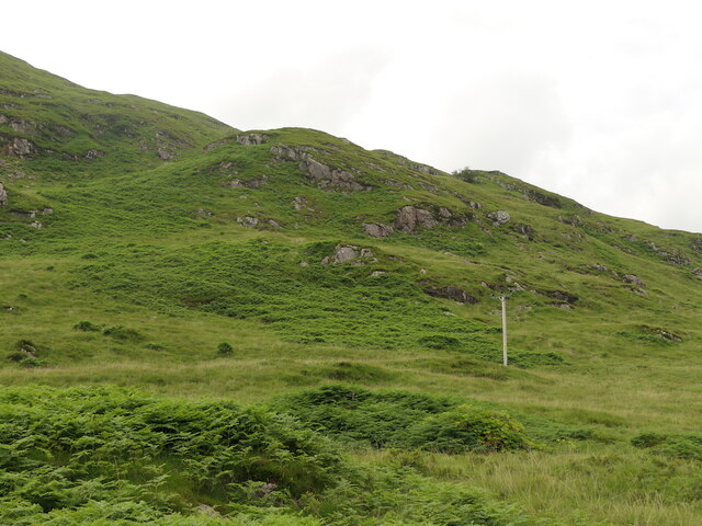
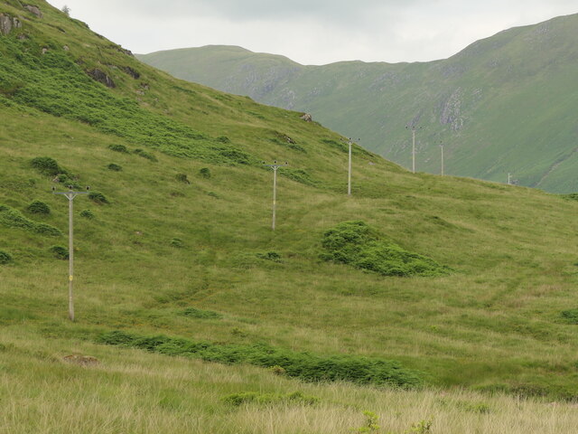
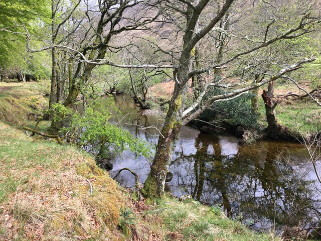
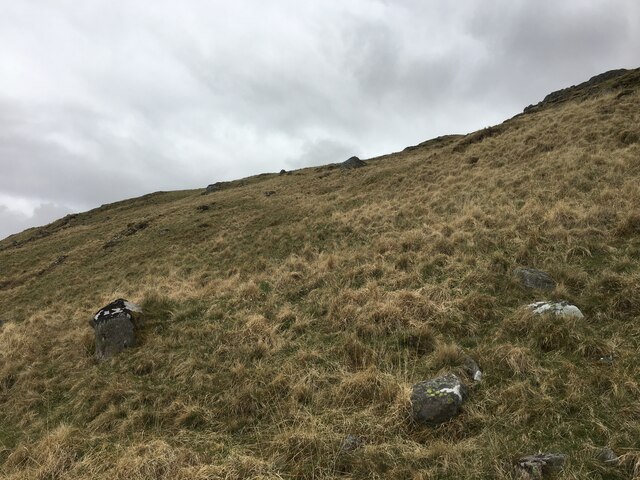
Loch a' Choire Images

Images are sourced within 2km of 56.612417/-5.5064577 or Grid Reference NM8452. Thanks to Geograph Open Source API. All images are credited.

Loch a' Choire View past the head of the loch towards Kingairloch House.
Loch a' Choire
View past the head of the loch towards Kingairloch House.
Beinn na Cille Steep slopes above Loch a' Choire. There have been some landslides which damaged the road. There is the scar from one of them on the right.
Beinn na Cille
Steep slopes above Loch a' Choire. There have been some landslides which damaged the road. There is the scar from one of them on the right.
Beech and rhodies, Kingairloch Behind Seaview Cottage, one of the estate's holiday lets.
Beech and rhodies, Kingairloch
Behind Seaview Cottage, one of the estate's holiday lets.
Slabs, Loch a' Choire Bare rock on the rather rough coast path.
Slabs, Loch a' Choire
Bare rock on the rather rough coast path.
Loch a' Choire The path along the southern shore.
Loch a' Choire
The path along the southern shore.
Camas an Uillt Chriche South shore of Loch a' Choire
Camas an Uillt Chriche
South shore of Loch a' Choire
Creag Ghlas Lower slopes of Beinn Mheadhoin.
Creag Ghlas
Lower slopes of Beinn Mheadhoin.
South shore of Loch a' Choire Looking along the very rough path.
South shore of Loch a' Choire
Looking along the very rough path.
Power line, Kingairloch Running along the south shoreline of Loch a' Choire.
Power line, Kingairloch
Running along the south shoreline of Loch a' Choire.
South side of Loch a' Choire
Ceanna Mòr and the fish farm Loch a' Choire, Kingairloch
Ceanna Mòr and the fish farm
Loch a' Choire, Kingairloch
Seaview Cottage, Kingairloch The end of the road at one of the Kingairloch Estate's holiday lets.
Seaview Cottage, Kingairloch
The end of the road at one of the Kingairloch Estate's holiday lets.
Glengalmadale River
Glengalmadale River
Church and bay at Camasnacroise
Slopes of Beinn na Cille
Old Post Office, Kingairloch Now a holiday cottage.
Old Post Office, Kingairloch
Now a holiday cottage.
Seaview Cottage, Kingairloch A holiday cottage.
Seaview Cottage, Kingairloch
A holiday cottage.
Head of Loch a' Choire View to Beinn Mheadhoin
Head of Loch a' Choire
View to Beinn Mheadhoin
Show me another place!

Loch a' Choire is located at Grid Ref: NM8452 (Lat: 56.612417, Lng: -5.5064577)

Unitary Authority: Highland

Police Authority: Highlands and Islands

What 3 Words

///familiar.truckload.ultra. Near Lochaline, Highland

Related Wikis

Beinn Mheadhoin (Morvern)

Beinn Mheadhoin (739 m) is a mountain in the Northwest Highlands of Scotland. It is located in the Morvern area of Lochaber. A peak of various ridges with...

Creach Bheinn (Morvern)

Creach Bheinn is a prominent mountain in the Morvern area in the west of Scotland. It is less steep and even less frequently climbed than its northern...

Glensanda

Glensanda (Old Norse, the glen of the sandy river) was a Viking settlement at the mouth of Glen Sanda on the Morvern peninsula within south west Lochaber...

Shuna Island

Shuna Island or simply Shuna is an island in Loch Linnhe, offshore from Appin, in Argyll and Bute, Scotland. The island is approximately two kilometres...

Nearby Amenities

Located within 500m of 56.612417,-5.5064577
Power: pole
Lat/Long: 56.6102013/-5.5131106
Power: pole
Lat/Long: 56.6099278/-5.5120686
Power: pole
Lat/Long: 56.6097844/-5.5111643
Power: pole
Lat/Long: 56.6095554/-5.5098019
Power: pole
Lat/Long: 56.6093741/-5.5088167
Power: pole
Lat/Long: 56.6091253/-5.5074064
Power: pole
Lat/Long: 56.6088946/-5.50602
Power: pole
Lat/Long: 56.6086375/-5.5046007
Power: pole
Lat/Long: 56.6084414/-5.5035138
The data included in this document is from www.openstreetmap.org. The data is made available under ODbL.

Have you been to Loch a' Choire?

Leave your review of Loch a' Choire below (or comments, questions and feedback).