Camas na Cailinn

Bay in Inverness-shire

Scotland

Camas na Cailinn

The straight road to Corran
The straight road to Corran Credit: David Medcalf

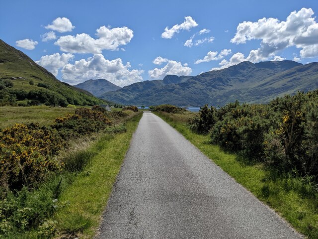
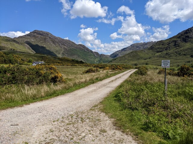
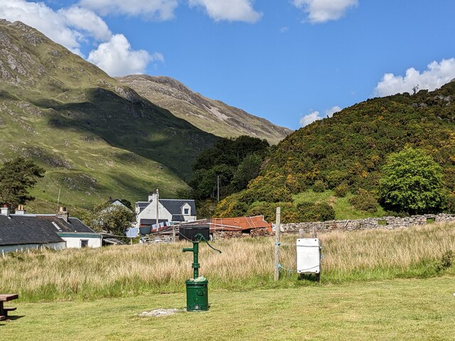
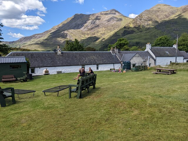
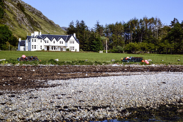
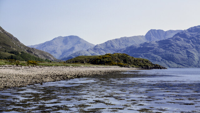
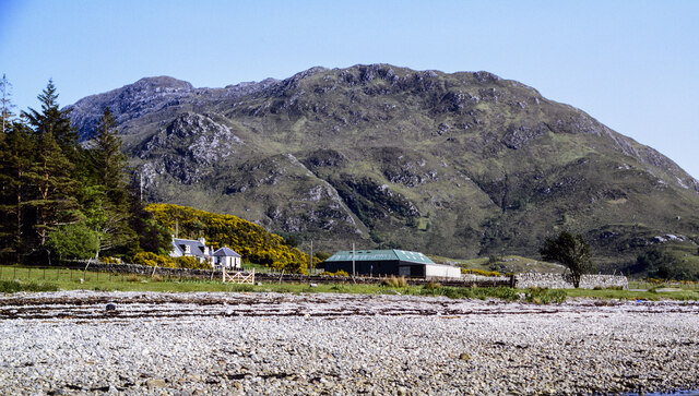
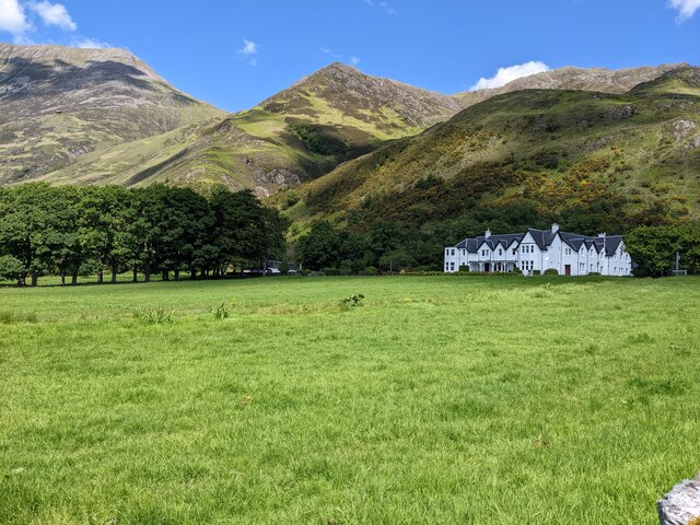
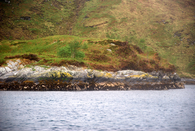
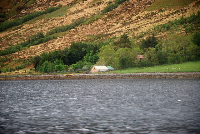
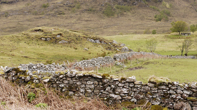
Camas na Cailinn, located in Inverness-shire, Scotland, is a picturesque bay known for its stunning natural beauty and tranquil atmosphere. The bay is nestled along the rugged coastline of the Scottish Highlands, offering visitors a peaceful retreat surrounded by lush greenery and rocky cliffs.

Camas na Cailinn is a popular spot for outdoor enthusiasts and nature lovers, who come to explore the sandy beaches, crystal-clear waters, and impressive sea stacks that dot the shoreline. The bay is also a great spot for birdwatching, with a variety of seabirds and other wildlife often spotted in the area.

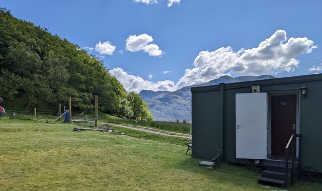
The bay is easily accessible by car or on foot, with a small parking area nearby for those driving. Visitors can enjoy walks along the shoreline, picnics on the beach, or simply take in the stunning views of the surrounding landscape.

Overall, Camas na Cailinn is a hidden gem in Inverness-shire, offering a peaceful and scenic escape for those looking to connect with nature and unwind in a beautiful coastal setting.

If you have any feedback on the listing, please let us know in the comments section below.

Camas na Cailinn Images

Images are sourced within 2km of 57.115517/-5.5530355 or Grid Reference NG8408. Thanks to Geograph Open Source API. All images are credited.

The straight road to Corran
The private road to Glenfield Cottage As advertised on the sign.
The private road to Glenfield Cottage
As advertised on the sign.
The toilet block at the café
An old water pump in the café field With the great cleft of Glen Arnisdale beyond.
An old water pump in the café field
With the great cleft of Glen Arnisdale beyond.
The tea garden behind Sheena's café
Strand line at Camas Bàn Camas Bàn is a bay on the northern side of Loch Hourn; the view is from a pier projecting into that sea loch. Arnisdale Lodge is the large white house.
Strand line at Camas Bàn
Camas Bàn is a bay on the northern side of Loch Hourn; the view is from a pier projecting into that sea loch. Arnisdale Lodge is the large white house.
Stony shore at east side of Camas Bàn A view along the stony shore of the bay which is a feature of the northern side of Loch Hourn. The low, central knoll beyond the shore is Crudha Àrd.
Mountains of Knoydart lie in the distance, across Loch Hourn.
Stony shore at east side of Camas Bàn
A view along the stony shore of the bay which is a feature of the northern side of Loch Hourn. The low, central knoll beyond the shore is Crudha Àrd. Mountains of Knoydart lie in the distance, across Loch Hourn.
Shingle beach at eastern side of Camas Bàn Camas Bàn is a small bay of the northern side of Loch Hourn.
The mountain ridge rising above the buildings is the western end of an extended feature, Druim Fada; the distant top along it must be a knoll of Sgùrr Mor at 614 or 627 m. but there's a higher point further to the east, out of sight.
Shingle beach at eastern side of Camas Bàn
Camas Bàn is a small bay of the northern side of Loch Hourn. The mountain ridge rising above the buildings is the western end of an extended feature, Druim Fada; the distant top along it must be a knoll of Sgùrr Mor at 614 or 627 m. but there's a higher point further to the east, out of sight.
Looking towards Arnisdale Lodge
View from Corran
View from Corran
Eilean a' Phiobaire This low flattish islet is difficult to pick out in poor weather as it blends into the background scenery.
Eilean a' Phiobaire
This low flattish islet is difficult to pick out in poor weather as it blends into the background scenery.
Camas Domhain A lovely Knoydart bay with a remote settlement by the name of Li.
Camas Domhain
A lovely Knoydart bay with a remote settlement by the name of Li.
The Ceilidh House, Corran
River Arnisdale
River Arnisdale
Sgeir Liathan
Sgeir Liathan
Sheena's Tea Hut At the last house in Corran.
Sheena's Tea Hut
At the last house in Corran.
Foreshore of Loch Hourn The shingle beach of Loch Hourn as seen from the road end at Corran. Ladhar Bheinn is snow capped on the far side of the loch.
Foreshore of Loch Hourn
The shingle beach of Loch Hourn as seen from the road end at Corran. Ladhar Bheinn is snow capped on the far side of the loch.
Walls and fields in Glen Arnisdale The valley bottom of Glen Arnisdale despite its low altitude - effectively sea level - has at best, just marginal farmland.
Walls and fields in Glen Arnisdale
The valley bottom of Glen Arnisdale despite its low altitude - effectively sea level - has at best, just marginal farmland.
Show me another place!

Camas na Cailinn is located at Grid Ref: NG8408 (Lat: 57.115517, Lng: -5.5530355)

Unitary Authority: Highland

Police Authority: Highlands and Islands

What 3 Words

///stems.rainfall.habit. Near Glenelg, Highland

Related Wikis

Corran, Loch Hourn

Corran (Scottish Gaelic: An Corran) is a hamlet on the northern shore of Loch Hourn, in Lochalsh in Inverness-shire in the Highlands of Scotland. It is...

Arnisdale

Arnisdale (Scottish Gaelic: Àrnasdal) is a hamlet in the historic county of Inverness-shire in the local authority area of Highlands of Scotland. It lies...

Arnisdale Free Church

Arnisdale Free Church is a church building at one time connected to the Free Church of Scotland. It is sited in Arnisdale, Inverness-shire, Scotland. According...

Loch Hourn

Loch Hourn (Scottish Gaelic: Loch Shubhairne) is a sea loch which separates the peninsulas of Glenelg to the north and Knoydart to the south, on the west...

Nearby Amenities

Located within 500m of 57.115517,-5.5530355
Created By: almien_coastlines
Source: PGS
Lat/Long: 57.115455/-5.557815
Source: PGS
Lat/Long: 57.1158716/-5.5578406
Source: PGS
Lat/Long: 57.1159881/-5.5574544
Created By: almien_coastlines
Source: PGS
Lat/Long: 57.115725/-5.557128
Source: PGS
Lat/Long: 57.1153823/-5.5573256
Source: survey
Lat/Long: 57.1197092/-5.5528898
Source: survey
Lat/Long: 57.1188022/-5.5525388
Source: survey
Lat/Long: 57.1183511/-5.5523365
Source: PGS
Lat/Long: 57.1178901/-5.5519724
Source: PGS
Lat/Long: 57.1178057/-5.5516099
Source: PGS
Lat/Long: 57.1176194/-5.5511543
Created By: almien_coastlines
Source: PGS
Lat/Long: 57.113272/-5.55178
Created By: almien_coastlines
Source: PGS
Lat/Long: 57.113012/-5.551997
Source: PGS
Lat/Long: 57.1128484/-5.5528907
Source: PGS
Lat/Long: 57.1125552/-5.5525975
Created By: almien_coastlines
Source: PGS
Lat/Long: 57.112362/-5.552423
Source: PGS
Lat/Long: 57.1122997/-5.5520005
Source: PGS
Lat/Long: 57.1121286/-5.5520045
Source: PGS
Lat/Long: 57.1118517/-5.5505023
Source: PGS
Lat/Long: 57.1116721/-5.5506009
Created By: almien_coastlines
Source: PGS
Lat/Long: 57.111633/-5.55049
Created By: almien_coastlines
Source: PGS
Lat/Long: 57.111511/-5.550247
Source: PGS
Lat/Long: 57.1117391/-5.5498978
Barrier: kissing_gate
Source: survey
Lat/Long: 57.1186156/-5.5521015
Camas na Cailinn
Natural: bay
Lat/Long: 57.1156658/-5.5538834
Rubha Camas na Cailinn
Natural: cape
Lat/Long: 57.1126598/-5.5525102
The data included in this document is from www.openstreetmap.org. The data is made available under ODbL.

Have you been to Camas na Cailinn?

Leave your review of Camas na Cailinn below (or comments, questions and feedback).