Camas Bàn
Bay in Ross-shire
Scotland
Camas Bàn
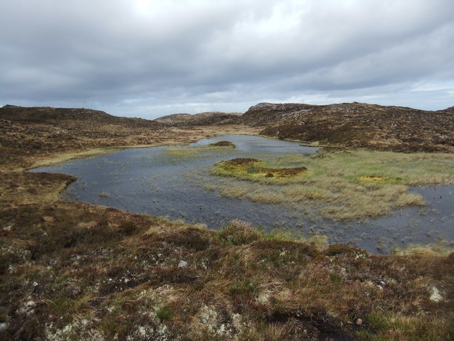
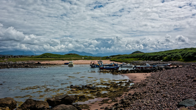
Camas Bàn is a beautiful bay located in Ross-shire, a county in the Scottish Highlands. This bay is renowned for its stunning natural scenery and is a popular destination for both locals and tourists alike. Its name, Camas Bàn, translates to "white bay" in Gaelic, which accurately describes the pristine sandy beach that lines its shores.
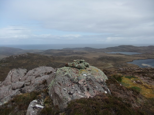
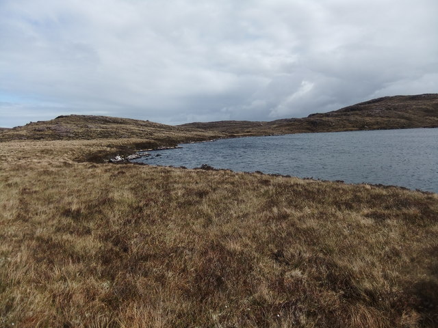
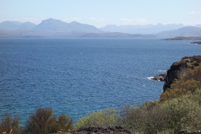
Situated on the western coast of Scotland, Camas Bàn offers breathtaking panoramic views of the surrounding landscape. The bay is enclosed by rolling hills and majestic mountains, creating a picturesque backdrop that adds to its charm. Visitors to the area can marvel at the tranquil waters of the bay, which often reflect the vibrant colors of the sky during sunrise and sunset.
Camas Bàn is not only visually stunning, but it also boasts a rich biodiversity. The bay is home to a diverse range of marine life, including various species of fish, seals, and occasionally dolphins and whales. Birdwatchers will be delighted by the presence of numerous seabirds that frequent the area, such as gannets, puffins, and guillemots.
For those seeking outdoor activities, Camas Bàn offers ample opportunities for exploring and adventure. The bay is a popular spot for kayaking, sailing, and fishing. Hikers will find several scenic trails that wind their way through the surrounding hills, providing breathtaking views of the bay and its surroundings.
In summary, Camas Bàn in Ross-shire is a picturesque bay that offers visitors a chance to experience the natural beauty of the Scottish Highlands. With its sandy beach, stunning views, and diverse wildlife, it is a must-visit destination for nature enthusiasts and those seeking tranquility in a breathtaking setting.
If you have any feedback on the listing, please let us know in the comments section below.
Camas Bàn Images
Images are sourced within 2km of 57.859954/-5.6868895 or Grid Reference NG8191. Thanks to Geograph Open Source API. All images are credited.
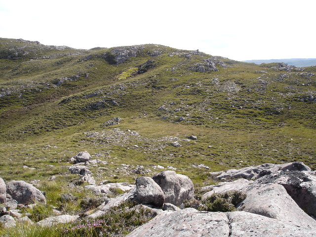
![Sgeir Gorma The coastline at Caolas an Fhuraidh with the reef of Sgeir Gorma in the foreground and the islet of Eilean Furadh Beag further out. Along the horizon are an array of diatant mountains, including [l-r] Arkle, Quinag, Suilven, canisp, Stac Pollaidh, Cul Mor and Ben Mor Coigach.](https://s2.geograph.org.uk/photos/92/70/927022_e6012895.jpg)
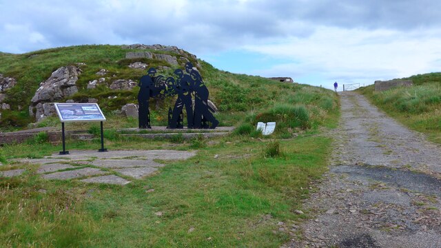
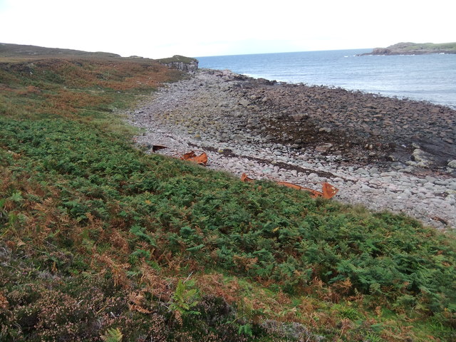
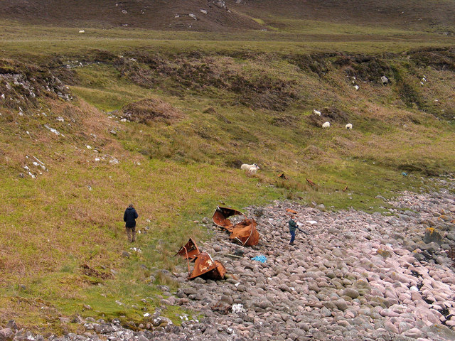
![Shipwreck memorial A memorial to the crew of the USS William H Welch which foundered on nearby rocks in the early hours of Saturday 26th February 1944. The ship was caught in a fierce northerly gale and blizzard, missed the entrance to Loch Ewe and hit rocks on Eilean Furadh Mor [the island seen offshore]. Of a crew of 74, only 12 survived, the lucky ones being swept ashore by huge seas. The memorial also list those who came to help, including local people who walked across open boggy moorland with blankets, hot drinks etc for the survivors.](https://s3.geograph.org.uk/photos/92/72/927215_e5ba4882.jpg)


Camas Bàn is located at Grid Ref: NG8191 (Lat: 57.859954, Lng: -5.6868895)
Unitary Authority: Highland
Police Authority: Highlands and Islands
What 3 Words
///blubber.shakes.grapevine. Near Gairloch, Highland
Nearby Locations
Related Wikis

Cove, Highland
Cove is a remote hamlet located on the northwestern shore of the sea loch Loch Ewe, and 8 mi (13 km) northwest of Poolewe in Ross-shire, Scottish Highlands...

Mellon Charles
Mellon Charles (Scottish Gaelic: Meallan Theàrlaich) is a remote crofting village on the north east shore of Loch Ewe near Gairloch in Wester Ross, in...

Ormiscaig
Ormiscaig (Scottish Gaelic: Ormasgaig) is a remote crofting village on the north east shore of Loch Ewe in Achnasheen, Ross-shire, Scottish Highlands and...

Loch Ewe
Loch Ewe (Scottish Gaelic: Loch Iùbh) is a sea loch in the region of Wester Ross in the Northwest Highlands of Scotland. The shores are inhabited by a...
Nearby Amenities
Located within 500m of 57.859954,-5.6868895Have you been to Camas Bàn?
Leave your review of Camas Bàn below (or comments, questions and feedback).