Saredon, Little
Settlement in Staffordshire South Staffordshire
England
Saredon, Little

Saredon is a small village located in the district of South Staffordshire, within the county of Staffordshire, England. It is situated approximately 5 miles southeast of the town of Cannock and 13 miles north of Wolverhampton. Saredon is a rural community with a population of around 700 residents.
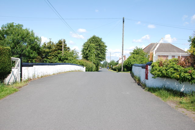
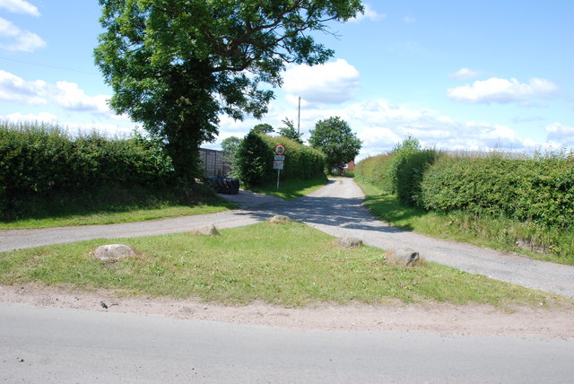
The village is surrounded by picturesque countryside, characterized by rolling hills and farmland. It is known for its tranquil atmosphere and natural beauty, making it an ideal location for those seeking a peaceful retreat away from the hustle and bustle of city life.
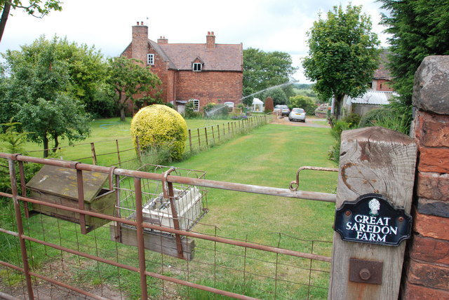
One of the notable landmarks in Saredon is the Saredon Mill House, a historic building dating back to the 19th century. The mill was once a thriving industrial site, producing flour and other agricultural products. Today, it stands as a reminder of the village's rich heritage.
Saredon is a close-knit community with a strong sense of community spirit. The village has a primary school, providing education for local children, and a village hall that hosts various social and recreational activities for residents.
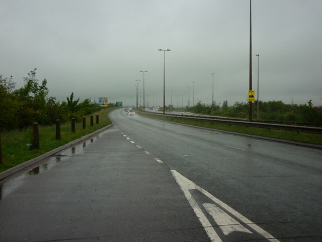
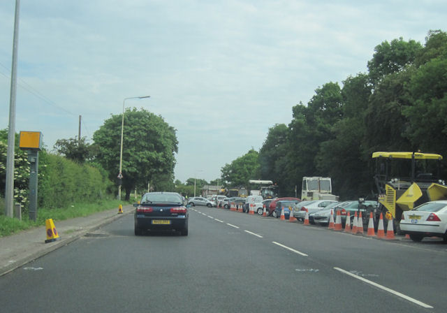
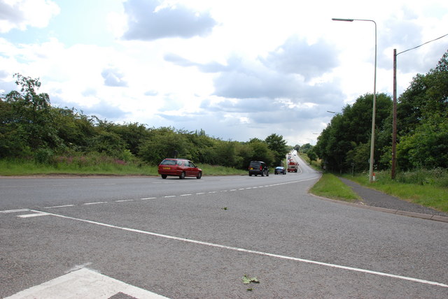
Despite its small size, Saredon benefits from good transportation links. The A449 road passes through the village, connecting it to nearby towns and cities. Additionally, the village is served by regular bus services, providing easy access to surrounding areas.
Overall, Saredon offers a peaceful and idyllic rural lifestyle, surrounded by natural beauty and a strong sense of community. It is a place where residents can enjoy the tranquility of the countryside while still being within reach of essential amenities and nearby urban centers.
If you have any feedback on the listing, please let us know in the comments section below.
Saredon, Little Images
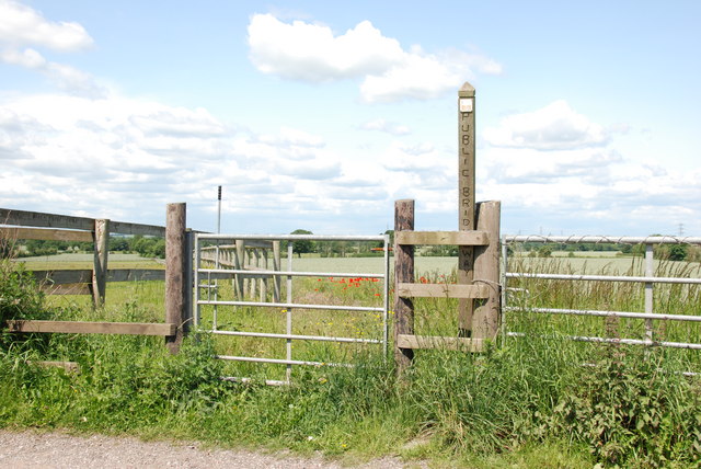
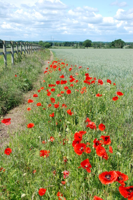
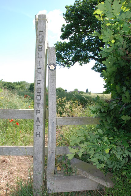
Images are sourced within 2km of 52.661569/-2.077591 or Grid Reference SJ9407. Thanks to Geograph Open Source API. All images are credited.


Saredon, Little is located at Grid Ref: SJ9407 (Lat: 52.661569, Lng: -2.077591)
Administrative County: Staffordshire
District: South Staffordshire
Police Authority: Staffordshire
What 3 Words
///drama.riverbed.tropic. Near Featherstone, Staffordshire
Nearby Locations
Related Wikis

Shareshill
Shareshill is a village and civil parish in the South Staffordshire district, in the county of Staffordshire, England. The population as measured in the...
Saredon
Saredon is a civil parish in South Staffordshire district, Staffordshire, England, situated to the north east of Wolverhampton, West Midlands, and to the...
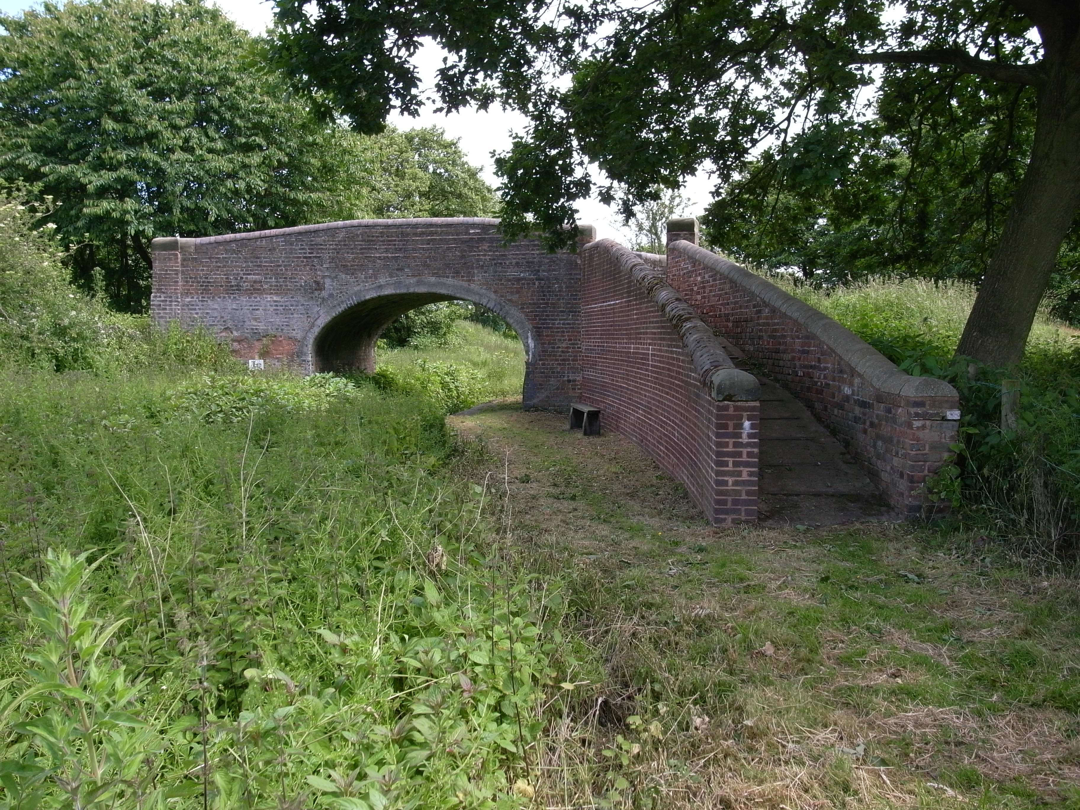
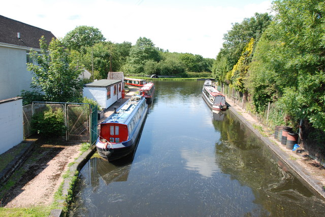
Hatherton Canal
The Hatherton Canal is a derelict branch of the Staffordshire and Worcestershire Canal in south Staffordshire, England. It was constructed in two phases...
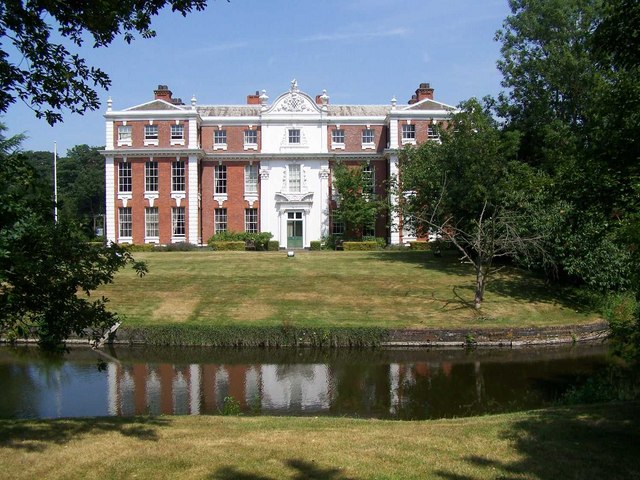
Hilton Hall
Hilton Hall is an 18th-century mansion house now in use as an Office and Business Centre at Hilton, near Wolverhampton, in Staffordshire. It is a Grade...
Wedges Mills
Wedges Mills is a small village in the South Staffordshire District in Staffordshire, England, close to the border with Cannock Chase District. The area...

Featherstone, Staffordshire
Featherstone is a town in the district of South Staffordshire, England, near to the border with Wolverhampton. == History == Originally a farming community...
Cheslyn Hay Academy
Cheslyn Hay Academy (formerly Cheslyn Hay Sport and Community High School) is a mixed secondary school and sixth form located in Cheslyn Hay in the English...

Hilton Park services
Hilton Park services is a motorway service station, between junctions 10a and 11 of the M6 motorway in Staffordshire, England. The nearest city is Wolverhampton...
Nearby Amenities
Located within 500m of 52.661569,-2.077591Have you been to Saredon, Little?
Leave your review of Saredon, Little below (or comments, questions and feedback).