Little Saredon
Settlement in Staffordshire South Staffordshire
England
Little Saredon

Little Saredon is a small village located in the county of Staffordshire, England. Situated approximately 6 miles southeast of the town of Wolverhampton, it falls under the South Staffordshire district. With a population of around 200 residents, it is known for its picturesque and peaceful setting.
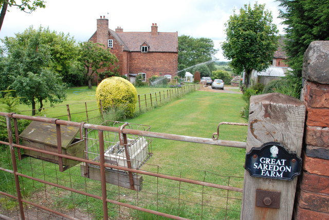
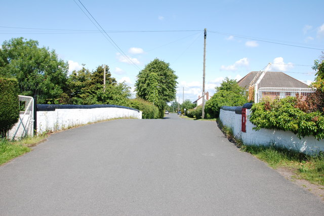
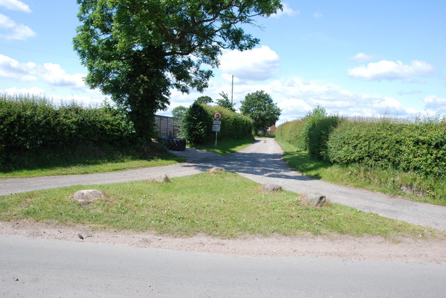
The village is surrounded by beautiful countryside, characterized by rolling hills and scenic landscapes. It is primarily a residential area, with a few small farms and agricultural activities scattered throughout. The architecture of Little Saredon is predominantly traditional, with charming cottages and a few larger, modern houses.
One of the notable landmarks in the village is the All Saints Church, a historic place of worship that dates back to the 12th century. The church's architecture showcases a mix of Gothic and Norman styles, and it serves as a focal point for the local community.
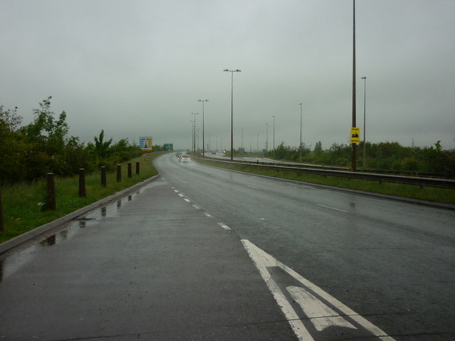
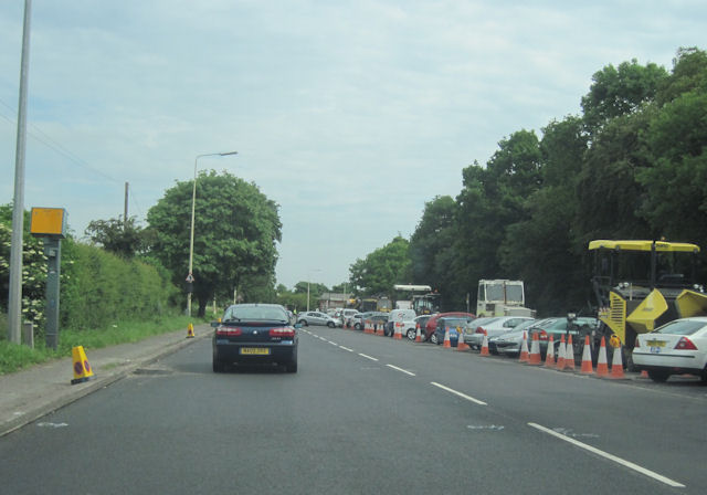
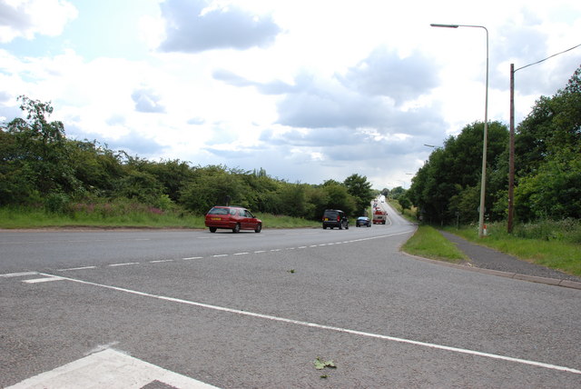
While Little Saredon does not have its own school or shops, it benefits from its proximity to nearby towns and villages, where residents can access essential services. The village is well-connected, with good road links to Wolverhampton and Stafford, making it convenient for commuters and visitors alike.
Overall, Little Saredon offers a tranquil and idyllic rural lifestyle, appealing to those seeking a peaceful retreat away from the hustle and bustle of urban areas. Its natural beauty and historic charm make it an attractive destination for nature lovers and history enthusiasts.
If you have any feedback on the listing, please let us know in the comments section below.
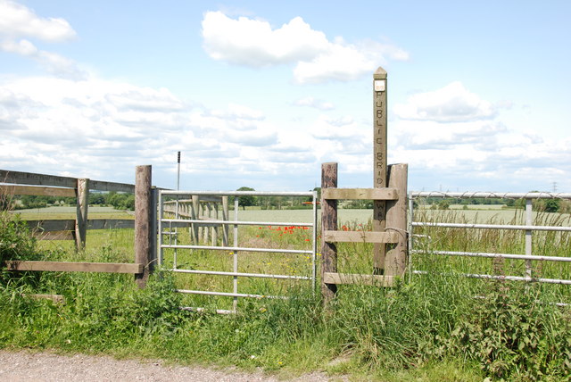
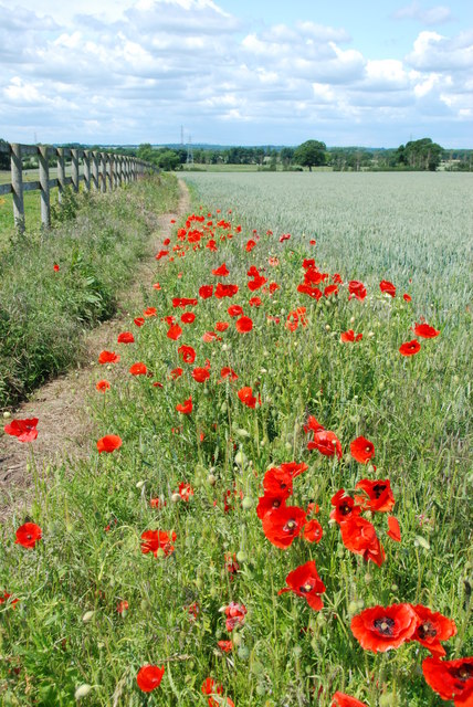
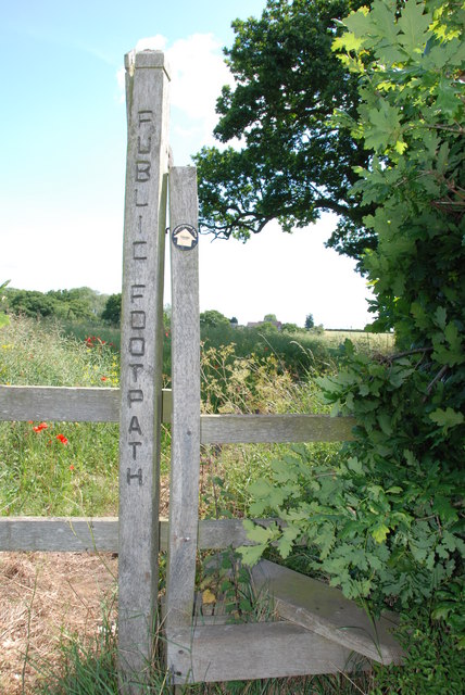
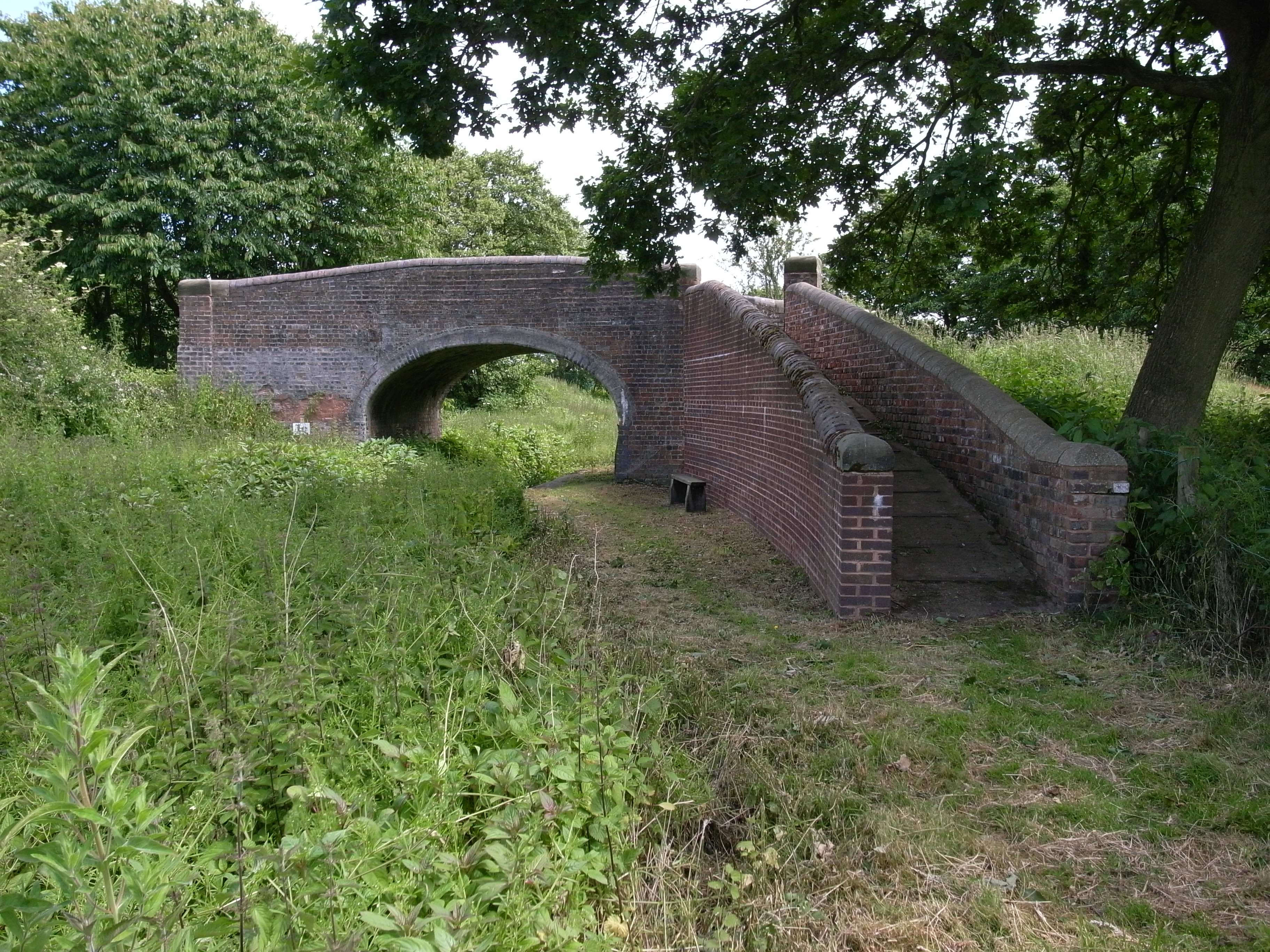
Little Saredon Images
Images are sourced within 2km of 52.661569/-2.077591 or Grid Reference SJ9407. Thanks to Geograph Open Source API. All images are credited.


Little Saredon is located at Grid Ref: SJ9407 (Lat: 52.661569, Lng: -2.077591)
Administrative County: Staffordshire
District: South Staffordshire
Police Authority: Staffordshire
What 3 Words
///drama.riverbed.tropic. Near Featherstone, Staffordshire
Nearby Locations
Related Wikis

Shareshill
Shareshill is a village and civil parish in the South Staffordshire district, in the county of Staffordshire, England. The population as measured in the...
Saredon
Saredon is a civil parish in South Staffordshire district, Staffordshire, England, situated to the north east of Wolverhampton, West Midlands, and to the...
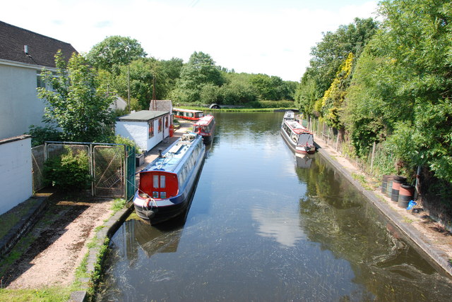
Hatherton Canal
The Hatherton Canal is a derelict branch of the Staffordshire and Worcestershire Canal in south Staffordshire, England. It was constructed in two phases...
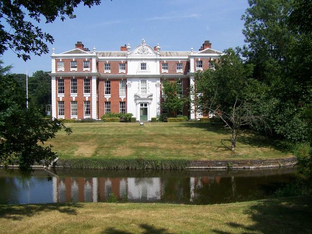
Hilton Hall
Hilton Hall is an 18th-century mansion house now in use as an Office and Business Centre at Hilton, near Wolverhampton, in Staffordshire. It is a Grade...
Wedges Mills
Wedges Mills is a small village in the South Staffordshire District in Staffordshire, England, close to the border with Cannock Chase District. The area...

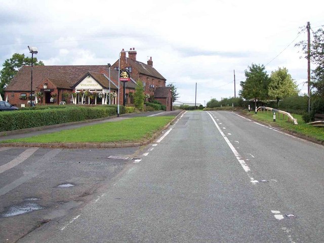
Featherstone, Staffordshire
Featherstone is a town in the district of South Staffordshire, England, near to the border with Wolverhampton. == History == Originally a farming community...
Cheslyn Hay Academy
Cheslyn Hay Academy (formerly Cheslyn Hay Sport and Community High School) is a mixed secondary school and sixth form located in Cheslyn Hay in the English...

Hilton Park services
Hilton Park services is a motorway service station, between junctions 10a and 11 of the M6 motorway in Staffordshire, England. The nearest city is Wolverhampton...
Nearby Amenities
Located within 500m of 52.661569,-2.077591Have you been to Little Saredon?
Leave your review of Little Saredon below (or comments, questions and feedback).