Saredon Hill
Hill, Mountain in Staffordshire South Staffordshire
England
Saredon Hill

Saredon Hill is a prominent landmark located in Staffordshire, England. Situated near the village of Shareshill, it is part of the wider Cannock Chase Area of Outstanding Natural Beauty. Despite its name, Saredon Hill is more accurately described as a modest rise rather than a true mountain, measuring approximately 197 meters (646 feet) above sea level.
The hill itself is composed mainly of sandstone, a common geological feature in this region. It is covered in lush vegetation, including grasses, ferns, and a variety of wildflowers, creating a picturesque landscape. Saredon Hill offers breathtaking panoramic views of the surrounding countryside, making it a popular spot for nature enthusiasts and hikers.
The area around Saredon Hill has a rich history dating back to prehistoric times. Archaeological excavations have uncovered evidence of human activity, including the discovery of a Bronze Age burial mound nearby. Additionally, the hill is believed to have been used as a lookout point during the Roman occupation of Britain.
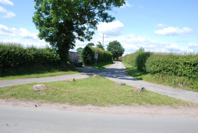
The hill is accessible via well-maintained footpaths and trails, making it an ideal location for outdoor activities such as walking, jogging, and birdwatching. It is also a popular destination for dog walkers and families seeking a peaceful retreat in nature.
Overall, Saredon Hill is a scenic and historically significant landmark in Staffordshire, offering visitors an opportunity to engage with the natural beauty and cultural heritage of the area.
If you have any feedback on the listing, please let us know in the comments section below.
Saredon Hill Images
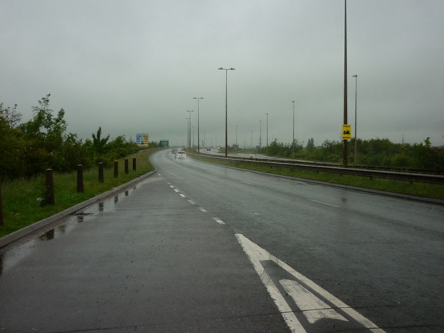
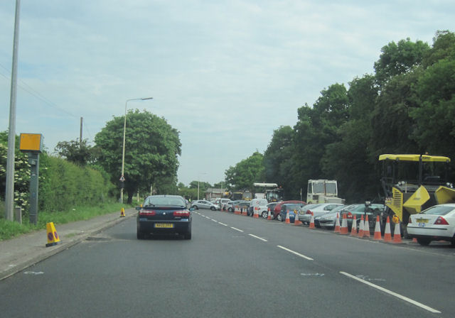
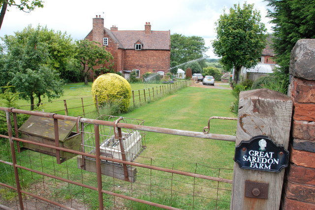
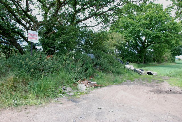
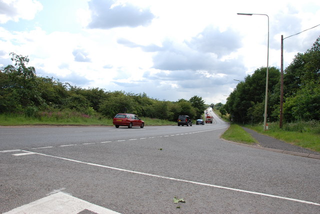
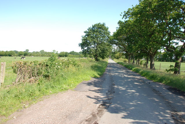
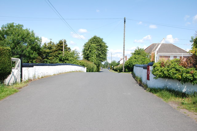
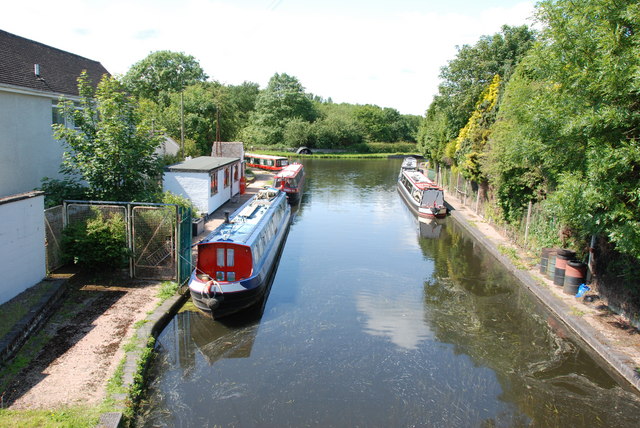
Images are sourced within 2km of 52.668165/-2.0778417 or Grid Reference SJ9407. Thanks to Geograph Open Source API. All images are credited.


Saredon Hill is located at Grid Ref: SJ9407 (Lat: 52.668165, Lng: -2.0778417)
Administrative County: Staffordshire
District: South Staffordshire
Police Authority: Staffordshire
What 3 Words
///economies.lunch.crowd. Near Featherstone, Staffordshire
Nearby Locations
Related Wikis

Saredon
Saredon is a civil parish in South Staffordshire district, Staffordshire, England, situated to the north east of Wolverhampton, West Midlands, and to the...
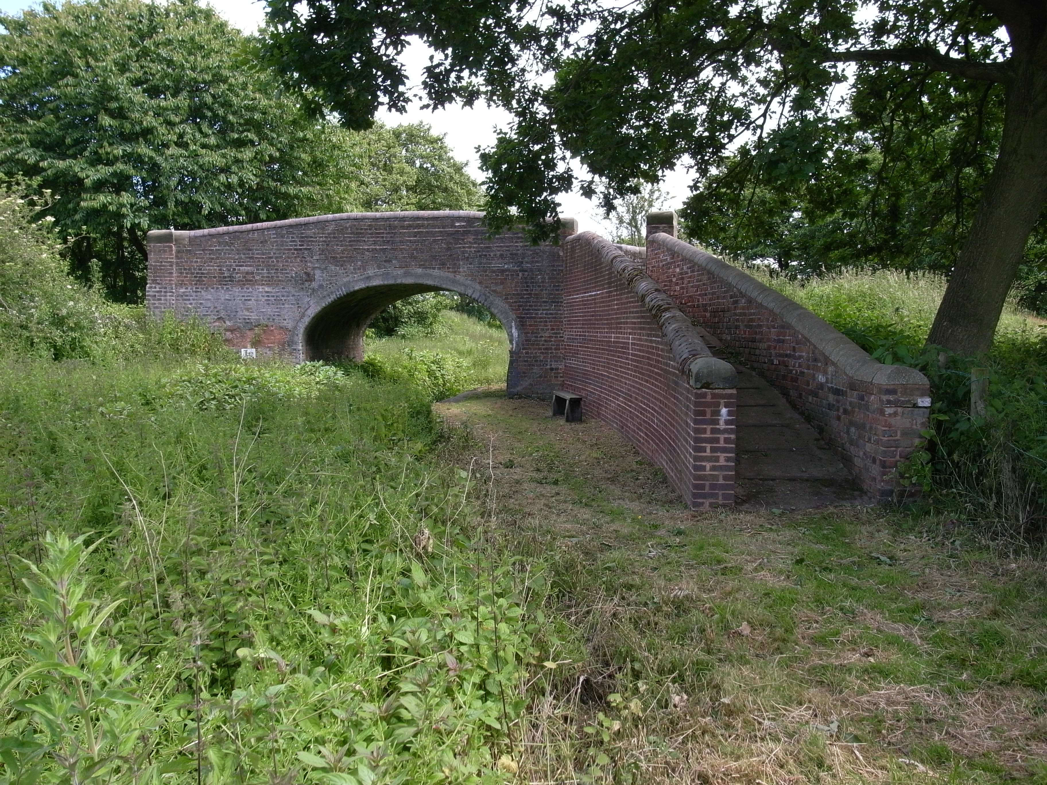
Hatherton Canal
The Hatherton Canal is a derelict branch of the Staffordshire and Worcestershire Canal in south Staffordshire, England. It was constructed in two phases...
Shareshill
Shareshill is a village and civil parish in the South Staffordshire district, in the county of Staffordshire, England. The population as measured in the...

Four Crosses, Staffordshire
Four Crosses in South Staffordshire, Staffordshire, England. Is a scattered hamlet located between Cannock and Wolverhampton. As well as Penkridge and...
Nearby Amenities
Located within 500m of 52.668165,-2.0778417Have you been to Saredon Hill?
Leave your review of Saredon Hill below (or comments, questions and feedback).