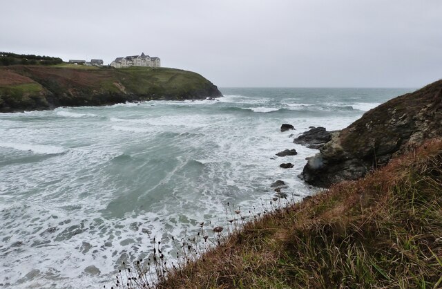
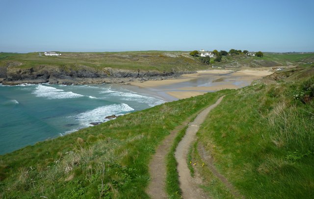
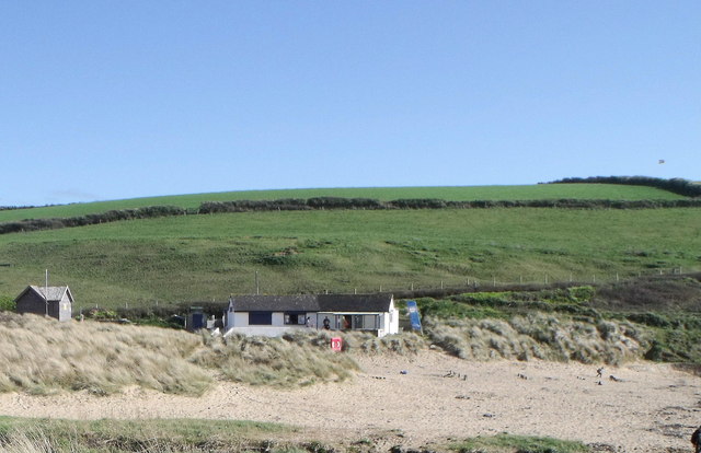
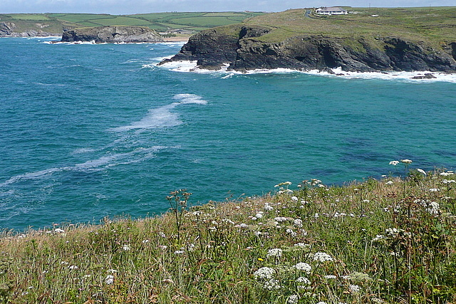
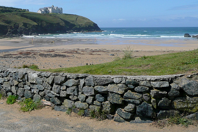
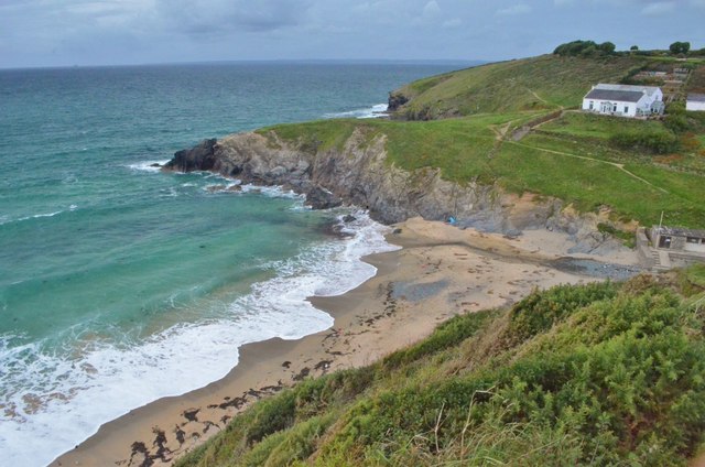
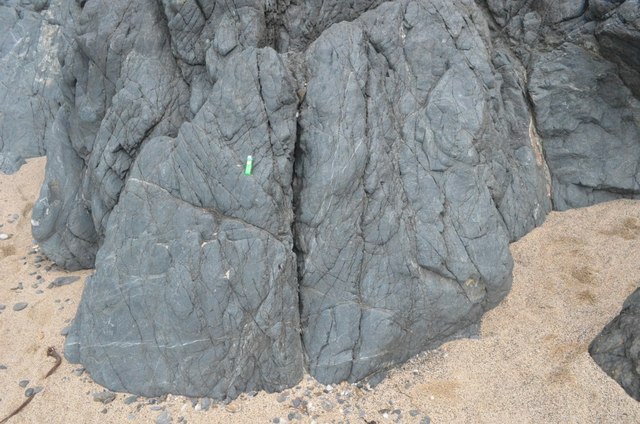
Church Cove

Bay in Cornwall

England

Church Cove

Heavy sea at Poldhu Cove, near Mullion, Cornwall The building on the cliff top is a care home (Hope I'll be able to afford to go there when the time comes).
Heavy sea at Poldhu Cove, near Mullion, Cornwall Credit: Derek Voller

The requested URL returned error: 429 Too Many Requests

If you have any feedback on the listing, please let us know in the comments section below.
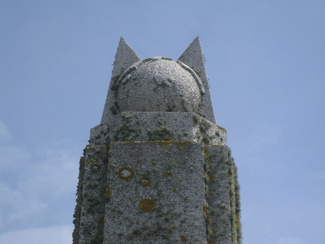
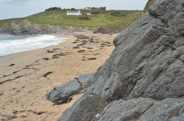
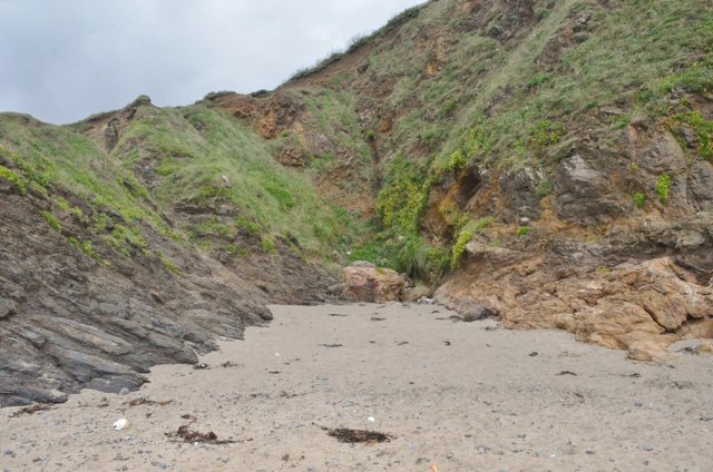
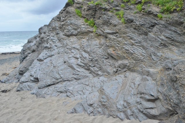
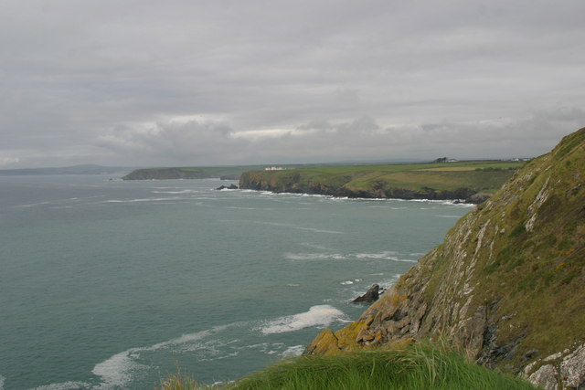
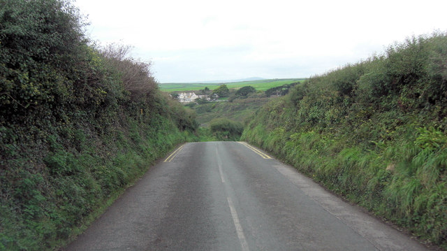
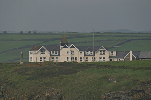
Church Cove Images

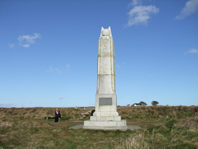
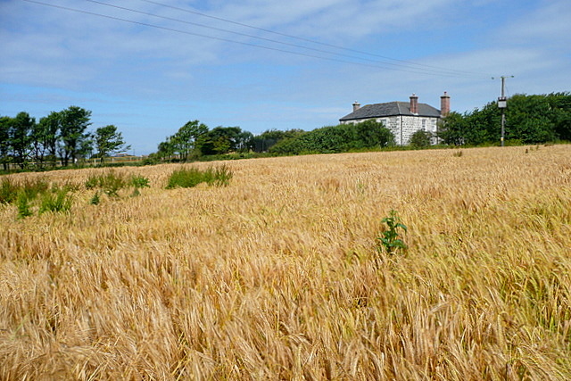
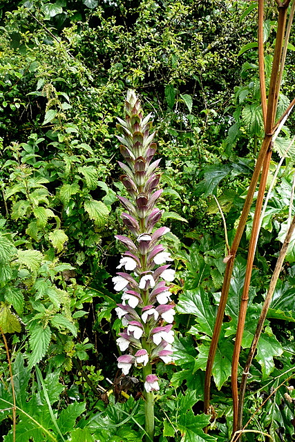
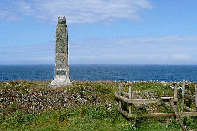
Images are sourced within 2km of 50.037585/-5.2683492 or Grid Reference SW6620. Thanks to Geograph Open Source API. All images are credited.

Heavy sea at Poldhu Cove, near Mullion, Cornwall The building on the cliff top is a care home (Hope I'll be able to afford to go there when the time comes).
Heavy sea at Poldhu Cove, near Mullion, Cornwall
The building on the cliff top is a care home (Hope I'll be able to afford to go there when the time comes).
Poldhu Cove
Poldhu Cove
Beach cafe at Poldhu, Cornwall
Marconi Monument - top feature This is a close up of the stone feature on the top of the monument to Marconi's success in trans-Atlantic communications. No doubt that is reflected in the choice of the stone globe on the top of the monument represents the Earth. <a href="https://www.geograph.org.uk/photo/468670">SW6619 : The Marconi Monument</a>
Marconi Monument - top feature
This is a close up of the stone feature on the top of the monument to Marconi's success in trans-Atlantic communications. No doubt that is reflected in the choice of the stone globe on the top of the monument represents the Earth. SW6619 : The Marconi Monument
Marconi Monument, Poldhu Cove, Cornwall
Towards Angrouse Farm We had started, only 10 minuts earlier, in rain, but the sun came out quickly after the rain stopped and the barley here was glistening.  At the far end of this footpath, near Angrouse Farm, John Wesley preached a sermon on 7th September 1762.  There is a stone marking the location, which is a listed structure.
Towards Angrouse Farm
We had started, only 10 minuts earlier, in rain, but the sun came out quickly after the rain stopped and the barley here was glistening. At the far end of this footpath, near Angrouse Farm, John Wesley preached a sermon on 7th September 1762. There is a stone marking the location, which is a listed structure.
Wild flowers at Angrouse Lane The lane from Angrouse Farm towards the Marconi monument was full of wild hedgerow plants.  Here is one of them, which hopefully someone will identify for me.
Wild flowers at Angrouse Lane
The lane from Angrouse Farm towards the Marconi monument was full of wild hedgerow plants. Here is one of them, which hopefully someone will identify for me.
Marconi monument This monument is close to the spot where, in 1901, Marconi sent the first radio signal across the Atlantic.  Nearby is the location of Poldhu Wireless Station, which operated between 1900 and 1933.  In the foreground is a typical Cornish wall, of stones laid one end.
Marconi monument
This monument is close to the spot where, in 1901, Marconi sent the first radio signal across the Atlantic. Nearby is the location of Poldhu Wireless Station, which operated between 1900 and 1933. In the foreground is a typical Cornish wall, of stones laid one end.
Poldhu Cove Coming from the south this is the first view of Poldhu Cove, a deep but narrow inlet.  Beyond, in <a href="https://www.geograph.org.uk/gridref/SW6620">SW6620</a> is Church Cove, which we will get to later.
Poldhu Cove
Coming from the south this is the first view of Poldhu Cove, a deep but narrow inlet. Beyond, in SW6620 is Church Cove, which we will get to later.
Poldhu Cove This is a popular cove, because the length of the cove means that there is a nice section of relatively sheltered water before the open sea.  On the far cliff top is Poldhu Point Hotel.
Poldhu Cove
This is a popular cove, because the length of the cove means that there is a nice section of relatively sheltered water before the open sea. On the far cliff top is Poldhu Point Hotel.
Pollurian Cove A view of the cove which shows the Lizard boundary fault. The boundary between the blueschists of the Lizard ophiolite and Devonian metapelites.
Pollurian Cove
A view of the cove which shows the Lizard boundary fault. The boundary between the blueschists of the Lizard ophiolite and Devonian metapelites.
Lizard Ophiolite - Blueschist A view of blueschist (hornblende blueschist), it used to be seafloor/subseafloor basalt volcanics before high P, low T metamorphism.
Lizard Ophiolite - Blueschist
A view of blueschist (hornblende blueschist), it used to be seafloor/subseafloor basalt volcanics before high P, low T metamorphism.
Lizard Ophiolite - Blueschist A view of blueschist (hornblende blueschist), it used to be seafloor/subseafloor basalt volcanics before high P, low T metamorphism.

On the other side is metapelites of Devonian age, separated by the Lizard Boundary fault.
Lizard Ophiolite - Blueschist
A view of blueschist (hornblende blueschist), it used to be seafloor/subseafloor basalt volcanics before high P, low T metamorphism. On the other side is metapelites of Devonian age, separated by the Lizard Boundary fault.
Lizard Boundary Fault Lizard complex to the right (blueschist) with Devonian metapelites to the left.
Lizard Boundary Fault
Lizard complex to the right (blueschist) with Devonian metapelites to the left.
Devonian Metapelites
Polurrian Cove from Henscath Poldu Point is in the mid distance (with Poldu Care Home showing up as a white building) and to its right Angrouse Cliff. To the left of Poldu is Halzephron Cliff and beyond that Penzance.
Polurrian Cove from Henscath
Poldu Point is in the mid distance (with Poldu Care Home showing up as a white building) and to its right Angrouse Cliff. To the left of Poldu is Halzephron Cliff and beyond that Penzance.
Poldhu Road descends towards the cove
Poldhu Care Home and Marconi Monument Taken from Henscath Head one mile to the south!
Poldhu Care Home and Marconi Monument
Taken from Henscath Head one mile to the south!
Show me another place!

Church Cove is located at Grid Ref: SW6620 (Lat: 50.037585, Lng: -5.2683492)

Unitary Authority: Cornwall

Police Authority: Devon and Cornwall

What 3 Words

///charm.mammal.following. Near Mullion, Cornwall

Related Wikis

St Winwaloe's Church, Gunwalloe

The Church of Saint Winwaloe is the Grade I listed parish church of Gunwalloe in Cornwall, England. == History == The church is in the Church of England...

Baulk Head to Mullion

Baulk Head to Mullion is a coastal Site of Special Scientific Interest (SSSI) in Cornwall, England, UK, noted for both its biological and geological characteristics...

Poldhu

Poldhu is a small area in south Cornwall, England, UK, situated on the Lizard Peninsula; it comprises Poldhu Point and Poldhu Cove. Poldhu means "black...

St Corentine's Church, Cury

St Corentine's Church, Cury is a Grade I listed parish church in the Church of England in Cury, Cornwall, England, UK. == History == The parish church...

Nearby Amenities

Located within 500m of 50.037585,-5.2683492
Source: PGS
Lat/Long: 50.0392252/-5.2707286
Source: PGS
Lat/Long: 50.0380722/-5.2686085
Source: PGS
Lat/Long: 50.0371256/-5.2672456
Source: PGS
Lat/Long: 50.0339275/-5.2644658
Toilets
Check Date: 2023-08-25
Fee: no
Wheelchair: limited
Lat/Long: 50.0407675/-5.2697028
Source: PGS
Lat/Long: 50.03884/-5.2673759
Phone
Access: yes
Emergency: phone
Lat/Long: 50.0407412/-5.2697681
Fire Hydrant
Emergency: fire_hydrant
Fire Hydrant Type: underground
Survey Date: 2023-10-08
Lat/Long: 50.0406437/-5.2698743
Life Ring
Emergency: life_ring
Survey Date: 2023-10-08
Lat/Long: 50.0403999/-5.2698032
Bench
Backrest: no
Survey Date: 2023-10-08
Lat/Long: 50.0396844/-5.2697282
Life Ring
Emergency: life_ring
Survey Date: 2023-10-08
Lat/Long: 50.039115/-5.2684418
Bench
Backrest: no
Survey Date: 2023-10-08
Lat/Long: 50.0394529/-5.2673426
Bench
Backrest: no
Survey Date: 2023-10-08
Lat/Long: 50.0371288/-5.2659192
Waste Basket
Survey Date: 2023-10-08
Waste: dog_excrement
Lat/Long: 50.0408262/-5.2699117
The data included in this document is from www.openstreetmap.org. The data is made available under ODbL.

Have you been to Church Cove?

Leave your review of Church Cove below (or comments, questions and feedback).