Park Bean Cove
Bay in Cornwall
England
Park Bean Cove

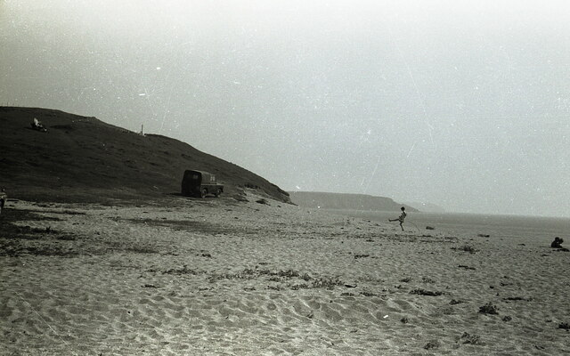
Park Bean Cove is a picturesque bay located in Cornwall, England. Situated along the rugged and dramatic coastline, it offers visitors breathtaking views of the Atlantic Ocean. The cove is nestled between towering cliffs, creating a sense of seclusion and tranquility.
The beach at Park Bean Cove is a mix of sand and pebbles, providing a perfect spot for beachcombing and sunbathing. During low tide, rock pools are exposed, offering a unique opportunity for exploring and discovering marine life. The clear turquoise waters are also ideal for swimming and other water activities.
Surrounded by lush greenery and wildflowers, Park Bean Cove is a haven for nature enthusiasts. The area is home to a variety of bird species, making it popular among birdwatchers. Visitors may also spot seals and dolphins offshore, adding to the area's natural charm.
Access to Park Bean Cove is via a narrow coastal path, which adds to the sense of adventure. The path winds through fields and cliffs, providing stunning views of the surrounding landscape. However, due to its secluded location, facilities such as toilets and refreshments are limited.
Park Bean Cove is a hidden gem along the Cornish coastline, offering a peaceful and unspoiled environment for those seeking a tranquil escape. Its natural beauty and diverse wildlife make it a popular destination for nature lovers and outdoor enthusiasts alike.
If you have any feedback on the listing, please let us know in the comments section below.
Park Bean Cove Images
Images are sourced within 2km of 50.051983/-5.2780886 or Grid Reference SW6522. Thanks to Geograph Open Source API. All images are credited.


Park Bean Cove is located at Grid Ref: SW6522 (Lat: 50.051983, Lng: -5.2780886)
Unitary Authority: Cornwall
Police Authority: Devon and Cornwall
What 3 Words
///commutes.rise.roughest. Near Mullion, Cornwall
Nearby Locations
Related Wikis
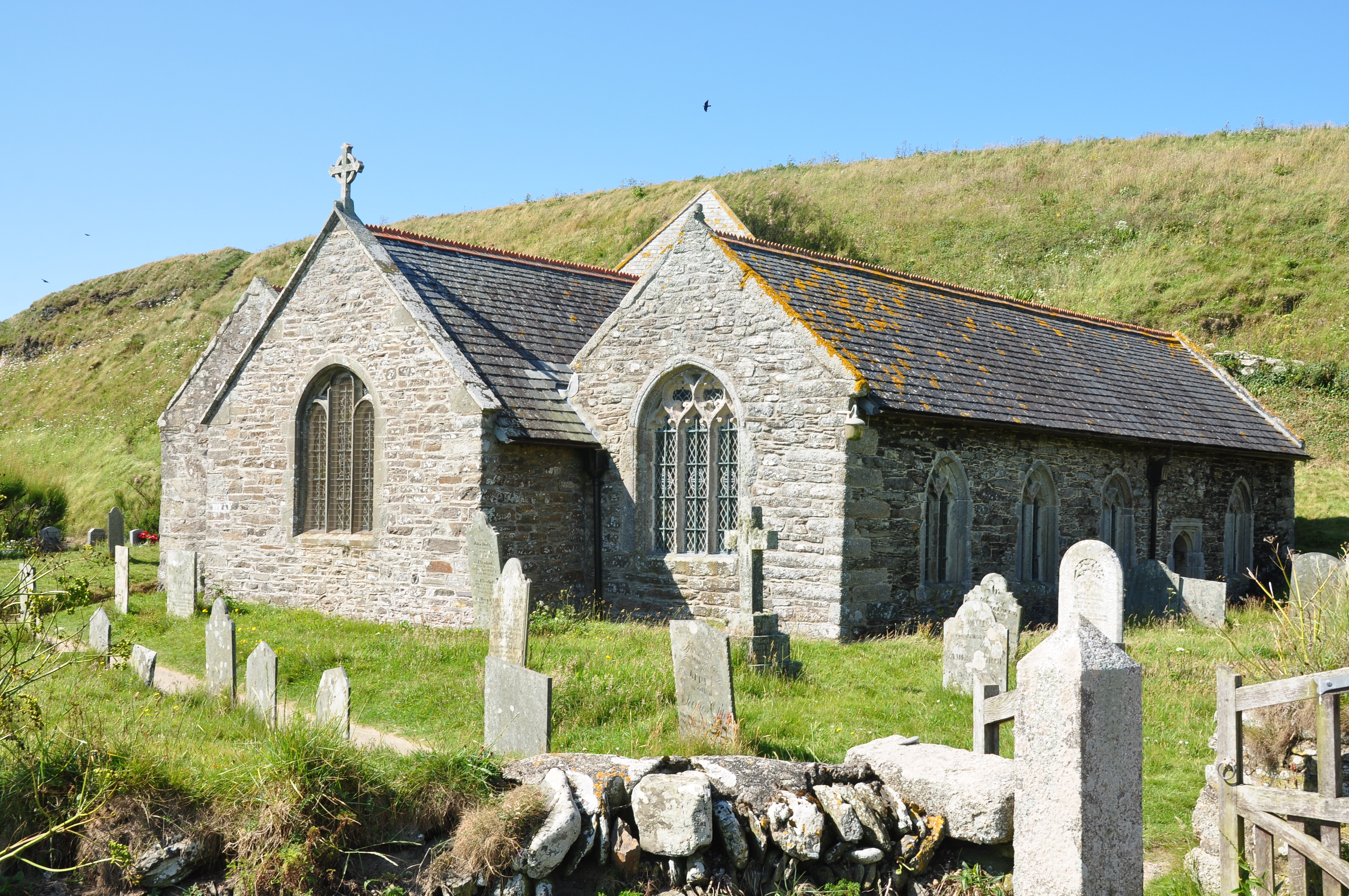
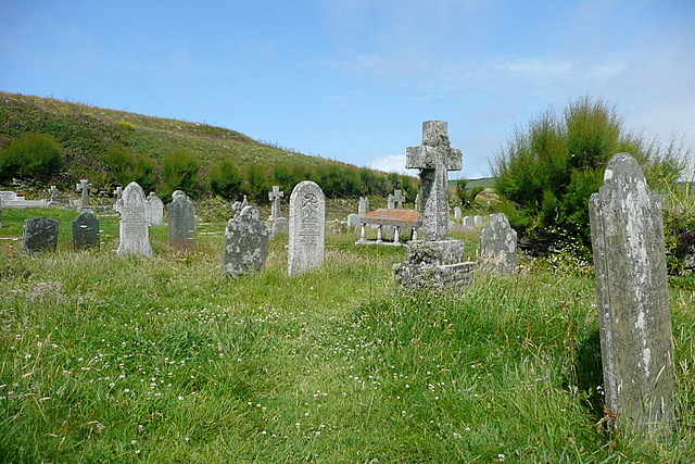
Gunwalloe
Gunwalloe ( Cornish: Pluw Wynnwalow) is a coastal civil parish in Cornwall, England, United Kingdom. It is situated on the Lizard Peninsula three miles...

St Anthony (ship)
St Anthony or Santo António was a Portuguese carrack that foundered in Gunwalloe Bay, Cornwall, in 1527 en route from Lisbon to Antwerp. She had a mixed...
Chyanvounder
Chyanvounder is a hamlet in the parish of Gunwalloe, Cornwall, England. Chyanvounder is situated 3.4 miles (5.5 km) south of Helston on the Lizard Peninsula...
Berepper
Berepper is a coastal village in south Cornwall, England, United Kingdom. It is situated on the west side of the Lizard peninsula four miles (6 km) south...
Nearby Amenities
Located within 500m of 50.051983,-5.2780886Have you been to Park Bean Cove?
Leave your review of Park Bean Cove below (or comments, questions and feedback).