Bassus Green

Settlement in Hertfordshire East Hertfordshire

England

Bassus Green

Pump on green, Ardeley Although looking like an ancient village green surrounded by thatched cottages, according to maps the whole lot appears to be a 20th century creation, including the pump and well. The pump is of the 'mangle' type, a rotating crankshaft moving the piston up and down. It does not work, if it ever did.
Pump on green, Ardeley Credit: Robin Webster

Bassus Green is a charming village located in the county of Hertfordshire, England. Situated in the East Hertfordshire district, it is nestled amidst the picturesque countryside and offers a tranquil and idyllic setting for its residents and visitors alike.

The village is known for its rich history, dating back to medieval times. Its name is derived from the Old English word "bas" meaning "bass" and "hus" meaning "house," suggesting a settlement near a bass fishery. This historical significance is evident through the well-preserved architecture and old buildings that dot the village, adding to its timeless appeal.

Bassus Green boasts a close-knit community, with a population of approximately 500 residents. The village is known for its friendly and welcoming atmosphere, which is often reflected in the various community events and gatherings that take place throughout the year. These events, such as the annual summer fete and Christmas market, provide an opportunity for residents to come together and celebrate the village's vibrant community spirit.

The surrounding countryside offers ample opportunities for outdoor enthusiasts, with numerous walking and cycling trails that wind through the scenic landscapes. The village is also conveniently located near larger towns and cities, with Hertford just a short drive away, providing access to a wider range of amenities and services.

In summary, Bassus Green is a small yet charming village in Hertfordshire, offering a peaceful retreat from the hustle and bustle of city life. With its rich history, friendly community, and stunning countryside, it is a place that truly captures the essence of rural England.

If you have any feedback on the listing, please let us know in the comments section below.
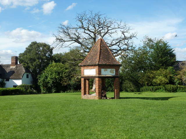
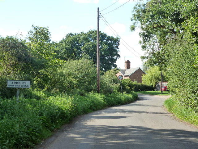
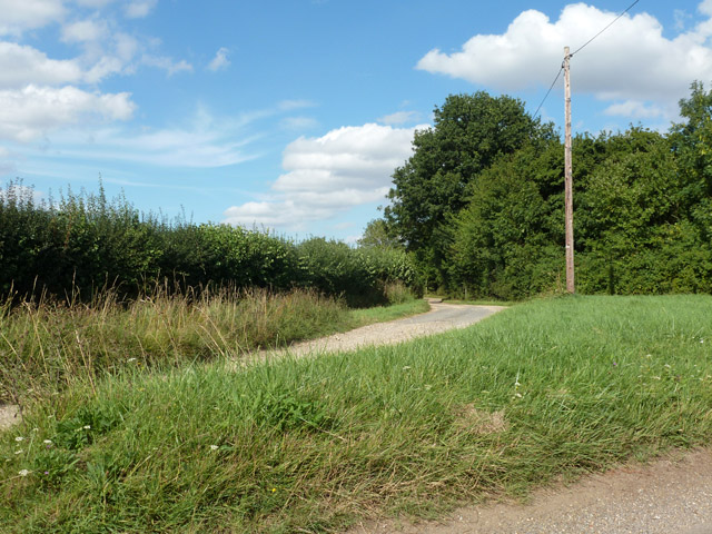
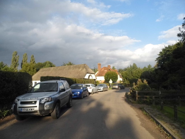
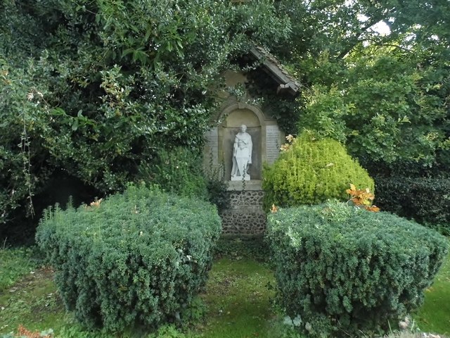
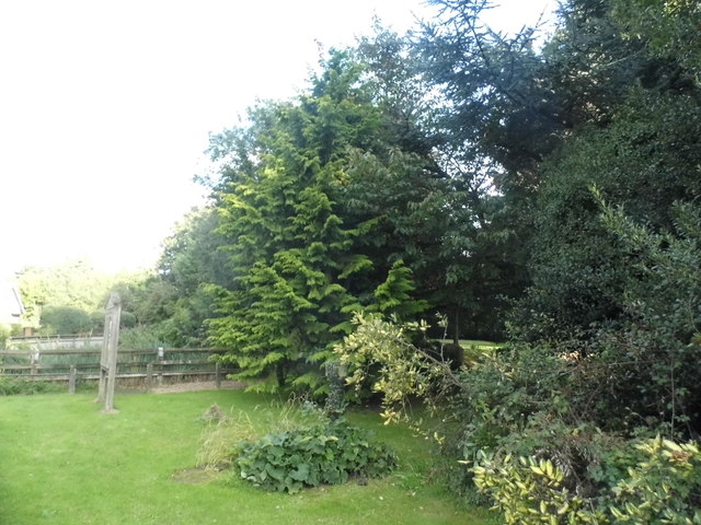
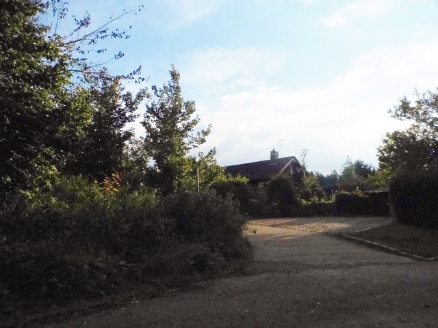
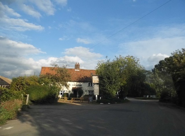
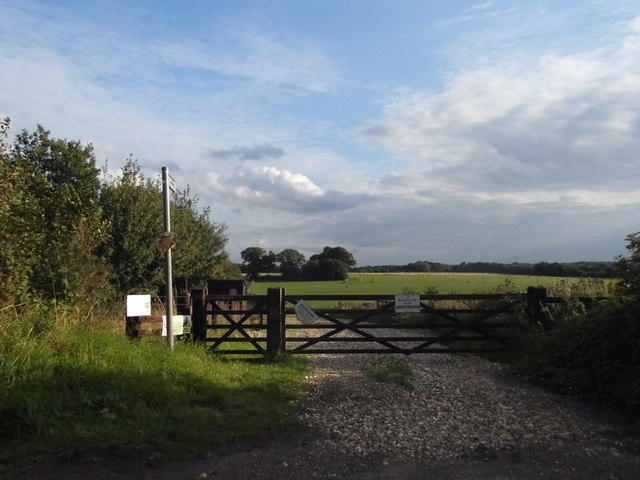
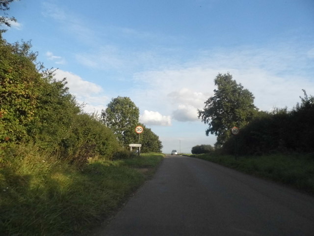
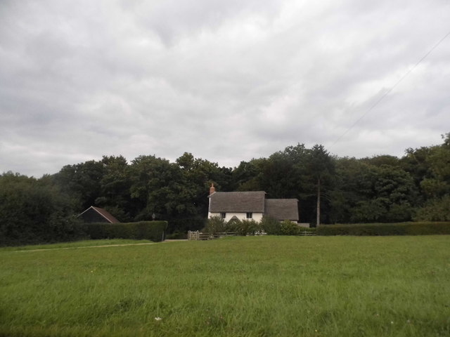
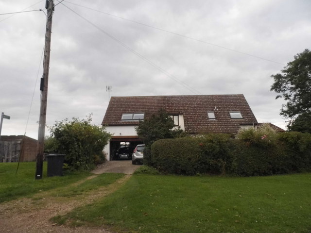
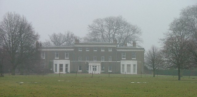
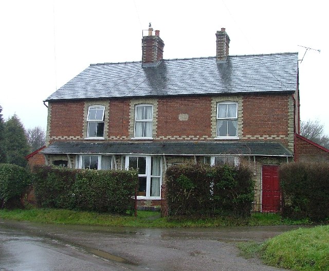
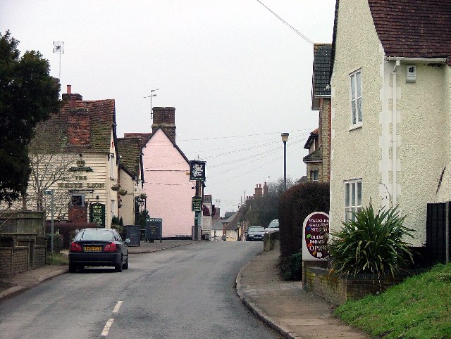
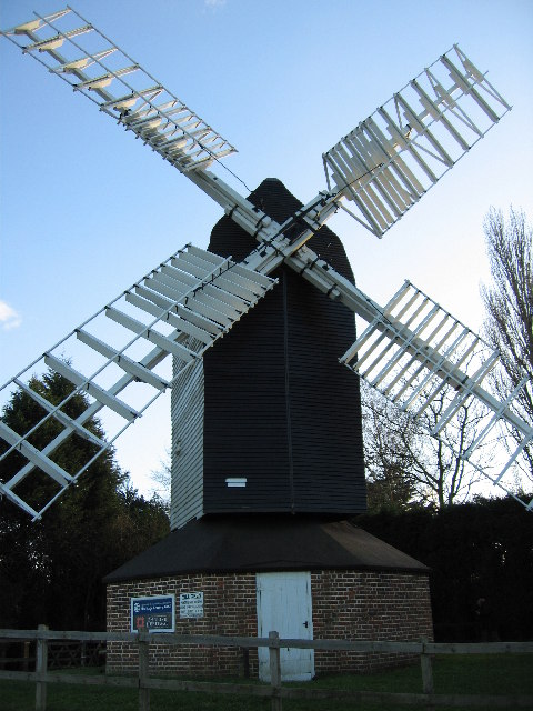
Bassus Green Images

Images are sourced within 2km of 51.914155/-0.104778 or Grid Reference TL3025. Thanks to Geograph Open Source API. All images are credited.

Pump on green, Ardeley Although looking like an ancient village green surrounded by thatched cottages, according to maps the whole lot appears to be a 20th century creation, including the pump and well. The pump is of the 'mangle' type, a rotating crankshaft moving the piston up and down. It does not work, if it ever did.
Pump on green, Ardeley
Although looking like an ancient village green surrounded by thatched cottages, according to maps the whole lot appears to be a 20th century creation, including the pump and well. The pump is of the 'mangle' type, a rotating crankshaft moving the piston up and down. It does not work, if it ever did.
Entering Ardeley From the Moor Green direction.
Entering Ardeley
From the Moor Green direction.
Start of track to Gardners End A triangular junction here. The track could be an unsurfaced public road, but goes no further than Gardners Farm.
Start of track to Gardners End
A triangular junction here. The track could be an unsurfaced public road, but goes no further than Gardners Farm.
The centre of Ardeley Looking towards the church hall, the church is on the right
The centre of Ardeley
Looking towards the church hall, the church is on the right
Shrine by St Lawrence's Church, Ardeley
St Lawrence's Church garden
Little road to Ardeley Bury
The Jolly Waggoner, Ardeley
Entrance to path, Ardeley Leading to Wood End, where I went next as well.
Entrance to path, Ardeley
Leading to Wood End, where I went next as well.
Entering Moor Green
Entering Moor Green
Cottage on Moor Green
House in Ardeley Ardeley is a small village along this unnamed road, Blind Lane and School Lane.
House in Ardeley
Ardeley is a small village along this unnamed road, Blind Lane and School Lane.
Pair of houses in Ardeley
Field by Blind Lane, Ardeley
Walkern Hall I have no idea what this grand looking Hall is used for now. This photo was taken from the adjoining square because Walkern Hall is so close to the edge.
Walkern Hall
I have no idea what this grand looking Hall is used for now. This photo was taken from the adjoining square because Walkern Hall is so close to the edge.
Crossroads at Bassus Green This is not a main road.  it has a limited number of drains but an unlimited number of puddles.
Crossroads at Bassus Green
This is not a main road. it has a limited number of drains but an unlimited number of puddles.
Cottages at Clay End Clay end is not very big.  This is about half of it.
Cottages at Clay End
Clay end is not very big. This is about half of it.
Moor Green Thatched cottage with woods behind at the western end of Moor Green.
Moor Green
Thatched cottage with woods behind at the western end of Moor Green.
Show me another place!

Bassus Green is located at Grid Ref: TL3025 (Lat: 51.914155, Lng: -0.104778)

Administrative County: Hertfordshire

District: East Hertfordshire

Police Authority: Hertfordshire

What 3 Words

///shifters.suspends.upgrading. Near Walkern, Hertfordshire

Related Wikis

Church of St Mary the Virgin, Walkern

The parish church of St Mary the Virgin in Walkern, Hertfordshire, dates from before the Norman Conquest and has been altered in the succeeding centuries...

Ardeley

Ardeley is a small village and civil parish in East Hertfordshire, England. The parish includes the hamlet of Cromer, as well as Wood End and Moor Green...

Walkern

Walkern is a village and civil parish in East Hertfordshire, England. It is about two miles (3 km) from Stevenage. The village has several shops, including...

Benington, Hertfordshire

Benington is a village and civil parish in the East Hertfordshire district of Hertfordshire, England, about four miles east of Stevenage and 35 miles north...

Benington Castle

Benington Castle is a ruined castle in the village of Benington, near Stevenage in Hertfordshire, England at grid reference TL296236. It has been protected...

Moor Hall Meadows

Moor Hall Meadows is a 24.4-hectare (60-acre) biological Site of Special Scientific Interest in Moor Green in Hertfordshire. The local planning authority...

Cromer, Hertfordshire

Cromer is a hamlet in the civil parish of Ardeley, Hertfordshire, England. It is a small hamlet; however, it is noteworthy for possessing Hertfordshire...

Benington High Wood

Benington High Wood is a 20.7-hectare (51-acre) biological Site of Special Scientific Interest in Benington, Hertfordshire. The planning authority is East...

Nearby Amenities

Located within 500m of 51.914155,-0.104778
Note: Position of junction of footpaths cut through crops in July 2014 & August 2017
Lat/Long: 51.9138689/-0.108966
Barrier: bollard
Bicycle: yes
Foot: yes
Horse: yes
Vehicle: private
Lat/Long: 51.9134138/-0.1001683
Bassus Green
Place: hamlet
Lat/Long: 51.9151853/-0.10554
Power: pole
Lat/Long: 51.9121628/-0.105545
Power: pole
Lat/Long: 51.9130927/-0.1053519
Power: pole
Lat/Long: 51.91049/-0.1058508
Power: pole
Lat/Long: 51.9112431/-0.1057105
Power: pole
Lat/Long: 51.9140451/-0.1051416
Power: pole
Lat/Long: 51.9172384/-0.1042963
Power: pole
Lat/Long: 51.9163261/-0.10451
Power: pole
Lat/Long: 51.9154121/-0.1047363
Power: pole
Lat/Long: 51.9181675/-0.1040876
Barrier: bollard
Bicycle: yes
Foot: yes
Horse: yes
Vehicle: private
Lat/Long: 51.913898/-0.1011605
The data included in this document is from www.openstreetmap.org. The data is made available under ODbL.

Have you been to Bassus Green?

Leave your review of Bassus Green below (or comments, questions and feedback).