Basta

Settlement in Shetland

Scotland

Basta

Basta Voe from Colvister Looking east towards the sun poking through clouds (more than two hours after sunrise despite the appearance). There are mussel lines in Basta Voe. In the background is the north end of Hascosay on the far right, with Fetlar beyond that.
Basta Voe from Colvister Credit: Mike Pennington

Basta is a small settlement located on the island of Shetland, which is part of Scotland in the United Kingdom. Situated in the parish of Walls and Sandness, Basta is nestled on the west coast of the mainland Shetland, overlooking the Atlantic Ocean.

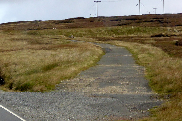
With a population of around 100 people, Basta is a close-knit community known for its picturesque landscapes and rich history. The area is characterized by rolling hills, rugged cliffs, and stunning coastal vistas that attract visitors from around the world.

The village is mainly residential, composed of traditional Shetland croft houses that reflect the area's rural heritage. Agriculture and fishing have long been integral to the local economy, with many residents still engaged in these industries today. The surrounding area offers excellent opportunities for outdoor activities such as hiking, birdwatching, and exploring the nearby sandy beaches.

Basta also boasts cultural attractions, including the Basta Voe Heritage Centre. This community-run establishment showcases the history and heritage of the area, providing insight into the lives of the people who have inhabited the region for centuries.

Despite its small size, Basta provides essential amenities for both residents and visitors, including a primary school, community hall, and a small shop. The settlement's tranquil and picturesque setting, combined with its rich cultural heritage, makes it a charming destination for those looking to experience the natural beauty and cultural heritage of Shetland.

If you have any feedback on the listing, please let us know in the comments section below.
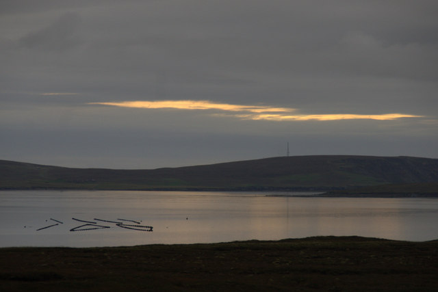
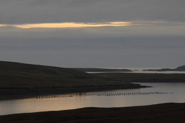
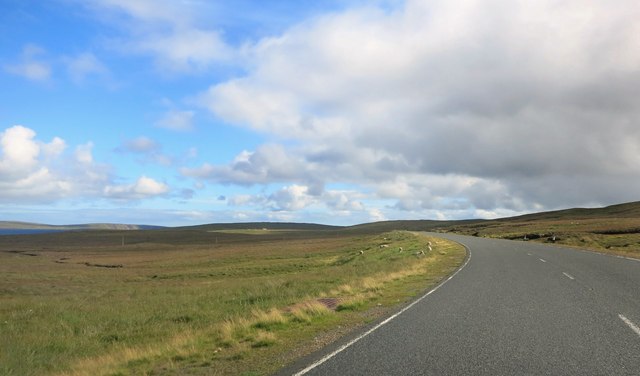
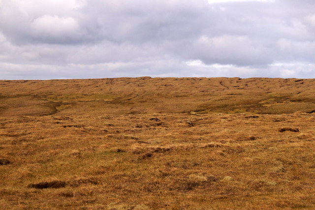
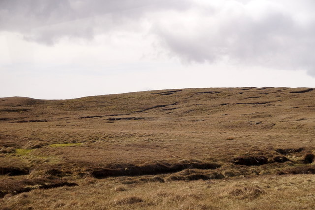
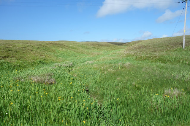
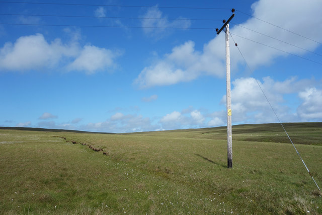
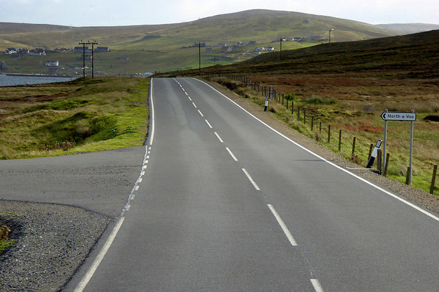
Basta Images

Images are sourced within 2km of 60.630158/-1.046909 or Grid Reference HU5294. Thanks to Geograph Open Source API. All images are credited.

Basta Voe from Colvister Looking east towards the sun poking through clouds (more than two hours after sunrise despite the appearance). There are mussel lines in Basta Voe. In the background is the north end of Hascosay on the far right, with Fetlar beyond that.
Basta Voe from Colvister
Looking east towards the sun poking through clouds (more than two hours after sunrise despite the appearance). There are mussel lines in Basta Voe. In the background is the north end of Hascosay on the far right, with Fetlar beyond that.
Basta Voe from south of Colvister Mussel lines in the voe in the foreground, and Burra Ness and some of the islands noth of Fetlar in the distance.
Basta Voe from south of Colvister
Mussel lines in the voe in the foreground, and Burra Ness and some of the islands noth of Fetlar in the distance.
Machinery on the old road The main road has been resurfaced. A remnant of the old, pre modernization road off to the right makes a convenient hard standing for the road making equipment.
Machinery on the old road
The main road has been resurfaced. A remnant of the old, pre modernization road off to the right makes a convenient hard standing for the road making equipment.
The Main Road at Colvister The A968 about to cross the South Burn of Colvister.
The Main Road at Colvister
The A968 about to cross the South Burn of Colvister.
Moorland at Basta
Moorland at Basta
Hill of Colvister
Hill of Colvister
Salmon farm off Basta Ness
Basta Ness from the sea
Burn of The Dale A small stream draining 3 or 4 sq kms of moor inland from Cunnister.
Burn of The Dale
A small stream draining 3 or 4 sq kms of moor inland from Cunnister.
Buoy on the Beach This looks to have broken its mooring and washed up here. At least it can be rescued here. It could have been half way to Norway by now.
Buoy on the Beach
This looks to have broken its mooring and washed up here. At least it can be rescued here. It could have been half way to Norway by now.
Empty Landscape We thought we would explore along here as it was a road we hadn't been down, but to be honest, compared with other parts of the island it's not that special.
Empty Landscape
We thought we would explore along here as it was a road we hadn't been down, but to be honest, compared with other parts of the island it's not that special.
Kirkabister
Kirkabister
Across Basta Voe Looking across Basta Voe to the Lade of Basta. There is only a small piece of land in the square this side of the Voe, with the old fence shown being in the centre of it.
Across Basta Voe
Looking across Basta Voe to the Lade of Basta. There is only a small piece of land in the square this side of the Voe, with the old fence shown being in the centre of it.
OSBM Bolt - Burn of Basta OSBM Bolt described as NEW OSBM BOLT CUL 14.7M W SIDE RD 1.0M S C BURN OF BASTA (56.912m above Lerwick datum, 2nd order, new 1979).
OSBM Bolt - Burn of Basta
OSBM Bolt described as NEW OSBM BOLT CUL 14.7M W SIDE RD 1.0M S C BURN OF BASTA (56.912m above Lerwick datum, 2nd order, new 1979).
Abandoned bridge Single track bridge which was abandoned during the rebuilding of the A968 main road.  There is an Ordnance Survey Bench Mark bolt located on the bridge's right hand buttress.
Abandoned bridge
Single track bridge which was abandoned during the rebuilding of the A968 main road. There is an Ordnance Survey Bench Mark bolt located on the bridge's right hand buttress.
Road Junction on the A968 near Camb The A968 is the United Kingdom's northernmost A-road. It is 42 miles long and connects the islands of Yell and Unst to the Shetland Mainland. Travelling the length of the road involves two ferry crossings and the road is actually separated into three sections. The first 10 miles is from the A970 at Voe on the Shetland mainland to the ferry terminal at Toft. The next 17½ miles crosses the island of Yell, running between the ferry terminals at Ulsta and Gutcher. Finally, the road runs for a further 10 miles across Unst from the ferry terminal at Belmont to Haroldswick.
Road Junction on the A968 near Camb
The A968 is the United Kingdom's northernmost A-road. It is 42 miles long and connects the islands of Yell and Unst to the Shetland Mainland. Travelling the length of the road involves two ferry crossings and the road is actually separated into three sections. The first 10 miles is from the A970 at Voe on the Shetland mainland to the ferry terminal at Toft. The next 17½ miles crosses the island of Yell, running between the ferry terminals at Ulsta and Gutcher. Finally, the road runs for a further 10 miles across Unst from the ferry terminal at Belmont to Haroldswick.
A968 Kirka Dale The A968 is the United Kingdom's northernmost A-road. It is 42 miles long and connects the islands of Yell and Unst to the Shetland Mainland. Travelling the length of the road involves two ferry crossings and the road is actually separated into three sections. The first 10 miles is from the A970 at Voe on the Shetland mainland to the ferry terminal at Toft. The next 17½ miles crosses the island of Yell, running between the ferry terminals at Ulsta and Gutcher. Finally, the road runs for a further 10 miles across Unst from the ferry terminal at Belmont to Haroldswick.
A968 Kirka Dale
The A968 is the United Kingdom's northernmost A-road. It is 42 miles long and connects the islands of Yell and Unst to the Shetland Mainland. Travelling the length of the road involves two ferry crossings and the road is actually separated into three sections. The first 10 miles is from the A970 at Voe on the Shetland mainland to the ferry terminal at Toft. The next 17½ miles crosses the island of Yell, running between the ferry terminals at Ulsta and Gutcher. Finally, the road runs for a further 10 miles across Unst from the ferry terminal at Belmont to Haroldswick.
Former Route of A968 The A968 is the United Kingdom's northernmost A-road. It is 42 miles long and connects the islands of Yell and Unst to the Shetland Mainland. Travelling the length of the road involves two ferry crossings and the road is actually separated into three sections. The first 10 miles is from the A970 at Voe on the Shetland mainland to the ferry terminal at Toft. The next 17½ miles crosses the island of Yell, running between the ferry terminals at Ulsta and Gutcher. Finally, the road runs for a further 10 miles across Unst from the ferry terminal at Belmont to Haroldswick.
Former Route of A968
The A968 is the United Kingdom's northernmost A-road. It is 42 miles long and connects the islands of Yell and Unst to the Shetland Mainland. Travelling the length of the road involves two ferry crossings and the road is actually separated into three sections. The first 10 miles is from the A970 at Voe on the Shetland mainland to the ferry terminal at Toft. The next 17½ miles crosses the island of Yell, running between the ferry terminals at Ulsta and Gutcher. Finally, the road runs for a further 10 miles across Unst from the ferry terminal at Belmont to Haroldswick.
Show me another place!

Basta is located at Grid Ref: HU5294 (Lat: 60.630158, Lng: -1.046909)

Unitary Authority: Shetland Islands

Police Authority: Highlands and Islands

What 3 Words

///mealtime.parsnip.static. Near Gutcher, Shetland Islands

Nearby Locations

Basta

Related Wikis

Basta, Shetland

Basta is a hamlet on the island of Yell in the Shetland islands of Scotland. It is on the shores of Basta Voe and is in the parish of Yell. == References... ==

Yell, Shetland

Yell (Scots: Yell) is one of the North Isles of Shetland, Scotland. In the 2011 census it had a usually resident population of 966. It is the second largest...

Mid Yell

Mid Yell is a coastal settlement on the island of Yell, the second largest of Shetland Islands, Scotland. Mid Yell, the largest settlement on the island...

Burra Ness Broch

Burra Ness Broch is an iron-age broch located on the east coast of the island of Yell, Shetland, Scotland. == Location == Burra Ness Broch (grid reference...

Nearby Amenities

Located within 500m of 60.630158,-1.046909
Basta
Place: hamlet
Lat/Long: 60.6297309/-1.0457816
Power: pole
Lat/Long: 60.630428/-1.0474885
Power: pole
Lat/Long: 60.6297821/-1.0476735
Power: pole
Lat/Long: 60.6293664/-1.0523433
Power: pole
Lat/Long: 60.6293493/-1.0539579
Power: pole
Lat/Long: 60.629373/-1.055291
Power: pole
Lat/Long: 60.6298182/-1.0453527
Barrier: cattle_grid
Lat/Long: 60.6296069/-1.0484284
Power: pole
Lat/Long: 60.6294151/-1.0395624
Power: pole
Lat/Long: 60.62895/-1.0396094
Power: pole
Lat/Long: 60.6285748/-1.0393988
Power: pole
Lat/Long: 60.6287287/-1.0406166
Power: pole
Lat/Long: 60.6289063/-1.0420408
Power: pole
Lat/Long: 60.6290602/-1.0432424
Power: pole
Lat/Long: 60.6292023/-1.044428
Power: pole
Lat/Long: 60.6293417/-1.0456296
Power: pole
Lat/Long: 60.6291236/-1.0505311
Power: pole
Lat/Long: 60.6291841/-1.0491873
Power: pole
Lat/Long: 60.6292499/-1.0478059
Power: pole
Lat/Long: 60.6293039/-1.0467036
Power: pole
Lat/Long: 60.630424/-1.0469906
Power: pole
Lat/Long: 60.6304382/-1.0463298
Power: pole
Lat/Long: 60.6301777/-1.0459221
Power: pole
Lat/Long: 60.6307495/-1.0468433
The data included in this document is from www.openstreetmap.org. The data is made available under ODbL.

Have you been to Basta?

Leave your review of Basta below (or comments, questions and feedback).